The American Coastline That Is Actually Growing
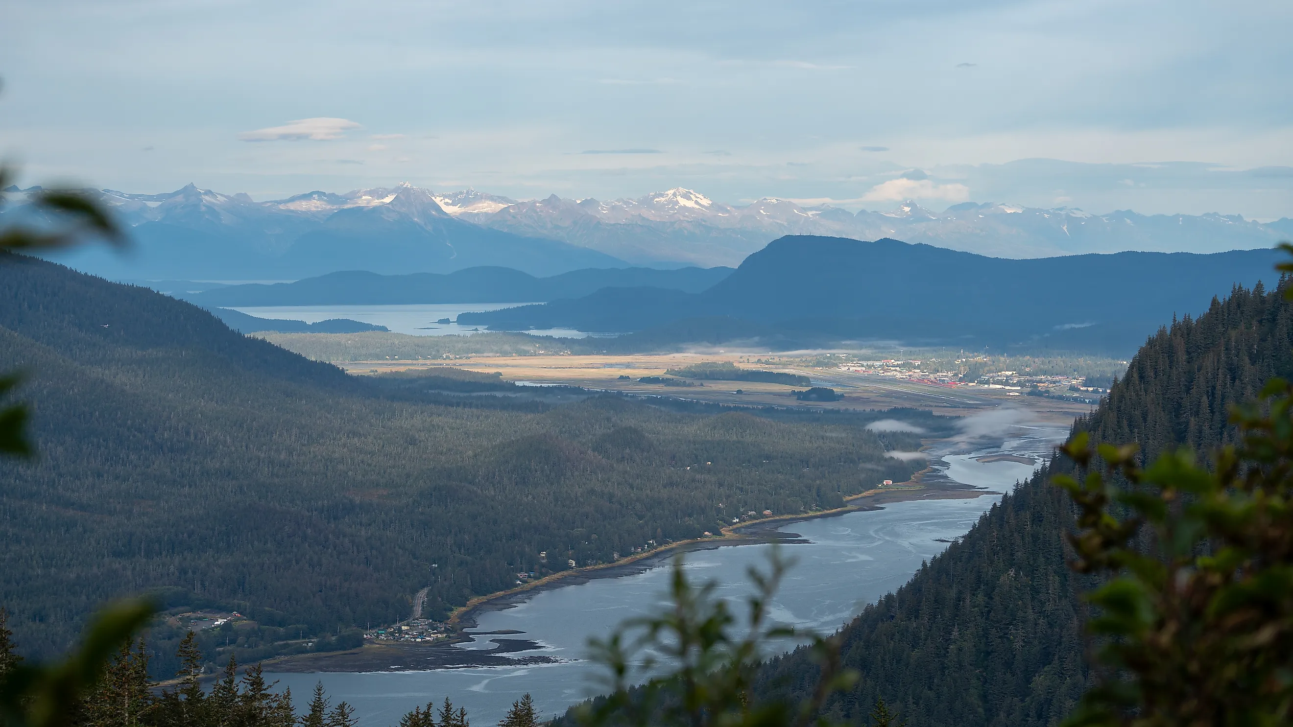
In Juneau, Alaska, homeowners along the Mendenhall Wetlands have been able to claim new land that rose out of the sea next to their property. It is not a legal loophole. The ground in Southeast Alaska is rising faster than the ocean around it, about half an inch a year near Juneau and up to roughly an inch a year around Glacier Bay, according to the University of Alaska's climate research center. Instead of vanishing under the tide, the shoreline here is slowly climbing out of it. While most of the US coastline is battling erosion and rising seas, this stretch of Alaska's Inside Passage is pushing its shoreline outward, making it the clearest example of an American coast that is actually growing.
Why Southeast Alaska Is Rising

The answer is ice. For centuries, massive glaciers pressed down on Southeast Alaska, squeezing the land into the Earth's crust like a heavy weight on a mattress. As those glaciers have melted back since the end of the Little Ice Age, the weight has come off, and the land is slowly springing back up. Geologists call this isostatic rebound, or glacial rebound, and the rates in Southeast Alaska rank among the fastest ever measured anywhere on Earth.
That uplift is outpacing sea level rise. Across the world, the oceans are rising by a fraction of an inch each year, but in Juneau, the land is climbing even faster, so the sea is actually retreating from the shore. Researchers at the University of Alaska estimate that, under mid-range projections, sea level in Juneau may be roughly the same in 2100 as it was in 2020, even as it climbs along most other American coasts.
New Land At The Mendenhall Wetlands

The change is easiest to see at the Mendenhall Wetlands State Game Refuge, a vast stretch of tidal flats and marsh in the middle of Juneau. Because the wetlands are so flat, even small changes in elevation move the shoreline a long way. According to the Southeast Alaska Land Trust, the edge of the tides can shift hundreds of feet seaward over a few decades. Ground that used to flood at high tide is turning into dry meadow, and the refuge's boundary is shrinking as its edges rise out of reach of the sea.
Under Alaska law, when new land rises above the high tide line next to private property, the owner can claim it. This "accreted land" has added acres to some backyards. Rather than building on it, several owners have sold their new ground to the land trust so it can stay part of the wetlands.
A Golf Course Built On Former Seafloor

The uplift is even faster near Glacier Bay, where the region's glaciers have retreated the most. In the small town of Gustavus, at the mouth of the bay, the land is rising so quickly that one family was able to expand its golf course onto ground that had only recently emerged from the sea, as The New York Times reported in 2009. Nearby, Glacier Bay National Park shows the process in action, with bare ground and young forests appearing where ice and water stood only a few centuries ago.
Louisiana's Growing Deltas

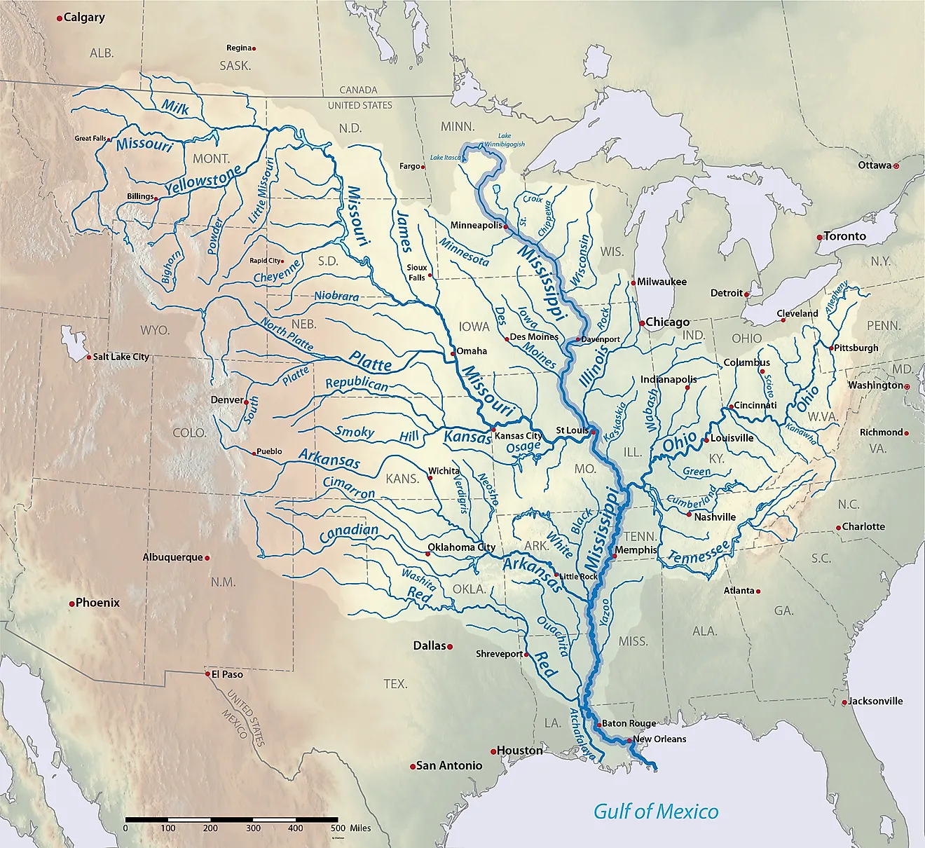
Thousands of miles away, the Gulf Coast has its own surprise. Louisiana is one of the fastest-shrinking coastlines in the country, and the Mississippi River Delta has lost roughly 2,000 square miles of land over the last 80 years. But at the mouths of the Atchafalaya River and the nearby Wax Lake Outlet, a man-made flood-relief channel, the coast is growing.
The process works the opposite way from Alaska. Instead of the ground rising, rivers are dropping huge loads of mud and sand into Atchafalaya Bay, building new islands and marsh. New land first broke the surface after a major flood in 1973, and according to scientists at Louisiana State University, the two deltas together have grown by about a square mile each year since. The growth is not steady. Big floods add land in bursts, while hurricanes can wash some of it away. Scientists now study these deltas as models for rebuilding the rest of Louisiana's disappearing coast.
A Coast That Moves The Other Way
The US has more than one coastline gaining ground. Volcanic eruptions on Hawaii's Big Island add new land when lava pours into the ocean, and Louisiana's deltas build fresh marsh out of river mud. But no American coast is growing as steadily, or across as wide an area, as Southeast Alaska, where the land itself is climbing out of the sea. For Juneau, that means a shoreline that keeps creeping outward, wetlands that slowly dry into meadow, and a rare spot in the country where people worry less about the ocean rising than about it slipping away.