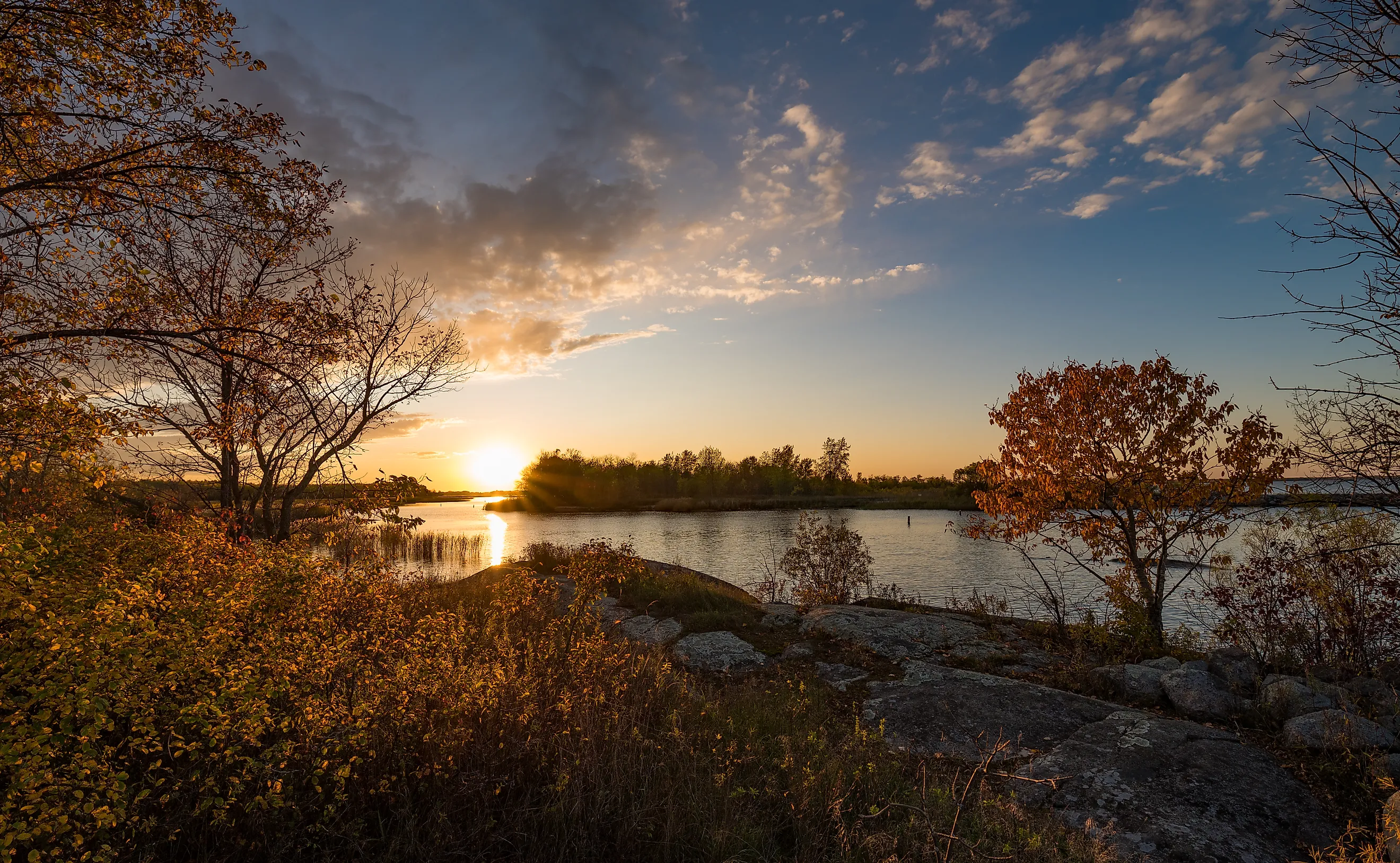
The Northernmost County In The Lower 48
Lake of the Woods County, Minnesota, reaches farther north than any other county in the Lower 48. Its northernmost territory lies in what is called the "Northwest Angle," a section of mainland and islands extending above the 49th parallel, where much of the western United States meets the Canadian border until it hits the shores of the Pacific Ocean near Vancouver. This unusual boundary gives the county a geographical distinction with a few interesting consequences. Driving from the rest of Minnesota to the Angle requires passing through Canada, while traveling across Lake of the Woods provides a route that stays within the U.S., but of course, demands a watercraft of some sort.
Where Exactly is Lake of the Woods County?

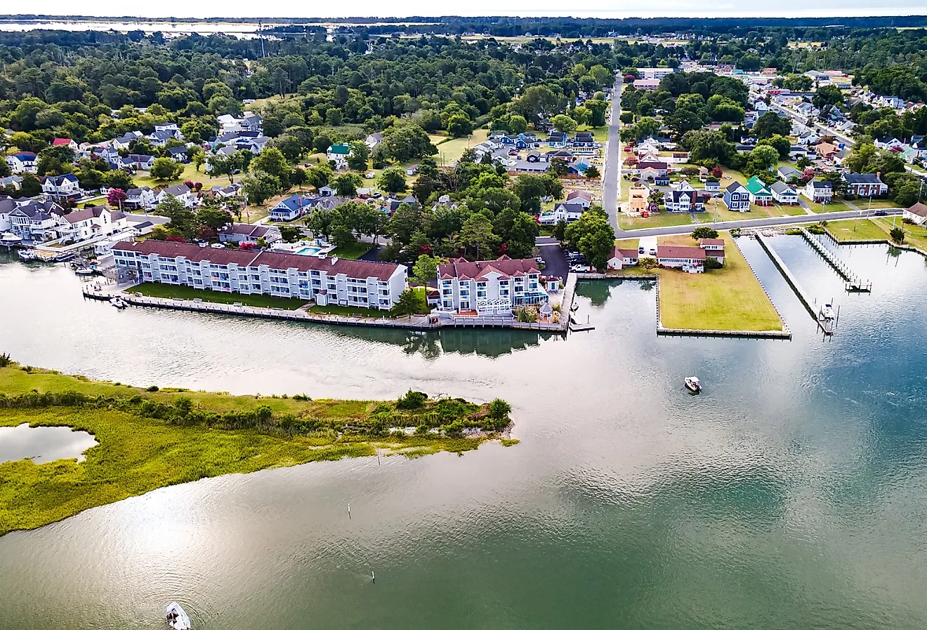
This county occupies Minnesota's far northern border, one that adjoins Manitoba and Ontario. Baudette, its county seat, stands along the Rainy River opposite the town of Rainy River, Ontario. This important riverway feeds Lake of the Woods, a large, nearly 1,680 square mile (4,351 sq km) international body of water shared by Minnesota and the two Canadian provinces.
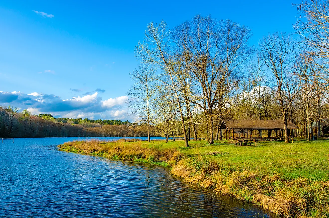
The county and lake may share a name, but the lake extends well beyond the county's boundaries. On the other hand, much of its mainland stretches south and west of the lake, encompassing forests, wetlands, farmland, and small, rural communities. Along the southern shoreline, resorts and boat launches are popular for fishing and lake travel, while Zippel Bay State Park protects a sandy beach and pristine, wooded shoreline. Farther north, Angle Inlet serves the mainland portion of the Northwest Angle.
Why the Border Here Takes Such an Unusual Turn

The Northwest Angle exists because former diplomats drew a boundary using an inaccurate understanding of North American geography. In the 1783 Treaty of Paris, which ended the American Revolutionary War, the United States and Great Britain agreed that the border would pass through Lake of the Woods to its northwesternmost point, then run west to the Mississippi River.
But that route was impossible, as the Mississippi's headwaters lie south of Lake of the Woods, so a line extending west from the lake could never actually reach the river. The agreement had then turned a fairly understandable geographical error into an international boundary problem.
The Anglo-American Convention of 1818 addressed the mistake by establishing the 49th parallel as the boundary westward to the Rocky Mountains. However, it retained the lake's northwesternmost point (which sits noticeably above the parallel) as a reference, connecting it to the parallel with a north-south line. Because that point lies north of the parallel, the arrangement left the Northwest Angle technically on the American side according to the rules set beforehand.
The Webster-Ashburton Treaty of 1842 further clarified this unique international conundrum, preserving the unusual protrusion that eventually became part of Minnesota when it gained statehood in 1858.
A County Shaped by Water and Forest

As mentioned, Lake of the Woods receives water primarily from the Rainy River, linking the county's southern shoreline to a watershed that extends east along the Canadian border. Here, a plethora of beaches and sheltered bays give way to open water, while countless islands pepper the lake farther north. Shallow bays also provide spawning and nursery habitat for massive populations of fish, and marshes likewise offer feeding and nesting areas for waterfowl.
Inland, forests of aspen, birch, spruce, and pine typical of the northern United States mix with extensive peatlands. Poor drainage allows water to accumulate across the relatively flat terrain, supporting a number of bogs and swamps, too. These wet forests provide prime habitat for moose, black bears, and a diversity of other flora and fauna.
With that, Beltrami Island State Forest covers part of the county, preserving a quiet woodland setting where logging roads and trails cross dense forests far removed from the lake's busier fishing grounds.
The Top Attractions in Lake of the Woods County

Fishing draws perhaps the most visitors due to the region's abundant walleye and sauger, with several docks and charter boats operating from various resorts along Lake of the Woods' southern shores. The Rainy River offers another option for avid anglers, including guided services targeting lake sturgeon. During the colder months, some resorts even provide heated fish houses and transportation onto the frozen water when conditions permit.
For time ashore, Zippel Bay State Park has a few miles of sandy shoreline, a swimming beach, wooded campsites, and a network of hiking trails. A fishing pier provides an alternative to hiring a boat, too. Its protected bay also suits paddling better than the lake's more exposed, often choppy waters. If you do have access to a boat, though, traveling to Garden Island State Recreation Area for a picnic is a great option in the warmer months.
In Baudette, the Lake of the Woods County Museum covers Indigenous history, the fur trade, commercial fishing, and logging. Exhibits examine the devastating forest fire of 1910 as well, which did much to reshape local communities in the past and present. Try stopping by Willie Walleye, too, the town's larger-than-life fish statue, before continuing to the Rainy River waterfront for views across the international boundary toward the neighboring Canadian community of Rainy River in Ontario.
Getting to the Northwest Angle

Reaching Angle Inlet by road means leaving Minnesota, crossing part of southern Manitoba, and entering the United States again at the Northwest Angle. Be sure to bring a passport or other accepted border documents, and check Canadian and American entry requirements before departure. Travelers must also follow the usual customs reporting procedures when crossing back into either country.
To avoid the Canadian land crossing, arrange a boat transfer across Lake of the Woods with a local operator. Lake of the Woods Passenger Service is one that provides regular transportation to the Angle and nearby island resorts. Just confirm pickup locations and luggage arrangements when booking.
Winter transportation depends on ice conditions and available services, so coordinate directly with your lodging provider rather than assuming an ice road or lake crossing will still be operating.
See This Geopolitical Anomaly for Yourself
The highly unusual Lake of the Woods County is a geographical curiosity along an otherwise straight border, one that determines how residents reach neighboring communities and complicates how visitors may schedule their trips. Staying near Baudette puts fishing, parklands, and local history within easy reach, while reaching the Northwest Angle requires a bit more of a well-planned journey. See it for yourself today and experience one of the contiguous United States' most wildlife-filled corners.