Maps of The United Kingdom

The United Kingdom, colloquially known as the UK, occupies a significant portion of the British Isles, located off the northwestern coast of mainland Europe. The United Kingdom is bordered to the south by the English Channel, which separates it from continental Europe, and to the west by the Irish Sea and North Atlantic Ocean. To the east, the North Sea divides the UK from Scandinavia and the rest of continental Europe. The UK encompasses a total area of approximately 242,495 km2 (93,628 mi2).
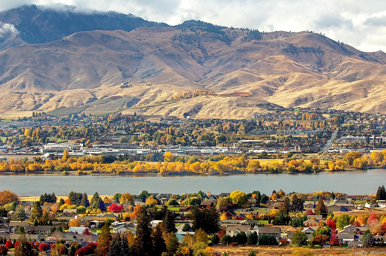
The United Kingdom is composed of four constituent countries: England, Scotland, Wales, and Northern Ireland. Each possesses distinct geographical features and characteristics. England, the largest and most populous country, accounts for over half of the total area of the UK and is characterized by gently rolling hills and lowland plains, particularly in the central and eastern regions, and more mountainous terrain in the north and the west.
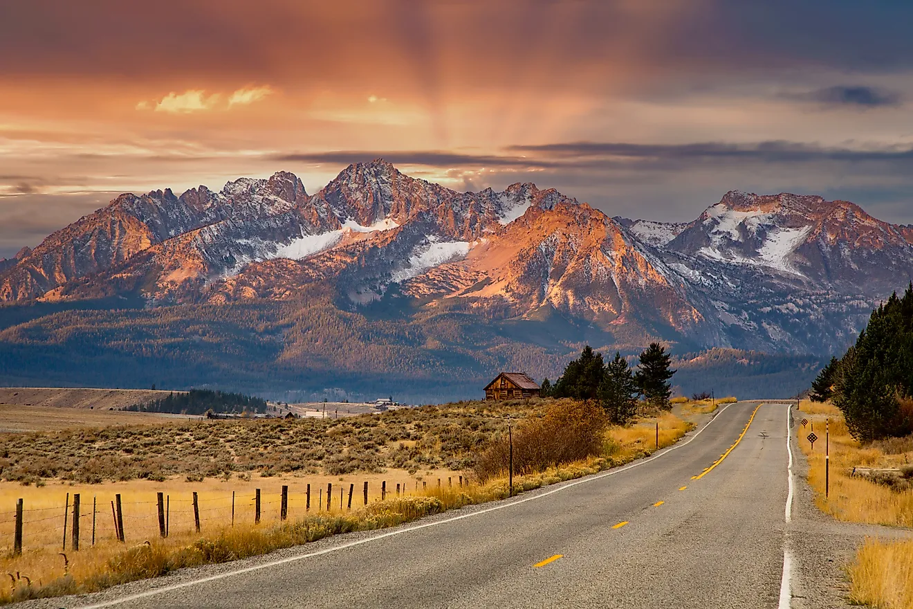
Scotland, to the north, covers about a third of the total area. It is home to the Grampian Mountains, which includes Ben Nevis, the highest peak in the UK, standing at 1,345 m (4,413 ft) high. The Scottish terrain also features extensive lowland areas, especially in the Central Lowlands, where much of the population resides. Numerous lochs, or lakes, pepper the Scottish landscape, the most famous being Loch Ness.
Wales: To the west of England, Wales features rugged mountainous landscapes, particularly in the north and central regions, with the South Wales valleys and the coastal plains providing more level terrains. The highest peak in Wales, Mount Snowdon, reaches 1,085 m (3,560 ft) and is located in Snowdonia National Park.
Northern Ireland, the smallest of the four countries, lies to the west of Great Britain, sharing a land border with the Republic of Ireland. It consists of six of the nine counties of the historic Irish province of Ulster. This region boasts low-lying plateaus and hills, with the Sperrin Mountains and Mourne Mountains being the most notable ranges.
Bodies of Water: The UK contains many significant bodies of water and river systems. The River Severn, originating in Wales and flowing through western England, stands as the longest river at 354 km (220 mi). Another important river, the Thames, flows through southern England, including London, and is a vital waterway for commerce and navigation.
Regarding islands, besides the two main islands, Great Britain and Ireland, where the majority of the UK's landmass is found, there are numerous smaller islands. Off the Scottish coast, the Hebrides, divided into the Inner and Outer Hebrides, Shetland, and Orkney all feature rugged landscapes and a harsh climate. The Isle of Wight, off England's southern coast, and the Isles of Scilly, southwest of England, have milder climates due to their southern locations.
Administrative Map of The United Kingdom

The United Kingdom comprises of a union of the individual countries of England, Scotland and Wales (collectively, Great Britain) and the constitutionally distinct region of Northern Ireland. The individual countries of England, Scotland, Wales and Northern Ireland are further divided into a number of boroughs, cities, council areas, counties and districts.
Covering an area of 240,000 sq.km, the United Kingdom is a part of the British Isles – which includes Great Britain, Ireland and several smaller islands. Located in the southeastern part of England on the banks of the Thames River is London – the capital and the largest city of United Kingdom. It is also the capital of England and is the administrative, economic, financial, commercial and cultural center of the entire United Kingdom.
Where is The United Kingdom?

The United Kingdom is an archipelagic nation located off the northwestern coast of continental Europe. It is geographically positioned both in the Northern, Eastern and Western hemispheres of the Earth. The United Kingdom, mainly Northern Ireland shares its only land border with the Republic of Ireland. It is surrounded by the Atlantic Ocean in the northwest; by the English Channel in the south; the North Sea in the east and the Celtic Sea in the southwest. Ireland is separated from Great Britain by the Irish Sea.
United Kingdom Bordering Countries: Ireland.
Regional Maps: Map of Europe
Outline Map of The United Kingdom

The above blank map represents United Kingom - an archipelagic nation located off the northwestern coast of continental Europe. The above map can be downloaded, printed and used for geography education purposes like map-pointing and coloring activities.

The above outline map represents United Kingdom - an archipelagic nation located off the northwestern coast of continental Europe. It is also the largest island of Europe situated between the North Atlantic Ocean and the North Sea.
Key Facts
| Legal Name | United Kingdom of Great Britain and Northern Ireland; note - the island of Great Britain includes England, Scotland, and Wales |
|---|---|
| Flag |
|
| Capital City | London |
| 51 30 N, 0 05 W | |
| Total Area | 243,610.00 km2 |
| Land Area | 241,930.00 km2 |
| Water Area | 1,680.00 km2 |
| Population | 66,834,405 |
| Major Cities |
|
| Currency | British pounds (GBP) |
| GDP | $2.83 Trillion |
| GDP Per Capita | $42,300.27 |
This page was last updated on July 10, 2023