The Counties That Are Exclaves Of Their Own State
A resident of Point Roberts, Washington, cannot drive to another part of the same county without crossing an international border twice. Over in Kentucky, one piece of Fulton County can be reached by road only after leaving Kentucky and entering Tennessee. Similar pockets appear around the country, where borders drawn by treaties, surveys, court rulings, and wandering rivers left pieces of one state stranded behind another jurisdiction. Strictly speaking, most of these are not entire counties that became exclaves. They are pieces of counties cut off by land from the rest of their state. Some are more precisely called pene-exclaves because water still connects them to the state they belong to. For residents traveling by road, however, the distinction can be surprisingly academic.
Whatcom County, Washington: Point Roberts

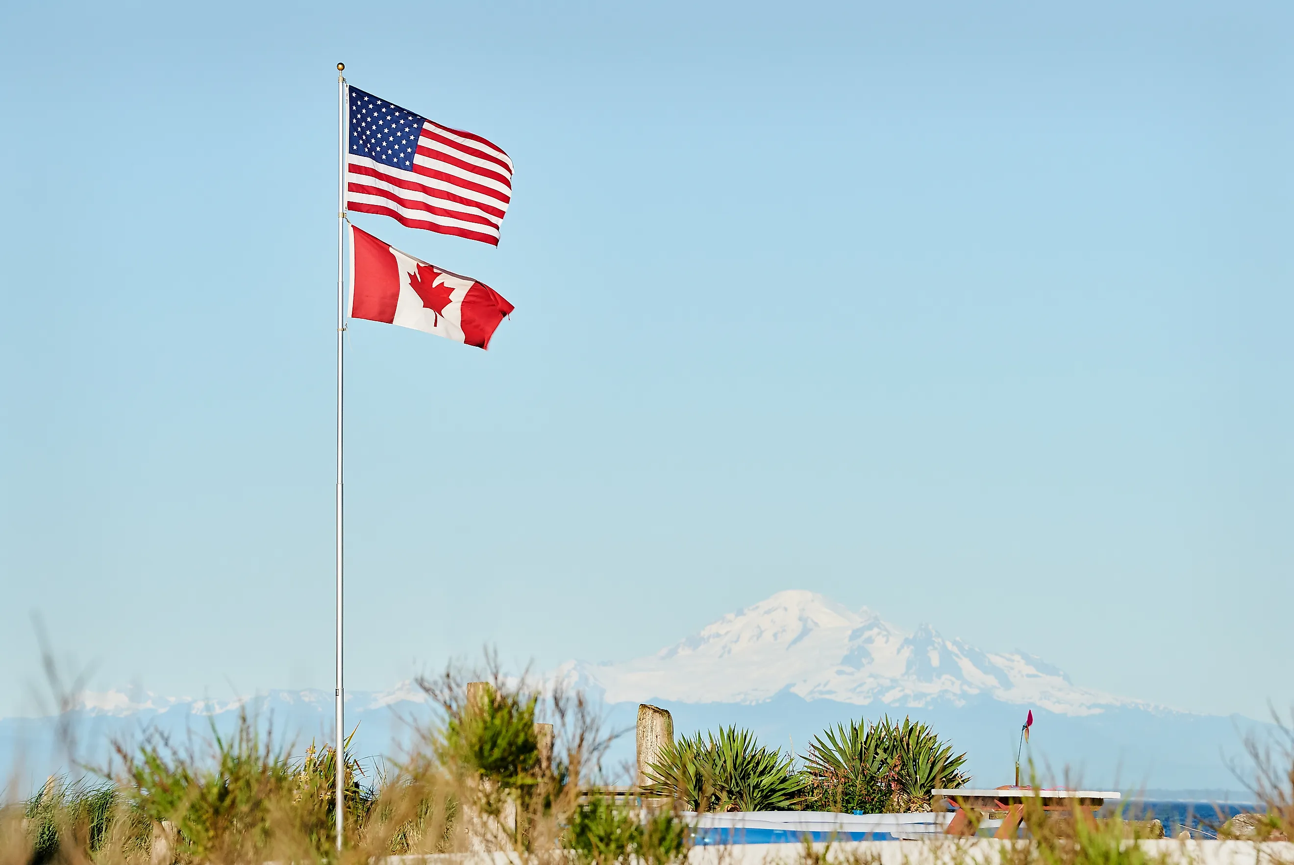
Point Roberts occupies the southern tip of the Tsawwassen Peninsula in Whatcom County. By road, reaching mainland Whatcom County requires entering British Columbia, driving through Canada, and crossing the international border again into Washington. The unusual arrangement dates to the Oregon Treaty of 1846. The United States and Great Britain extended the international boundary westward along the 49th parallel, with an exception that kept Vancouver Island entirely under British control. On the mainland, that straight line sliced through the Tsawwassen Peninsula and left its southern tip in the United States.
Whatcom County describes Point Roberts as a pene-exclave. Its current economic-development material puts the journey between Point Roberts and the rest of the county at about 23 miles through Canada and two international border crossings. A routine county trip can therefore involve both U.S. and Canadian customs.
Lake of the Woods County, Minnesota: Northwest Angle

Minnesota's Northwest Angle contains the northernmost point of the contiguous United States, yet its road network connects to Manitoba rather than directly to the rest of Minnesota. Residents heading toward the main body of Lake of the Woods County must either cross the lake or drive through Canada.
The problem began with eighteenth-century maps. The 1783 Treaty of Paris called for the boundary to reach the northwesternmost point of Lake of the Woods and then continue west toward the Mississippi River. Negotiators did not yet understand the region's geography well enough to know that the Mississippi's headwaters lay well south of the lake. The Convention of 1818 revised the arrangement by running the boundary between the lake's northwestern point and the 49th parallel before continuing west. The result was the peculiar American projection now called the Northwest Angle. Surveyors still had trouble agreeing on the precise northwestern point of the lake. Lake of the Woods County records a boundary commission working there in 1823 and notes that disputes over the exact line continued well into the twentieth century.
Fulton County, Kentucky: Kentucky Bend

Fulton County is one of the clearest examples because the county government itself describes the county as divided into two noncontiguous parts. The detached section, usually known as Kentucky Bend or Madrid Bend, lies inside a sweeping loop of the Mississippi River. Its only land approach comes through Tennessee.
The shape owes more to old boundary surveying than to the dramatic New Madrid earthquakes sometimes associated with the area. Kentucky's southern border was imperfectly surveyed, while the Mississippi supplied the state's western edge. The Kentucky Historical Society records a long disagreement over the Kentucky-Tennessee line that eventually produced an 1858-1859 surveying compromise. The river's large meander left part of Fulton County isolated on the far side of Tennessee's land boundary. There is no Kentucky road linking the bend with the main portion of Fulton County. Drivers enter through Tennessee and must return the same way.
Pottawattamie County, Iowa: Carter Lake

Carter Lake looks as though someone misplaced a piece of Iowa inside Omaha. The incorporated city belongs to Pottawattamie County, but it sits west of the modern Missouri River and is surrounded by the Omaha metropolitan area. Unlike Point Roberts or the Northwest Angle, Carter Lake was created by moving water rather than a treaty. During an ice-jam flood in 1877, the Missouri abruptly abandoned one channel and cut another. Land that had stood on the Iowa side suddenly found itself on the Nebraska side of the river.
In Nebraska v. Iowa, the U.S. Supreme Court concluded that an abrupt change, known as an avulsion, did not automatically move the interstate boundary with the river. The old channel continued to define the state line, leaving the stranded land in Iowa. Carter Lake incorporated as an Iowa municipality in 1930. The city identifies itself as the only Iowa city west of the Missouri River, even though its street network ties directly into Omaha rather than Council Bluffs and the rest of Iowa.
Monroe County, Michigan: Lost Peninsula

The Lost Peninsula belongs to Monroe County, Michigan, but its only land connection is to Ohio. A federal court described the geography plainly in litigation involving the Lost Peninsula Marina: the peninsula is Michigan territory, its base is attached to Ohio, and a resident must travel through Ohio to reach another part of Michigan.
Its strange position traces back to the Toledo War, the nineteenth-century boundary dispute between Ohio and Michigan Territory. Early maps placed the southern end of Lake Michigan incorrectly, producing competing interpretations of where the Ohio-Michigan boundary should meet Lake Erie. Ohio claimed the valuable Toledo area, while Michigan Territory asserted jurisdiction over the same strip. Congress ultimately placed the Toledo Strip in Ohio as Michigan moved toward statehood, while Michigan gained much of what is now its Upper Peninsula. Along Maumee Bay, the resulting line left a small piece of Michigan on a peninsula whose landward base belonged to Ohio. Today, anyone driving out of Lost Peninsula toward Monroe or Detroit crosses Ohio before returning to Michigan.
Why Virginia's Eastern Shore Is Different

Accomack and Northampton counties can look like whole-county exclaves on a road map. Both occupy Virginia's portion of the Delmarva Peninsula, while Maryland lies immediately to their north and Chesapeake Bay separates them from the state's main landmass. They differ from the examples above because Virginia has a direct road connection across its own waters. The Chesapeake Bay Bridge-Tunnel opened in 1964 and connects Northampton County with Virginia Beach along U.S. Route 13. Before its construction, ferries served the crossing. That makes the Eastern Shore geographically detached by land, but not a convincing modern road exclave.
Borders That Outlived The Geography
These odd pockets show what happens when a legal boundary survives the assumptions that created it. Treaty negotiators drew lines through poorly mapped wilderness. Surveyors fixed borders that later proved awkward on the ground. Rivers jumped their channels while courts kept the old boundary in place. The result can make a simple county trip unexpectedly complicated. Point Roberts and the Northwest Angle require international border crossings. Lost Peninsula depends on Ohio roads. Kentucky Bend can be entered only through Tennessee. Carter Lake remains Iowa even though the Missouri River now places it beside Omaha. In each case, the line on the map won.