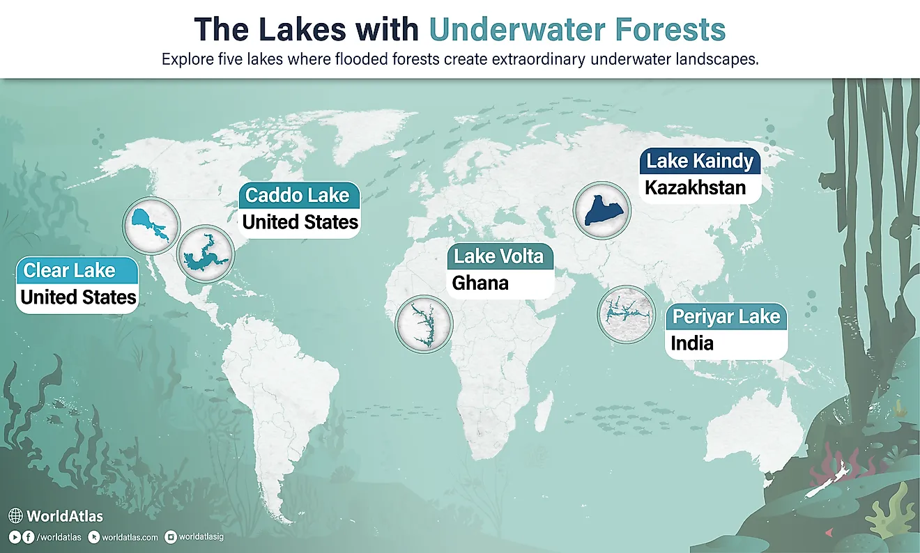
The 4 Most Dangerous Bodies Of Water In Louisiana
Louisiana is a low-lying coastal state where the Mississippi River runs past Baton Rouge and New Orleans, funneling immense freshwater discharge into the Gulf of Mexico. The state’s relationship with water unfolds as a habitat carved and held together by its rivers, lakes, and basins: the Mississippi presses a powerful current through levees and ports, the Gulf of Mexico breathes into estuaries and bays, and bayous wind among cypress knees and marsh. Where moving water, weather, wildlife, and industry meet, hazards concentrate; swift currents, concealed snags, industrial contamination, and sudden storms shape everyday conditions along shorelines and channels. These specific Louisiana features (found in Lower Mississippi commerce, Pontchartrain’s wide-open water and causeway, the Atchafalaya’s bayou maze, and Lake Charles’ industrial estuary) shape the particular risks found in the state’s waters.
Mississippi River

The Mississippi River is the continent’s great highway, and in Louisiana, it combines a massive discharge, deep navigation channels, and heavy commercial traffic in ways that create persistent danger. Strong currents and eddies develop as the river squeezes through bends and past levees, and the flow speed can spike during high-water seasons; mariners and recreational boaters alike face outdrafts and turbulent water near the channel and bridge piers. Large freighters and towing units operate on tight schedules and limited maneuvering room, and collisions or groundings can cause sudden hazards for smaller craft. Near New Orleans, the river’s navigation depth and shipping traffic produce wakes and turbulence that can swamp small boats or pull swimmers under. Rapidly changing river stages also expose steep, slippery banks and submerged debris, increasing risk to anyone attempting entry from shore.
Authorities routinely issue advisories for transits and impose restrictions during extreme stages, and federal navigation notices underline the need to plan trips around river conditions and commercial traffic. The combination of speed, size, and constant use makes the Mississippi River in Louisiana one of the state’s most hazardous waterways for water users who fail to prepare.
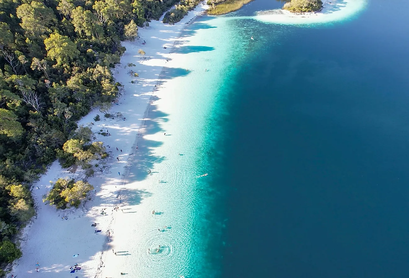
Lake Pontchartrain

Lake Pontchartrain is a broad, shallow estuarine lake north of New Orleans that tests small-boat handling, causes perilous bridge hazards, and can create unexpected exposure to storms. The lake responds quickly to Gulf wind and surge, and squalls or passing cold fronts can throw up steep chop, strong wind-driven currents, and sudden high waves that overwhelm small craft. In severe weather or dense fog, the Lake Pontchartrain Causeway can also be hazardous for motorists, while boaters face separate risks from low visibility and rapidly building chop on open water. Recreational boating and fishing are popular, which increases the frequency of incidents during weekends and holidays when conditions turn. Visibility problems, nighttime navigation without proper lights, and inattentive operation near channel markers all contribute to accidents.
Emergency responders emphasize life jacket use, weather checks, and conservative margins for error because even experienced local boaters can be surprised by a sudden blow or mechanical failure on the wide water. Recent high-profile boat incidents and multi-vehicle bridge crashes underscore the rapid escalation of conditions across the lake and its crossings.
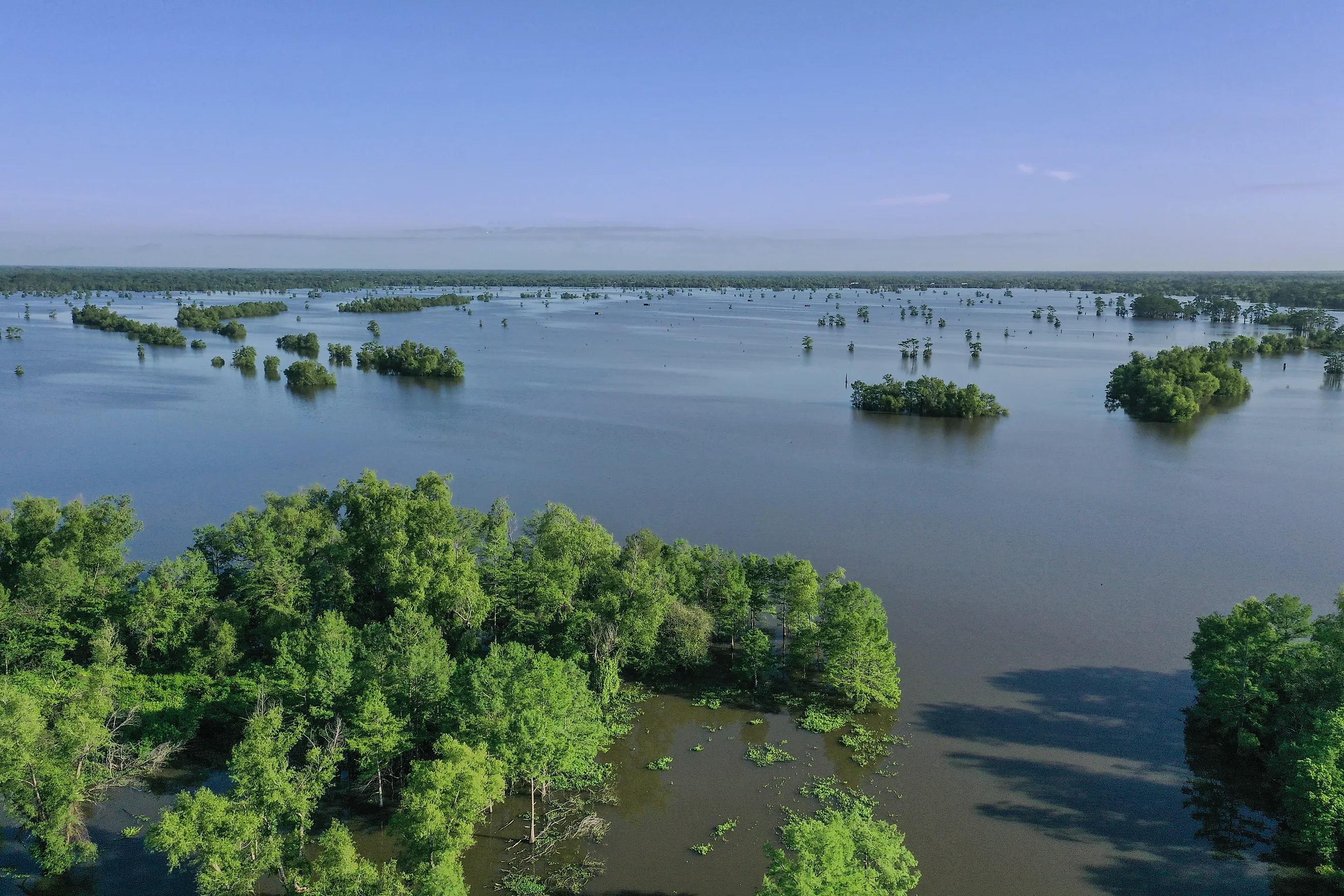
Atchafalaya Basin and Atchafalaya River

The Atchafalaya Basin and its principal channel, the Atchafalaya River, form North America’s largest river swamp, where shifting channels, hidden drop-offs, dense vegetation, and wildlife all combine into a complex and often unforgiving environment. Waterways in the basin can be deceptively deep or shallow without visual cues, and low-visibility water hides snags, logs, and submerged trees that can rip out propellers or capsize vessels. The basin’s ecology supports an abundance of alligators and other potentially hazardous wildlife, and human-wildlife encounters frequently occur near boat landings and shallow fishing spots. Flood pulses and sediment redistribution change channel courses over time, making charts and local memory less reliable; seasonal floods can isolate camps and maroon boats, while sudden winds push floating debris into navigation lanes.
Search and rescue operations in the basin are often challenging due to the mud, marshes, and maze-like waterways, resulting in longer response times compared to open water. Restoration and management efforts aim to strike a balance between flood control and habitat protection, but they also underscore the importance of respecting human engineering and natural dynamics, as well as the value of local knowledge and caution, in ensuring safety.
Calcasieu River and Calcasieu Ship Channel

The Calcasieu River and the adjacent Calcasieu Ship Channel, serving Lake Charles and the industrial Gulf ports of southwest Louisiana, present hazards that combine powerful commercial traffic, pollution legacy, and complex tidal exchange. Heavy tankers, barges, and tug operations concentrate risk for smaller recreational boats when turning basins and narrow channels intersect with busy schedules. Decades of industrial use have left contamination and legacy hazardous-waste concerns in parts of the estuary, and remedial investigations have documented elevated pollutant levels that affect water quality and fishery health. Pollution concerns complicate rescue and recovery operations and, in some cases, lead to advisories or restricted consumption of local seafood. Recent industrial expansions and terminal activity have increased traffic and environmental scrutiny, intensifying debate about long-term ecological and human-health impacts.
Boaters should be alert to restricted zones, channel markers, and nighttime operations, and anglers should consult local advisories before consuming their catches. Industrial estuaries require both navigation discipline and attention to posted environmental guidelines, as the combined hazards extend beyond waves and wakes to include contamination and infrastructure risks.
Respect Louisiana’s Waters Today
Louisiana’s waters offer immense rewards: transport, fisheries, and unforgettable landscapes. However, the state’s bodies of water also require preparation and respect. When navigating its most dangerous waters, simple precautions reduce risk: check forecasts and tide or river-stage reports, wear life jackets, avoid narrow channels when large commercial traffic is present, learn local hazards before venturing out, and follow posted health advisories about fish consumption or water-contact closures. When storms threaten, choose land over water, and remember that rapid changes in current, visibility, or wind frequently turn benign conditions into emergency situations. For visitors and residents alike, the best approach is one of humility paired with practical planning: be prepared to adjust plans, and carry safety gear suitable for the location and season. Louisiana’s rivers, lakes, bays, and estuaries remain vital and fascinating, but they are safest when approached with knowledge and caution.