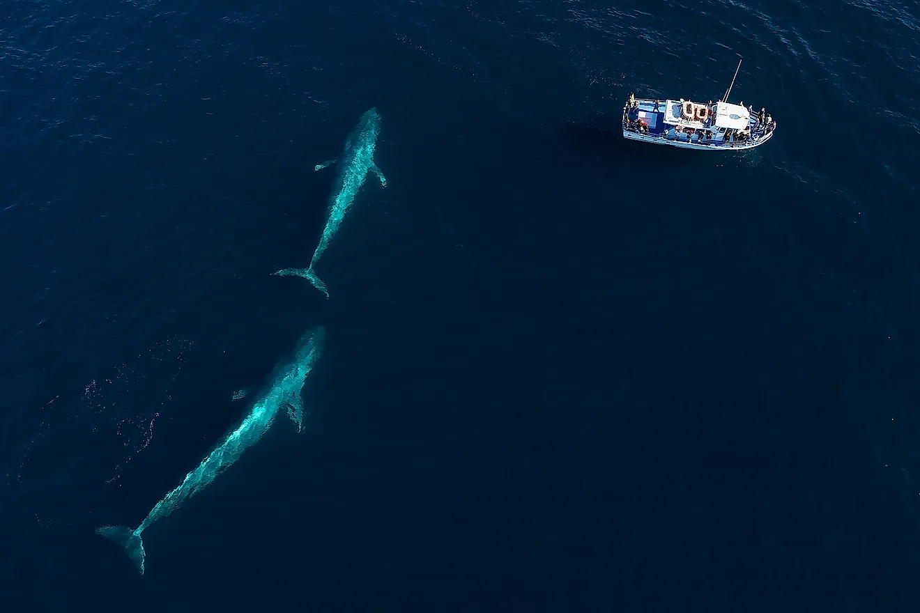
Atchafalaya Bay
A bay is a partially enclosed coastal body of water that connects to a larger body of water, such as a lake, gulf, sea, or ocean. The Atchafalaya Bay in southern Louisiana sits at the delta of the Atchafalaya River, a tributary of the mighty Mississippi River, and connects to the Gulf of Mexico. It is part of the Atchafalaya Basin, which includes the bay, the river, and the Atchafalaya Swamp. Like the rest of the Louisiana coastline, the shape of the Atchafalaya Basin (including the bay) constantly changes due to the impacts of river sediment, sea level change, and hurricanes. Unlike most of the coastline, though, the basin has added rather than lost land in recent decades.
Location Of Atchafalaya Bay

Atchafalaya Bay is approximately 21 miles long, bordered on the west by Marsh Island and East Cote Blanche Bay and on the east by Halter's Island, Four League Bay, and Point au Fer Island. The bay is about 10 miles wide, running between the delta of the Atchafalaya River and the Gulf of Mexico. Atchafalaya Bay is centrally located along the southern coast of Louisiana, about 90 miles from New Orleans.
The Climate Of Atchafalaya Bay
The entire state of Louisiana has a subtropical climate, with hot, humid summers and mild winters. However, temperature extremes are somewhat more moderate in areas along the coast, such as Atchafalaya Bay, due to the adjacent Gulf of Mexico. The region frequently receives heavy rainfall and is subject to tropical storms and hurricanes. The main hurricane season runs from June to November. Atchafalaya Bay is surrounded by a constantly shifting marshland, including the Atchafalaya Swamp.
Fish And Wildlife Of Atchafalaya Bay

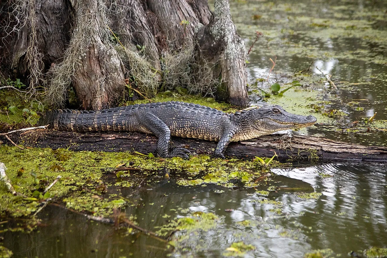
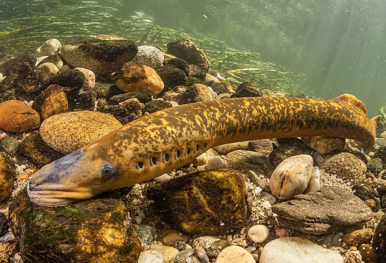
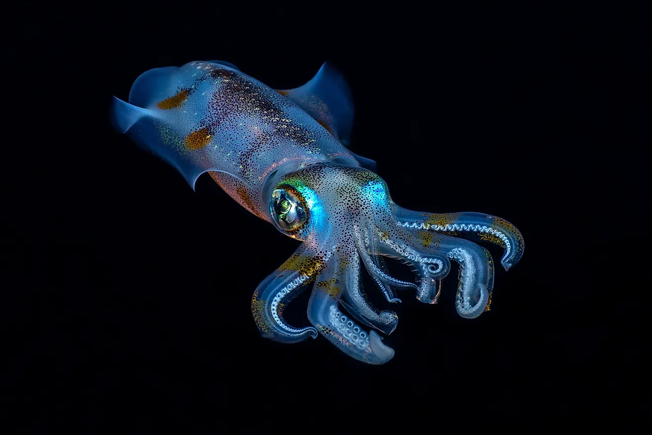
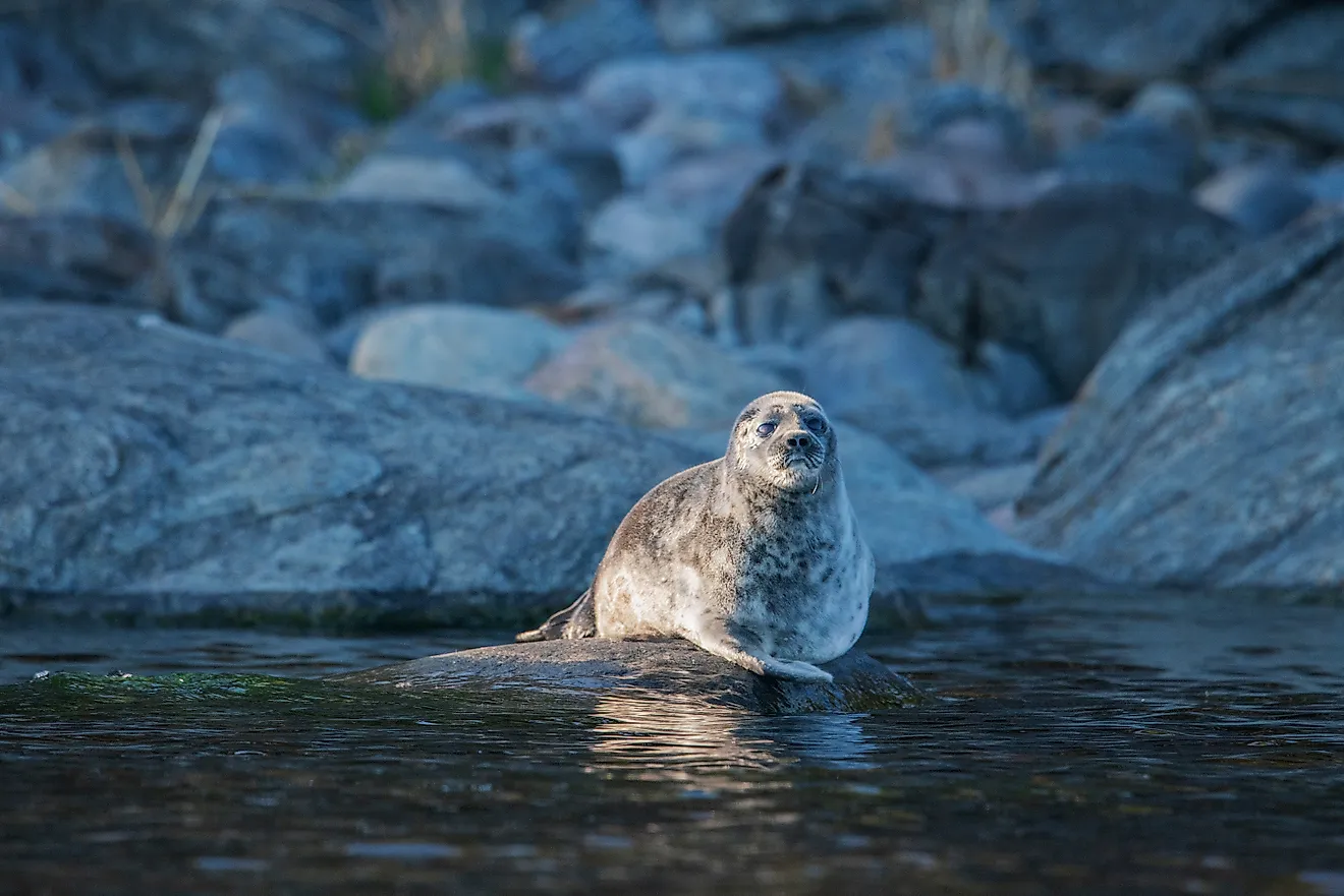
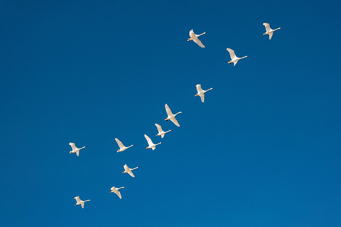
The Atchafalaya Bay is home to more than 100 species of fish and other aquatic life, including crawfish (of which over 22 million pounds are harvested annually). Including the larger Atchafalaya Basin, the area includes over 65 species of amphibians and reptiles (including a large alligator population), 250 bird species, and mammals such as otters, beavers, foxes, muskrats, raccoons, and black bears. The basin houses the south-central United States' largest concentration of bald eagles in North America's largest contiguous bottomland (swampland) hardwood forest. This species diversity is protected by the Atchafalaya National Wildlife Refuge, which covers about 15,000 acres and was established in 1984.
Islands Of Atchafalaya Bay
Because its coastal landscape is always changing due to river discharge, hurricanes, and other factors, islands frequently come and go in Atchafalaya Bay. Marsh Island currently borders the bay on the west and Halter's Island and Point au Fer Island on the east. Several islands, such as Eugene Island, appear and disappear near the middle of the bay, depending on the water level. At the Atchafalaya River delta, silt deposits create, combine, separate, and move dozens of islands, such as Big Island, Mile Island, Willow Island, and Horseshoe Island.
History Of Atchafalaya Bay

The Mississippi River has changed course through what is now Louisiana numerous times over thousands of years. Sometime in the 1500s, the Atchafalaya River became a tributary of the mighty Mississippi. Water and sediment flow generally increased in subsequent centuries to the point that, in 1973, the Atchafalaya Delta first formed at the river's entry point into Atchafalaya Bay. If not for human interventions to direct much of the Mississippi River's flow towards New Orleans, the Atchafalaya would likely be the main channel for the Mississippi by this point. Even so, increased sediment flow means that the delta has consistently added land in recent decades, unlike nearly every other part of the Louisiana coast.
Inhabitants Of Atchafalaya Bay
The name Atchafalaya means "long river" in one of the local Native American languages, and Native peoples have lived in the Atchafalaya Basin for at least 2,500 years and possibly for as long as 6,000 years. The Chitimacha people lived in the area in the early 1700s when French traders first arrived, followed in waves by Acadian (or "Cajuns," from French Canada), African, Caribbean, Spanish, English, and American settlers. The Atchafalaya Basin is sparsely inhabited due to frequent flooding and regional economic challenges but remains home to one of the most culturally diverse and unique populations to be found anywhere in the United States. In 2006, the Atchafalaya National Heritage Area was established by the federal government to protect the region's distinctive culture and ecology.
Atchafalaya Bay, along with the larger Atchafalaya Basin, is a place of constant change, with the marshes and islands seemingly always on the move. At the same time, though, there is a sense of timelessness to the hardwood forests, abundant wildlife, and culturally unique inhabitants of the region. It is a place deserving of protection to preserve these timeless qualities, yet also of a hands-off approach to allow nature to take its course and change Atchafalaya Bay time and time again.