Baffin Bay
Baffin Bay is an arm of the North Atlantic Ocean and one of the most substantial bodies of water in the Arctic. Pinched between Canada's Baffin Island and the West coast of Greenland, Baffin Bay is largely covered by ice for much of the year. However, a large polynya, known as the North Water, defies the odds, creating a biological oasis for everything from algae to fish to large mammals. This area has a surprisingly long and eclectic history of human activity, is currently inhabited by several small Inuit communities, and generates commercial interest in fishing and hydrocarbon extraction.
Geography Of Baffin Bay

To the South, Baffin Bay connects to the Labrador Sea and onwards to the North Atlantic Ocean via the Davis Strait. To the North, the territory of Nunavut's Ellesmere Island marks the entry into the Nares Strait, which links up with the Arctic Ocean. Jones Sound and Lancaster Sound, two Western offshoots of the Bay also lead to the Arctic Ocean. Below these sounds, Nunavut's Baffin Island draws a firm Western terrestrial boundary, as does the long Western shore of Greenland over on the East side.
Within these general parameters, Baffin Bay stakes out a total area of approximately 266,000 square miles (689,000 square kilometers). The Bay's width ranges between 70 to 400 miles (110 to 650 kilometers), and it stretches for about 900 miles (1,450 kilometers) in length. Its depth mostly ranges from 800 to 2,300 feet (240 to 700 meters), although an eroded, centralized pit known as the Baffin Hollow, or the Baffin Basin, drops to a considerable maximum depth of 7,008 feet (2,136 meters).
Climate Of Baffin Bay

Given its position North of the Arctic Circle, it will come as no surprise that the average climate is harsh and frigid, with winter conditions being particularly extreme. In January, for instance, the average shoreline temperature near the Bay's South side is -4 degrees Fahrenheit (-20 Celsius), while the North end experiences an average of -18 degrees Fahrenheit (-28 Celcius). But it is not just the mercury rating that makes things nearly inhospitable during this time. Winds coming off of Baffin Island and Greenland pack an awful bite and stir up frequent storms. By July, shoreline temperatures rise to an average of 45 degrees Fahrenheit (7 Celcius). The annual precipitation on the Greenland side ranges from 4 to 10 inches (100 to 250 millimeters), while the Baffin Island side can see double that.
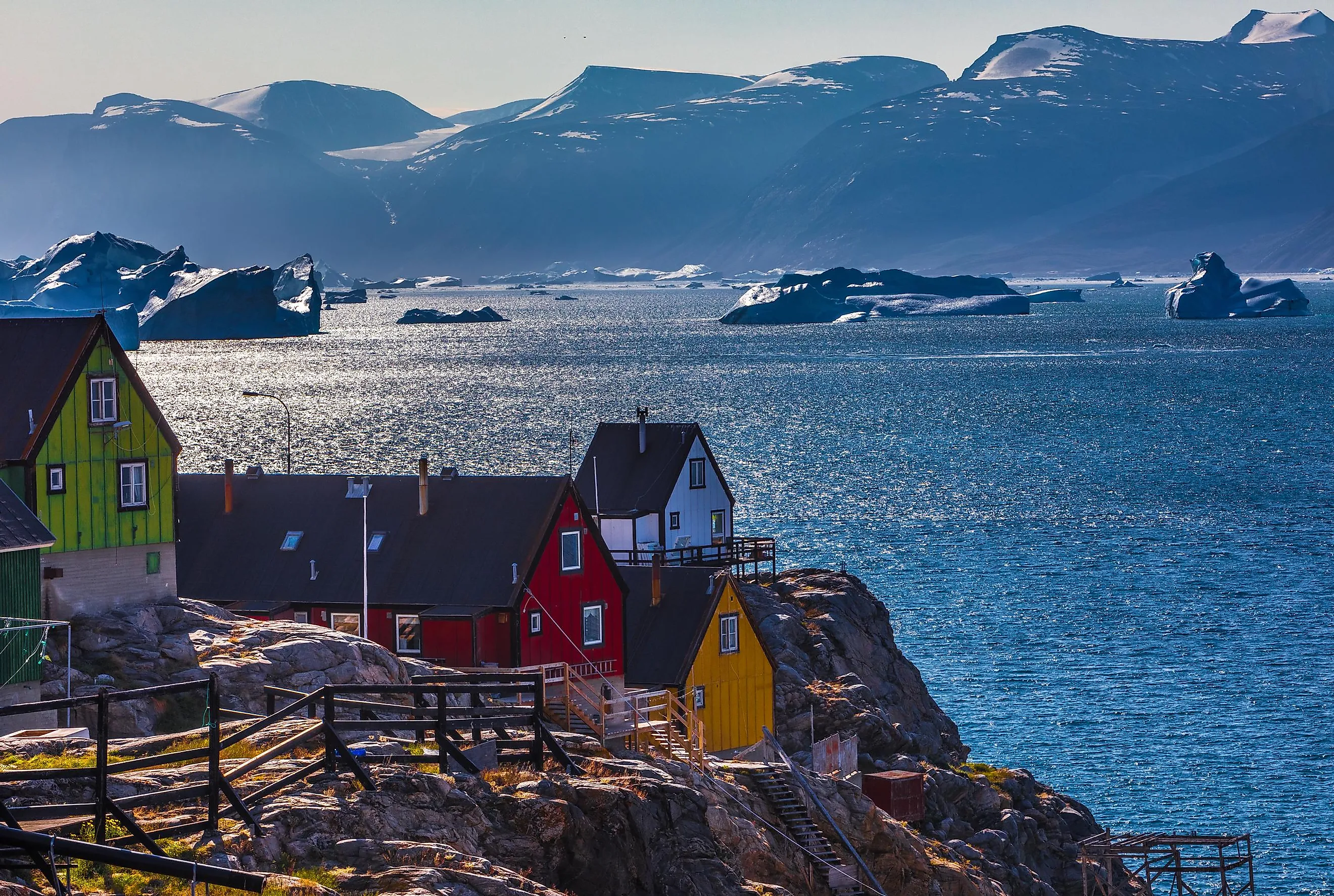
The average water surface temperature ranges between 30 degrees Fahrenheit (-1 Celcius) in the winter and, depending on the exact region, between 32 to 41 degrees Fahrenheit (0 to 5 Celsius) in the summer. During the colder spells, around 80% of the Bay is covered in one form of ice or the other (i.e., continuous, floating, fast). August is when the waters are the freest of ice (though consequently, most rich in icebergs). Tremendous strings of floating ice are funneled down the Davis Strait, sometimes as early as Spring, often later in the summer, and can be seen off the coast of the province of Newfoundland. In fact, one such behemoth was responsible for the sinking of the Titanic in April 1912. Because of the variable melting patterns, the salinity of the Bay's waters also changes throughout the year.
Flora And Fauna In And Around Baffin Bay

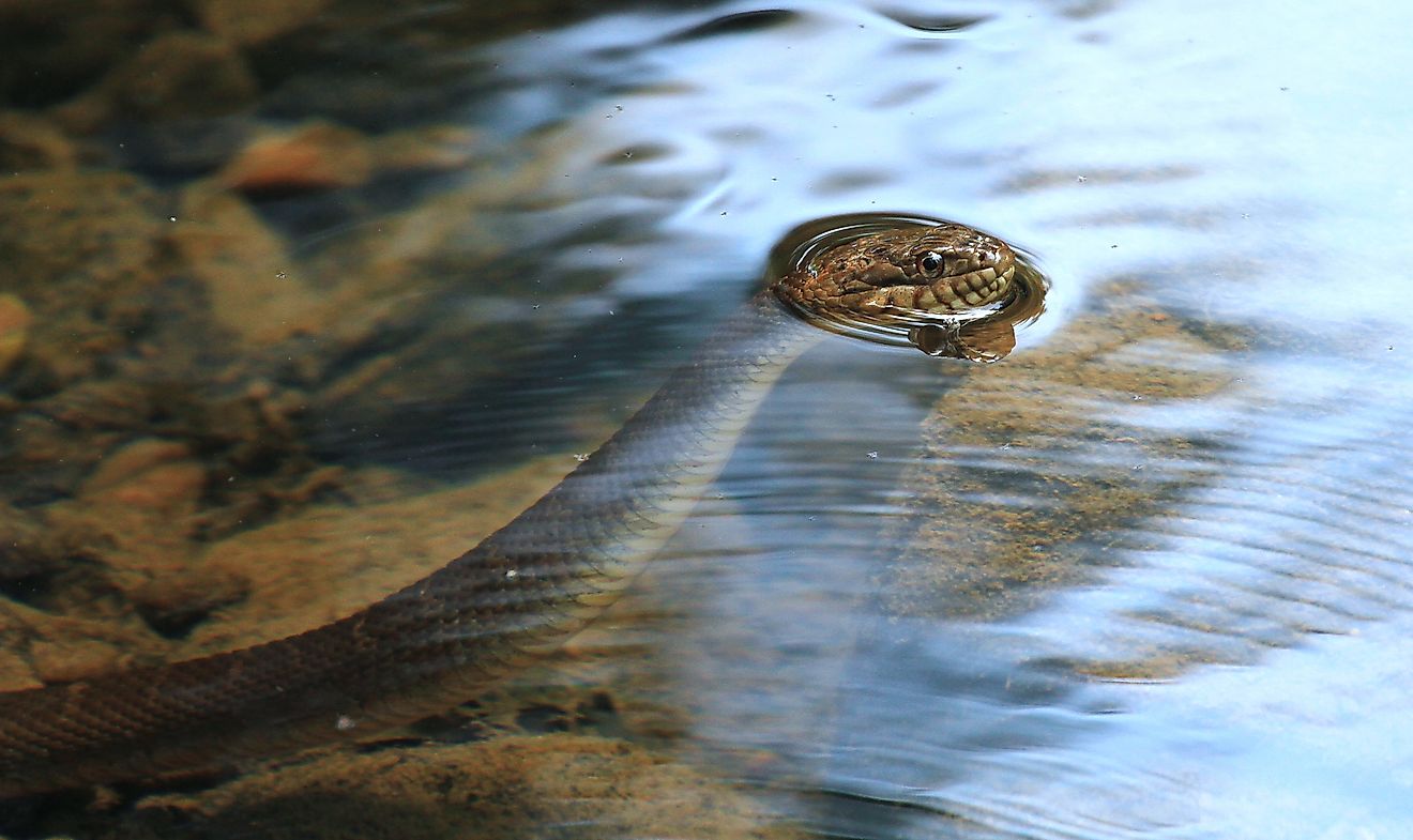
Despite the challenges of the climate to modern humans, an impressive range of wildlife has adapted to this seemingly hostile environment – particularly the 31,000 square miles (80,000 sq km) pocket of open water that the Greenland Current prematurely warms. Deemed the North Water, this area covers Smith Sound, which spans between Ellesmere Island and the Northwest prominence of Greenland, heading into the Nares Strait. This phenomenon, combined with moderate salinity, allows a robust food chain to thrive in the spring/summer. Ice algae and zooplankton attract small invertebrates, which lure many species of fish and birds, as well as walruses, dolphins, and whales. In fact, an estimated 20,000 beluga whales live in the Baffin Bay, 15,000 of which are grouped in the North Water. About 400 saltwater-adapted plant, grass, and tree species can be found along the shores of Baffin Bay. As a result, caribou roam these regions. And, of course, the "King of the Arctic," the iconic polar bear, patrols the ice.
History Of The Baffin Bay

Evidence showing the presence of humans in the Baffin Bay region dates back to 500 BC and is attributed to the Paleo-Eskimo people known as the Dorset. Then, in the 12th and 13th centuries, the proto-Inuit people, known as the Thule, moved Eastward from Alaska, becoming the primary settlers on Baffin Island and the ancestors of the modern-day shoreline population. In between these Indigenous eras, Vikings arrived in Greenland in AD 985 and proceeded to establish temporary hunting settlements on Northern Newfoundland and possibly Baffin Island by the end of the century. They remained at least in Greenland for nearly 400 years, hunting walruses and seals.
The first modern European explorers reached the vicinity of Baffin Bay in the late 1500s in search of the famed Northwest Passage, intending to link the Atlantic and Pacific Oceans. Englishman, John Davis, is recorded to have entered the Bay in 1585, though it was not thoroughly explored or named at this time. In 1615 the Discovery (the same ship Henry Hudson sailed on his expedition five years prior) accomplished these tasks. Though Robert Bylot is commonly credited with the raw discovery, the Bay and the adjacent island are named after navigator and chief pilot William Baffin, who meticulously scoured and detailed the region the following year – though he was unable to find an ice-free passage to the North. Despite the repeated arrival to the massive Arctic bay by multiple cultures over the years, skepticism persisted back in Europe. The expedition to definitively confirm its presence (and get it included on maps) did not unfold until 1818.
The epicenter of an inconsequential but notable earthquake (7.3 magnitude) hit Baffin Bay in 1933. This is the largest known earthquake to strike North of the Arctic Circle. Since then, five more have struck with magnitudes six or greater.
Nowadays, a few small, predominantly Inuit communities are settled on the Baffin Island banks of Baffin Bay. On the East side of the Bay, there are many more small communities situated on the islands that dot the long Western coast.
Economic Opportunities Around Baffin Bay

Local Inuit communities maintain some fishing operations and traditional hunting practices, though nothing is done at a large scale in the Northern reaches of Baffin Bay due the continued inaccessibility of the ice-covered waters. The local populations are supported by micro ports that manage the delivery of food and other vital supplies up the coastline.
In 1975, the lead and zinc-producing Nanisivik Mine became the first Canadian mine in the Arctic. It remained in operation until 2002. According to the United States Geological Survey, over 13% of the world's undiscovered oil deposits and 30% of the world's hidden gas pockets should be located in the Arctic. Greenland has therefore licensed hydrocarbon extraction projects in Baffin Bay and the Davis Strait. Canada has not yet followed suit, electing to pause developments until the impacts can be properly understood.

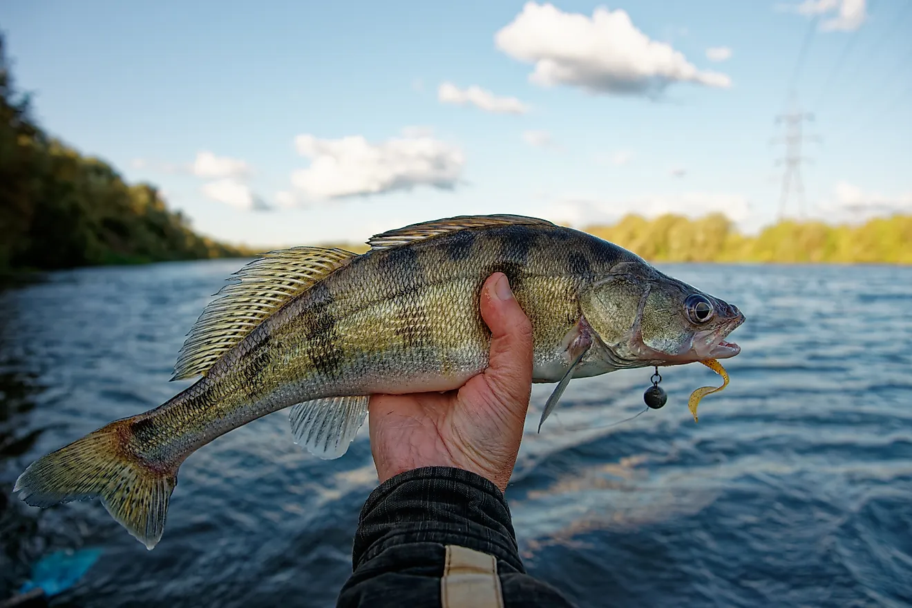
In the mid-1800s, whaling stations cropped up along Baffin Islands Southwestern shore, near the more navigable Davis Strait. By 1900, the Bay's whale population had been greatly depleted. More substantial, non-whale commercial fishing operations developed after World War II, and were spearheaded by the Soviets, Poland, and East Germany. This venture began to peter out in the 1970s. At the same time, Canadian fishing companies honed in on the shrimp trawling potentials of the waters of Southern Baffin Bay. This was expanded in the 1990s when the cod stocks of Atlantic Canada severely declined. The practice of bottom trawling (for both shrimp and the Greenland halibut) in this region is Canada's only industrial Arctic fishing operation. The catches are shared domestically between the federal government, the local governments of Nunavut, and, more recently, Baffin Bay's Inuit-owned companies are vying to be included. Some of the bounties are also designated for Greenland.
The ostensibly frozen wasteland between Northeastern Canada and Western Greenland is actually a place of wild beauty, overlapping histories, and important biodiversity. Baffin Bay is not a place that many people get to see in their lifetimes, but there are communities who have been making a go at it along its shores for thousands of years. There may be more to the story going forward as the hunt for resources and the desire to protect this fringe environment both vie for priority.