Maps of Nunavut
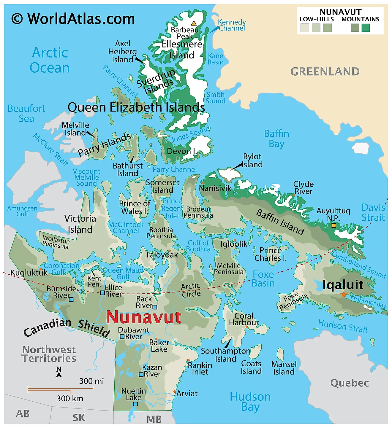
Nunavut, Canada's largest and northernmost territory, occupies an expansive area of 808,185 square miles. Nunavut shares borders with the Northwest Territories to the west, Manitoba to the south, and Quebec to the east. Additionally, the territory has a vast maritime boundary, as it lies adjacent to the Arctic Ocean, the Labrador Sea, and Hudson Bay. This extensive coastline contributes to Nunavut's international trade and resource management significance.
This vast territory stretches across a diverse landscape, encompassing three main geographical regions: the Arctic Archipelago, the mainland, and the Arctic Coastal Plain.
The Arctic Archipelago, a collection of over 36,000 islands, dominates the northern part of Nunavut. Notable islands include Baffin Island, Ellesmere Island, and Victoria Island, which rank among the world's largest. Baffin Island, in particular, serves as Nunavut's primary landmass, housing the capital city of Iqaluit. Baffin Island is the world’s 5th largest island and Canada’s largest island. Vast areas of the island are covered by snow and ice throughout the year. The northern coastline of Baffin Island is highly indented and the land slopes in the southern and western parts to form plateaus and lowlands. Several freshwater lakes and rivers are found on Baffin Island.
The mainland region of Nunavut encompasses the eastern portion of the Canadian Shield, a massive geological formation composed of ancient rock. This region features expansive tundra, rolling hills, and numerous lakes and rivers, such as the Thelon River, the territory's longest. The Canadian Shield's rocky surface and thin layer of soil support sparse vegetation and limited biodiversity, making it a harsh environment for flora and fauna.
Nunavut's Arctic Coastal Plain extends along the territory's northern coast, bordered by the Arctic Ocean. This low-lying, relatively flat region consists of marshes, wetlands, and shallow lakes, providing a unique habitat for migratory birds and other wildlife. The Arctic Coastal Plain also boasts an extensive coastline, which includes the famous Northwest Passage – a sea route connecting the Atlantic and Pacific Oceans.
Provinces Map
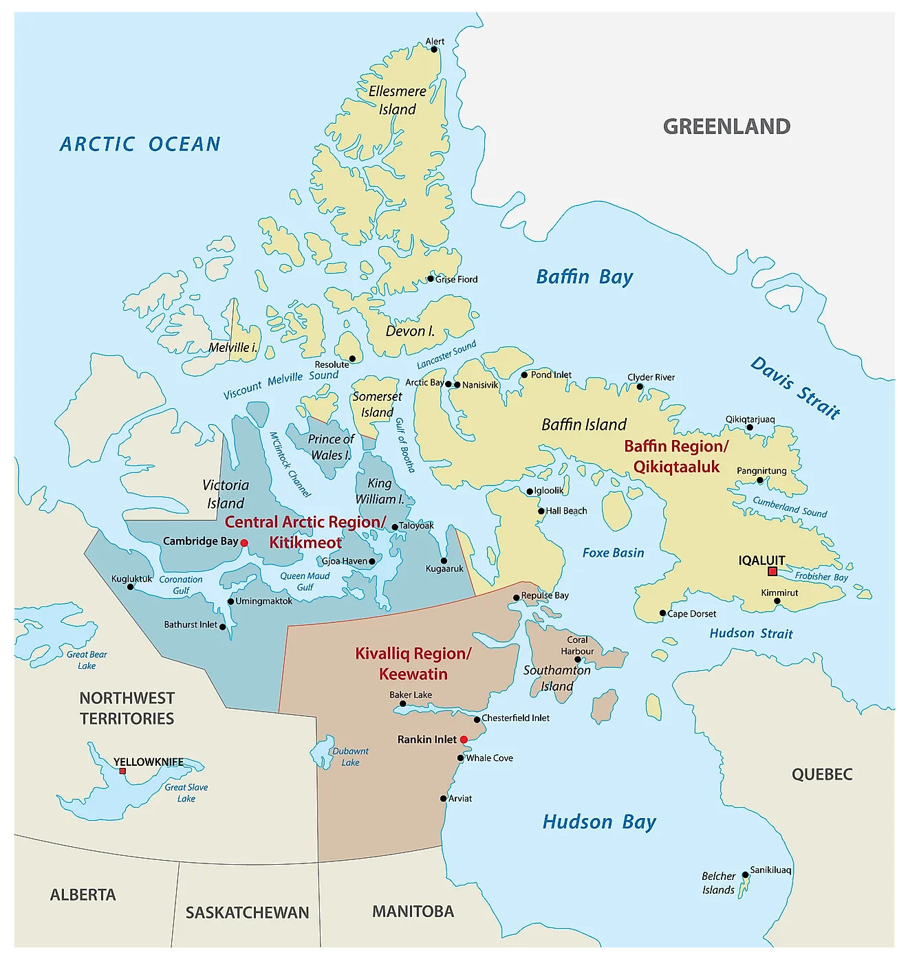
Nunavut is a Canadian territory that is administratively divided into 3 regions. In alphabetical order, these regions are Kitikmeot Region, Kivalliq Region, and Qikiqtaaluk (Baffin) Region. In 2003, the Government of Nunavut created a total of 25 municipalities (24 hamlets and 1 city).
With a total area of 2,038,722 sq. km, Nunavut is the largest and the northernmost Canadian territory. Located at the mouth of the Frobisher Bay, on the southeastern part of the Baffin Island is Iqaluit – the territorial capital, the largest community, and the only city of Nunavut.
Where is Nunavut?
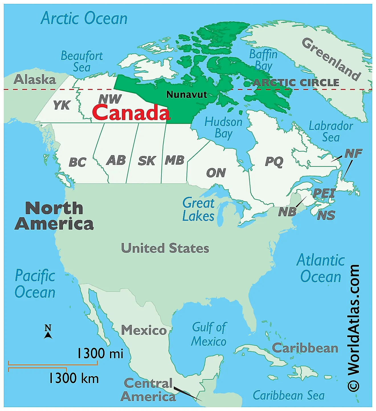
Nunavut is a Canadian territory located in the northern part of Canada, in the Continent of North America. It is geographically positioned in the Northern and Western hemispheres of the Earth. About half of Nunavut’s landmass is situated above the Arctic Circle. Nunavut is bordered by the Canadian province of Manitoba in the south and the Northwest Territories in the west and southwest. It is separated from Greenland in the east by the Baffin Bay and the Davis Strait. The northeastern part of the Hudson Bay and the Hudson Strait separate Nunavut from the Canadian Province of Quebec in the southeast. It is surrounded by the Arctic Ocean in the north.
Regional Maps: Map of North America
Outline Map of Nunavut
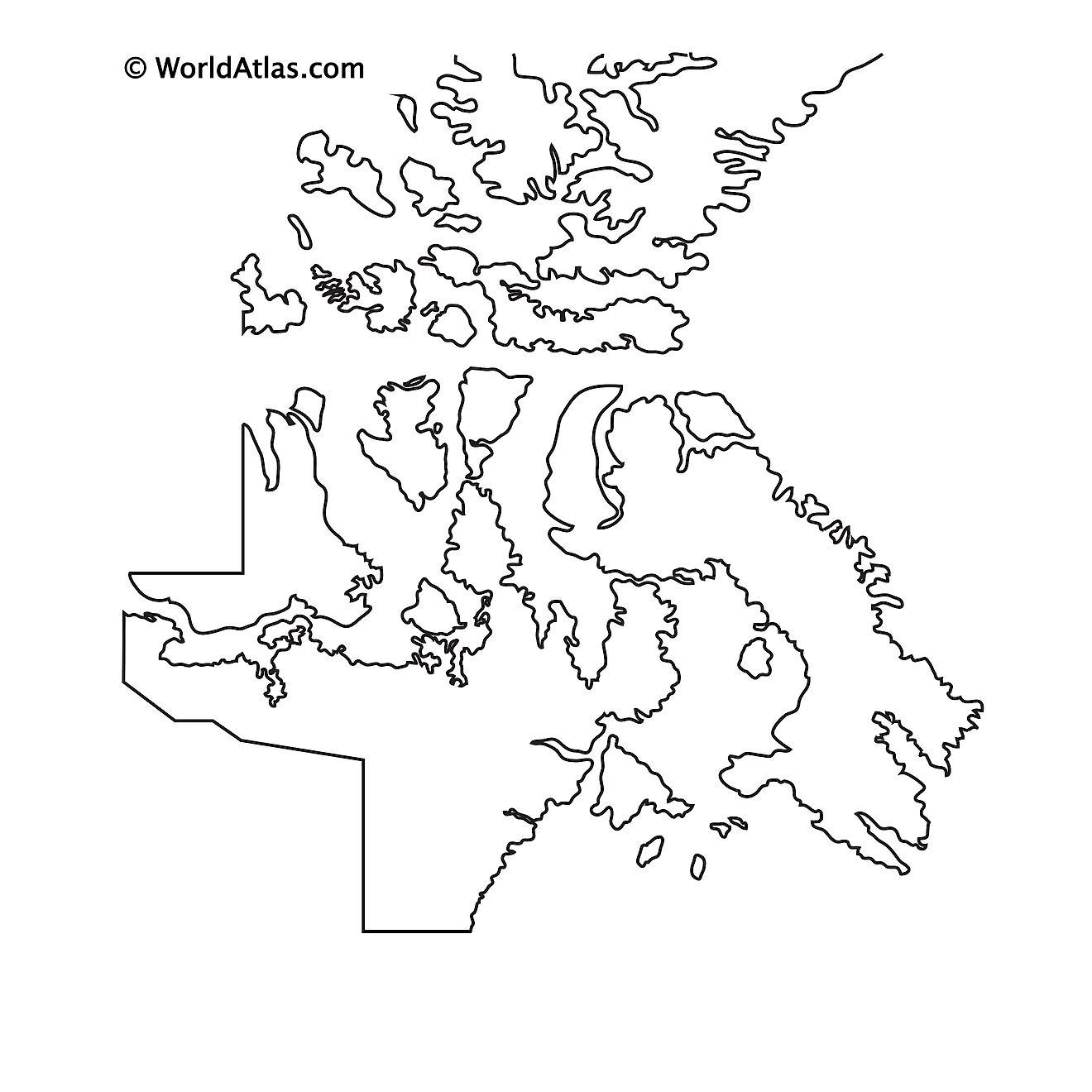
The above blank map represents Nunavut, a Canadian territory located in the northern part of Canada. The above map can be downloaded, printed, and used for geography education purposes like map-pointing and coloring activities.
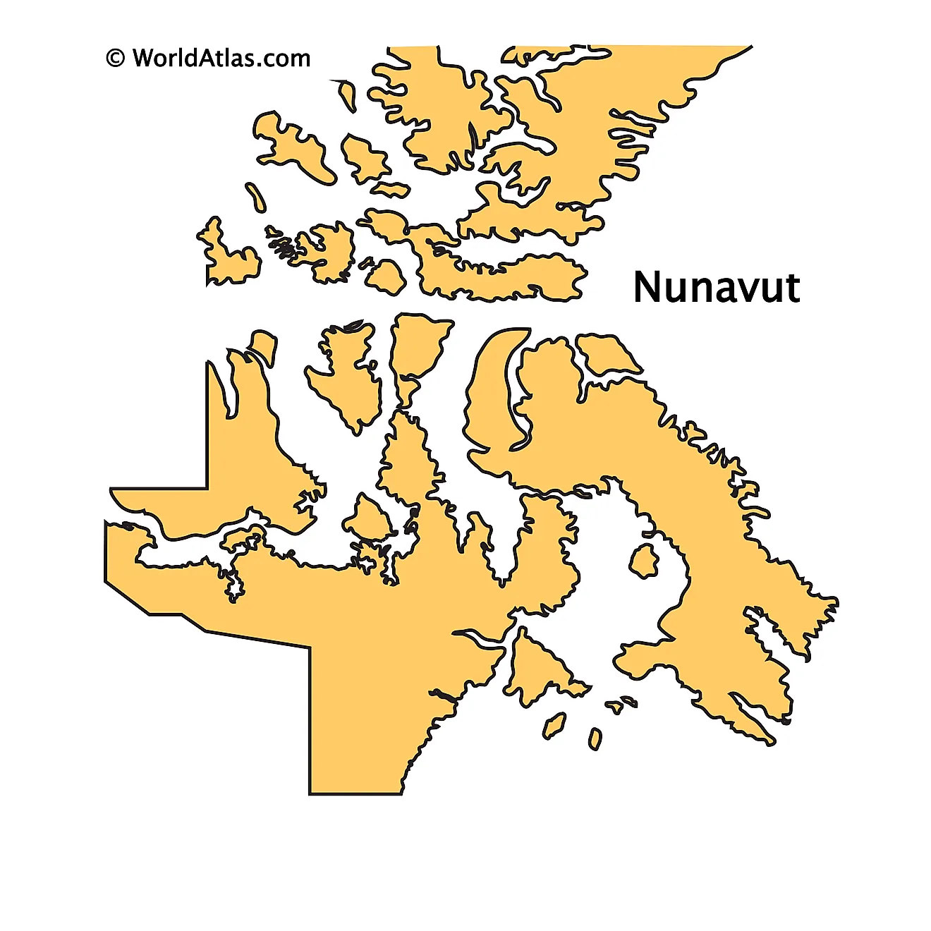
The above outline map represents Nunavut, a Canadian territory located in the northern part of Canada.
Key Facts
| Legal Name | Province of Nunavut |
|---|---|
| ISO 3166 Code | CA-nuz |
| Capital City | Iqaluit |
This page was last updated on March 27, 2023
