East Germany
East Germany is a former communist state established in 1945 that was reunited with West Germany in 1990. This separation was a natural result of occupation following Germany's key role in inciting World War II. Britain and France particularly held personal stakes in deciding Germany's future after suffering costly invasions. An agreement between them, the United States, and Soviet Russia led to Germany being split into four separately-governed sections. Besides East Germany, Russia also maintained control over Romania, Hungary, and Poland; each of which became iconic reminders of the Cold War.
Location
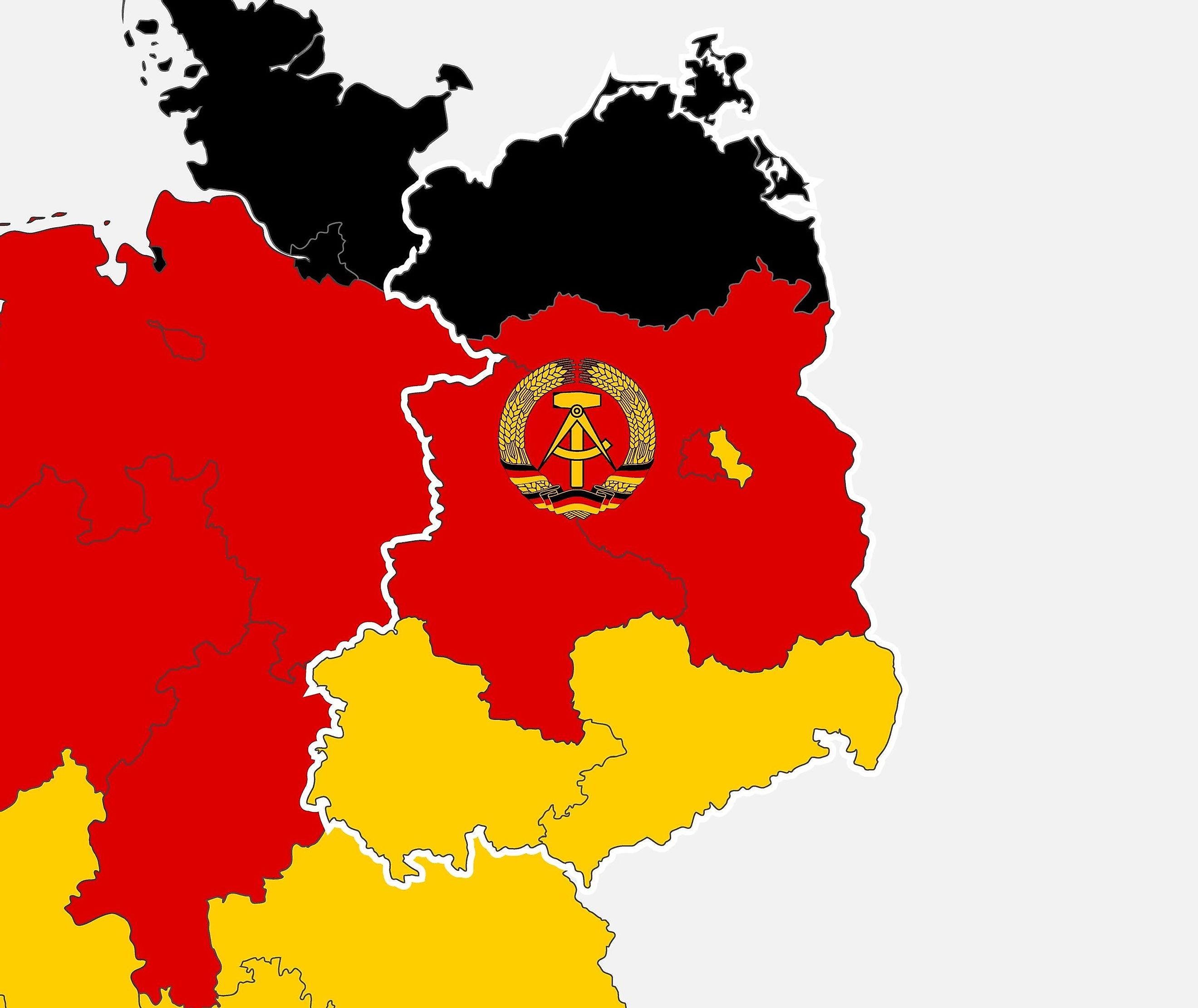
The state occupied a significant area of 41,828 square miles in modern-day Germany. Relative to other countries, the borders remain identical with Poland eastward, the Baltic Sea to the north, and former Czechoslovakia towards the south. East Germany shared a border with West Germany, based upon a modified version of pre-1871 provinces, before Prussian unification. These provinces, Anhalt, Saxony, Mecklenburg, and Thuringia, roughly guided the agreement for the Soviet Union to occupy the majority of eastern Germany.
One small caveat, however, was an allied insistence for west Berlin to exist as a pocket of Western influence, forcing the Soviet Union to isolate east Berlin until 1990. As the majority of the region is flatlands, only a few Mountain and hill ranges exist such as the Ore Mountains, Thuringian Highland, the Elbe Sandstone Mountains, and the Zittau Mountains, all of which hover on the northwestern border of modern-day Czechia.
Agriculture

Due to ice age glaciers leaving only a few small morainic hills, East Germany provided an immense agricultural benefit to the occupying soviet union. This area, dubbed the North German Plain, begins at the Baltic Sea and extends until Germany's Central Uplands. Several marshes dot the plain, however many of the post-ice age bogs have been drained entirely. This exodus of water is aided by rivers that flow into northern bodies of water, such as The Rhine and the Ems.
As a maritime environment, East Germany experiences cool yet humid summers and mild winters. The importance of this area for agriculture cannot be underestimated, which led to 40 percent of farmland being expropriated between 1945 and 1952. Agricultural cooperatives, a hallmark of GDR socialism, were formed by small farming collectives merging with state-owned farms, which became standard practice by the 1980s.
Population
In 1949 the population of East Germany totaled over 18,388,000 people. Over time the population decreased to 16,111,000 because of economic trouble and exodus. The density of this state hovered around 386 people per square mile. In 1989, despite past economic and political trouble, East Germany scored high (0.953) on the Human Development Index which is a measure of education and life expectancy. The East German mark was the primary currency until 1990, wherein the Deutsche Mark became standardized.
Bodies of Water

The region is well irrigated, with rivers like the Havel which flow throughout Berlin, connecting with tributaries like the river Spree. In fact, at 400 kilometers and stretching to the southeast borders, the Spree has three sources (one titled Spreeborn adjacent to the village of Spreedorf) and eventually leads to the Spree Forest. The Spree feeds not only Berlin but Lusatia and Brandenburg as well. In the northeast of East Germany sits the Müritz, a lake of 117 km2.
The majority of the lake area, such as forests and wetlands, is protected, and it crosses paths with the River Elde, a crucial tributary that is approximately 220 km long. Lake Schwerin, a famous lake underneath the shadow of Schwerin Castle, sits to the northwest of the East German region, a hundred kilometers east of Hamburg. Once again, this 62 km2 body of water connects with the Elde, and is another piece of the Elbe watershed that crosses from the North Sea diagonally through East and West Germany, and ends near the northern tip of Austria.
History

The history of East Germany is based on the aftermath of World War II and the tension between Western alliances and Soviet Russia. In some ways, the division of East and West Russia was both a compromise and an experiment; Western Germany was established with parliamentary democracies managed by France, Britain, and the United States, while regions under Soviet Control resembled a dictatorship. The allure of West German life catalyzed a mass exodus, despite the penalty of death if spotted, from East Germany. Ironically, the downfall of East Germany was the debt that the GDR (the ruling party) had accumulated from Western nations while East Germany's economy plummeted. In October of 1990, the iron curtain completely fell and all of Germany reunited.
This region contains the cities: Altenburg, Apolda, Bautzen, Brandenburg/Havel, Cottbus, Dessau, Dresden, Eberswalde, Eisenach, Stalinstadt/Eisenhüttenstadt, Erfurt, Frankfurt (Oder), Freiberg, Gera, Görlitz, Gotha, Greifswald, Halberstadt, Halle, Halle-Neustadt, Hoyerswerda, Jena, Chemnitz/Karl-Marx-Stadt, Leipzig, Magdeburg, Merseburg, Neubrandenburg, Plauen, Potsdam, Rostock, Schwedt, Schwerin, Stralsund, Suhl, Weimar, Wismar, Wittenberg, Zittau, Zwickau


