Maps of Florida

Florida, nicknamed the Sunshine State, is a peninsula located in the Southeastern United States. It shares a border with both Alabama and Georgia in the North and is the only state with a coastline along both the Atlantic Ocean and the Gulf of Mexico. Moreover, Florida operates under two primary time zones: Eastern Time (ET) and Central Time (CT).
Florida's capital, Tallahassee, is in the state's northern panhandle region. Jacksonville, the most populous city, is in Northeast Florida, along the St. Johns River.
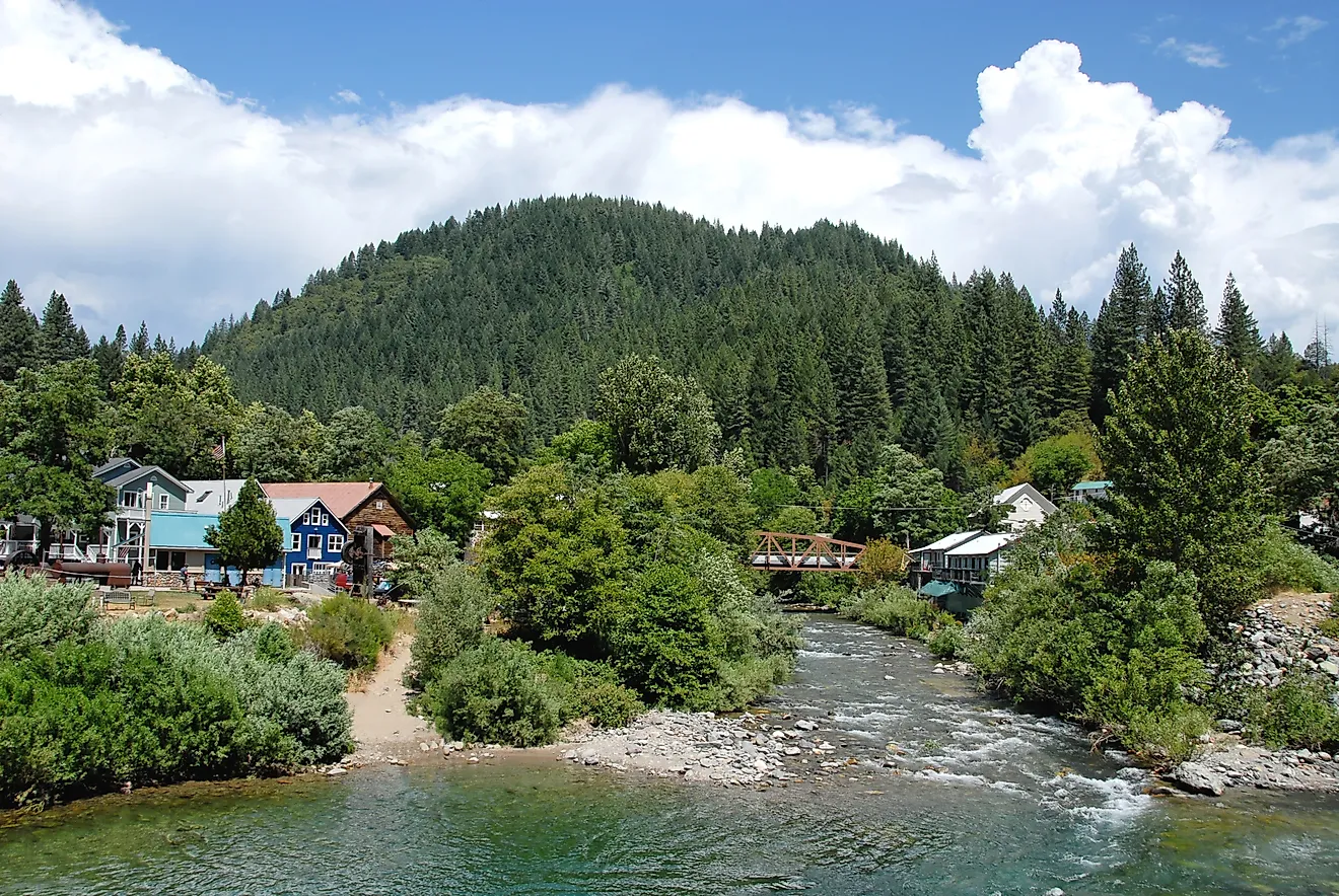
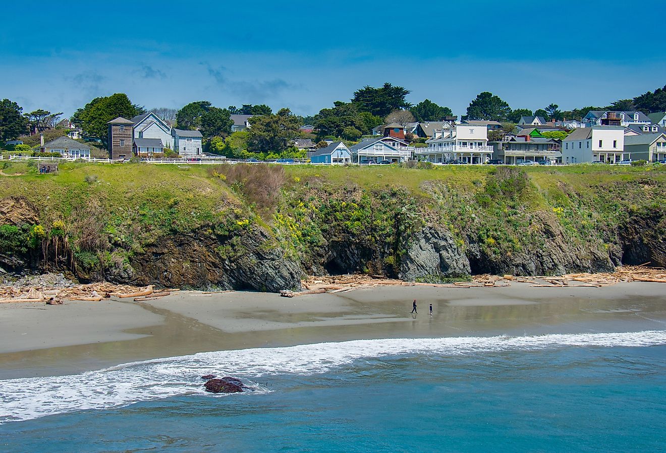
Florida attracts numerous tourists with its array of destinations, including Walt Disney World, Cape Canaveral and the Kennedy Space Center, Universal Orlando Resort, Miami Beach, the Ten Thousand Islands, the Everglades, Key West, and the Florida Keys.
The United States ratified Florida as a territory in 1821 after acquiring it from Spain. It later became a US State in 1845, making it the 27th US state.
Size
Spanning an area of 65,758 mi2 (170,312 km2), Florida is the 22nd largest state in the United States.
Florida is about half the size of Finland and about twice that of Maine. Around 12,133 mi2 (31,424 km2) of the state's area is water, which accounts for nearly one-fifth of the state's total area. Out of the total area, 138,887 km2 (53,625 mi2) is land, while the remaining 31,424 km2 (12,133 mi2) is water, illustrating Florida's vast aquatic resources.
Bodies Of Water
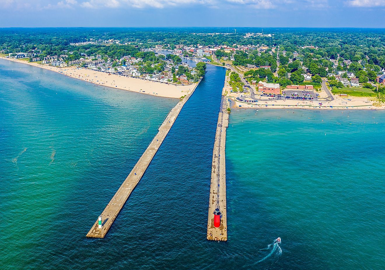
Florida contains over 7,700 lakes. The state also has over 1,700 rivers, totaling more than 25,000 miles (40,000 kilometers) in overall length.
The largest lake in Florida, Lake Okeechobee, covers 730 mi2 (1,900 km2), making it the eighth-largest natural freshwater lake in the United States and the second-largest contained entirely within the contiguous 48 states, following Lake Michigan. The second largest Florida lake is Lake George at 72 mi2 (186 km2) and is one of the world's only freshwater blue crab fisheries.
The longest river in the state is St. Johns River, which is over 300 miles (483 kilometers) long. St. Johns River is particularly unique, as the Atlantic Ocean tide causes it to reverse its direction of flow twice a day. The Suwanee River is the second largest at 246 miles (396 kilometers). The Miami River is only about 5.5 miles (8.9 kilometers) long but is a significant body of water in Florida due to its presence running through the city of Miami.
Beyond lakes and rivers, the state is famous for its extensive network of wetlands, including the renowned Everglades in the south. The Everglades represent a unique and complex hydrological system characterized by slow-moving water and a wide variety of habitats. Due to the shallow sheets of fresh water that flow through sawgrass marshes, mangrove forests, and cypress swamps, they are considered a river of grass, supporting an incredibly diverse ecosystem.
Climate
The climate in Florida is predominantly humid subtropical, with the southern parts having a true tropical climate. Average temperatures in January can range from 59°F (12°C) in the north to 75°F (24°C) in the south, while July sees averages from 73°F (22.7°C) to 95°F (35°C.) Florida receives an annual rainfall of approximately 54 inches, supporting its lush greenery and rich biodiversity.
The state is also known for its susceptibility to hurricanes due to its geographical location between the Atlantic Ocean and the Gulf of Mexico, which affects its climate and environment significantly.
Topography
Florida's topography is remarkably flat, with its highest point at Britton Hill, standing only 345 feet (105 m) above sea level—making it the lowest high point of any U.S. state. Conversely, its lowest point is at the Atlantic Ocean and Gulf of Mexico, which are at sea level. This flatness contributes to its extensive swamps and wetlands.
Many areas in Florida, including heavily populated coastal regions like Miami, have an elevation of less than 12 feet (3.7 meters). Consequently, Miami and other southern parts of Florida are among the areas most susceptible to the impacts of rising sea levels due to climate change.
Geology
The geological foundation of Florida is predominantly limestone, which underlies much of the state, leading to the formation of numerous sinkholes and the extensive Floridan Aquifer system. This aquifer system is one of the most productive in the world and supplies drinking water to most of the state's population.
Florida, along with North Dakota, experiences the fewest earthquakes of any U.S. state due to its location away from tectonic plate boundaries, making seismic events extremely rare, although not entirely absent.
Natural Environment
Florida's flora and fauna are as diverse as its climate. Iconic animals such as the American alligator, the Florida panther, and the manatee can be found here, alongside a wide array of bird species like the osprey and the pelican. The state's vegetation is equally varied, with the saw palmetto, slash pine, and mangroves being particularly significant due to their adaptation to the local climate and their ecological importance.
The Everglades have become a hotspot for invasive species, with animals such as the Burmese python and plants like the Brazilian pepper significantly disrupting native ecosystems. These invaders threaten the biodiversity of the region by competing with native species for resources and altering the natural habitats.
Natural Attractions
Among the top natural sites in Florida, the Everglades National Park stands out as an iconic destination. This vast wetland ecosystem, known as the "River of Grass," spans across southern Florida.
Another natural wonder is the Florida Keys, a coral cay archipelago that forms the southernmost portion of the continental United States. The Keys are renowned for their laid-back atmosphere and spectacular coral reefs, making them a premier destination for diving, snorkeling, and fishing.
Moving inland, the Ocala National Forest offers a different environment with its pine forests and over 600 lakes and springs. Here, visitors can enjoy hiking, bird watching, and the refreshing clear waters of natural springs.
The Crystal River is the only place in Florida where you can legally swim with manatees in their natural habitat.
Dry Tortugas National Park, located 70 miles west of Key West, is accessible only by boat or seaplane and features the impressive 19th-century Fort Jefferson surrounded by crystal-clear waters and vibrant coral reefs.
Tourist Attractions
Florida attracts over 120 million tourists each year. Walt Disney World in Orlando is perhaps the most iconic of these, with its theme parks including Magic Kingdom, Epcot, and Hollywood Studios.
Universal Studios, also located in Orlando, offers rides based on popular films like Harry Potter and Jurassic Park.
The Kennedy Space Center on Florida's Space Coast is a must-see spot for those interested in space and science.
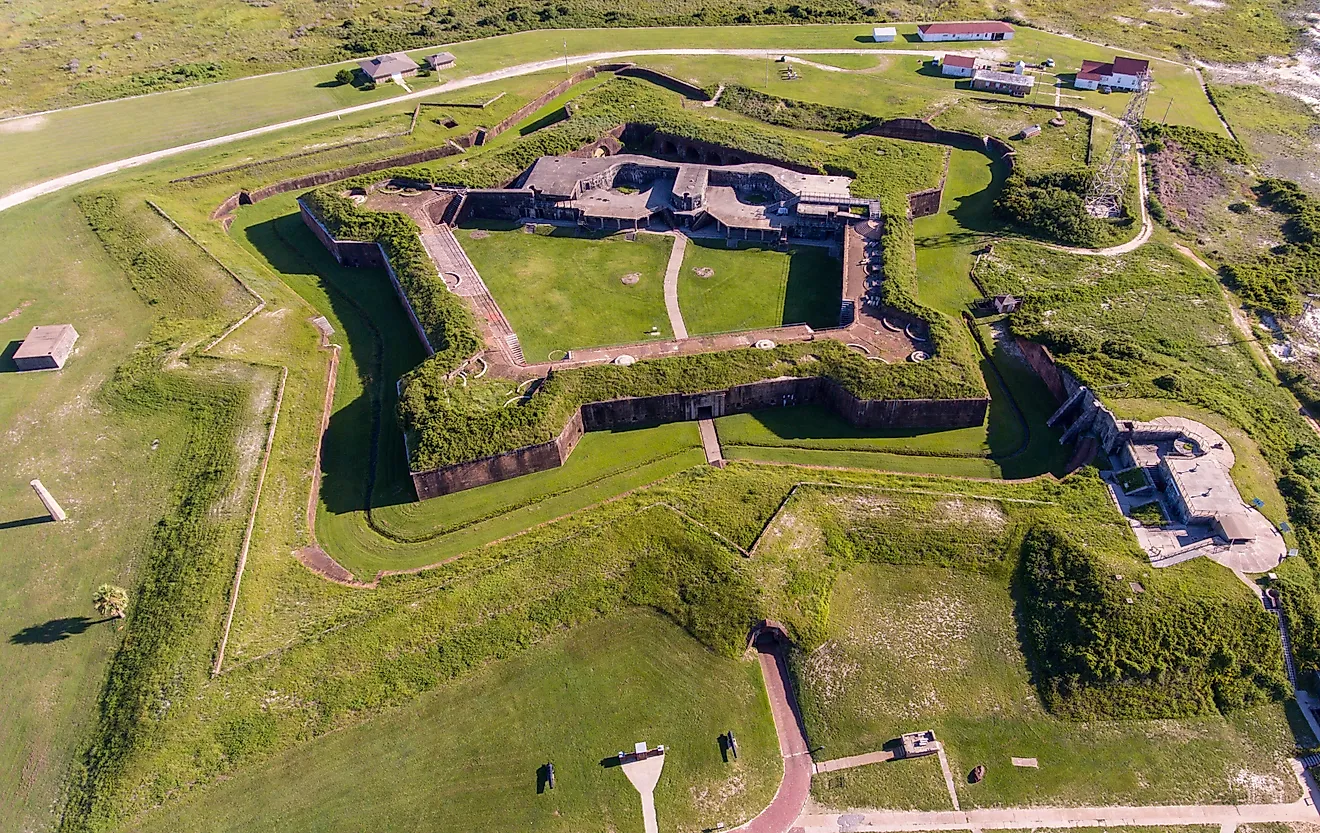
Additionally, the historic St. Augustine, the oldest European settlement in the U.S., is home to iconic colonial architecture and fortifications like the Castillo de San Marcos.
Lastly, Miami's vibrant South Beach is famed for its Art Deco architecture, nightlife, and beach scene.
Regions
Florida is divided into four primary geographical regions: the Coastal Plains, the North Central region, the Everglades, and the Keys.
The Coastal Plains
The Coastal Plains region accounts for a large portion of the state's land. It is generally flat, with sand, gravel, and clay sediments that slope towards the Atlantic Ocean and the Gulf of Mexico. This region is filled with marshes and wetlands, specifically the Big Bend area in the panhandle, which is sparsely populated due to dense marshes and woodlands. Nationally, the Coastal Plains extend from the New Jersey coastline all the way down to the Texas-Mexican border coast.
North Central
The North Central region is located in the northern part of the state. It is slightly hilly compared to the rest of Florida's flat topography. Pine forests, magnolia trees, and Spanish moss populate the area. Britton Hill (Florida's highest point) is located in this region as well.
The Everglades
The Everglades region, often referred to as the "River of Grass," is located in the southern part of Florida and has a marshy, swampy terrain. This large tropical wetland area houses a wide variety of plant and animal species, such as Bromeliads, native wildflowers, the West Indian Manatee, the American Crocodile, the American Alligator, and the Florida Panther. The Everglades National Park is a UNESCO World Heritage site.
The Florida Keys
The Florida Keys, near the southern tip of Florida, is an archipelago consisting of over 1,700 small islands. One of the most famous tourist destinations in this region is Dry Tortugas, a 100 mi2 (259 km2), remote national park with an impressive variety of bird species, coral reefs, and marine life.
Counties Map

The State of Florida is divided into 67 counties. In alphabetical order, these counties are: Alachua, Baker, Bay, Bradford, Brevard, Broward, Calhoun, Charlotte, Citrus, Clay, Collier, Columbia, DeSoto, Dixie, Duval, Escambia, Flagler, Franklin, Gadsden, Gilchrist, Glades, Gulf, Hamilton, Hardee, Hendry, Hernando, Highlands, Hillsborough, Holmes, Indian River, Jackson, Jefferson, Lafayette, Lake, Lee, Leon, Levy, Liberty, Madison, Manatee, Marion, Martin, Miami-Dade, Monroe, Nassau, Okaloosa, Okeechobee, Orange, Osceola, Palm Beach, Pasco, Pinellas, Polk, Putnam, Saint Johns, Saint Lucie, Santa Rosa, Sarasota, Seminole, Sumter, Suwannee, Taylor, Union, Volusia, Wakulla, Walton, and Washington.
With an area of 65,758 mi2, the State of Florida is the 3rd most populous state in the USA. Located in Leon County, in the heart of the state’s northern panhandle region is Tallahassee – the capital city of Florida. Tallahassee serves as an educational hub for both Florida and the USA. Situated along the banks of St. Johns River, in northeastern Florida is Jacksonville – the state’s largest and the most populous city.
Where is Florida?

The State of Florida is located in the far southeastern region of the United States. Florida shares its land border with the State of Alabama in the northwest, and with the State of Georgia in the north. Florida has the largest coastline in the contiguous United States and is surrounded by the Gulf of Mexico to the west; by the Atlantic Ocean to the east and by the Straits of Florida to the south.
Regional Maps: Map of North America
Outline Map of Florida

The above blank map represents the State of Florida, located in the far southeastern region of the United States. The above map can be downloaded, printed and used for geography education purposes like map-pointing and coloring activities.

The above outline map represents the State of Florida, located in the far southeastern region of the United States. Florida has been nicknamed as the "Sunshine State."
Key Facts
| Legal Name | State of Florida |
|---|---|
| ISO 3166 Code | US-FL |
| Capital City | Tallahassee |
| Major Cities |
|
This page was last updated on November 27, 2024