St. Johns River, Florida
St. Johns River is about 500 km long, making it the longest river in Florida, United States. Approximately 3.5 million people live along the river and its watersheds. The river flows through 12 counties in the state, starting from the northeastern part and draining into the Atlantic Ocean. At its broadest, the river measures 3 miles across from bank to bank. St. Johns River separates into three river basins. The largest is the Lower Basin, which covers about 2,600 square miles. The Upper Basin covers approximately 2,000 square miles, and the Middle St. Johns River Basin covers 1,200 square miles in a highly urbanized area of central Florida. About 16,000,000 tons of freight pass through the river’s ports in Jacksonville every year. Along with commercial traffic, the St. Johns River is considered the most important river for recreation in the state. In the modern era, the St. Johns River is known as a haven for fishing, boating, and swimming.
Geography Of St. Johns River

The St. Johns River lies in a coastal plain, in an area that was once made up of coastal dunes, estuary marshes, and barrier islands shaped by the force of ocean waves. The source of St. Johns River lies in St. John's Marsh, located west of Vero Beach in Indian River County. As a blackwater stream, it is fed via swamps and marshes. The groundwater seeps through the sand, collecting in a slight depression that eventually becomes the steady stream of a river. The river's headwaters are located at Blue Cypress Lake. The St. Johns River then flows northwards due to a slope in the river bed. From Saint John's Marsh, and over the course of its 500km journey, the river gradually runs downwards about 30 feet. The long, slow slope makes it one of the slowest running rivers in the world.

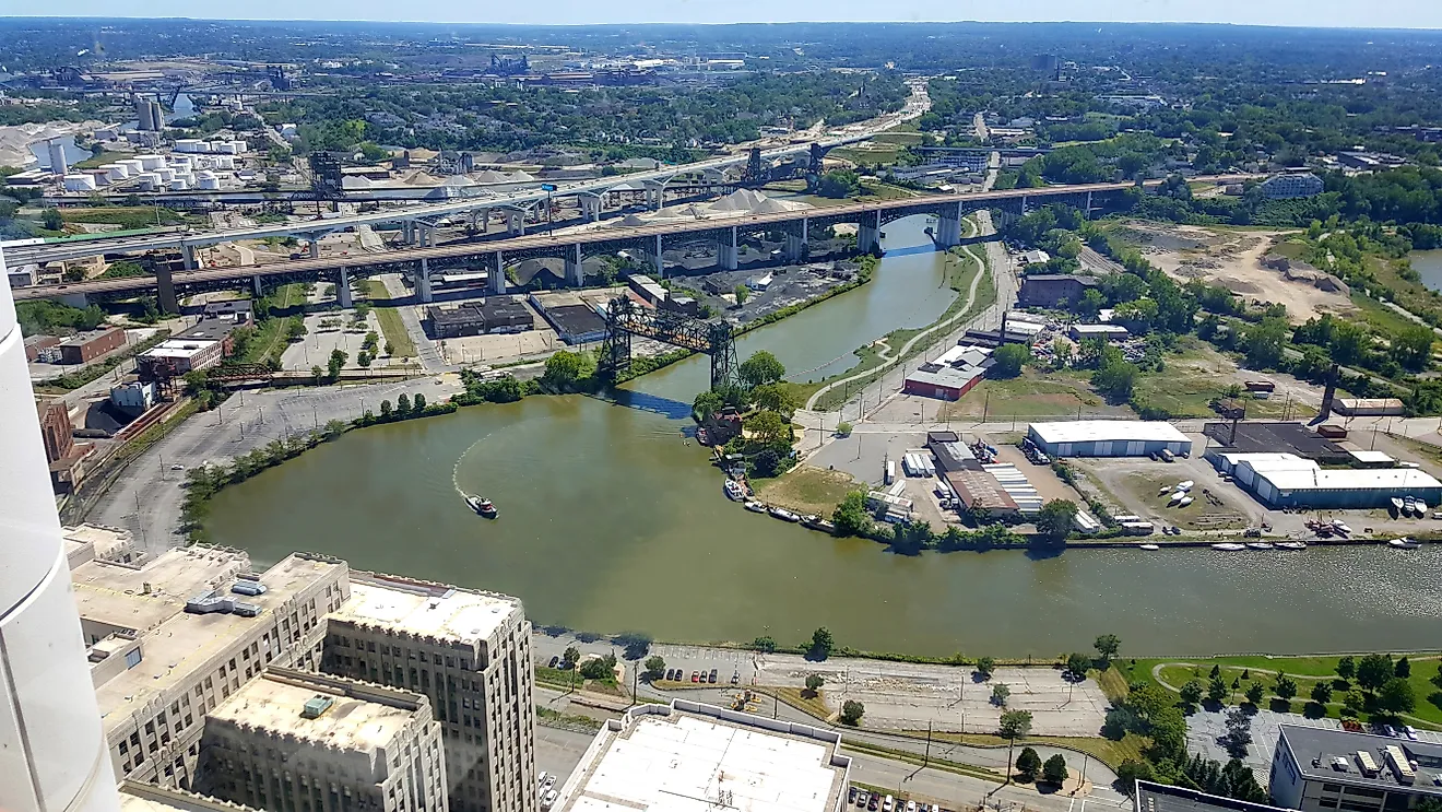
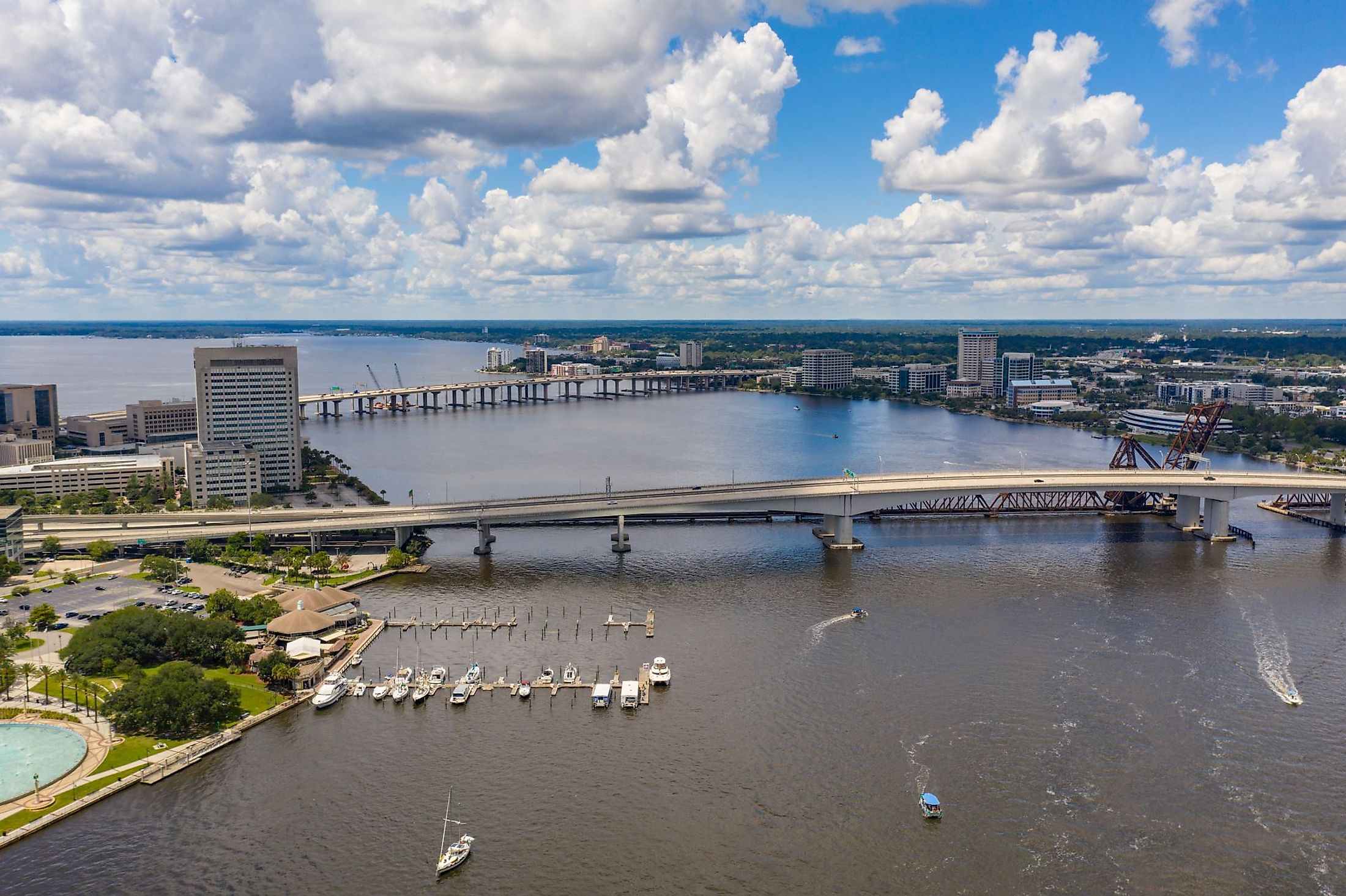
The waters of the St. Johns River are clear as it flows past the marshes. Once it reaches Brevard County, the river becomes navigable. When the river reaches the Jacksonville area, about 40 km from its mouth, the water becomes brackish due to the influx of seawater. It creates what is called an estuarine ecosystem. Turning east from Jacksonville, the river's mouth is located at the Atlantic Ocean in Mayport, Florida. Its total basin size is 22,900 sq. km. The river's discharge at Mayport is an average of 420 cubic meters per second, with a maximum volume of 4,200 cubic meters per second.
Climate Of St. Johns River
Water temperatures of the St. Johns River generally range from a low of just over 55 °F to a high of over 80 °F during the summer months. Summers along the St. Johns River are long and hot. Summer skies are most often cloudy, with high humidity. Winters are short and cool, with partly cloudy skies. Precipitation is frequent all year round, with rain falling 11 days per month during the summer. Annual totals average about 50 inches per year. Air temperatures vary from about 46 °F to 90 °F throughout the year. During extreme weather conditions, flooding may occur. In 2017, the surge of water from Hurricane Irma resulted in historical water levels and flooding through the downtown area of Jacksonville up to 5-ft 7-in for many miles along the river’s banks.
Ecology Of St. Johns River

The St. Johns River hosts a diverse and complex ecosystem along its length. Hundreds of species of fish, and thousands of invertebrates, make their home in its slow-moving, nutrient-rich waters, along with hundreds of species of plants. The food chain begins with the invertebrates, including crayfish, grass shrimp, and apple snails, which eat the plant material in the water and become a food source for birds and fish. Mosquitoes become food for more than 150 species of dragonflies and damselflies.The river is also home to small animals such as frogs, salamanders, snakes, and turtles, particularly in the marsh areas. Many of the aquatic species are more active during the cooler night hours. Many birds depend on the river and its shallow areas for food and survival. In the marshes, birds that wade through the water, such as the white ibis and wood stork, consume the frogs and small fish.

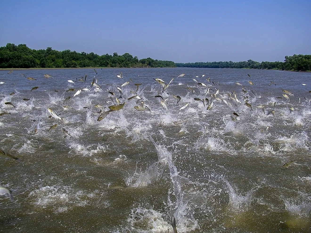
Alligators are a common sight in the St. Johns River, resting along its banks. Eels are native to the area, along with flounder, redfish, and black drum. Bottom-dwelling species such as the robin and toadfish can also be found here. Bull sharks are occasionally seen and caught in the river, along with blacktip, sandbar, and sharpnose sharks. Bull sharks can tolerate freshwater, while the other species of shark stay mainly in the estuary waters. Manatees are often spotted in the river, as well as in nearby spring waters. During the winter, the manatees often seek out warmer spring waters. Skates and manta rays also pass through the river.Saltwater shrimp make an annual run up the river to spawn for a shrimping season that may last from August until Thanksgiving. Heavy rainfalls during this period can disrupt the shrimp run and send the crustaceans back out into the ocean. Rhesus monkeys can be found in the area where the St. Johns River meets the Wekiva River. Rhesus monkeys are excellent swimmers and have thrived in the area. The rhesus macaques, native to many regions of Asia, were released by a tourism operator in the 1930s and, despite several attempts to control their population, continue to be spotted in the area and along the Ocklawaha River, a tributary of the St. Johns River. The St. Johns River gets polluted as a result of run-off from residential as well as commercial development, roads, and agriculture, as well as aging and defective septic tanks. There is also some contamination with metals, PCBs, and pesticides that gets discharged into the river from nearby agricultural fields.
Brief History Of St. Johns River

Archaeological evidence shows the beginning of human habitation in the St. Johns River area from the Middle Archaic period, or between 5,000 and 3,000 years ago. Indigenous populations thrived in the area and created several settlements along the river. From the findings, they ate freshwater snails and oysters in abundance. Around 750 CE, corn was first cultivated in the area, and the population grew. When the Spanish colonists first arrived in the 16th century, the local Timucua people numbered around 14,000. The Spaniards named the river Rio de Corrientes (River of Currents). The Timucua were eventually forced into slavery by the Spanish. They settled on the lands west of the river, while the European colonists settled on the eastern bank. Later, the Seminoles settled in the area, calling the river Welaka. The French and Spanish disputed the territory, culminating in the Spanish sack of the French Fort Caroline in 1565. The Spanish called the river San Mateo and occupied the fort until 1569. Spanish Franciscan missionaries named a mission they’d set up at the mouth of the river San Juan del Puerto (St. John of the Harbor). It first appeared on a map dating about 1680. Florida became part of the jurisdiction of the Kingdom of Great Britain in 1763, reverting to Spanish rule decades later in 1795. Settlements began to be set up along the river, starting from the area around what is now Orange Park. Plantations growing citrus fruits and cotton were developed in the Jacksonville area in the early 19th century.

The arrival of steamships in the 1860s sparked a growth in commerce and population along the river. During the Civil War, the USS Columbine, a Union vessel that patrolled the river, was sunk by Confederate supporters. The Melbourne Tillman drainage project, established in the 1920s, lowered the Upper Basin, draining the river’s headwaters to the Indian River eastwards. The intent was to supply water for the expansion of agriculture. However, it resulted in the accumulation of sediment and degradation of the water. In 2015, the Canal 1 Rediversion project partially reversed the drainage. By 2017, up to 43% of the discharge had been returned to the Upper St. Johns Basin. The population of Florida and the urbanized areas of the St. Johns River region have grown exponentially since the mid-20th century in the Upper Basin area.