The US Coastlines Where Sea Level Is Rising Fastest
At the tide gauge on Grand Isle, Louisiana, the water has climbed more than 2 feet since 1947. That works out to about 3.6 inches every decade, the fastest rate of any long-running tide gauge in the Lower 48, according to the National Oceanic and Atmospheric Administration. The number is not just about the ocean rising. The agency measures relative sea level, which combines the water getting higher with the land getting lower, and along much of the Gulf Coast, the ground itself is sinking. That is why the fastest-rising US coastlines cluster in Louisiana, Texas, and Virginia, while parts of Alaska are seeing sea level fall.
Grand Isle, Louisiana

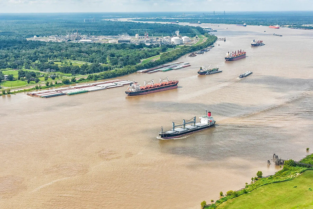
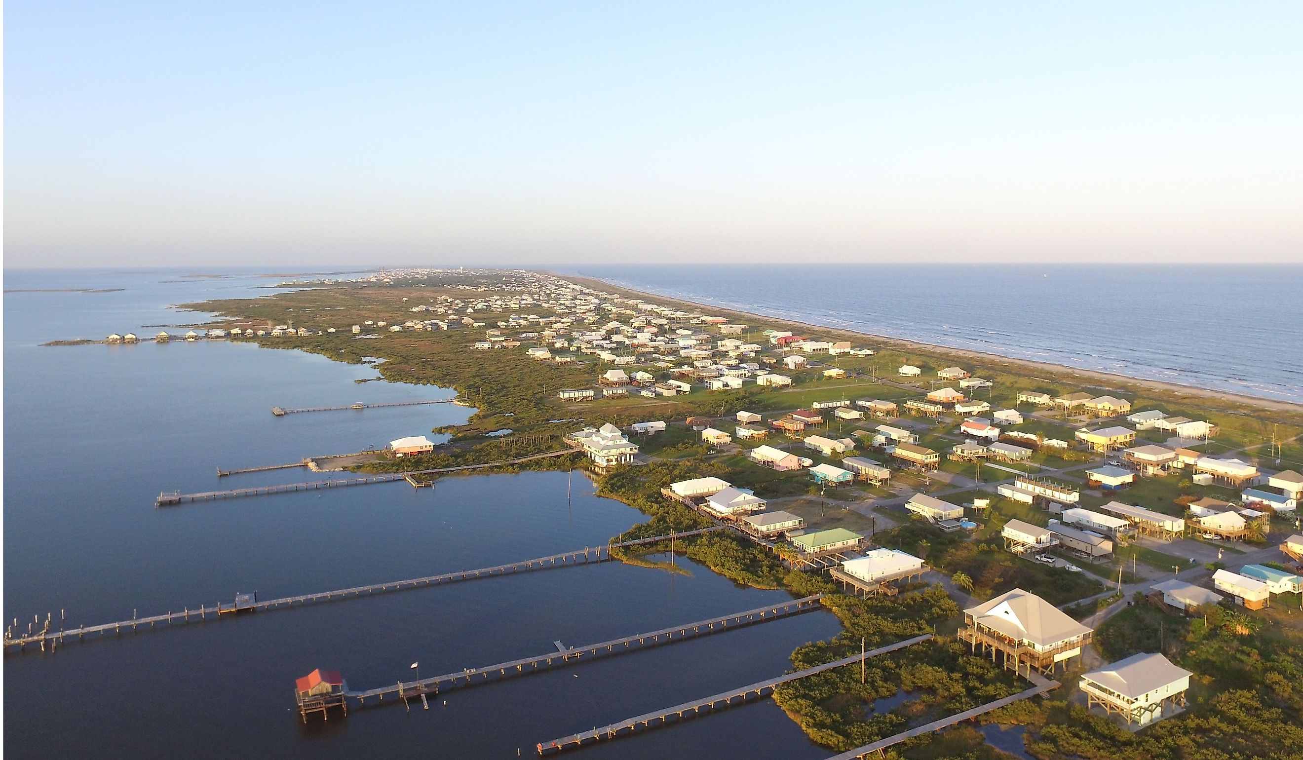
Grand Isle is Louisiana's only inhabited barrier island, a thin strip of sand at the edge of the Mississippi River Delta. The delta was built over thousands of years by river mud, and that mud naturally settles and compacts over time. In the past, spring floods spread fresh sediment across the delta to make up the difference. Today, levees keep the river in its channel, so little new mud reaches the coast, while the old ground keeps sinking. Add rising seas, and Grand Isle's tide gauge has recorded one of the steepest climbs in the country. Residents have adapted by raising their homes high on stilts, and the island depends on a protective levee and beach restoration to hold back the Gulf.
Galveston Bay, Texas

The Galveston area has two of the fastest-rising gauges in the country. Eagle Point, on the shore of Galveston Bay, shows the highest rate of any Lower 48 station, nearly 5 inches (12 cm) per decade, though its record only goes back to 1993. The Pier 21 gauge on Galveston Island has a much longer history, dating to 1904, and it shows sea level rising about 2.6 inches (6.6 cm) per decade, adding up to more than 2.5 feet (0.8 m) since the gauge began. Much of the extra rise comes from sinking land. For decades, heavy pumping of groundwater around the Houston area caused the ground to settle, and Texas created a special subsidence district in 1975 to limit the pumping. Galveston knows the dangers of water well. After the deadly hurricane of 1900, the city built its famous seawall and raised the elevation of much of the island.
Chesapeake Bay And Hampton Roads, Virginia

On the Atlantic coast, the fastest rise is happening around the lower Chesapeake Bay. Gauges near the Chesapeake Bay Bridge-Tunnel and at Windmill Point in Virginia show sea level rising about 2.4 to 2.5 inches (6 cm) per decade, roughly double the rate in New York City or Boston. In Norfolk, home of the world's largest naval base, the Sewells Point gauge has recorded about 1.9 inches (4.8 cm) per decade since 1927. Here too, the land is sinking. The US Geological Survey links the subsidence to two causes, the slow settling of land that bulged upward next to the massive ice sheets of the last Ice Age, and the pumping of groundwater from deep aquifers. Today, flooding during high tides is common in parts of Norfolk, even on sunny days.
Where Sea Level Is Falling

Not every US coast is losing ground. In Southeast Alaska, the land is rising as it rebounds from the weight of melting glaciers, and it is climbing faster than the ocean. NOAA's gauges show relative sea level falling by more than 5 inches (13 cm) per decade in Juneau and about 7 inches (18 cm) per decade in Skagway. Along much of the West Coast, including San Francisco and Seattle, sea level is rising, but at less than an inch (2.5 cm) per decade, a fraction of the Gulf Coast's pace.
Why The Rates Differ So Much
The ocean is rising almost everywhere, but the ground beneath each coastline decides how fast the water creeps inland. On the Gulf Coast and in the Chesapeake region, sinking land doubles or even triples the effect of rising seas, which is why Louisiana, Texas, and Virginia top NOAA's list. In Alaska, rising land flips the trend entirely. For coastal towns like Grand Isle and Norfolk, those local differences shape building codes, flood plans, and the height of the levees that protect them.