The American Borders Drawn By A River That Moved
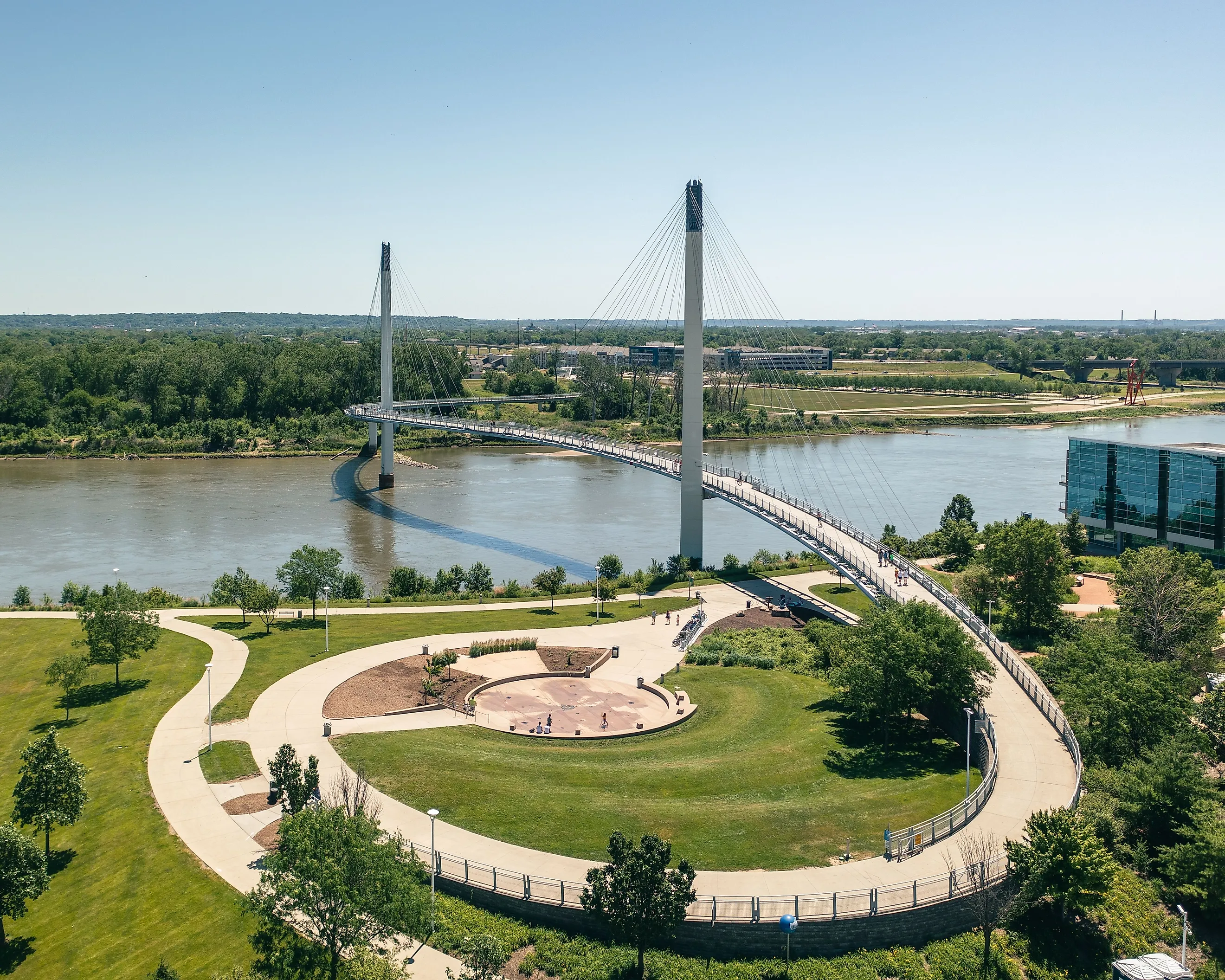
There is a town in Iowa that you cannot reach from Iowa without leaving Iowa. Carter Lake sits on the Nebraska side of the Missouri River, wrapped on three sides by Omaha, and it got there overnight in 1877 when the river cut through the neck of an oxbow bend and relocated itself a mile and a quarter to the southeast, abandoning several hundred acres of Iowa on the wrong bank. The Supreme Court sorted it out in 1892, and the answer came down to a distinction almost nobody has heard of: whether a river moves gradually or all at once decides whether the border goes with it. One rule, and it explains a stranded state capital, an international incident that took a century, and a border that is now encased in concrete so it cannot wander off again.
The river it was written for then ignored the ruling completely, which is where this stops being a legal principle and starts being a farce.
The Rule That Decides Everything

The doctrine has two halves and the Supreme Court laid both out in 1892. If a boundary river shifts gradually, through the process called accretion, the border travels along with the water. If the river suddenly abandons its old bed and strikes out for a new one, which lawyers call avulsion, the boundary stays exactly where it was, in the center of the channel the river just walked away from.
The Court then added the line that makes this a map problem rather than a property one: the rule applies to a state when a river forms one of its boundary lines. So a state border that follows a river is only following it on good behavior. The instant the river jumps, the border stays put and folds its arms.
Applying this in practice is considerably harder than stating it, because erosion on a big muddy river is violent even when it is legally gradual. Whole sections of bank drop into the water with the trees still standing up in them, which does not strike most observers as an imperceptible process. Courts have nonetheless had to sit and decide, case by case, whether specific mud moved slowly or quickly.
Nebraska v. Iowa, 1892

Iowa joined the Union in 1846 with its western boundary set as the middle of the main channel of the Missouri River, and Nebraska joined in 1867 with its eastern boundary defined identically. Between 1851 and 1877 the channel near Omaha wandered so thoroughly that by the end of it the river was in an entirely different bed, and both states discovered they had been describing their borders using a landmark with opinions of its own.
Nebraska sued. The case was argued on January 29, 1892 and decided a month later, and the Court split the difference with some precision: the law of accretion controls on the Missouri as elsewhere, but the 1877 change between Omaha and Council Bluffs was not accretion. The river had been running in the nature of an ox-bow and then suddenly cut through the neck of the bow, which is textbook avulsion.
So the boundary did not budge. It stayed in the middle of the old channel and became, in the Court's phrasing, a fixed and unvarying boundary no matter what the river got up to next. Which was a lot.
Carter Lake, Iowa
The result is a town of a few thousand people that is legally in Iowa, physically inside Nebraska's largest metro area, and bordered by Omaha on three sides with the fourth facing water.
Residents pay Iowa taxes, vote in Iowa elections and send their children to Iowa schools, while their nearest supermarket, hospital and airport are all in a different state. Iowa's westernmost point is in Nebraska, and has been for nearly 150 years, because of one bad night on a river.
The abandoned oxbow is still sitting there as a lake, which is what the town is named after. Carter Lake is the only American town named for the geographic accident that misplaced it.
The River Ignored The Supreme Court

Here is where a tidy legal principle meets an actual river. The Missouri did not stop moving in 1877, and it showed no discernible respect for the decree, the Court, or the two states involved.
One legal history describes a fickle river that refused to be bound by the Supreme Court's 1892 decision and notes that over the following thirty-five years it changed course so often that applying the ruling became impossible. Every fresh shift raised the same question again, and somebody had to determine whether this particular rearrangement had been sudden or gradual, on a river that does both, continuously, in the dark, without notifying anyone.
By the time the accounting was done, more than 14,000 acres of Nebraska and Iowa were on the wrong sides of the water. The Supreme Court had answered the question correctly and the river had simply moved the question.
The States Eventually Surrendered
After half a century of this, the two states reached the conclusion available to anyone who has ever argued with a river: they stopped. The Iowa-Nebraska Boundary Compact of 1943 settled the accumulated mess by agreement rather than by asking the Supreme Court to referee every individual bend in perpetuity.
Even that did not close it. The Battle of Blackbird Bend, concerning land the Omaha Tribe lost to the river's wanderings, ran through the federal courts into the 1970s on precisely the same avulsion and accretion questions the Court had settled eighty years earlier. The doctrine is durable. The evidence keeps washing away.
Kaskaskia, Illinois

The Mississippi went one better and stranded an entire state capital. Kaskaskia was the first capital of Illinois, a substantial town on the east bank, until the 1880s when the river carved a new channel and left it on the west side.
Illinois kept it, because the border stayed with the old channel. The state's founding capital is therefore cut off from the rest of Illinois by the Mississippi River and reachable by road only by driving through Missouri. Its population is in the single digits to low double digits depending on who is counting, most of the original town having been destroyed by the flooding that came with the move.
Illinois has a founding capital that Illinois cannot drive to without leaving Illinois, which is the sort of thing that happens when you let a river hold the deeds.
The Chamizal, El Paso And Juarez

The same problem at international scale, and it took a full century. The Rio Grande between El Paso and Ciudad Juarez drifted south through the nineteenth century, carrying several hundred acres from the Mexican side to the American side while the treaty line stayed obediently where it had been drawn.
Arbitration produced the Chamizal Award in 1911, which the United States declined to accept, so the matter then sat unresolved for another fifty years until a treaty in the 1960s finally settled it and land actually changed hands. Fifty years of diplomatic deadlock over roughly 600 acres, generated entirely by a river going for a walk.
The sequel is the best part. During the 1930s the two countries undertook a major engineering project to canalize the Rio Grande through El Paso and Juarez, confining it to a concrete-lined channel. Having spent decades unable to agree where the border was, they gave up on negotiating with the river and simply immobilized it.
The Ohio River Belongs Entirely To Kentucky
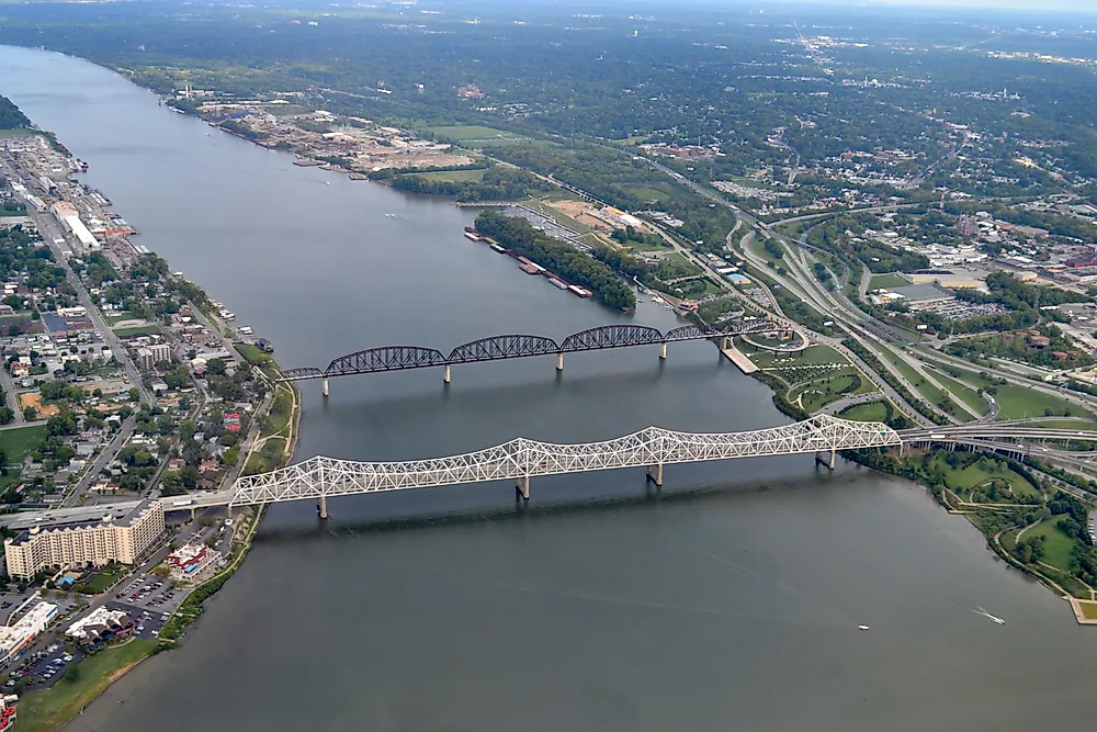
Not every river border sits in the middle of the water, and the Ohio is the big exception. When Kentucky was carved out of Virginia in 1792 the boundary was set at the low-water mark on the far bank rather than midstream, which means the entire river belongs to Kentucky and West Virginia. The state of Ohio does not own any of the Ohio River, which is a fact worth keeping in your back pocket.
This has generated its own litigation, for the excellent reason that the low-water mark of 1792 is not where the low-water mark is today. Dams have permanently raised the river, so along much of its length the legal boundary between states is now several feet underwater, marking a shoreline that no longer exists and that nobody alive has seen.
Why This Keeps Happening
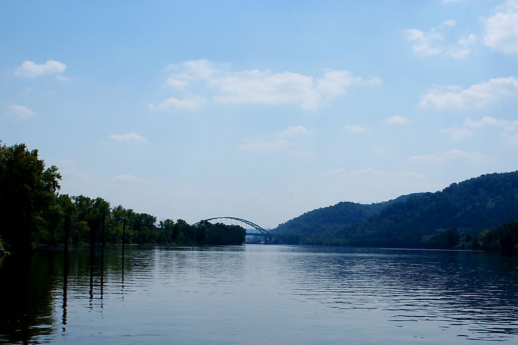
Rivers were the obvious choice for anyone drawing lines across a continent nobody had surveyed. They are visible, continuous, easy to describe in a statute and impossible to argue about the location of, which beat running a compass line through a forest by a considerable margin.
The flaw, which was not obvious at the time and is extremely obvious now, is that a meandering river on a flat floodplain is not a feature. It is a process. The Missouri and the lower Mississippi migrate across their valleys continuously, cutting new channels and abandoning old ones, and every border tied to one was always going to come apart.
Which is why the American map has small pieces in slightly wrong places, and why resolving almost any of them means answering a question nobody thought to ask while drawing the line: did the mud move slowly, or all at once?