The Highest-Elevation Rivers In The United States
Some American rivers start so high up that no trees grow there and snow can last into summer. The highest starting points are in California's Sierra Nevada and Colorado's Rocky Mountains. Federal records put the Merced River's source above 13,000 feet, and several Colorado rivers begin close to 12,000 feet. The numbers below are for where each river is officially said to begin, not the tallest peak in its watershed.
Merced River, California - 13,114 Ft

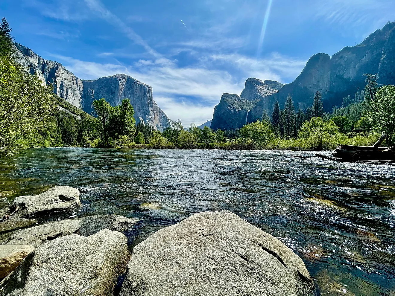
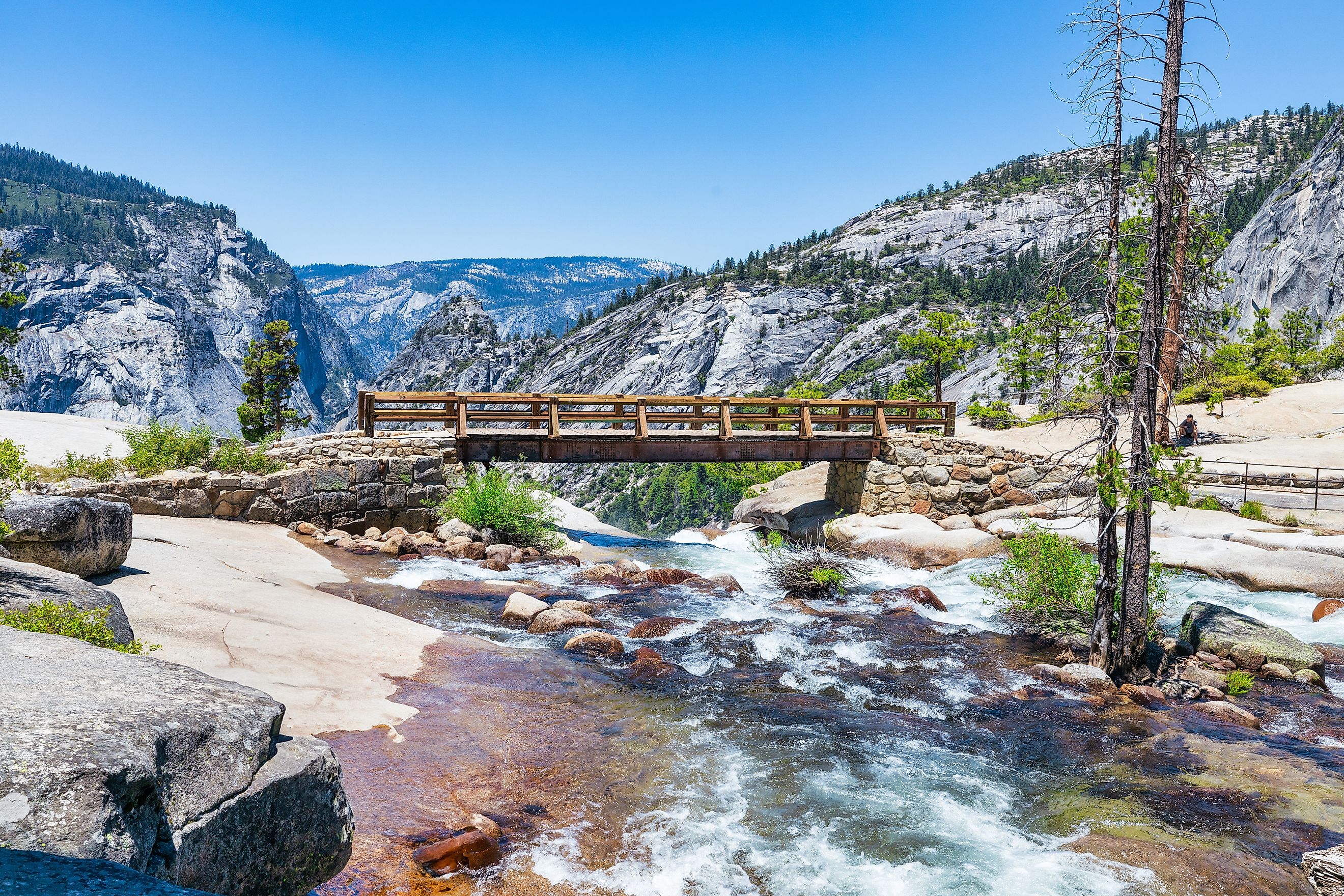
Federal Wild and Scenic Rivers records place the Merced River's source at 13,114 feet on the southern side of Mount Lyell in Yosemite National Park. That is higher than any other documented source elevation in this group. The upper drainage occupies stark Sierra Nevada terrain where lingering snowfields feed small channels through the warm season. Water then moves toward the upper Merced watershed and eventually descends into Yosemite Valley.
The 13,114-foot figure deserves one qualification: it is also Mount Lyell's summit elevation. The U.S. Fish and Wildlife Service nevertheless uses that number in its official description of the river's source, so it is best treated as the federally reported elevation rather than a surveyed first-flow point. Downstream, the Merced crosses an enormous vertical range before reaching the Sierra foothills and Lake McClure. Its course links Yosemite's high alpine zone with much warmer interior California, while preserving one of the loftiest documented river origins in the country.
Lake Fork Gunnison River, Colorado - 12,910 Ft

The Lake Fork Gunnison River begins at Sloan Lake at roughly 12,910 feet in Colorado's San Juan Mountains. National Hydrography Dataset records place the source near Handies Peak in Hinsdale County. From the alpine lake, the river descends toward Lake San Cristobal, which formed behind a prehistoric landslide, then continues past Lake City before entering Blue Mesa Reservoir and the Gunnison River. Hydrographic records put the Lake Fork at roughly 65 miles long, giving it a steep vertical profile over a relatively compact distance. The source is especially useful for comparison because it is tied to a named lake rather than a broad mountain drainage. Sloan Lake lies more than two miles above sea level, in country dominated by long-lasting snowpack and a short ice-free season. The Lake Fork carries that meltwater into one of western Colorado's major river systems.
Blue River, Colorado - 12,800 Ft

The Blue River starts around 12,800 feet in Colorado's Tenmile Range near Quandary Peak. National Hydrography Dataset mapping places its source above Breckenridge, where winter snowpack supplies much of the upper river's seasonal flow.
The channel runs north through Summit County and enters Dillon Reservoir before continuing toward Green Mountain Reservoir. It eventually meets the Colorado River near Kremmling. The surrounding watershed rises considerably higher than the source, including Quandary Peak at more than 14,000 feet, which is why summit elevation cannot be substituted for river elevation.
Mining reshaped portions of the upper Blue basin during the nineteenth century, while reservoirs now play a major role in regional water storage and diversion. Even after those changes, the headwaters remain firmly alpine. The river begins more than 5,000 feet above its eventual junction with the Colorado River, packing a substantial elevation loss into a comparatively short Rocky Mountain course.
Roaring Fork River, Colorado - 12,500 Ft

Independence Lake supplies the Roaring Fork River at roughly 12,500 feet near Colorado's Continental Divide. The Independence Pass Foundation identifies a small outlet draining the lake as the river's beginning. From there, the channel drops into the upper Roaring Fork Valley and continues past Aspen before reaching Basalt and Carbondale.
The Roaring Fork Conservancy reports more than 6,000 feet of elevation loss before the river joins the Colorado at Glenwood Springs. Spring snowmelt produces the strongest natural flows, while tributaries such as the Fryingpan and Crystal add substantial water lower in the basin. The river covers roughly 70 miles between its alpine source and its mouth, creating an unusually steep overall gradient. Independence Lake sits above the main forest belt near Independence Pass, so the Roaring Fork begins in true high-country terrain before dropping quickly into the populated valleys of western Colorado.
Uncompahgre River, Colorado - 12,215 Ft

Lake Como marks the Uncompahgre River's documented source at 12,215 feet in Colorado's San Juan Mountains. The Uncompahgre Watershed Partnership gives that elevation directly in its watershed plan. The river leaves the lake and passes through the Red Mountain mining district before reaching Ouray, then continues north through Ridgway, Montrose, and Olathe. It joins the Gunnison River near Delta at roughly 4,915 feet. That produces an elevation loss of around 7,300 feet over approximately 75 miles. Historic mining strongly affected parts of the upper watershed, where abandoned workings introduced metals into several streams and prompted long-running cleanup efforts. The source itself sits well above the main valley towns and below some of Colorado's highest peaks. Using Lake Como rather than the surrounding summits gives the Uncompahgre one of the clearest measured starting elevations among high Rocky Mountain rivers.
Rio Grande, Colorado - 12,000 Ft (Approx.)

The Rio Grande begins near 12,000 feet in Colorado's eastern San Juan Mountains. Colorado State University's Water Knowledge program places its headwaters near Creede, where deep winter snowpack supplies much of the young river's spring runoff.
The channel soon enters the San Luis Valley, a broad high-elevation basin averaging roughly 7,500 feet. It then continues into New Mexico and eventually forms a long stretch of the international boundary between Texas and Mexico. Its complete journey exceeds 1,800 miles before reaching the Gulf of Mexico.
Older U.S. Geological Survey reports describe peaks around the headwater basin approaching 14,000 feet, but those mountains rise above the actual source. The roughly 12,000-foot headwater figure provides a more defensible starting elevation. Near Creede, the Rio Grande is still a relatively narrow mountain river shaped by snowmelt. Far downstream, the same watercourse passes through arid valleys and desert landscapes hundreds of miles south of its alpine birthplace.
Fryingpan River, Colorado - 12,000 Ft (Approx.)

The Fryingpan River begins near 12,000 feet along the Continental Divide in Colorado's Hunter-Fryingpan Wilderness, according to the Colorado Water Conservation Board. Snowmelt controls much of the natural flow in its highest reaches, where the river drops rapidly through steep mountain terrain before reaching Fryingpan Lake.
Farther downstream, the river enters Ruedi Reservoir. Releases from the reservoir regulate flow in the lower Fryingpan and support a well-known trout fishery below the dam. The river then continues to Basalt, where it joins the Roaring Fork. That confluence connects two exceptionally high-source rivers: the Roaring Fork begins near 12,500 feet, while the Fryingpan starts only a few hundred feet lower. The upper Fryingpan basin remains sparsely developed compared with its lower reaches, preserving a headwater landscape where Continental Divide snowpack directly controls the amount and timing of runoff.
Conejos River, Colorado - 12,000 Ft (Approx.)

The Conejos River rises in Colorado's southern San Juan Mountains, where early U.S. Geological Survey work placed its source country near 12,000 feet. Its upper drainage lies around Conejos Peak and the South San Juan Wilderness, where winter snowfall feeds streams descending toward the San Luis Valley. The Forest Service records portions of the upper Conejos River Trail above 11,000 feet, showing that the active channel remains at very high elevation well beyond its first headwater trickles. The river later enters flatter agricultural country, where irrigation has long depended on its flow. USGS reports identify the Conejos as one of the Rio Grande's major Colorado tributaries. Its course therefore connects high San Juan snowpack directly with the broader Rio Grande system. Unlike rivers that touch alpine terrain only at a single source point, the Conejos maintains a substantial length of high-elevation channel before reaching the valley floor.
Red River, New Mexico - 12,000 Ft (Approx.)

The Red River begins near Wheeler Peak at roughly 12,000 feet, according to the U.S. Geological Survey. Wheeler Peak reaches 13,161 feet, but that summit height should not be assigned to the river itself. The documented source lies lower on the mountain.
The Red descends quickly through northern New Mexico and reaches the Rio Grande near 6,600 feet. USGS research gives the river a length of roughly 35 miles, meaning it loses around 5,400 feet over a short course. Snowmelt produces the strongest flows during late spring.
The Questa mining district occupies part of the basin and has been studied extensively because of molybdenum extraction and its effects on groundwater and stream chemistry. Above those developed areas, the river drains alpine terrain beneath New Mexico's tallest mountain. Its steep fall toward the Rio Grande gives the Red one of the sharpest elevation changes among the rivers with source elevations near 12,000 feet.
Dolores River, Colorado - Nearly 12,000 Ft

The Dolores River begins nearly 12,000 feet above sea level in Colorado's San Miguel Mountains, according to Western Rivers Conservancy. Its upper reaches pass through high mountain country near Rico before the river travels southwest toward McPhee Reservoir.
Below the reservoir, the landscape changes sharply. The Dolores enters deep sandstone canyons across western Colorado and later crosses into Utah before joining the Colorado River. Western Rivers Conservancy places its total length at roughly 240 miles. McPhee Dam strongly regulates lower-river flows, making reservoir releases especially important for downstream habitat and recreation. The transition in elevation is equally striking: snowpack accumulated near the source eventually supplies a river running through dry Colorado Plateau country. Because the source is reported only as "nearly 12,000 feet," a more exact number would imply accuracy the available evidence does not provide.