9 Great Road Trips to Take in California
In one California day, you can crest a 9,945-foot pass in Yosemite and, a few hours later, stand at Badwater Basin, 282 feet below sea level. That range is the whole point of driving here. Some of these trips are afternoon loops you could finish before dinner; others, like the 345 miles of Route 66 or the Southern California coast, reward stretching over several days. Here are nine California road trips worth taking for the drive itself, not just where it ends up.
Highway 1 Through Big Sur: Carmel To Cambria

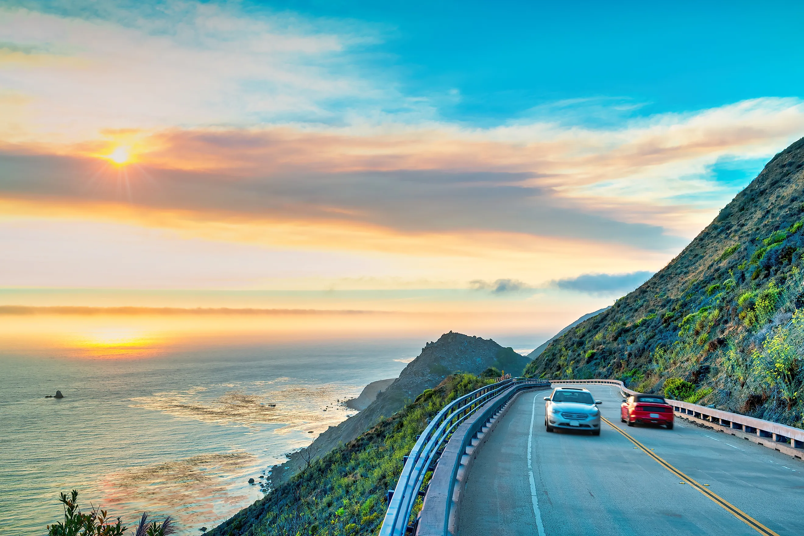
Highway 1 through Big Sur doesn't need much introduction to a Californian, nor does the town of Carmel. But the trip through Big Sur is popular for numerous reasons, and heading south from the walkable town once run by Clint Eastwood puts the Pacific Ocean beside the passenger side and makes the coastal pull-offs easier to use.
The highway finally reopened between Carmel and Cambria in January 2026, restoring continuous access through Big Sur for the first time in almost three years after a landslide had severed the route. That reconnection didn't hold uninterrupted through summer, though. The Timber Fire, which broke out in August 2026, forced a roughly two-week closure of Highway 1 near Julia Pfeiffer Burns State Park before through traffic was restored. Wildfire and slide activity are recurring facts of life on this coast, so it's worth checking Caltrans for active closures before committing to the drive.
Tourists peel off to photograph Bixby Creek Bridge, as seen in the opening sequence of HBO's Big Little Lies, but there's much more road ahead. Farther south, Sycamore Canyon Road turns off Highway 1 toward Pfeiffer Beach and its Keyhole Arch, where the opening in the offshore rock can line up with the setting sun at certain times of year. Continue down Highway 1, and Julia Pfeiffer Burns State Park comes later, followed eventually by Ragged Point and Cambria.

Cambria is substantial enough to make the end of the drive part of the trip rather than simply the place to turn around. Moonstone Beach has a one-mile boardwalk, while the 430-acre Fiscalini Ranch Preserve sits on both sides of Highway 1 and has more than eight miles of trails. The federally designated Big Sur Coast Highway is 72 miles (116 km) on its own, although continuing between Carmel and Cambria makes the trip roughly 100 miles. The Federal Highway Administration recommends allowing about five hours to experience it.
Redwood Highway: Leggett To Crescent City

Nearly 200 miles separate Leggett and Crescent City on US 101, enough for a full-day road trip and a better two-day one if the detours aren't rushed. Highway 1 ends at Leggett, providing a natural continuation north after Big Sur, but the driving changes quickly. US 101 becomes the backbone of the trip, with some of the best stretches happening whenever the route leaves it.
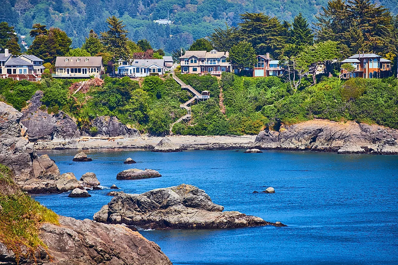
The biggest departure is Avenue of the Giants, a 32-mile section of old highway through Humboldt Redwoods State Park. It follows the South Fork Eel River and runs directly through the park's redwood forest before rejoining US 101 near Pepperwood. It isn't merely a stop for the redwoods. The trees grow immediately beside the old two-lane highway, and several trailheads and access points are reached directly from it. California State Parks says Humboldt Redwoods contains more than 17,000 acres of old-growth redwoods, including the world's largest remaining contiguous old-growth coast redwood forest.
Farther north, US 101 passes through Eureka and Trinidad before reaching the Redwood National and State Parks area. Around Prairie Creek, leaving the highway again makes a measurable difference. NPS notes that relatively few redwoods are visible from US 101 here, while the parallel Newton B. Drury Scenic Parkway spends 10 miles in old-growth forest and passes Elk Prairie, where Roosevelt elk are regularly seen.

Crescent City is the natural endpoint, with one optional slow finish before getting there. Howland Hill Road covers just 10 miles through Jedediah Smith Redwoods State Park but takes about 45 minutes because much of it is narrow and unpaved. Due to this, RVs and trailers should avoid this final tangent completely.
Sacramento-San Joaquin Delta Loop

There aren't many California road trips where missing a six-car ferry can mess with the afternoon. The J-Mack Ferry is actually part of SR 220, carrying traffic about 400 feet across Steamboat Slough. Nearby, the Real McCoy II takes SR 84 across Cache Slough to Ryer Island eight vehicles at a time. Both are free, both are operated by Caltrans, and neither is something to assume will be running without checking first. The J-Mack, for example, spent two months in dry dock for scheduled maintenance in 2026.
Together, the ferries can be worked into a roughly 100-mile loop from Sacramento, requiring about three hours of driving before stops. Take SR 160 south, and the suburban edges of Sacramento disappear fairly quickly. The highway gets onto the Sacramento River levee, with the river frequently right beside the pavement and pear orchards and vineyards spreading out on the other side. Courtland comes first, then Walnut Grove and Locke, where Main Street is only a few blocks long. Locke remains the only surviving U.S. town built exclusively by and for Chinese immigrants.
The Isleton Bridge has opened for boats on the Sacramento River since 1923, and three other movable bridges still operate along SR 160. By Rio Vista, the Sacramento River is broad enough that the 2,890-foot Rio Vista Bridge carries SR 12 high above it. This is also where the loop can turn back north through the islands rather than simply retracing SR 160.
Ryer Island has no ordinary highway bridge connecting it across Cache Slough. Instead, SR 84 simply rolls onto the Real McCoy II. The crossing is short, the ferry is small, and there may be seven cars ahead of you when it only holds eight. From there, levee roads cross agricultural islands before the J-Mack makes another tiny ferry crossing on the way back toward Sacramento.
Tioga Road: Yosemite Valley To Lee Vining

Tioga Road was originally called the Road to Broken Dreams, which is unusually dramatic for a highway name but fairly understandable. It was built for a silver-mining operation in 1883, covered 56.5 miles, and climbed to nearly 10,000 feet. But the mines never produced any silver. More than 140 years later, the road forms the high-country portion of an approximately 80-mile drive from Yosemite Valley to Lee Vining.
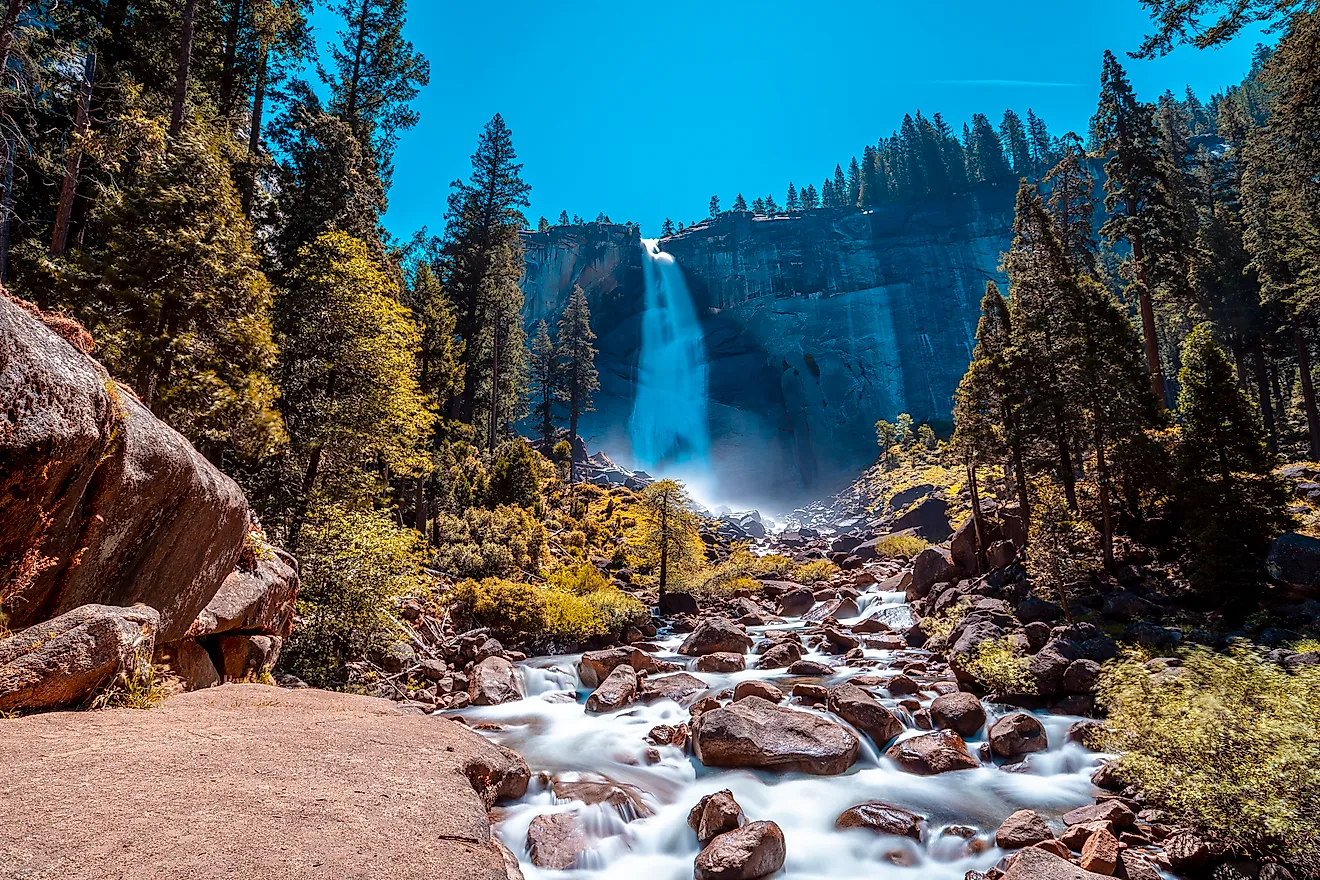
From the Valley, Highway 120 ascends to Crane Flat before the 47-mile Tioga Road crosses Yosemite's high country. Tenaya Lake has several parking areas directly along the road. Tuolumne Meadows comes at 8,600 feet before the road reaches 9,945-foot Tioga Pass and drops toward Lee Vining.

It should be noted that this road trip has a fairly unforgiving calendar. In 2026, Tioga Road opened May 15, its earliest opening in 16 years, but it typically doesn't open until late May or June and closes again around November. There is also no gas at Tuolumne Meadows. Instead, the nearest pumps are at Crane Flat or Lee Vining. Depending on stops, the crossing can take most of a day. Ending at Lee Vining also puts US 395 directly ahead, rather than sending the next road trip to some unrelated corner of the state.
US 395 Through The Eastern Sierra: Lee Vining To Lone Pine

The previous road trip comes down from Tioga Pass on Highway 120 and ends at US 395 in Lee Vining. Turn south and the next 120 miles or so to Lone Pine take a little over two hours without stopping. That's not how this drive is likely to go, though. The June Lake Loop alone adds 16 miles, leaving 395 north of Mammoth Lakes and meeting it again farther south.
After Mammoth, 395 continues through Bishop, Big Pine and Independence before Manzanar appears directly beside the highway nine miles north of Lone Pine. Its 3.2-mile self-guided driving route passes the original sentry posts, reconstructed Block 14, cemetery monument, gardens, orchards and remains of the incarceration center. It takes about one to two hours, so this is one stop that substantially changes the day's timing rather than a five-minute pull-off.

Lone Pine has another road waiting. At the town's stoplight, Whitney Portal Road runs west for 2.5 miles to Movie Road, which heads into the Alabama Hills on dirt roads below the Sierra. By that point, the nominal two-hour run down 395 has easily become a full-day road trip. From about late May or June to November, Lee Vining can be reached via the Tioga Road and driving across Yosemite from the west. But throughout the rest of the year it can be reached from the north via the Reno/Carson Valley area or from the south through Bishop and Mammoth Lakes.
Death Valley: Lone Pine To Furnace Creek

The turn for Death Valley comes almost immediately after leaving Lone Pine. SR 136 heads southeast along Owens Lake through Keeler before becoming SR 190, and from there the road starts doing things a map doesn't really prepare you for. It crosses the Darwin Plateau, drops toward Panamint Springs, then climbs again through the Panamint Range. Father Crowley Vista is right off the highway near that western entrance, with a parking area above Rainbow Canyon before SR 190 makes the long descent toward Panamint Valley.
That makes the roughly two-and-a-half-hour drive to Furnace Creek much less straightforward than the time suggests. Panamint Springs is one of only three places inside Death Valley with gas, along with Stovepipe Wells and Furnace Creek, and cell service disappears along most park roads. After another mountain crossing, Stovepipe Wells puts the car down near sea level. The Mesquite Flat Sand Dunes are only a few minutes farther along SR 190, with their parking lot directly beside the highway. The tallest dunes reach about 100 feet, but there is no designated trail once the car is parked.

Badwater Road heads south from the CA 190 junction, passing the turn for Artists Drive, a nine-mile paved one-way road that folds back onto Badwater Road. Keep going and Badwater Basin puts the car 282 feet below sea level. Suddenly the drive that began beneath the Sierra in Lone Pine has crossed Owens Lake, two desert valleys and the Panamint Range before ending at the lowest point in North America.
Route 66: Santa Monica To Needles

Route 66 turns 100 in 2026, and California contains roughly 345 miles of the original cross-country route. Driving it west to east also reverses the trip most people historically associate with the highway. Start at the Pacific in Santa Monica, and Los Angeles comes first, followed by Pasadena and San Bernardino before the buildings finally thin out and the Mojave Desert takes over. Stretch the full Santa Monica-to-Needles run across five days, and there's enough time to follow the old road rather than treating it as a race to the Arizona line.

Don't expect one continuous highway marked 66. The route was officially decommissioned in 1985, so driving it now means piecing together surviving alignments, city streets, and sections bypassed by the interstates. That's especially true through Los Angeles and Pasadena, where the highway's alignment changed over the years. By San Bernardino, though, the urban part of the trip is nearly done, and Barstow marks the beginning of a much emptier California.
Between Barstow and Needles, 178 miles of historic Route 66 form a National Scenic Byway, including roughly 150 miles through virtually undeveloped desert. National Trails Highway covers much of the old alignment, although it can't currently be driven uninterrupted. Flood damage and work on its aging timber bridges have left the section between Cadiz Road and Mountain Springs Road closed, requiring a detour onto I-40. Needles finally brings the highway to the Colorado River, with Arizona waiting across the state line.
Palm Springs To San Diego Through The Mountains

There is a 133-mile route between Greater Palm Springs and San Diego that barely resembles the usual freeway run between them. Pick up CA-74 in Palm Desert, not far from El Paseo, and the Coachella Valley starts falling away almost immediately. The highway gains thousands of feet in its first dozen or so miles, with several pull-offs looking back over Palm Desert and the Coachella Valley floor. This is the Palms to Pines Highway, and the name is unusually literal. Sand and creosote drop behind, pinyon and mountain country take over, and the road reaches the CA-371 junction near Anza.
CA-371 heads southwest through Anza to Aguanga, where CA-79 takes over for the run into San Diego County. The tight climb above Palm Desert is gone, replaced by ranchland and the higher country around Warner Springs. Lake Henshaw eventually appears beside CA-79 before the road reaches Santa Ysabel, where Julian is only a short detour east on CA-78. Stay on CA-79 instead, and the route continues south toward I-8 and San Diego. During this last leg, the inland mountains flatten into the much denser San Diego basin. The interstate can connect Palm Springs and San Diego faster, but it leaves most of Southern California in between them out of the drive.
Pacific Coast Highway South: Santa Barbara To San Diego

Driving straight from Santa Barbara to San Diego should only take about 3 and a half hours, but that's if you're not stopping at all of the beach towns along the way. If you're taking advantage of the roughly 218 miles between the two cities, this Southern California road trip can easily stretch across three, four, or five days. The first stretch south from Santa Barbara uses US 101, following the coast toward Ventura. Highway 1 becomes the familiar coastal road again through Malibu and Santa Monica, but Los Angeles makes any neat idea of "following the coast" considerably messier. There are freeways, traffic lights, beach roads, and places where getting five miles farther south can take considerably longer than the map suggests. Therefore, finding ways of making LA a stop along the way is recommended.
Orange County puts CA-1 back at the center of the drive through Huntington Beach, Newport Beach, and Laguna Beach. Crystal Cove is a legitimate reason to stop between the latter two. Its 46-cottage historic district sits below the Pacific Coast Highway, with the Pacific on one side of the cottages and the highway on the other. Farther south, CA-1 reaches its actual southern terminus at I-5 near Dana Point. However, the road trip doesn't end here. San Clemente, Oceanside, Carlsbad, Encinitas, and Del Mar still separate Orange County from San Diego.
Planning Your California Road Trip
Big Sur can fill a day without covering much more than 100 miles. Route 66 can take five days to work from Santa Monica to Needles, and the Southern California coast is worth three to five of its own. That still leaves the redwoods, Yosemite, the Eastern Sierra, Death Valley, and a pair of Delta ferries for your next California road trip.