6 National & State Parks In California You Have To Visit
Somebody is sleeping on the side of El Capitan right now. They dragged a bed 3,000 feet up a granite wall because the view from the ledge was worth it. Sensible people do strange things once they get inside a California park. They drive into a valley below sea level in a place named for death. They stand on a hot ridge for hours hoping a bird with a nine-foot wingspan glides past. These six parks are the reason.
Yosemite National Park

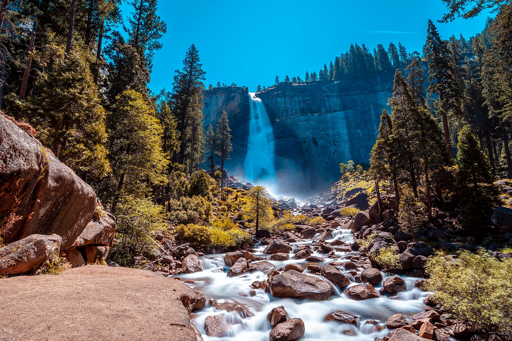
Congress made Yosemite National Park official in 1890, and hikers have been losing their composure over the view ever since. The park covers close to 759,000 acres of the Sierra Nevada in eastern California, and its calling card is Yosemite Valley. El Capitan and Half Dome rise straight up from the valley floor above the Merced River. Yosemite Falls drops 2,425 feet in three tiers, which makes it the tallest waterfall in North America and the loudest thing around once the high country melts in late spring.
Drive up to Glacier Point for the postcard panorama, or walk into Mariposa Grove, where some giant sequoias have been standing for over 2,000 years. The whole park is a UNESCO World Heritage Site, which is a fancy way of saying the world agreed it is worth keeping. Come on a spring weekday if you can, because summer traffic in the valley is its own kind of natural wonder.
Redwood National and State Parks

On the far northern coast, Redwood National and State Parks is where you will find the tallest living things on Earth. The coast redwoods here top 360 feet, and some of them sprouted before the fall of Rome. The combined parks cover about 139,000 acres of old-growth forest, wild beach, and salmon rivers, all stitched together under joint management since 1994.
Roosevelt elk graze the meadows, black bears patrol the understory, and the rare marbled murrelet nests high in the canopy. Walk the easy 1.5-mile Lady Bird Johnson Grove loop for the full cathedral feeling, or take the Newton B. Drury Parkway if your legs need a break. It is a UNESCO World Heritage Site too, and honestly the photos never do the scale justice.
Joshua Tree National Park
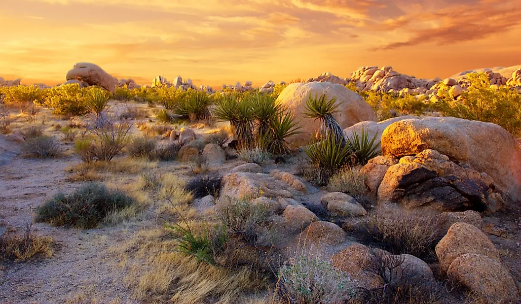
Where the Mojave and Colorado deserts meet, the scenery turns strange in the best way. Joshua Tree National Park covers nearly 800,000 acres, and its namesake yuccas look like they wandered out of a cartoon. Rock climbers come from all over for the granite boulder piles, while hikers tackle trails like Hidden Valley, Barker Dam, and Ryan Mountain. Desert tortoises and bighorn sheep live out here, along with old traces of ranching and mining if you know where to look.
After dark, stargazers take over. It is a certified International Dark Sky Park with some of the clearest night skies in Southern California. You can reach the entrance in about two hours from Los Angeles and under an hour from Palm Springs, so a weekend trip is easy to pull off.
Death Valley National Park

If Joshua Tree is strange, Death Valley is downright extreme. This is the largest national park in the contiguous United States at over 3.4 million acres, and the record book here is almost comical. Badwater Basin sits 282 feet below sea level, the lowest point in North America. The hottest air temperature ever officially recorded on Earth, 134 degrees Fahrenheit, happened right here at Furnace Creek in 1913.
Come in the cooler months, when the park is actually pleasant to explore. Wander the Mesquite Flat sand dunes at sunrise, catch the color show at Zabriskie Point, or stand on the salt flats and look up at a sea-level sign hanging far above your head. In a rare wet spring, wildflowers erupt across the basin in a superbloom worth planning a trip around. As the crow flies, the highest point in the Lower 48, Mount Whitney, sits under 90 miles away, which is a fun bit of geographic whiplash.
Pinnacles National Park

Here is California's newest national park, and probably its most underrated. Congress gave Pinnacles National Park full park status in 2013, decades after it first became a national monument in 1908. The rock spires here are the eroded leftovers of a volcano that erupted about 23 million years ago. Then the San Andreas Fault split the volcano in two, and the western half has crept about 195 miles northwest since, which is the piece you hike through today.
This is one of the best places anywhere to spot endangered California condors, released here since 2003 and now soaring overhead on nine-foot wingspans. Scramble through the talus caves at Bear Gulch and Balconies, climb the crags, then push up the High Peaks trail for the big views. Just know the east and west entrances do not connect by road inside the park, so pick your side before you go.
Julia Pfeiffer Burns State Park

Save the coast for the grand finale. Julia Pfeiffer Burns State Park sits on the Big Sur cliffs about 37 miles south of Carmel. It is named for Julia Pfeiffer Burns, a real Big Sur rancher and pioneer, not a landmark. The star is McWay Falls, an 80-foot waterfall that pours over a granite cliff straight onto the sand of a secluded cove. At high tide it lands in the Pacific instead, which is why it looks a little different in every photo.
A short, wheelchair-accessible overlook trail leads right to the postcard view, and you cannot actually climb down to the beach, which somehow makes it better. One heads-up for 2026: the Timber and Plaskett fires closed the Big Sur state parks in August and September, and while Highway 1 and the day-use areas have reopened, the backcountry trails east of the highway remain closed for fire recovery. Check current conditions before you point the car south.
One State, Six Wildly Different Days Outdoors
Here is what makes California almost unfair. You can stand under the tallest trees on Earth and, a day later, walk the lowest and hottest ground in North America. One of these parks is older than the National Park Service, and another is barely a teenager. The birds at Pinnacles have nine-foot wingspans, while the waterfall at Big Sur lands on a beach you will never touch. Pick whichever one sounds the most fun and start there. You can always come back for the other five.