What Lies At The Bottom Of Lake Michigan
The bottom of Lake Michigan holds three broad classes of objects. Two of them are the result of human activity, namely shipwrecks, and objects that were either left on land that later flooded, or were lowered into the water deliberately. The third class is natural, a field of depressions in the lakebed that scientists have not yet explained.
Lake Michigan is the only Great Lake lying entirely within the United States and the second-largest of the five by volume. The Great Lakes together hold roughly a fifth of the world's surface freshwater. What sits on the bottom matters well past curiosity, because those lakes supply drinking water to about 10% of the US population and roughly 30% of Canadians, and the storms that make Lake Michigan hazardous to sail are the same ones that put most of the wreckage there. Less than 15% of the lake's floor has been surveyed in detail, so the current inventory is a sample rather than a full account. The sections below take the three classes in order of how well documented each one is. Every find named here is confirmed by a published survey or a recorded dive.
Lake Michigan

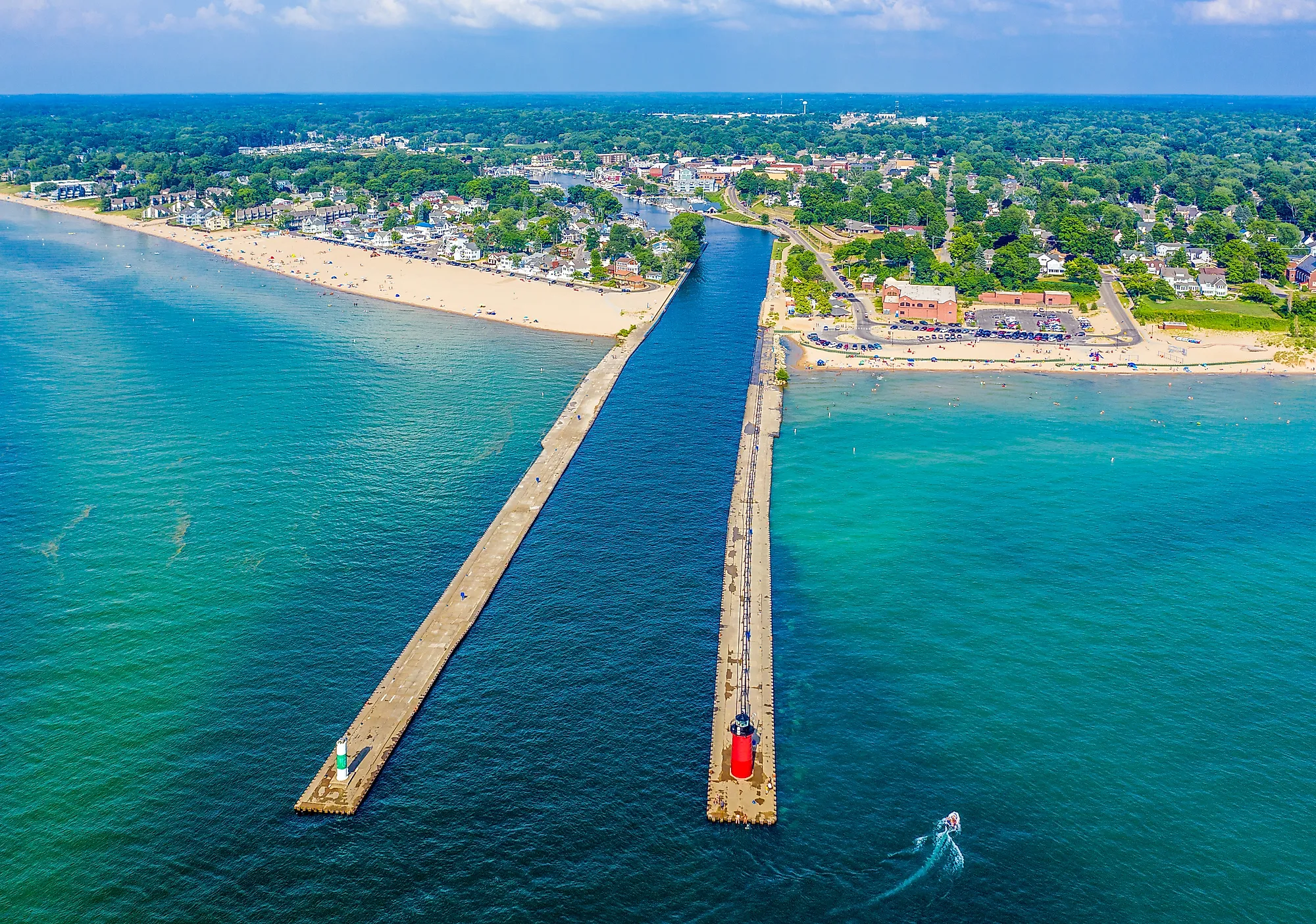
Lake Michigan ranks third among the Great Lakes by surface area and second by volume, behind Lake Superior on both counts. It covers 22,300 square miles (57,800 sq km) and runs 307 miles (494 km) north to south. At its widest, the lake measures 118 miles (190 km) across. Ojibwe speakers call it mishigami, meaning large water, and the name passed from the lake to the surrounding territory and eventually to the state of Michigan. The northern basin sits in the colder and less developed upper Great Lakes country, with the Fox River valley around Green Bay and Appleton the main populated exception.

The southern basin runs a different way. Wisconsin lines its western shore and Michigan its eastern one, with Illinois and Indiana closing the southern end, and both Milwaukee and Chicago sit on that stretch. It is the most heavily urbanized shoreline on any of the Great Lakes, and the lake's 45,600-square-mile (118,100 sq km) drainage basin reaches into all four bordering states. Below all of it, water averaging 279 feet (85 m) deep and reaching 923 feet (281 m) at its deepest point has swallowed vessels and objects for as long as people have been on the lake. The origin of some of those objects is still unresolved.
Shipwrecks

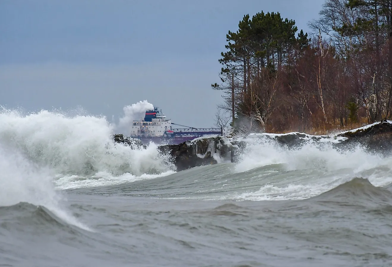
Unpredictable weather and heavy commercial traffic have made losses on the Great Lakes a constant for two centuries. Roughly 6,000 vessels are thought to have gone down across the five lakes, and about a quarter of those were lost in Lake Michigan, though only a few hundred of them have actually been located. The ones that have been found now draw divers and archaeologists. Cold fresh water slows the decay that would destroy a hull in the ocean, and the shallower wrecks are reachable by snorkel or scuba, with a handful visible from the surface. Many now carry formal protection.

The Wisconsin Shipwreck Coast National Marine Sanctuary covers 962 square miles (2,490 sq km) of Lake Michigan off the Wisconsin coast. It was designated in 2021 with 36 known wrecks inside its boundaries, the earliest sinkings dating to the 1830s and the latest to 1930. Archival research points to roughly 60 more that have never been located. The best known of them is the Rouse Simmons, a three-masted schooner built in Milwaukee in 1868 and remembered as the Christmas Tree Ship for the loads of evergreens it hauled down to Chicago each December. It went down in a gale on November 23, 1912, with the loss of everyone aboard. Trees from the cargo washed up along the Wisconsin shore for years afterward. Milwaukee diver Kent Bellrichard located the wreck in 1971, sitting upright in 165 feet (50 m) of water about 12 miles (19 km) northeast of Two Rivers, with the cargo of trees still in the hold.
Historic Objects

Ships are not the only human-made objects on the bottom. Some of what lies down there predates the lake in anything like its present shape, from a period several thousand years ago when water levels were far lower, and stretches of the modern lakebed were dry ground that people hunted across. In Grand Traverse Bay, on the northwest shore of Michigan's Lower Peninsula, underwater archaeologist Mark Holley recorded a line of stones running more than a mile across the sandy bottom about 40 feet (12 m) down while surveying for shipwrecks in 2007. Holley has proposed that it may be a drive line, a stone corridor built to funnel caribou toward waiting hunters. Other archaeologists who have dived the site are not persuaded that the arrangement is human-made at all. The question remains open. The firmer case sits in Lake Huron, which joins Lake Michigan through the Straits of Mackinac and shares its water level. There, on the Alpena-Amberley Ridge about 120 feet (37 m) down, archaeologists have documented the Drop 45 Drive Lane, paired lines of stone built roughly 9,000 years ago to funnel game.

A far more recent object rests in Little Traverse Bay off Petoskey. An 11-foot (3.4 m) white marble crucifix weighing close to a ton was carved in Italy in 1956 for a grieving Michigan family whose teenage son had died, but it arrived damaged, and the family refused it. The Wyandotte-based Superior Marine Divers Club bought the statue and lowered it into 65 feet (20 m) of water in August 1962 in memory of a club diver who had drowned, later rededicating it to everyone lost on the water. Divers raised and relocated it in 1985 to its present position, roughly 800 feet (240 m) offshore in about 20 feet (6 m) of water. The Little Traverse Bay Dive Club has held public winter viewings through a hole cut in the ice most years since 1986, when conditions allow.
Sinkholes

Not everything unexplained at the bottom of Lake Michigan is human-made. In 2022, a NOAA team running sonar surveys across the Wisconsin Shipwreck Coast National Marine Sanctuary picked up a line of large circular depressions about 14 miles (23 km) southeast of Sheboygan, extending south toward Port Washington. A shipwreck hunter working the same water spotted them at nearly the same time. Roughly 40 of them sit about 450 feet (137 m) below the surface, each measuring between 300 and 600 feet (91 and 183 m) across. A remotely operated vehicle went down for a closer look in August 2024. It found them lightless and nearly free of oxygen, with water near 38 degrees Fahrenheit (3 degrees Celsius). They are inhabited even so; opossum shrimp, quagga mussels, deepwater sculpin, and bacteria all turned up inside. Conditions that extreme normally require a trip to Antarctica or a deep-sea vent, which is much of why the site matters to researchers.

The low-oxygen water inside the craters also resembles conditions on the early Earth, before the atmosphere carried much free oxygen, which makes the microbial communities living there a rough analog for some of the planet's oldest life. How the craters formed is a separate and still open question. The leading explanation is that they are true sinkholes, formed where groundwater dissolved the limestone bedrock under the lake until the resulting caverns collapsed, a process already confirmed behind similar depressions in Lake Huron. Competing accounts point to glacial scouring or to gas and groundwater forcing its way up through the sediment, and none has been ruled out.
Reading The Lakebed
The three classes of find rest on very different footing. The sanctuary wrecks are cataloged and dated, and many are listed on the National Register of Historic Places. The stone line in Grand Traverse Bay is still debated by the archaeologists who have seen it, and the Sheboygan craters have no agreed-upon explanation at all. What links them is the lake itself, which is cold and deep enough to destroy very little and wide enough to hide almost everything. With less than 15% of the Great Lakes floor surveyed in detail, every new sonar pass across Lake Michigan has so far turned up something the last one missed.