What Happened To Owens Lake After Los Angeles Drained It
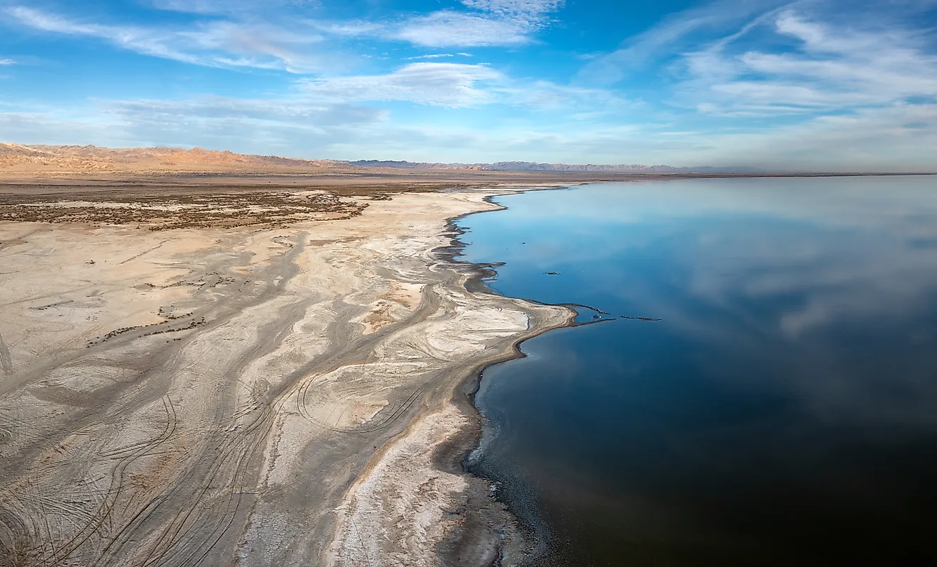
Owens Lake had held water continuously for something like 800,000 years. It took Los Angeles thirteen years to empty it. What happened next is the part worth knowing. The dry lakebed did not simply sit there being empty. It became the single largest source of dust pollution in the United States, then the target of the most expensive dust control project ever attempted, and then, without anybody planning it, one of the most important shorebird sites in the American West.
What Was Actually There

The lake sat at the bottom of the Owens Valley in Inyo County, about five miles south of Lone Pine, catching everything the eastern Sierra Nevada shed. Mount Whitney, the highest peak in the lower 48, stands about 15 miles west of the old shoreline. The Owens River runs 183 miles and ended there, in a basin with no outlet to the sea.
At its maximum extent, it spanned approximately 110 square miles, measuring about 17 miles long and 10 miles wide. In recent centuries, its depths ranged from around 23 to 50 feet, and during the wettest years, it overflowed southward toward the Mojave.
It was a functioning lake where steamers transported silver bullion from the Cerro Gordo mines across the water to Keeler on the eastern shore, shortening the journey by days compared to the wagon route. Migrating birds stopped here along the Pacific Flyway, and a soda processing industry utilized the minerals along the shoreline.
The names are worth recording, because the ones on the map came last. The Owens Valley Paiute called the lake Patsiata. The valley itself is Payahǖǖnadǖ, which translates roughly as the place of flowing water. The lake takes its current name from Richard Owens, a guide to the explorer John C. Frémont. Owens never set foot in the valley.
Thirteen Years To Empty

The Los Angeles Aqueduct opened on November 5, 1913. Around 30,000 people gathered at the Cascades in the San Fernando Valley to watch William Mulholland send Owens Valley water down the chute into Los Angeles, 200 miles away.
The lake did not vanish overnight. Valley farmers had already been drawing down the tributaries, and the level had been slipping before the aqueduct existed. But the diversion changed the arithmetic completely, and by 1926 Owens Lake was a salt flat.
Valley residents fought it, including by dynamiting sections of the aqueduct in the 1920s. They lost. The conflict became the loose inspiration for the 1974 film Chinatown, which is how most Americans have encountered the story, generally without realizing the lake was real and is still there.
Then The Lakebed Started Blowing Away

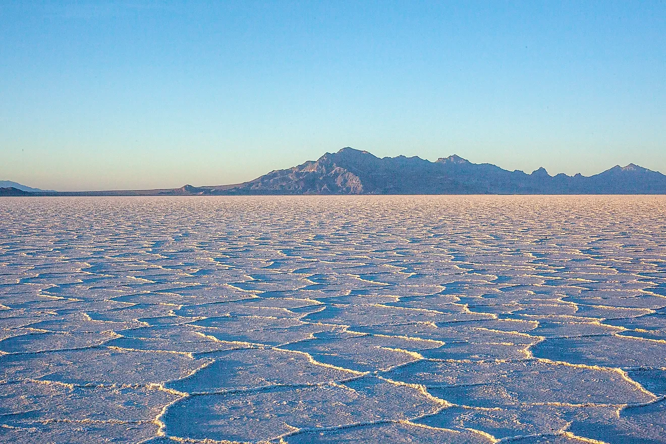
Here is the consequence nobody in 1913 was calculating. A dry alkali playa in a windy valley does not stay put.
The exposed bed emerged as the country's biggest single source of PM10 particulate pollution. PM10 particles are under ten microns in size, small enough to penetrate deep into the lungs. Annual estimates of this pollution start at about 900,000 metric tons and are much higher. Researchers determined that losing this amount of material would cause the lakebed's surface to lower by a tiny fraction of an inch each year.
The dust is not inert. It carries arsenic, cadmium, and nickel, along with sodium, chlorine, sulfur, and other elements concentrated by evaporation over millennia. Residents around the lake had their own term for it long before regulators arrived. They called it Keeler fog, after the town on the eastern shore, and it seeped into every crack in every house.
Keeler, which once had a steamer dock, is now down to a few dozen people.
The Bill Came Due

Dust from Owens Lake caused the southern Owens Valley to exceed federal air quality standards, giving the Great Basin Unified Air Pollution Control District a legal tool that decades of local anger had not secured.
Following extensive litigation, Los Angeles was mandated in 1998 to manage dust control. A 2004 court order directed the city to restore a minor flow to the lake, and by 2006, approximately five percent of the historic flow was reintroduced via the Lower Owens River Project. The current operational framework is outlined in a State Implementation Plan approved by the EPA in 2016.
What Fixing It Actually Cost

The scale of the remedy is difficult to overstate.
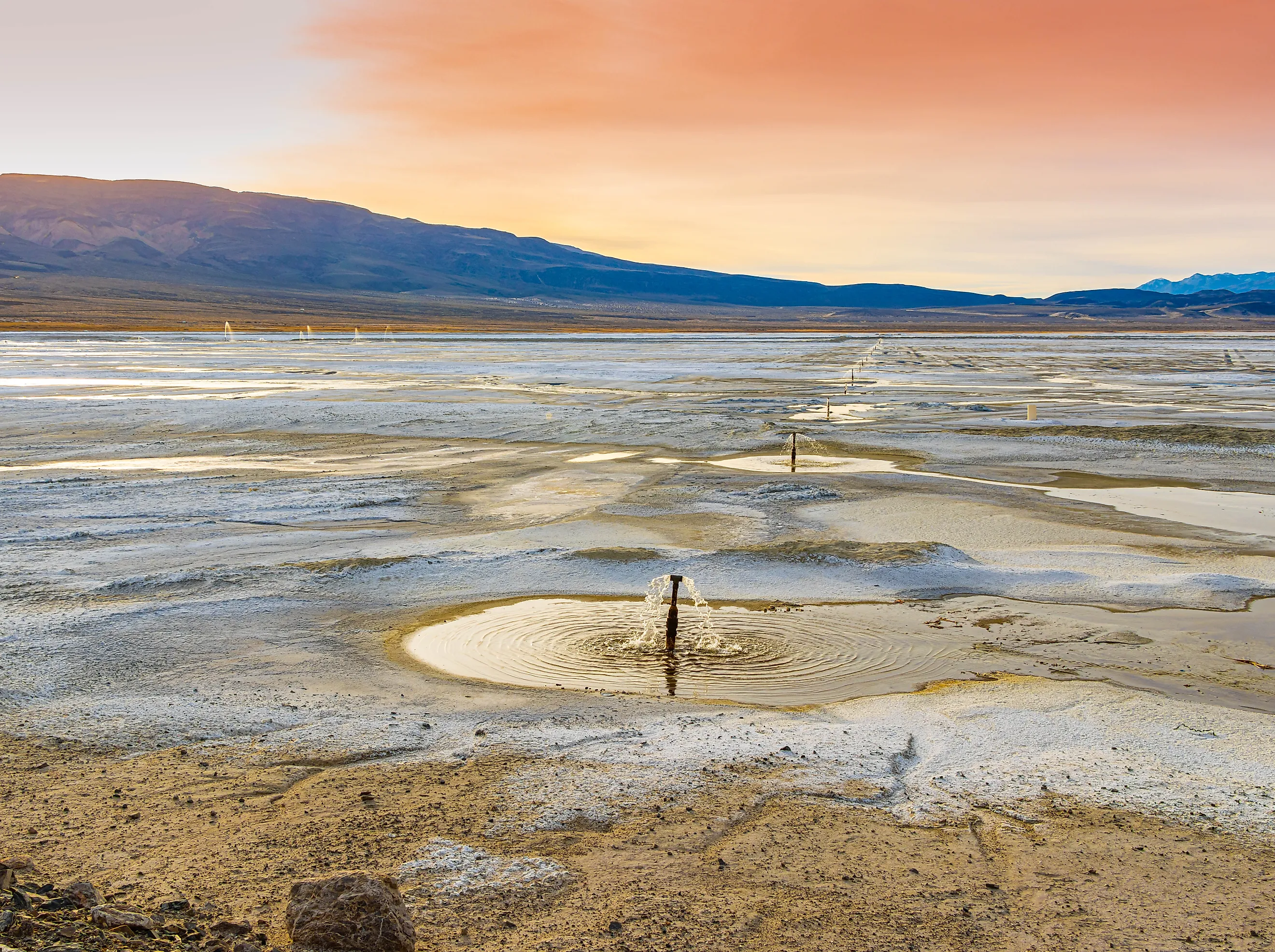
Since 2000, the Los Angeles Department of Water and Power has implemented federally approved dust control strategies over 48.6 square miles of lakebed. These include shallow flooding, managed vegetation, gravel cover, tillage, and brine, with shallow flooding making up about 60 percent of the total. Operating this system requires one of the largest shallow flooding networks globally, featuring computer-controlled valves, pipes, outfalls, and sprinklers spread across an ancient lakebed.
The results are clear. Lake emissions totaled approximately 62,377 tons in 2000, but dropped to 355 tons in 2023. This marks a 99.4% decrease, with dust now primarily released during intense windstorms.
The cost is what deters many people. LADWP estimates that ratepayer spending on the project exceeds $2.5 billion, while Audubon projects total mitigation costs will approach $3.6 billion by 2025. The system's operation requires about 60,000 acre-feet of water annually, which LADWP says could serve around 240,000 single-family homes.
Read that last number again. Los Angeles drained the lake to obtain water, and now allocates a significant portion of that water to replenish it, solely to keep the lakebed lowered.
Then The Birds Came Back

Nobody built the shallow flooding cells for wildlife. They were built to hold dust down. Birds found them anyway.
More than 100,000 shorebirds now use Owens Lake each year. The site regularly holds at least one percent of the biogeographic populations of American Avocet and Least Sandpiper, and of the interior and Gulf Coast population of Snowy Plover. Western and least sandpipers stage there in spring before flying north to breed on the Alaskan and Canadian tundra. The birds are feeding on brine shrimp and alkali flies that colonized the engineered ponds.
In 2014 a coalition including Audubon California, Eastern Sierra Audubon, tribal representatives, industry, and state and federal agencies worked with Los Angeles on a master plan to manage the lake for habitat and dust control together rather than treating birds as an accident. In 2018 Owens Lake was designated the 104th site in the Western Hemisphere Shorebird Reserve Network.
The timing matters more than it might appear. Saline lake habitat across the Great Basin is shrinking, and regional shorebird populations have fallen by around 70 percent. A set of dust suppression ponds has become genuinely important to birds that never asked how it got there.
What Owens Lake Is Now

It is not a lake and it is not a ruin. It is a machine.
Roughly 49 square miles of the old bed are actively managed surface, watered and tilled and graveled on a schedule, monitored by satellite imagery to confirm that vegetation cover holds above its minimum threshold. The water arrives through pipe rather than through the Owens River. The birds that use it are living on infrastructure.
Whether that counts as restoration is a fair argument. The original lake is gone and is not coming back, since the water that would refill it is committed to a city of four million people in California. What exists instead is a permanent, expensive, engineered apology, and one of the few places where you can stand and see exactly what a century of water policy costs, itemized.