The US States That Would Fit Inside Lake Superior
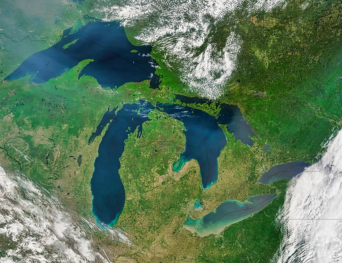
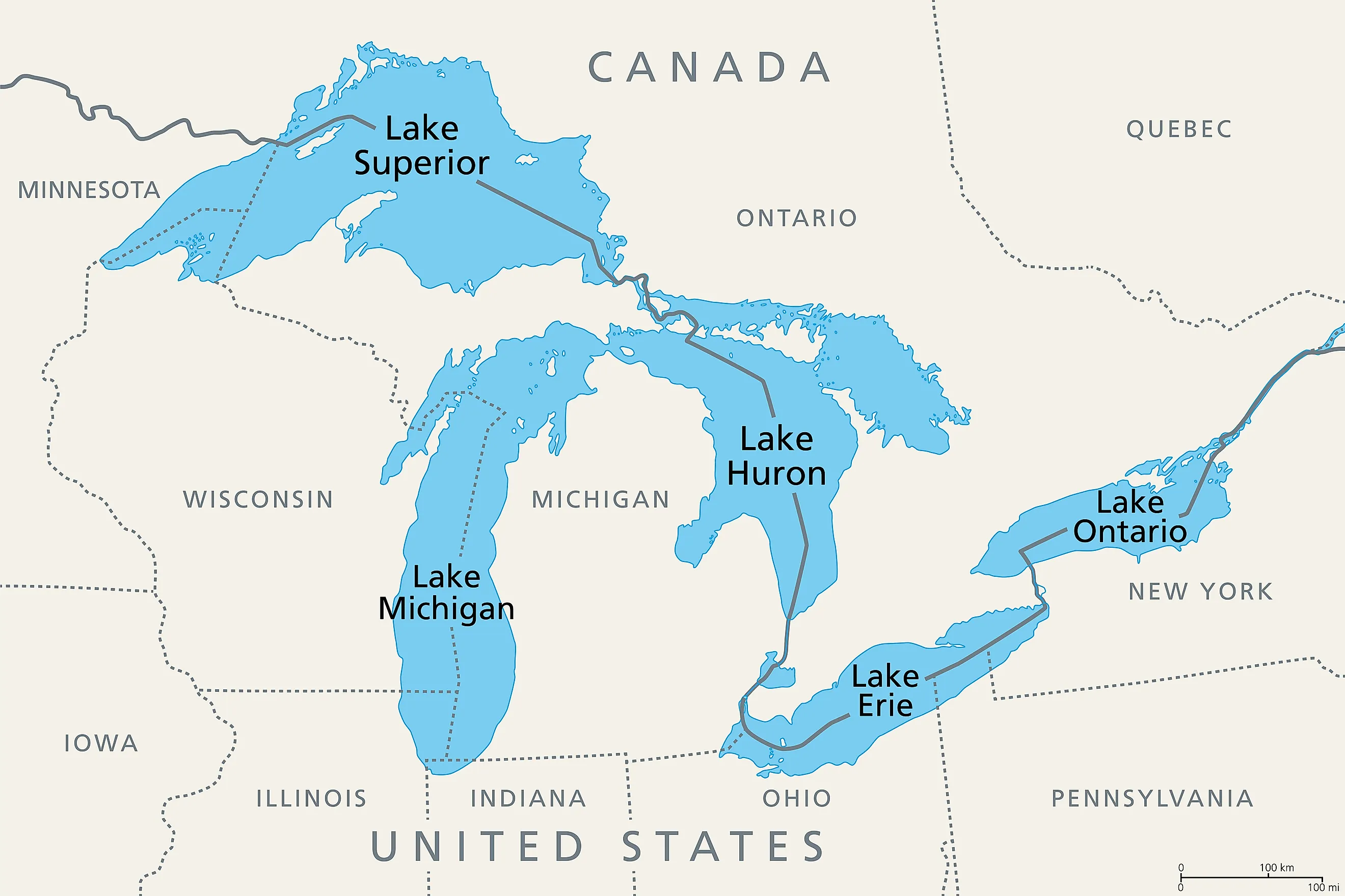
Lake Superior is the largest freshwater lake on Earth by surface area at 31,700 square miles. That covers about as much ground as the entire state of South Carolina. The lake stretches roughly 350 miles east to west and 160 miles north to south. A surface that vast is hard to picture without laying familiar shapes across it. So consider the US states small enough to fit inside it.
Ten of them come in under Lake Superior by area, several many times over. Rhode Island would fit more than 20 times. Massachusetts and New Jersey each disappear into a corner of it. Hawaii slips inside too, though only once its islands are gathered into one landmass. West Virginia is the odd case, smaller than the lake yet too broad across to actually nest within its shoreline. Here is how all ten measure up.

Fitting the States Inside Lake Superior
The table lists each state by total area, how many times that area fits inside the lake's 31,700-square-mile surface, and whether the state's actual outline could sit inside the shoreline. Nine of the ten pass both tests. West Virginia is the exception, and it sits at the bottom of the table because its story is a little different from the rest.
| State | Total area (sq mi) | Times its area fits | Outline nests inside? |
|---|---|---|---|
| Maryland | 12,406 | 2.6 | Yes |
| Hawaii | 10,932 | 2.9 | Yes (only with gaps removed) |
| Massachusetts | 10,554 | 3.0 | Yes |
| Vermont | 9,616 | 3.3 | Yes |
| New Hampshire | 9,349 | 3.4 | Yes |
| New Jersey | 8,723 | 3.6 | Yes |
| Connecticut | 5,543 | 5.7 | Yes |
| Delaware | 2,489 | 12.7 | Yes |
| Rhode Island | 1,545 | 20.5 | Yes |
| West Virginia | 24,230 | 1.3 | No (too broad) |
Massachusetts (10,554 sq. miles)

Massachusetts is one of the country's heavyweight states despite its size. It is a major New England state, officially a Commonwealth, and home to more than 7 million people. It is also the most educated of all US states, ranking first by the percentage of residents 25 and older who hold a bachelor's or advanced degree. At about 190 miles east to west and 110 north to south, its outline drops comfortably inside the lake, and its area fits three times over with enough water left for a cold bath.
Vermont (9,616 sq. miles)

Vermont is part of the New England region, known for its rolling mountains, forested landscapes, and small towns. It is home to more than 100 nineteenth-century covered wooden bridges and is a major producer of maple syrup. At 159 miles long and 89 miles wide it turns easily inside the shoreline, and its area fits more than three times over.
New Hampshire (9,349 sq. miles)

New Hampshire is home to the White Mountains and Mount Washington, the tallest peak in the US northeast at 6,288 feet. The summit recorded a 231-mile-per-hour gust in 1934, which stood as the world record for surface wind speed for more than 60 years and remains the fastest ever measured at a staffed weather station. That is something Lake Superior and its own violent storms can relate to. Narrow and about 190 miles long, the state nests inside the lake lengthwise, and its area fits almost 3.5 times.
Connecticut (5,543 sq. miles)

Connecticut has a maritime history that Lake Superior would appreciate. Located in southern New England, it has navigable shorelines totaling 618 miles. The city of Mystic is famed for its Seaport museum filled with centuries-old ships. On Long Island Sound, the city of New Haven is home to Yale University and its acclaimed Peabody Museum of Natural History. Compact in every direction, it settles well inside the lake, and its area fits almost six times over.
Rhode Island (1,545 sq. miles)

Rhode Island is the smallest state in the United States, yet it punches above its weight in American history, maritime culture, and population density, with about 1.1 million residents in its tiny footprint. Known as the Ocean State, it has more than 400 miles of coastline with sandy shores and colonial towns. About 48 miles top to bottom, the whole state would vanish into a single bay of Lake Superior, with its area fitting more than 20 times over.
Maryland (12,406 sq. miles)

Maryland is a Mid-Atlantic state defined by its abundant waterways and its coastlines on the Chesapeake Bay and Atlantic Ocean. It is long and narrow, roughly 199 miles across but only 126 miles top to bottom, which is just under the lake's widest point. Laid along the lake's east-west axis it slips inside with room to spare, and its area fits about 2.6 times over.
New Jersey (8,723 sq. miles)

New Jersey is a northeastern US state with 130 miles of coastline on the Atlantic Ocean. That is impressive until you set it against Lake Superior's shoreline, which spans 2,726 miles including its islands and runs longer than the entire east coast of the US. The Jersey Shore still claims notable resort towns like historic Asbury Park and Cape May. Only about 70 miles wide, the Garden State nests easily, and its area fits more than 3.5 times.
Delaware (2,489 sq. miles)

Delaware is a small mid-Atlantic US state that sits on a peninsula marked by dune-backed beaches. They are not unlike Lake Superior's own sandy stretches such as Agawa Bay in Ontario or Miners Beach in Michigan, though much of the lake's shoreline is rocky and rugged. Delaware is known as the "First State" because it was the first to ratify the US Constitution in 1787. Barely 96 miles long, the whole state fits inside the lake more than 12 times over.
Hawaii (10,932 sq. miles)

The entire Hawaiian archipelago consists of 137 islands, including atolls, small islets, and reefs stretching 1,500 miles across the Pacific Ocean. When most people think of Hawaii, though, they are picturing the eight main islands at the southeast end of the chain: Hawaii, Maui, Oahu, Kauai, Molokai, Lanai, Niihau, and Kahoolawe. As a strung-out 1,500-mile chain the islands would run far past the lake's length, but gathered into a single landmass their combined area fits almost three times over.
West Virginia, the One That Does Not Fit (24,230 sq. miles)

West Virginia is an eastern US state in the tree-covered Appalachian Mountains. The town of Harpers Ferry, where the Shenandoah River meets the Potomac River, is the site of a famous Civil War-era raid. Surrounded by a national historical park, the town looks as it did in the 19th century, with many of its buildings open to the public as living-history museums. Here is where the two tests part ways. West Virginia's 24,230 square miles are smaller than the lake, so by area it fits with room to spare. Its outline is another matter. The state runs about 265 miles east to west and 237 miles north to south, and that 237-mile span is wider than Lake Superior at its broadest 160 miles. Turn the shape any way you like and it still overhangs the shoreline, which makes West Virginia the one state here that is smaller than the lake yet cannot actually be dropped inside it.
The Greatest of the Great Lakes
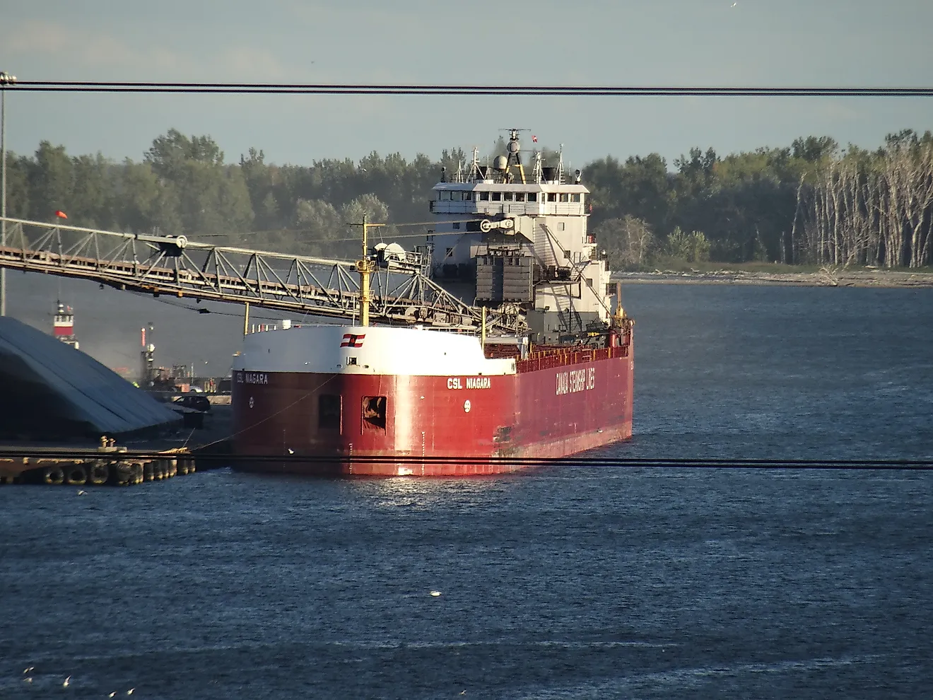
Read purely by area, all ten states are smaller than Lake Superior. Read by shape, only nine could truly drop inside the shoreline, since West Virginia is broader north to south than the lake is at its widest. The same catch explains why South Carolina, at 32,020 square miles, comes within about 1 percent of the lake's area yet is a poor fit in practice. Even so, the four narrow New England states of New Hampshire, Vermont, Connecticut, and Rhode Island could all sit inside at once and still leave roughly 5,600 square miles of open water. Holding that much of the country within its outline is a remarkable feat for an inland freshwater lake. For everyday purposes, though, it is Lake Superior's role in supporting aquatic and shoreline ecosystems, drinking water, and shipping that truly marks it as the greatest of all the Great Lakes.