The 10 Longest Rivers in the United States
Ask a simple question, what is the longest river in the United States, and you will not get a simple answer. Measure a little differently and the numbers slide by hundreds of miles. Count two rivers as one and the whole leaderboard reshuffles. Trace a river past the border into Mexico or Canada, or stop counting at the state line, and the rankings shift again. So here is the ground rule before we start: these lengths follow the US Geological Survey, measured the full way, source to mouth, and we treat the Missouri and the Mississippi as two separate rivers rather than one giant system. Fair warning, other reputable sources will hand you different figures. Here are the ten longest, and the argument hiding inside each one.
1. Missouri River - 2,540 Miles

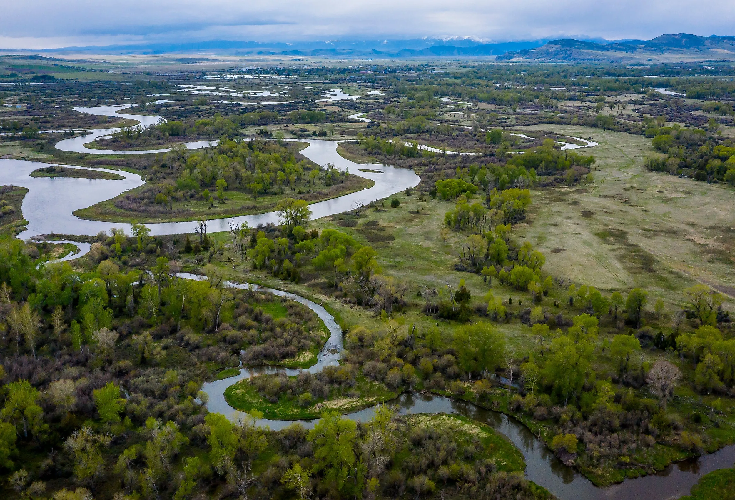
Here is the twist that starts every argument about American rivers: the longest one is technically a tributary. The Missouri begins where three mountain streams meet in Montana, the Jefferson, Madison, and Gallatin, then runs 2,540 miles through seven states before slipping into the Mississippi just north of St. Louis. That makes it the Mississippi's biggest tributary. Splice the two together and you get the Missouri-Mississippi system, more than 3,700 miles of water and the fourth-longest river system on Earth. We are counting them as two separate rivers here, which is why the Missouri claims the top spot on its own. Combine them, and this whole list would look different.
They do not call it "Big Muddy" for nothing. The Missouri hauls staggering loads of silt off the Great Plains, enough to tint the water a deep brown that first-time visitors sometimes mistake for pollution. It is just the river doing what it has always done, carrying the middle of the continent downstream one grain at a time.
2. Mississippi River - 2,340 Miles

If the Missouri wins on a technicality, the Mississippi wins on everything else. It runs 2,340 miles from a modest outlet at Lake Itasca in the Minnesota woods to the Gulf of Mexico, touching ten states on the way down. Mark Twain called it the body of the nation, and the label stuck because it is basically true.
This is the workhorse of the American economy. Barges on the Mississippi move more than 500 million tons of cargo a year, including the majority of the country's grain exports, and the river system drains roughly 40 percent of the continental United States. Straighten it, dam it, wall it off with levees, and it still does the heavy lifting for a huge slice of the nation's trade.
3. Yukon River - 1,980 Miles

The Yukon is the wild card, and the answer really does depend on where you start counting. It rises in the mountains of northern British Columbia, cuts across the Yukon Territory, then arcs northwest through Alaska before emptying into the Bering Sea, about 1,980 miles start to finish. Much of that run sits in Canada, not the US, so, exactly like the Rio Grande coming up next, we count the whole river rather than just the American stretch. Do that, and it lands third.
And it is punishingly remote. The coldest temperature ever recorded in North America, roughly -81 F (-63 C), was logged in the Yukon's basin at Snag back in 1947. The river spends most of its length far from any road, which is exactly why its salmon runs and its scenery have pulled people north for more than a century, Gold Rush stampeders and modern paddlers alike.
4. Rio Grande - 1,900 Miles

Here is where measurement really matters. Depending on the source, the Rio Grande runs anywhere from about 1,760 to 1,900 miles, because rivers get re-surveyed, channels shift, and everyone rounds a little differently. We are using the USGS figure of roughly 1,900 miles, measured the whole way, starting in Colorado's San Juan Mountains and ending at the Gulf of Mexico. And this is the key part: we count the entire river, not just the American piece, because for about 1,250 of those miles the Rio Grande is not inside the United States at all. It is the border, dividing Texas from the Mexican states of Chihuahua, Coahuila, Nuevo Leon, and Tamaulipas.
It is also one of the hardest-working and most-fought-over rivers in the country. So much water gets pulled out for farms and cities that in 2001 the Rio Grande did something it had never done in recorded history: it failed to reach the Gulf at all, petering out in a sandbar short of the sea. Some stretches are now so depleted that people have taken to calling it the Rio Sand.
5. Arkansas River - 1,460 Miles

Do not let the name fool you, the Arkansas River is a Colorado creation. It starts high in the Rocky Mountains near the Continental Divide and drops 1,460 miles through Kansas and Oklahoma before it finally reaches the state that shares its name and pours into the Mississippi. That descent is why the upper Arkansas is a whitewater magnet: the Royal Gorge run in Colorado throws rapids at kayakers and rafters that the wide, flat lower river gives no hint of. Come down off the mountains and the same water turns calm enough to canoe.
6. Colorado River - 1,450 Miles

No river in the West does more with its water than the Colorado. Over 1,450 miles it drops out of the Rocky Mountains and through the red-rock canyon country of the Southwest, the only river on this list that drains toward the Pacific, emptying, in theory, into the Gulf of California. In practice it rarely gets there anymore. Cities and farms drink it down first: Las Vegas, Phoenix, Los Angeles, and roughly 40 million people across seven states and Mexico lean on Colorado River water, even when they do not sit anywhere near its banks.
Its most famous work is written into the ground. Over millions of years, the Colorado carved the Grand Canyon, grinding down through layer after layer of rock to open one of the deepest gorges on the planet. Few rivers anywhere have left a bigger mark on the map.
7. Red River - 1,290 Miles

Not to be confused with the Red River up on the North Dakota-Minnesota line, this southern Red River is another Mississippi tributary, and it earns its name honestly: red dirt and sediment stain the water a muddy rust color. For decades it was nearly impossible to travel, thanks to the Great Raft, a colossal logjam that clogged more than 100 miles of channel until Captain Henry Shreve spent years clearing it in the 1830s. Only then did settlers push in. At 1,290 miles, the river still runs quiet out west and turns busy as it nears the Mississippi.
8. Brazos River - 1,280 Miles

The Brazos is the longest river in Texas, and it doubles as a lesson in how slippery these rankings really are. Measure only the main stem, from where the Salt Fork and Double Mountain Fork meet out on the Texas plains, and you get 840 miles. Trace it back to its true headwater at Blackwater Draw in eastern New Mexico, the way the USGS does, and it runs 1,280 miles, which is exactly why it edges onto this list just ahead of the Columbia. Spanish explorers who found its water when they were nearly dead of thirst named it Rio de los Brazos de Dios, the Arms of God. It also earned a starring role in history: Stephen F. Austin planted his first colony along the lower Brazos in the 1820s, and Texas declared independence from Mexico at Washington-on-the-Brazos in 1836, a spot still called the birthplace of Texas. These days it runs past Waco, fills reservoirs like Possum Kingdom and Lake Whitney, and carries more sediment to the Gulf than any other river in the state.
9. Columbia River - 1,240 Miles

The Columbia is the Pacific Northwest's powerhouse, and that is not a figure of speech. It starts in the Canadian Rockies of British Columbia, crosses the 49th parallel into the United States, and runs 1,240 miles along the Oregon-Washington border to the Pacific. Along the way it turns turbines: more than a dozen major dams, including Grand Coulee, the single largest power producer in the country, make the Columbia the biggest source of hydroelectricity in the United States. All that steady flow also feeds the region's forests and the deep, cliff-walled Columbia River Gorge.
10. Snake River - 1,078 Miles

The Snake tears out of the mountains of Wyoming near Yellowstone, carves across Idaho, and runs 1,078 miles until it hands its water to the Columbia in eastern Washington. It is a lifeline for dry country, irrigating farmland that would otherwise be sagebrush. But the Snake's signature is its salmon: every year the fish fight their way hundreds of miles inland to spawn in its headwaters, and the fly-fishing here is the kind anglers plan entire trips around. The dams that store its water and the salmon that need it running free have turned the Snake into one of the most argued-over rivers in the West.
So, Which One Really Wins?
The honest answer is that it depends on how you count. Treat the Missouri and Mississippi as one river and their combined system dwarfs everything else on the continent. Measure with a different survey and the Rio Grande gains or loses a hundred miles. Stop at the border and the Yukon and Rio Grande shrink; count the whole channel and they stretch back out. What never changes is what these rivers actually do. They carried explorers, floated economies, carved canyons, and drew the lines between states and nations. However you choose to measure them, they are a big part of why the map of America looks the way it does.