The Largest Lakes In The Southern Hemisphere
The Southern Hemisphere contains enormous lakes, including two that cover more than 11,000 square miles, larger than the entire state of Hawaii. Lake Tanganyika and Lake Malawi offer massive bodies of water created by rift geology, while Lake Titicaca serves as an important cultural spot high above sea level in the shadow of the Andes. Here’s a closer look at the biggest examples south of the equator.
Lake Tanganyika
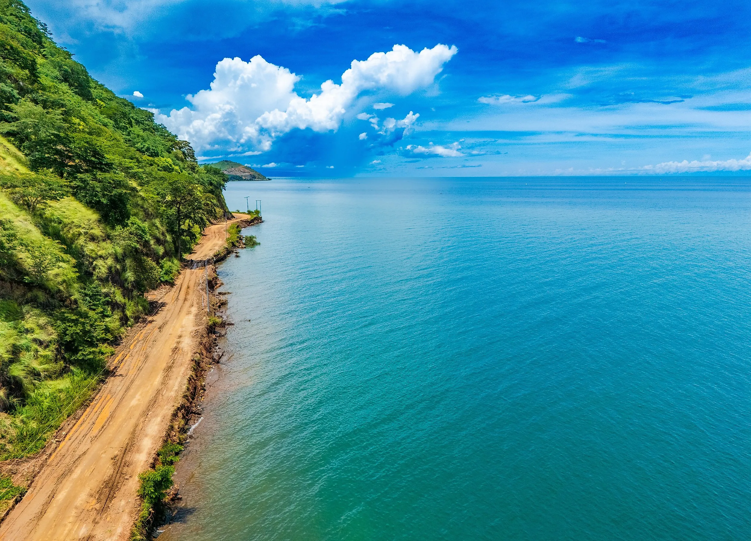
Lake Tanganyika is a massive body of water shared by Burundi, the Democratic Republic of the Congo, Tanzania, and Zambia. It stretches about 416 miles (670 km) from north to south while remaining relatively narrow, creating a long ribbon of water through the East African Rift. Its size is only part of what makes it remarkable. Tanganyika reaches a maximum depth of about 4,826 ft (1,471 m), making it the second-deepest lake in the world after Russia’s Lake Baikal. Parts of its western shoreline rise steeply from the water as the walls of the Rift Valley climb into the surrounding highlands.
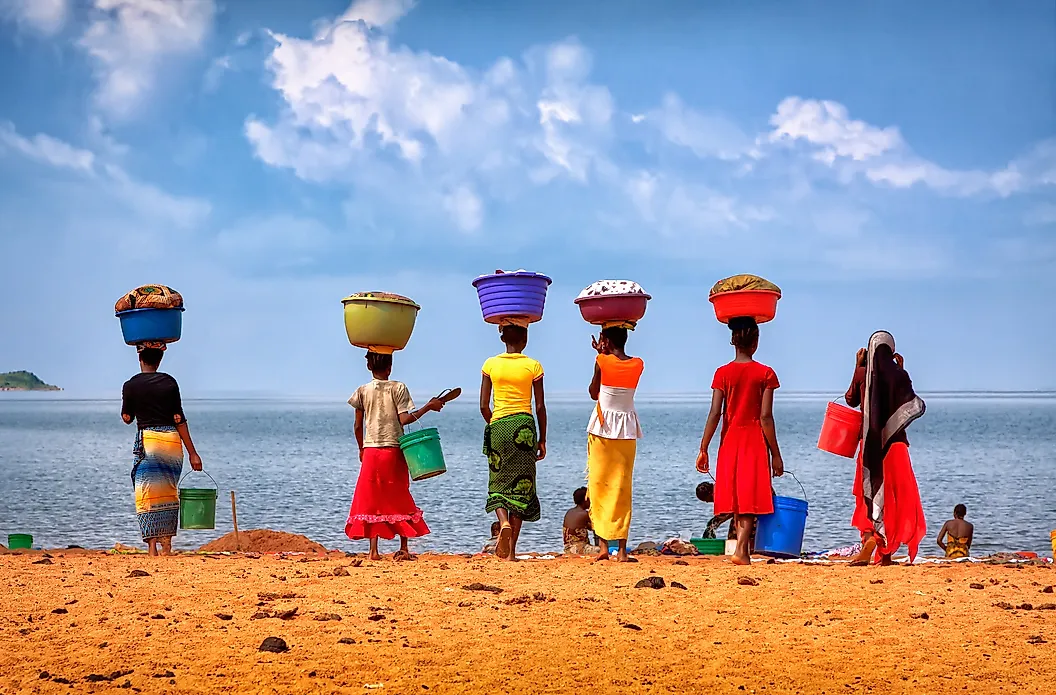
The lake also supports extraordinary biodiversity. More than 1,500 species have been recorded in and around its waters, including hundreds found nowhere else. Fishing provides food and income to communities around the lake, while regular boat routes connect ports such as Kigoma in Tanzania and Kalemie in the Democratic Republic of the Congo. Its enormous volume also makes Tanganyika one of the planet’s largest stores of liquid freshwater.
Lake Malawi
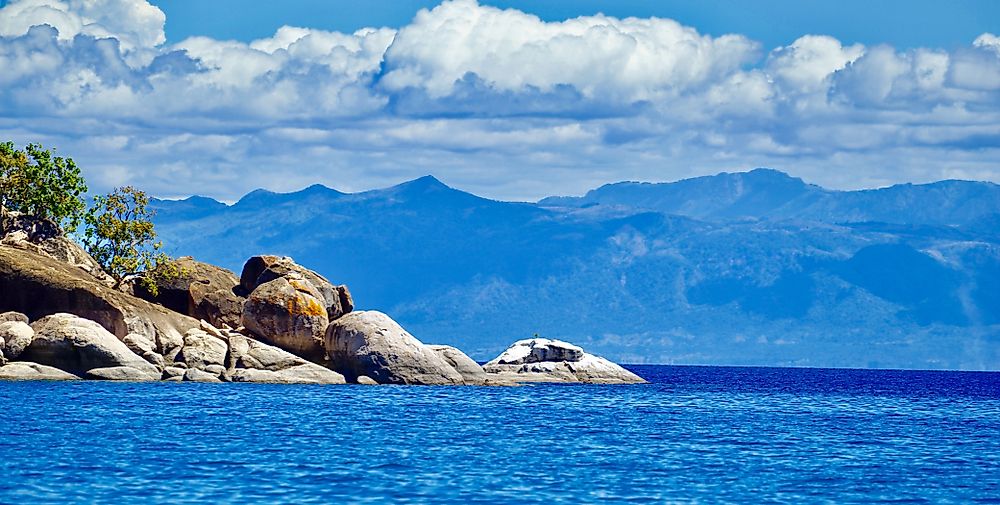
Lake Malawi is another enormous East African Rift lake, shared by Malawi, Mozambique, and Tanzania. It extends roughly 348 miles (560 km) from north to south and reaches about 47 miles (75 km) across at its widest point. Like Tanganyika, steep fault-controlled slopes border portions of its shoreline. What most distinguishes Lake Malawi is its fish diversity. Estimates reach as high as roughly 1,000 species, including hundreds of colorful cichlids that evolved within the lake. Many occur nowhere else on Earth. That remarkable variety has made the lake an important place for scientists studying how new species develop and adapt to different habitats.
Lake Malawi National Park protects part of the lake’s southern end and became a UNESCO World Heritage Site in 1984. The clear water, rocky islands, and mountain backdrop also make this portion of the lake a major visitor destination. Fishing remains central to everyday life around much of the shoreline, supporting communities in all three bordering countries.
Lake Titicaca

Lake Titicaca is South America’s largest freshwater lake by surface area, covering 3,232 sq mi (8,372 sq km) along the border between Peru and Bolivia. Its setting makes it even more unusual. The water surface sits about 12,507 ft (3,812 m) above sea level on the Andean Altiplano, higher than many mountain summits in the eastern United States. The lake stretches roughly 118 miles (190 km) at its longest and around 50 miles (80 km) at its widest. Snow-covered peaks rise beyond the surrounding plateau, making Titicaca one of the world’s highest large lakes and one of the best-known high-elevation navigable lakes.
People have lived around Titicaca for thousands of years. The lake was important to cultures including the Tiwanaku and later the Inca, while archaeological work has uncovered settlements, offerings, and other remains beneath and around its waters. Communities still use totora reeds growing along the shoreline for boats, crafts, and other traditional purposes.
Lake Mweru

Although it’s not far from the massive Rift Valley lakes, Lake Mweru offers a different kind of sizable African body of water. Shared by Zambia and the Democratic Republic of the Congo, it is much shallower and more closely tied to the river system around it, with the Luapula River feeding the lake from the south and the Luvua River carrying water north toward the Congo River basin. Much of its shoreline is relatively low-lying, with wetlands and floodplains helping create a landscape that feels more open than the steep-sided Tanganyika. Fishing is central to life around the lake, particularly on the Zambian side, where communities depend heavily on the lake and surrounding waterways for both livelihoods and transportation. It’s also quite shallow, with an average depth ranging from just over 23 feet.
Lake Rukwa

Lake Rukwa completes the ranking with an ILEC-listed surface area of 1,158 sq mi (3,000 sq km). Located entirely within Tanzania, it occupies another branch of the East African Rift between Lake Tanganyika and Lake Malawi. Rukwa is especially difficult to assign a single size because its shoreline shifts dramatically. It occupies a closed drainage basin with no river carrying water to the ocean, so changes in rainfall and evaporation can cause the lake to expand or shrink substantially. NASA measurements have placed its average depth at only about 10 ft (3 m), and during drier periods the lake can separate into northern and southern sections surrounded by mudflats and wetlands.
That variability makes the ILEC figure a useful benchmark rather than a permanent measurement. At higher water levels, studies have measured areas considerably larger than 1,158 sq mi (3,000 sq km). The shifting shoreline affects fishing and farming communities around the basin while also creating extensive wetland habitat for birds and other wildlife.
The Southern Hemisphere’s Largest Lakes Span Very Different Environments
The five largest permanent surface lakes entirely south of the equator range from a trench almost a mile deep to a shallow lake whose shoreline can shift by hundreds of square miles. Tanganyika and Malawi dominate the ranking, with surface areas more than three times that of Titicaca. Mweru and Rukwa are smaller, but both remain major geographic features of central and eastern Africa.