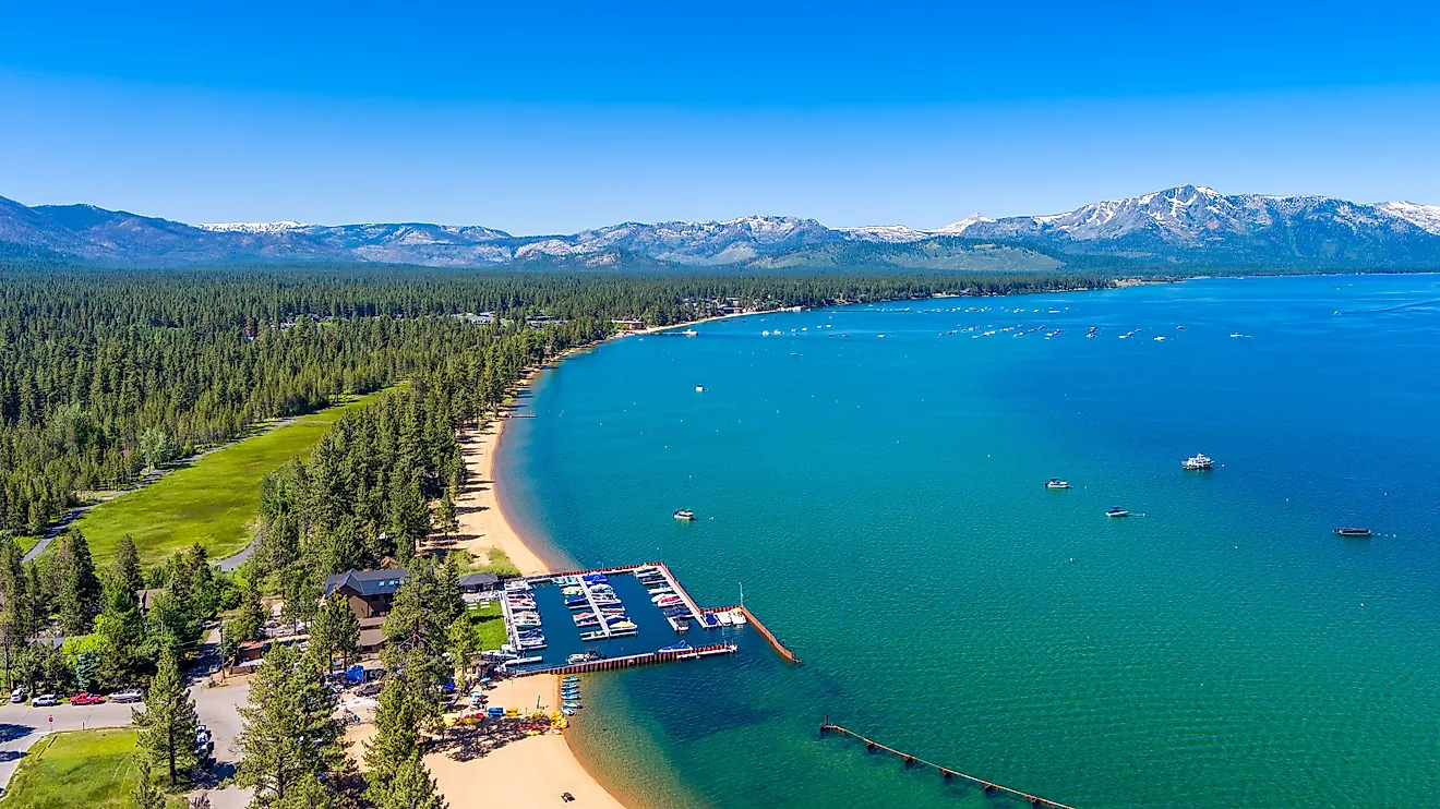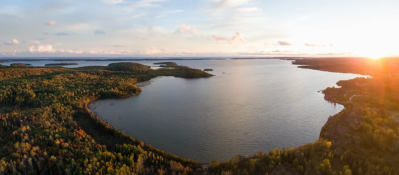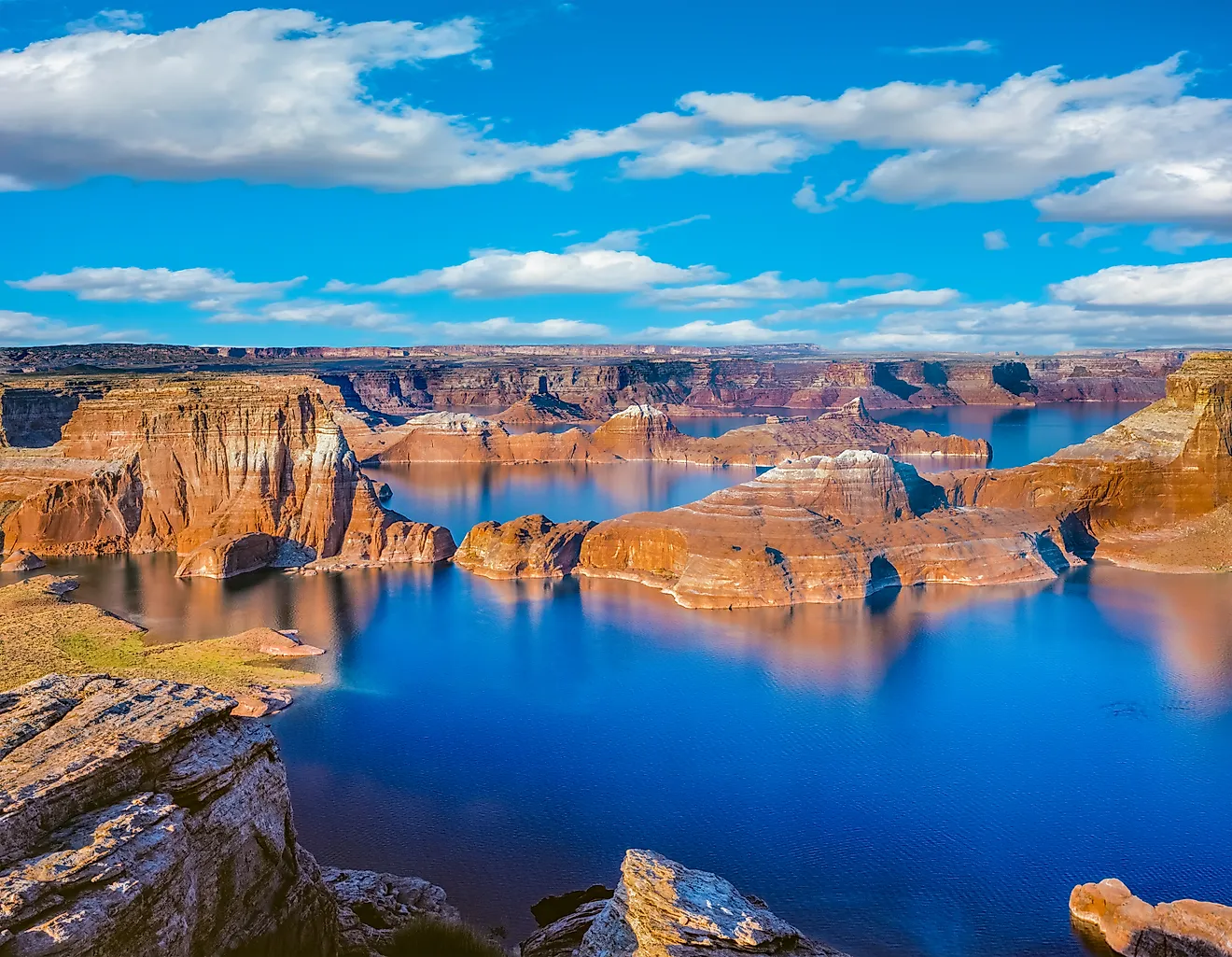
Silverwood Lake
Silverwood Lake is a large reservoir created by the Cedar Springs Dam’s construction on the West Fork Mojave River in San Bernardino County in the US State of California. Placed at a surface elevation of 3,356 ft, the beautiful Silverwood Lake is the State Water Project’s highest reservoir, serving as an essential water source for the nearby communities. Located about 90 minutes from Los Angeles, this significant boating, fishing, and camping destination draw hundreds of visitors, especially on the summer weekends.
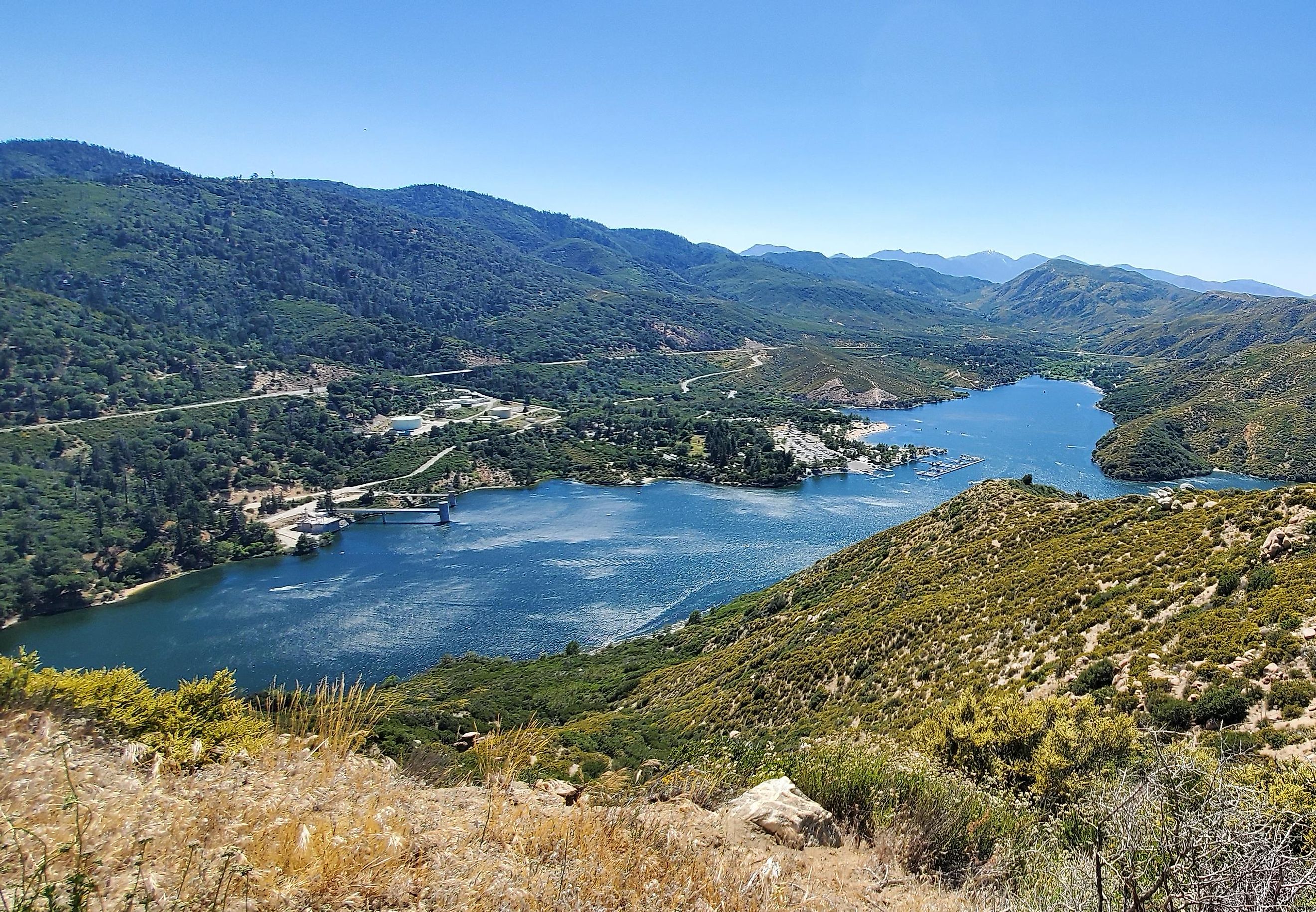
Geography Of Silverwood Lake

‘A place where mountains meet the desert’ is what aptly describes the location of Silverwood Lake. The Silverwood Lake State Recreation Area, of which Silverwood Lake is a part, is nestled high in the center of the San Bernardino National Forest and is bounded by the Mojave Desert in the north and the San Bernardino Mountains in the south. Silverwood Lake was created as a part of the California State Water Project in 1971 due to the Cedar Springs Dam’s construction on the West Fork Mojave River. The lake is surrounded by about 2400 acres of recreation land.
Silverwood Lake is placed on the 444 miles long California Aqueduct’s eastern branch. Covering a surface area of 976 acres, it reaches a maximum depth of 166 ft and holds a water volume of 73,000 acre-feet. The reservoir receives its primary inflows from the California Aqueduct and the East Fork of the West Fork Mojave River, while its primary outflow is the West Fork Mojave River. Silverwood Lake is a vital water source for agencies that serve in the neighboring Mojave Desert and San Bernardino Mountain areas. Some communities close to the lake include Crestline – about 8 miles south; Cajon Junction, about 15 miles west; and San Bernardino, about 25 miles south.
Climate Of Silverwood Lake
According to the Köppen climate classification, Silverwood Lake experiences a hot-summer Mediterranean Climate. The warm summer season lasts from June to September, with average high temperatures varying between 90 and 100 degrees and continuous blowing of warm, dry breezes. The cold season lasts from December to March, with average low temperatures ranging between 30 to 60 degrees.
Brief History Of Silverwood Lake

For more than 2,500 years, the Serrano Indians inhabited the northern and southern faces of the San Bernardino Mountains and far northwards to the flat desert bounded by the Tehachapi Mountains. They lived in small settlements of 10 to 20 dwellings in their circular-shaped homes alongside rivers and streams. Besides hunting large and small game animals, the Serrano supplemented their diet with various berries, seeds, nuts, tubers, and acorns. However, around 1790, the stable lives and traditions of the Serrano people changed as they were drawn into the San Gabriel Mission. In the 1860s, fertile soils and an abundant water supply were discovered by cattle ranchers in the Summit Valley area. From this time to the early 1900s, the present-day Silverwood Lake area was dominated by three big ranches – the Lugo Ranch, the Las Flores, and General James Houghton spread (Summit Valley Ranch).
By 1912, about 160-acre homestead areas were made available through the Government Homestead Act. The area comprised the lower Sawpit Canyon, Miller Canyon, and the town of Cedar Springs. The rapid development of Cedar Springs is mainly attributed to the efforts of Dr. Carl Hewitt and his spouse Ella, who promoted projects incessantly to bring better roads and services to the area. Cedar Springs soon became a popular destination for vacation home developers and mountain recreationists. In the mid-1950s, rumors started spreading regarding the construction of a large reservoir at Cedar Springs. In 1957, a formal plan was released as part of the State Water Project to bring water via a series of canals, tunnels, reservoirs, and pumping stations from Northern California’s Feather River to Southern California.
A program was started by the State in 1961 to buy all property in Cedar Springs for the construction of a new reservoir and recreation area around its shores. On January 22, 1972, Silverwood Lake began filling, and the rising waters soon covered the last remaining remnants of Cedar Springs. The dam which led to the creation of Silverwood Lake was named the “Cedar Springs Dam,” in remembrance of this tiny community. Silverwood Lake was named after Riverside County resident W.E. “Ted” Silverwood, who supported the State Water Project and persistently worked to bring water to Southern California.
Flora And Fauna Of Silverwood Lake

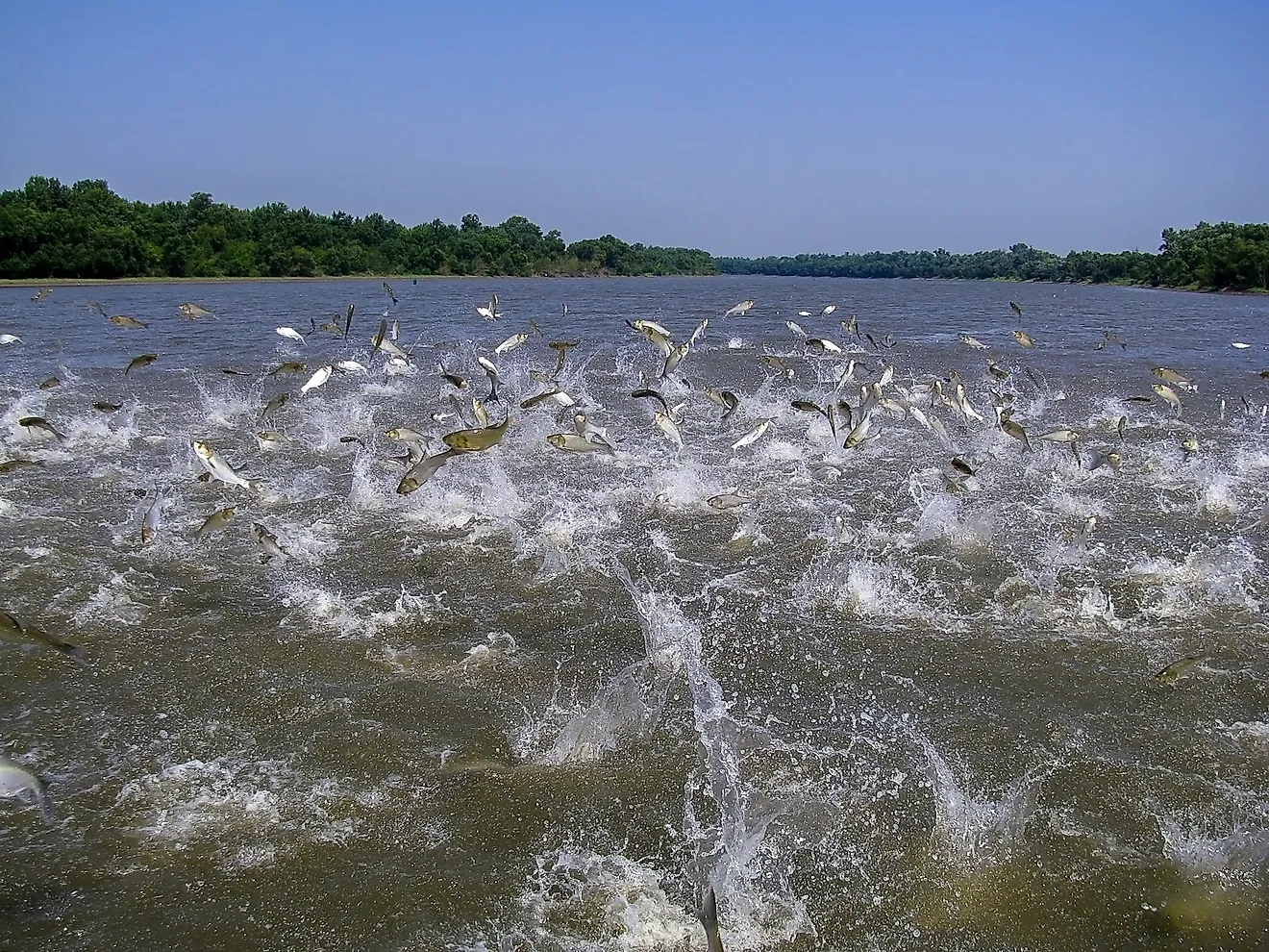
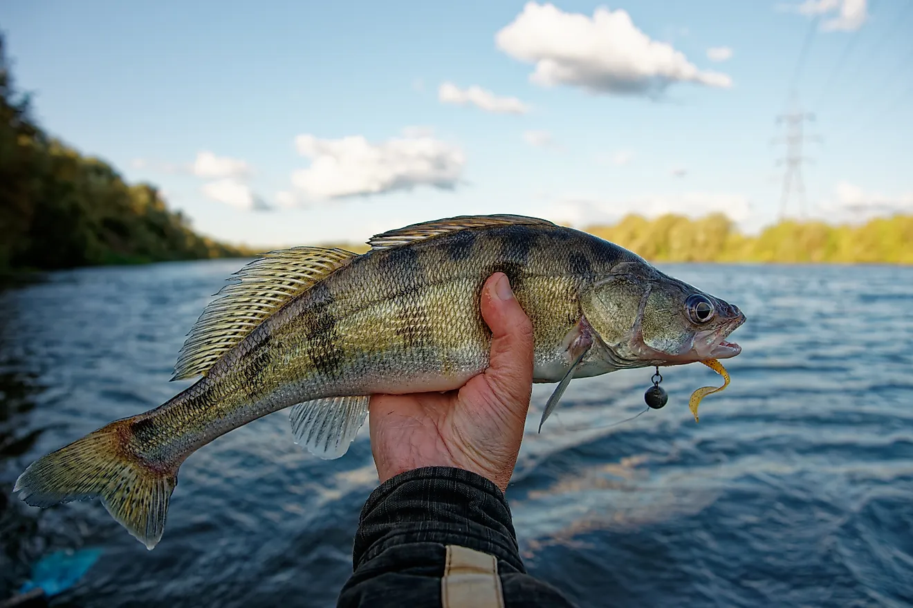
Silverwood Lake habitats are composed of ponderosa pines, white firs, black oak, and incense cedar. Plants like chamise, manzanita, live oaks, mountain mahogany, willows, alders, and sycamores have been observed growing along the streams. Some notable fauna includes California mule deer, coyotes, gray foxes, jackrabbits, chipmunks, ringtails, and wood rats. With plenty of largemouth bass, catfish, bluegill, trout, crappie, and striped bass to catch, Silverwood Lake is an angler’s paradise. The well-known avian species spotted here include bald eagles, great blue herons, western grebes, Canada geese, mountain chickadee, snowy egrets, Cooper’s hawks, Steller’s jays, western grebes, osprey, and different varieties of ducks.
Recreation In Silverwood Lake

Surrounded by barren peaks and wooded hillsides, the Silverwood Lake State Recreation Area offers plenty of recreational activities for its visitors, including picnicking, swimming, hiking trails, camping, and selected fishing, boating, and water skiing areas. The Mesa Campground is the main campground at Silverwood Lake, which houses 136 family sites (of which 97 have RV hookups) with barbecue grills, tables, and fire rings. There are also group sites for hikers and bicyclists, with the Barranca, Valle, and Rio group campgrounds located within a quarter-mile from the lake. The lake’s northern part contains a waterski area, while the southern end features a marina, main launch ramps, and two swim beaches. In addition to this, the recreation area has 13 miles of paved hiking and bicycling trails. The 2,650-mile-long Pacific Crest Trail, which originates in Mexico and traverses three western states before terminating in Canada, also passes through the Silverwood Lake State Recreation Area.
Moreover, the Silverwood Lake Recreation Area is an excellent place for one to explore the San Bernardino National Forest. Silverwood Lake, along with its trails, campsites, and an array of outdoor recreation opportunities, attracts thousands of visitors from the surrounding Greater Los Angeles, San Bernardino, and Riverside areas. Tourists often seek refuge at this spectacular Southern California lake to escape the chaos of concrete-filled cities and soak in the serenity of this family-friendly destination.