How Great Lakes Freighters Navigate In Fog
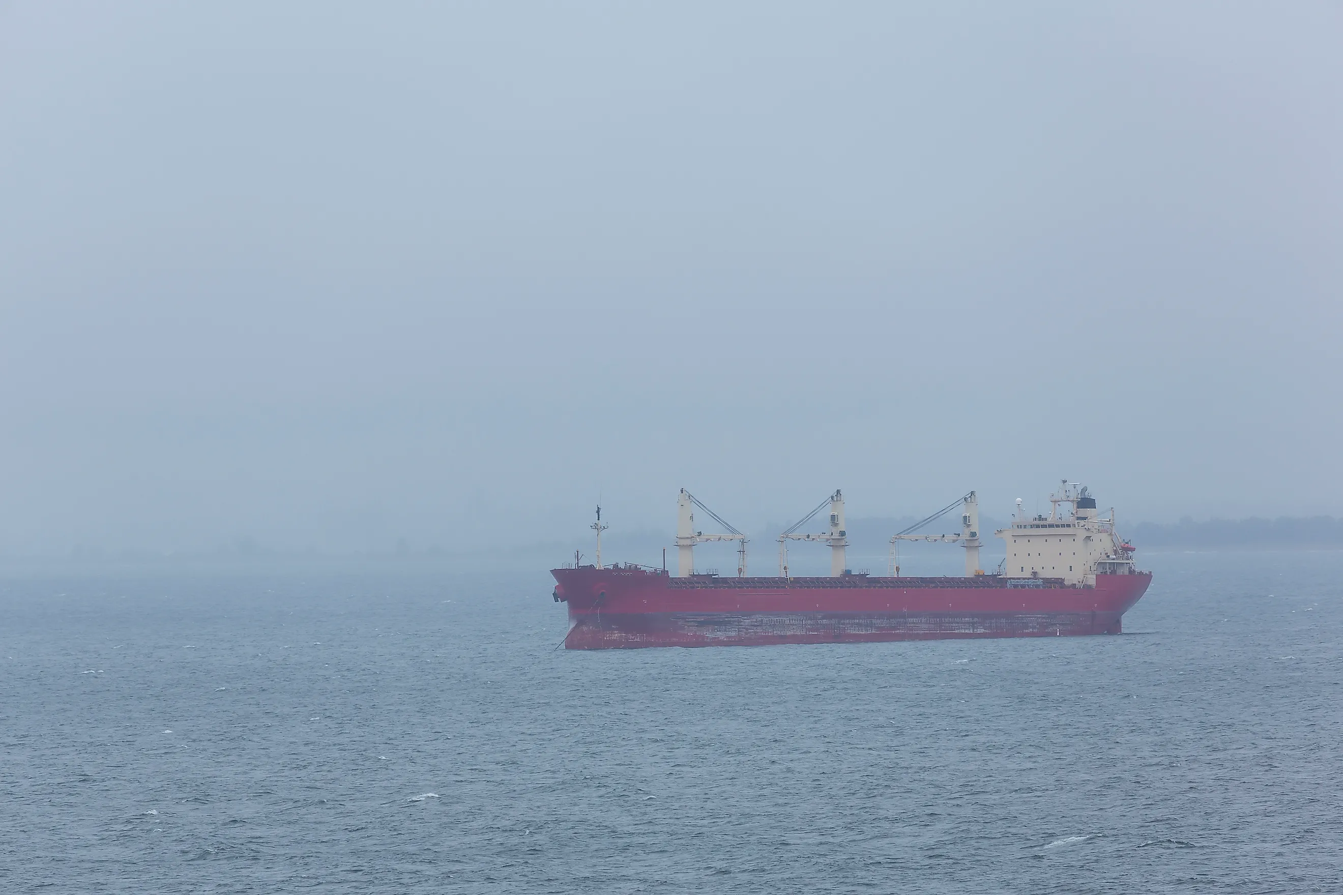
When fog settles over Lake Superior and visibility drops to a quarter mile, the crew steering a 1,000-foot freighter from its stern can see about 300 feet of water past the bow, less than a third of the length of their own ship. At slow speed, a ship that size needs more than half a mile to stop, so anything that appears out of the fog ahead is already well inside that distance.
Freighters keep working the Great Lakes in those conditions anyway, with the crew steering mostly by what shows up on screens and comes over the radio. In 1965, a freighter with radar and a radio aboard was struck in fog and sank in about 40 minutes, and 10 of the 35 men on board died.
A 1,000-Foot Freighter Steers From the Stern

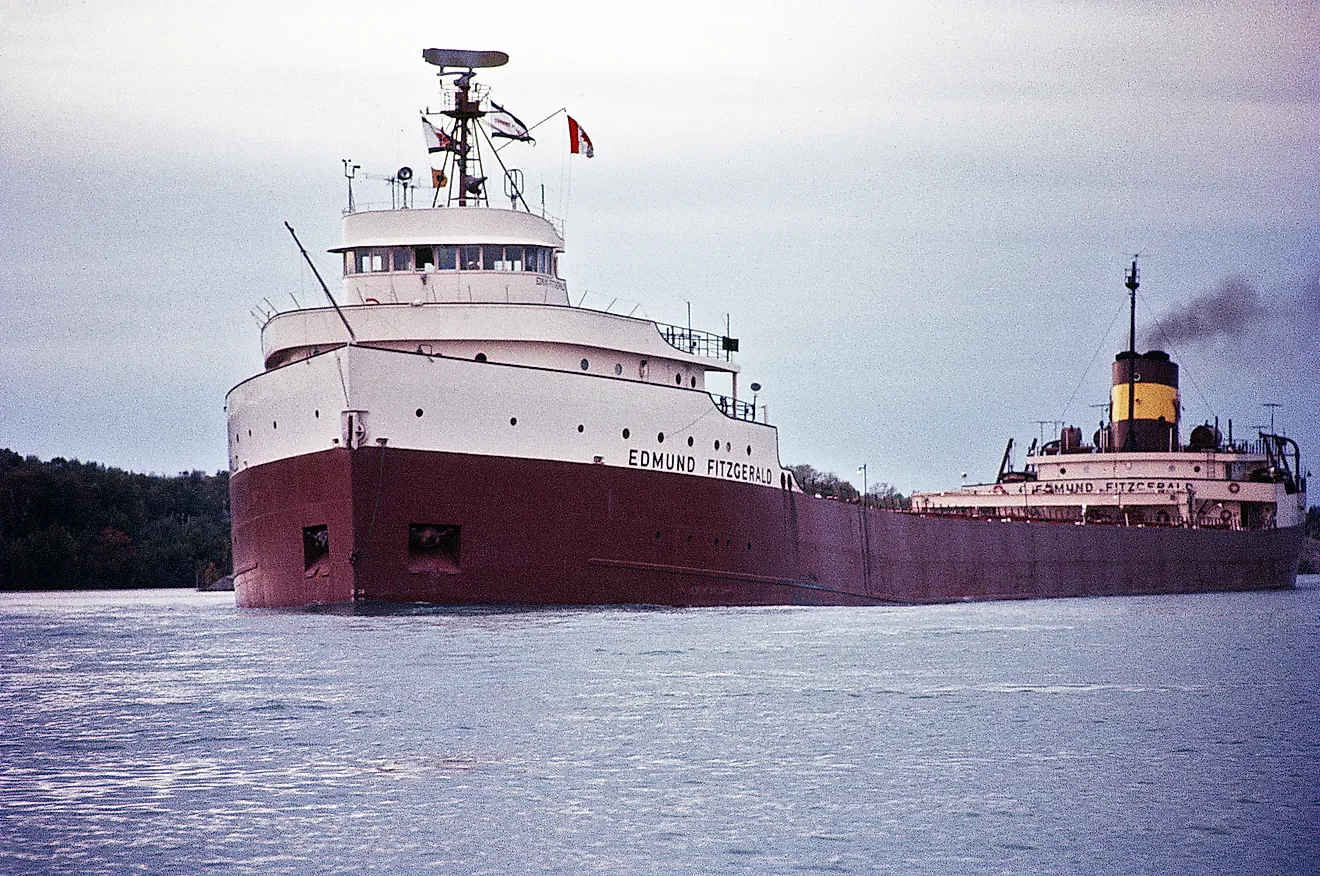
That 300-foot figure comes from where the wheelhouse sits. On the James R. Barker, 1,004 feet long, all of the accommodations are stacked in a five-story superstructure at the stern, and of the 13 thousand-footers on the lakes, the Stewart J. Cort is the only one with its pilothouse forward. From an aft pilothouse, fog shortens the view starting at the far end of the ship, so the bow is the first thing to disappear.
The National Weather Service issues a dense fog advisory over water once visibility falls to a mile or less. A mile is 5,280 feet, so at the advisory threshold a crew at the stern still sees more than four ship lengths of water ahead of the bow. The view shrinks quickly as the fog thickens, and at a quarter mile the ship's own deck fills about three-quarters of the distance the crew can see.
Fog Forms When Air and Water Temperatures Differ

Out on the open lake, where the freighters run, fog is even more common than along the shoreline. It forms when the air and the water sit at very different temperatures. In spring and early summer, warm, moist air drifts over water that is still cold from winter, cools until it is saturated, and condenses into fog. On May 24 and 25, 2010, satellite images showed this kind of advection fog spreading over much of Lake Superior and Lake Michigan, while surface water on Superior sat in the upper 30s to low 40s. Along the shore, fog is most frequent in spring and early summer, and in summer the Lake Superior shoreline is the area that is foggy most often.
The shipping season opens before the lakes warm up. The Poe Lock at Sault Ste. Marie opened the 2026 season on March 25, so the first months of each season overlap the foggiest stretch along the shore. Later in the year the temperatures flip. In late summer, air cooled over land at night moves out across lake water that is now relatively warm, and fog forms again.
Radar Shows What Lies Past the Bow

Radar is the first replacement for eyesight. Federal rules require large commercial vessels to carry a marine radar for surface navigation, and a ship of 10,000 gross tons or more must carry a second radar that operates independently of the first, so the crew keeps a picture if one set fails. The Inland Navigation Rules, which cover every vessel on the U.S. side of the lakes and American ships on the Canadian side where Canadian law doesn't conflict, require a lookout kept by sight and hearing and by all available means, and in fog the radar is one of those means. Under Rule 19, a power-driven ship in restricted visibility keeps its engines ready for immediate maneuver. A crew that detects another vessel by radar alone has to work out whether a close-quarters situation is developing and act early. The rule also tells the crew to avoid turning to port for a vessel forward of the beam, meaning anywhere ahead of a line drawn straight out from the ship's sides.
AIS Puts a Name on Every Target

A radar contact marks where another ship is, and AIS, the Automatic Identification System, tells the crew which ship it is. Every self-propelled commercial vessel 65 feet or longer must carry a Class A AIS device. Each device broadcasts its ship's identity, type, position, course, speed, and navigational status, and it picks up the same information from the ships around it. On a modern bridge, AIS targets and the radar's tracked contacts appear together on an electronic chart, so a mate can watch a named ship approach on the screen while it is still hidden in the fog.
Ships Arrange Their Passing by Radio

In the Lake Huron Cut, the dredged approach to the St. Clair River at the south end of Lake Huron, the Standard Portland Cement and the August Ziesing collided in dense fog on May 20, 1960. Their crews first saw each other when the ships were about 70 feet apart, and the Coast Guard concluded that radiotelephones could have prevented the collision.
Today a mate who has the other ship's name from AIS can call it directly on VHF channel 13, the bridge-to-bridge frequency that large vessels are required to monitor, and the two crews can agree how they will pass well before they meet. The agreement uses the terms of the whistle signals in the navigation rules. One short blast means "I intend to leave you on my port side," a port-to-port pass, and two short blasts mean the ships will pass starboard to starboard. On the open lakes, much of the opposing traffic is separated before anyone calls. The Lake Carriers' Association publishes recommended courses with separate downbound and upbound tracks across Lake Superior, Lake Huron, and Lake Erie, so ships headed in opposite directions follow different lines.
The Horn Still Sounds Every Two Minutes

On the Detroit River, the sound of the horns carries to shore during heavy fog. Speaking as harbor master of the Windsor Port Authority during one foggy stretch, Peter Berry said the ships "are actually blind coming round the turn of the Ambassador Bridge" and that "it takes a kilometre for a ship to stop and that's at a slow speed," which is why the lakers sound their horns as they pass.
Boats outside the AIS requirement may broadcast nothing at all, so sound still matters. Under Rule 35, a power-driven ship making way through fog sounds one prolonged blast at intervals of no more than two minutes, and a ship stopped in the water sounds two prolonged blasts about two seconds apart. Unless the crew has determined that no risk of collision exists, a ship that hears another vessel's fog signal forward of the beam must slow to the minimum speed that keeps it on course and navigate with extreme caution until the danger of collision is over.
Some Lighthouse Horns Switch On by Radio

Some fog signals on shore sound only when a crew switches them on. A mariner keys the VHF microphone five times on the signal's channel, which is 83A for Great Lakes signals, and the horn runs for about 45 minutes. At Whitefish Point, at the entrance to Whitefish Bay on Lake Superior, an earlier setup gave crews a way to measure distance. In 1930, the station's horn was synchronized with a radio beacon so that both signals went out at the same moment. The radio signal reached a ship almost instantly, while the sound crossed the water at about a mile every five seconds, so a crew that timed the gap between the two could work out how far the ship was from the point. A 15-second gap put it about 3 miles away.
The Cedarville Had Radar and Kept Its Speed

Radar and radio were both aboard the Cedarville on May 7, 1965. The 604-foot freighter left Port Calcite, near Rogers City, Michigan, bound for Gary, Indiana, with 14,411 tons of limestone, and the fog thickened as it neared the Straits of Mackinac. Captain Joppich kept the ship at its top speed of about 12.3 mph as the fog worsened, while third mate Charles Cook watched the radar for approaching ships. The crew had arranged a port-to-port passing by radio with the German freighter Weissenburg. That arrangement covered only one of the ships nearby. The Norwegian ship Topdalsfjord had not responded to radio calls, and near the Mackinac Bridge its bow opened a large hole in the Cedarville's port side.
Joppich tried to beach the ship near Mackinaw City. About 40 minutes after the collision, the Cedarville rolled over and sank roughly 2 miles short of the beach, and 10 of the 35 men aboard died. The Weissenburg's crew pulled 26 men from the water. The Coast Guard cited Joppich for four counts of faulty seamanship, among them failing to navigate at a moderate speed in fog, and suspended his license for a year.
Below a Quarter Mile, the St. Marys River Closes

The St. Marys River, the channel between Lake Superior and Lake Huron at Sault Ste. Marie, adds one more layer, a traffic controller on shore. Participation in Soo Traffic, the Coast Guard's vessel traffic service, is mandatory. Each ship files a sailing plan at least an hour before entering and reports its position at set points along the river, with a listening watch on VHF channel 12 the whole way. Masters must also report whenever visibility drops below a mile. With no traffic service cameras above the Soo Locks, those reports from the ships are the controllers' only view of the fog in the upper river. When visibility falls below a quarter mile, Soo Traffic closes the river or its channels.
Above that limit, ships keep moving through patchy fog, and the crew has to use everything aboard. The Canadian bulk carrier Michipicoten ran aground in the river on October 28, 2005, as fog patches cut visibility. Canada's Transportation Safety Board found that the master was the only officer carrying out all navigation and communication duties, with the fog signal silent and no additional lookout posted, and that the radar and electronic chart system were "not used to their full potential." While trying to see the buoys on the channel's easterly limit, he was also talking with Soo Traffic.
A quarter mile is about 1,320 feet, a little longer than a thousand-footer itself. By Berry's estimate, a ship moving slowly needs about a kilometer, or roughly 3,280 feet, to stop, which is two and a half times that distance. At the closure line, any vessel that comes out of the fog ahead is already well inside a freighter's stopping distance, so the radar, the AIS screen, and the radio call have to do their work long before anyone in the pilothouse can see the other ship. The Cedarville's crew had radar and radio in 1965, and the ship had held its top speed into the thickening fog before the Topdalsfjord appeared. The Soo Locks stay open into mid-January, and on the St. Marys River the quarter-mile rule holds in every month of the season, so when the fog thickens past that line, the freighters wait for it to lift.