The Year The Ohio River Flood Took Louisville
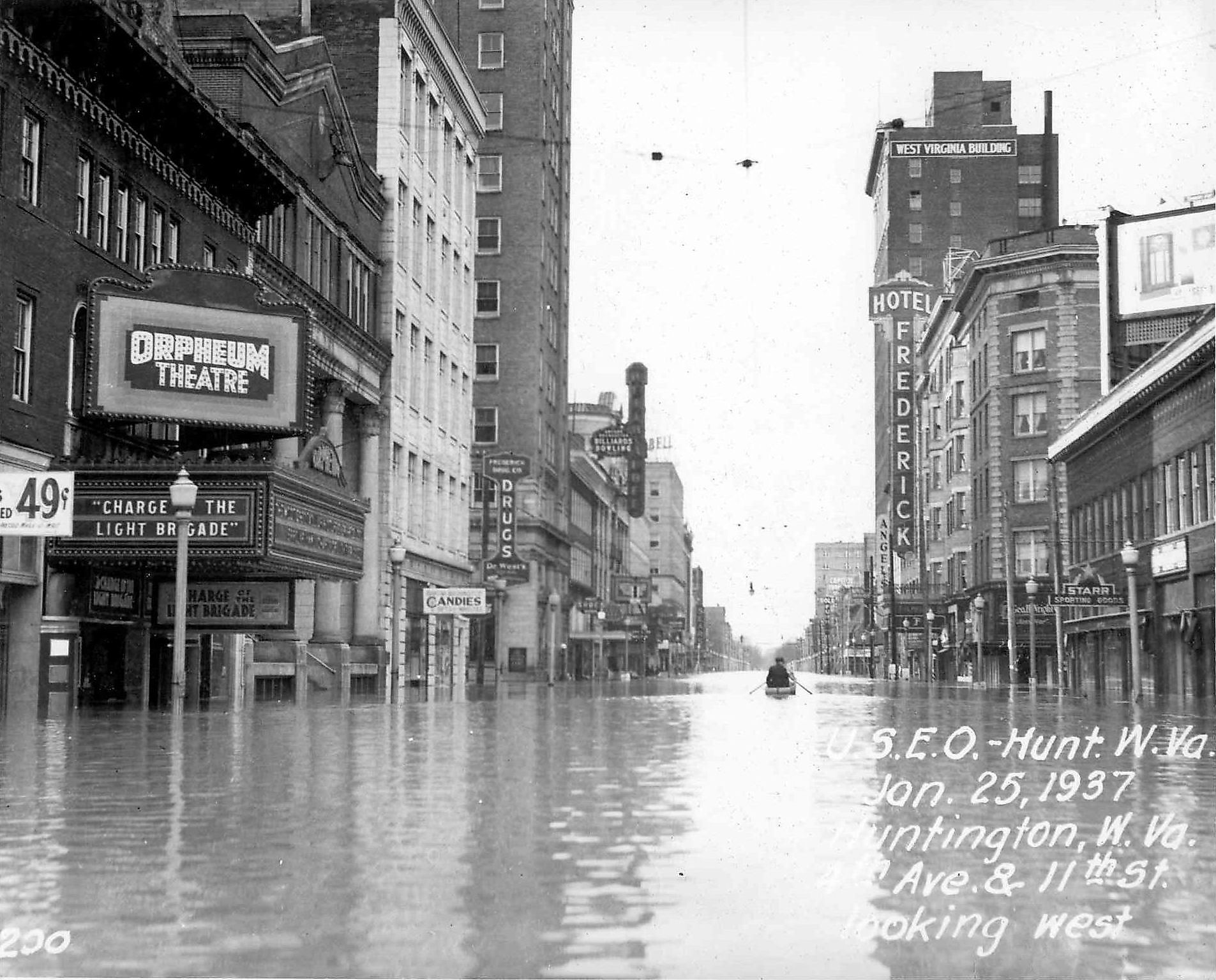
In 1937, Louisville, Kentucky, was struck by the most devastating flood in its history. In the month of January, an unusually large amount of precipitation caused the Ohio River to rise more than 30 feet above the flood stage. To this day, no other flood has surpassed it both in the height of the water and the damage it caused to a city already reeling from the Great Depression, due in no small part to a large flood protection project put in place in the decades following the flood.
How did the flood happen?

The Ohio River flood came about due to an unusual weather pattern in the middle of winter in January 1937, which impacted not just the Ohio River but also the Mississippi River.
Beginning in late December 1936, a series of storms impacted the lower Mississippi River Basin and most of the Ohio River Basin, with the largest rainfall occurring in the lower Ohio River Valley from Cincinnati to Louisville and Cairo, Illinois. This rainfall came about due to southern air masses from the south meeting colder polar air masses, causing unusual barometric pressures and periods of intense rainfall, followed by days when no rain fell at all.

Over a period from January to February 1937, rainfall added an estimated 165 billion tons of water to the Ohio and Mississippi Rivers, according to the United States Coastguard. The largest amount of rainfall happened from January 20 to 25 in the lower Ohio River valley. For Louisville itself, it saw 15 inches of rain from January 13 to 24th, out of more than 19 inches of rain in total for that entire month. This was four times the normal amount of rain for this month. In fact, there were only eight days in January that recorded no rain.
Interestingly, there was no measurable snowfall for Louisville during that month, but Cincinnati had a winter storm that brought 6 inches of snow, which briefly slowed the river's rise.
How high did the waters get?

All of this rain caused the Ohio River to rise quickly far above its normal level. In a day, the river rose by 6.3 feet from January 21 to 22nd, bringing floodwaters rushing into downtown.
The river reached its peak height on January 27 to 460 feet above sea level. The river level was measured at two gauges on that day: the upper gauge and lower gauge. The upper gauge measured the flood crest at 52.15 feet, while the lower gauge at McAlpine Lock recorded 85.4 feet. This number is 30.4 feet above the flood stage at the lock, which is 55 feet.
What damage did it cause?

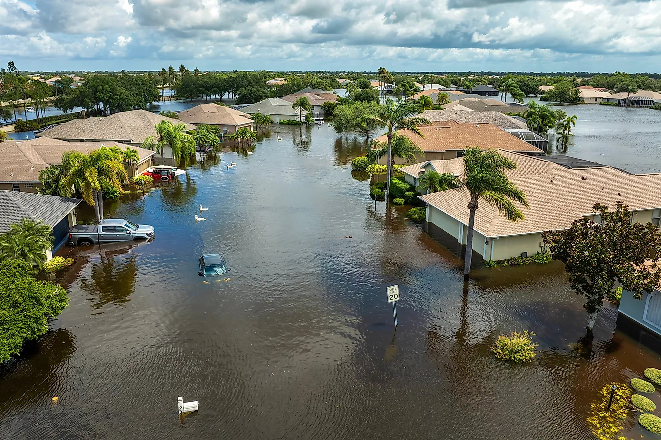
Most sources agree that the immediate impact of this flood was a submersion of close to 70% of the city. Out of the city's population of just under 309,000 people, 175,000 were forced to flee their homes.
Of those who fled, many came from majority African American neighborhoods such as the West End of Louisville. Margaret Bourke-White captured one of the most famous photos from the flood for is of a long line of African Americans lining up to receive flood aid while behind them is a billboard of a white family driving in a car proclaiming that Louisville had the "World's Highest Standard of Living."
While Louisville often gets all the spotlight, just to the north of the city, Indiana was also struck by the flood. The towns of New Albany and Jeffersonville were hit especially hard, with 90% of Jeffersonville submerged in water. All roads leading into Jeffersonville were covered by water, forcing the intervention of the National Guard. New Albany had a levee, but this structure failed on January 23, causing nine feet of water to cover its downtown Silver and Spring Streets.

The flood also destroyed a landmark attraction: Rose Island. Opened in the 1920s in Charlestown, Indiana, this amusement park was a popular trip for Louisville residents to go to its dancing hall, swimming pools, rides, and zoo. With its position on a peninsula on Fourteen Mile Creek, it was completely destroyed by the flood. Today, its ruins are a part of the Charlestown State Park.
The flooding caused $250 million in damages across the Ohio and Mississippi River valleys, which Weather.gov states equates to more than $3.3 billion when adjusted for inflation for the modern day. The Louisville Metro Sewer Department lists the number of deaths caused by the flood at 190 people.
A great flood control project

At the time of the flood, Louisville had no major floodwall protections. This massive flood drew the attention of the federal government, which in turn passed the Flood Control Act of 1938, giving funds to build concrete floodwalls, earthen levees, and other projects. The Louisville project was officially approved in 1939, with 20 projects in the works by 1941.
However, World War II significantly slowed down progress on the flood wall, as funds were poured into the war efforts. But this delay ended up causing more damage when another flood impacted the city in March 1945, with a flood crest of 42.10 feet at the upper gauge, making it the second-largest flood in the city's history, again caused by heavy rainfall.

Two years later, the Louisville floodwall officially broke ground, but it would take nine years to complete. Known as the Louisville Reach system, the U.S. Army Corps of Engineers constructed more than 4.5 miles of concrete floodwalls and 12.5 miles of earthen levees. This was paired with pump stations, drainage pipes, and movable floodgates. The project was completed in 1956 to the tune of $26.5 million.
The flood wall would be expanded in 1989 with 9 miles of levees and four pump stations. Today, the Metro Sewer Department operates the flood protection system, managing 150 floodgates and 80 floodwall closures. The walls are built high enough to withstand a flood that would be three feet higher than the one in 1937. The pumping stations are another critical part of the system, as they take into account streams and creeks. When those begin to overflow, they pull the water out and send it back into the Ohio River to prevent flooding further inland.
No flood has come close to 1937

To put the flood into perspective, it is not only the biggest in recorded history, but also in the geology of Louisville as well, as no prehistoric flood in this basin reached the same crest, according to the National Weather Service. Today in Louisville and Southern Indiana, one can see markers of how high the floodwaters reached, along with the flood barriers themselves, built in preparation for an even bigger superflood.
Today, Louisville has seen major flooding events, such as its 8th largest recorded flood on April 9, 2025, when waters crested at 36.63 feet, forcing the pump stations to pump out more than 12.1 billion gallons of stormwater. However, much of the infrastructure here dates back to the 1950s and is in need of upgrades. For example, the MSD is currently working on upgrading the 1953 Paddy's Run pumping station.
While Louisville is better prepared for a flood than it was in 1937, constant vigilance and investment are necessary to prevent further devastation should another superflood strike the Ohio River Valley.