What Would Happen If Sea Level Rose 10 Feet On The East Coast
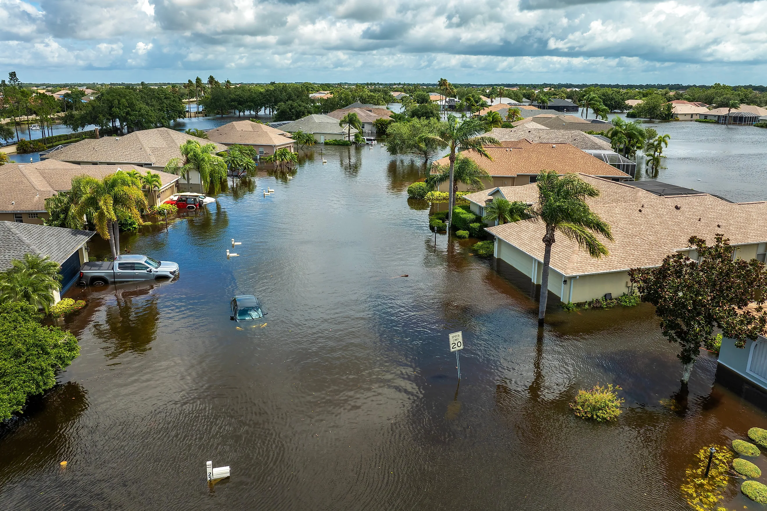
A 10-foot rise in sea level would inundate large sections of the US East Coast, submerging barrier islands, waterfront neighborhoods, ports, and coastal wetlands during ordinary high tides. Low-lying parts of New York City and southeastern Virginia would flood widely. Sections of the Outer Banks and Florida Keys would lose much of their land area or become separated from the mainland. The National Oceanic and Atmospheric Administration (NOAA) offers a Sea Level Rise Viewer that shows how dramatically the shoreline would shift under this scenario.
The viewer maps potential flooding at 10 feet above local Mean Higher High Water (MHHW), the average height of the higher high tide each day. It provides a screening-level picture of how rising water could affect coastal areas, rather than a precise prediction of future property boundaries. Even with that limitation, the maps reveal how much of the East Coast's development and natural landscape occupies low-lying ground.
Low-Lying Communities Would Face Widespread Flooding

A 10-foot rise would affect far more than the narrow strip of land directly beside the ocean. Estuaries, tidal rivers, bays, and low-lying inland areas connected to the coast would also flood. Hills, dunes, levees, and other higher ground would interrupt the spread of water, creating a patchwork of flooded areas and remaining dry land.
New York City shows what is at stake on a densely developed coast. Low-lying areas around Jamaica Bay, including parts of the surrounding shoreline and barrier-island landscape, would go underwater across wide areas. Waterfront sections of Brooklyn and Queens would also flood, especially around tidal inlets. The waterfront in Manhattan would take on water as well, although higher inland terrain would limit how far it spread.
Southeastern Virginia presents another major example. Norfolk and the surrounding Hampton Roads region contain extensive low-lying land along the Chesapeake Bay, Elizabeth River, and other waterways. Under a 10-foot scenario, coastal neighborhoods and developed areas along these waterways would be largely inundated. Military installations, port facilities, roads, and residential communities would also force difficult choices about protection and relocation.
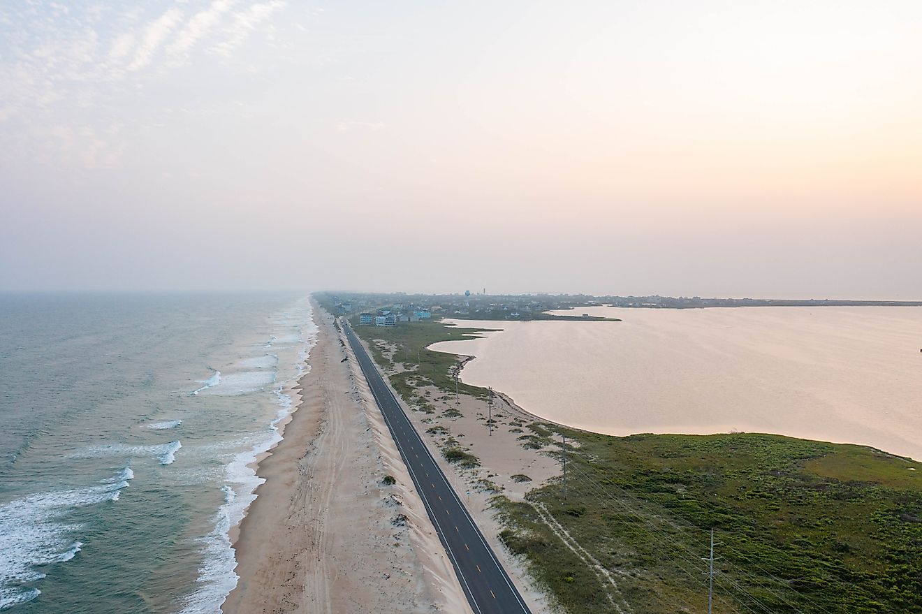
Farther south, the Outer Banks of North Carolina would change more dramatically than almost anywhere else on the coast. These narrow barrier islands separate the Atlantic Ocean from sounds and estuaries, leaving much of their land exposed to rising water. A 10-foot increase would flood broad sections of the islands, alter their connections to the mainland, and leave some developed areas isolated or submerged.
Major Transportation and Infrastructure Networks Would Be Disrupted

Ports, waterfront districts, and transportation routes often occupy low ground, making them vulnerable as coastal water levels rise. A 10-foot increase would affect roads, bridges, rail lines, tunnels, airports, and port facilities wherever their approaches or supporting systems lie in flood-prone areas.
New York's transportation network shows the problem. The subway system has electrical equipment, ventilation systems, and tunnels that require protection from water. Higher coastal water levels would make those facilities harder to protect, especially during storms. Flooded roads and rail lines could also isolate neighborhoods that remain above water, limiting access to hospitals, workplaces, and emergency services.
Hampton Roads has a different but equally serious infrastructure problem. Norfolk's port facilities and the region's large network of roads and bridges support shipping, military operations, and daily travel. Inundation around low-lying approaches and waterfront facilities would disrupt connections between communities, even where higher ground remains dry. Protecting individual buildings would not necessarily preserve the transportation networks that connect them.
Water and wastewater systems would be at risk too. Coastal flooding can affect treatment plants, drainage networks, and underground infrastructure, and saltwater intrusion can threaten freshwater supplies. Communities would need to reconsider where essential facilities are located and how they receive power, water, and road access.
Coastal Storms Would Reach Farther Inland

Sea-level rise does not need to make storms stronger to increase their damage. When the ocean starts from a higher level, storm surge and waves can reach farther inland, overtop existing barriers, and expose buildings that previously experienced less frequent flooding.
On the Outer Banks, higher water levels would leave less dry land between the ocean and the sounds, leaving roads, buildings, and dunes open to storm-driven waves. Inlets and channels could also change as water and sediment move through the islands.
Coastal communities from the Carolinas to Florida deal with the same problems. Existing seawalls, dunes, and levees might provide less protection unless they were raised or redesigned. During storms, heavy rainfall could compound coastal flooding by overwhelming drainage systems and preventing water from flowing into an already elevated ocean.
Repeated flooding can increase repair costs and disrupt businesses. Communities would have to decide which roads, neighborhoods, and facilities to protect, and where maintaining existing development might become expensive.
Beaches, Barrier Islands, and Wetlands Would Lose Ground

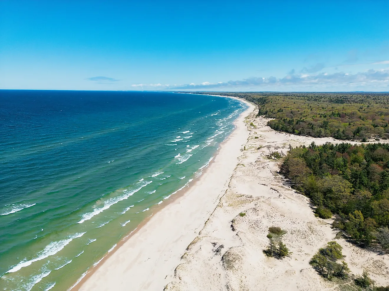
The East Coast's beaches and barrier islands change significantly as rising water alters shorelines and increases erosion. Waves and currents naturally move sand along the coast, but higher water levels can push beaches and dunes landward. Where buildings, roads, and seawalls prevent that movement, beaches may narrow or disappear.
The Florida Keys show the scale of the problem for low-lying islands surrounded by shallow coastal waters. A 10-foot rise would flood large portions of the island chain, affecting roads, residential areas, businesses, and natural habitats. The Keys also consist largely of porous limestone, which allows seawater to move through the ground rather than only advancing across the visible shoreline.
Coastal wetlands would also lose ground. Salt marshes provide habitat for wildlife, store carbon, and help reduce wave energy. Some can keep pace with rising water by accumulating sediment or migrating inland, but roads and development can block that movement. Where wetlands cannot shift or build elevation quickly enough, they lose ground to open water.
NOAA's Sea Level Rise Viewer includes a marsh-migration feature that maps where wetlands could move as water levels change. These changes would leave some coastal areas with fewer beaches, smaller marshes, and less natural protection from waves.
Saltwater Could Threaten Freshwater and Agriculture

As coastal water levels rise, saltwater can move farther into coastal aquifers, estuaries, and freshwater wetlands. Communities that rely on groundwater wells near the coast could lose usable water if saltwater intrusion makes their supplies unsuitable for drinking.
The Florida Keys are especially at risk because their freshwater resources are limited and their porous geology offers little separation between seawater and groundwater. Other coastal communities could run into similar problems depending on local geology, groundwater pumping, rainfall, and river flow. Water systems might need alternative supplies, new infrastructure, or changes to pumping practices.
Agricultural areas would also see saltier soil as saltwater reaches low-lying fields and freshwater sources. In estuaries, changing salinity can alter habitats and affect species adapted to particular mixtures of saltwater and freshwater. These changes could influence local fisheries and other industries that depend on healthy coastal ecosystems.
Coastal Communities Would Need to Rethink Protection

Communities could reduce some risks through seawalls, flood barriers, raised roads, improved drainage, and stronger building standards. However, these measures require funding and maintenance, and water can move around or behind barriers. Protecting one neighborhood does not necessarily prevent flooding in another.
Nature-based approaches could complement engineered defenses. Restoring wetlands, maintaining dunes, and allowing barrier islands and marshes room to shift can help reduce wave impacts and preserve habitats. These measures have limits where development leaves little space for ecosystems to move inland.
In some locations, protecting dense urban districts and critical infrastructure could be practical. Elsewhere, repeated flooding or the scale of required defenses could make relocation a more realistic long-term option. Decisions would need to account for residents, businesses, cultural sites, and ecosystems as well as construction costs.
A Different Shoreline for the East Coast

A 10-foot rise in sea level would force coastal communities to reconsider where they build, how they protect essential infrastructure, and which landscapes can adapt. In some places, higher ground and engineered defenses could preserve existing development. In others, the loss of land and access routes could make relocation necessary. The biggest change would not simply be a new waterline, but a different relationship between the East Coast's communities, infrastructure, and natural shoreline.