The Most Underrated National Forests In America
National forests encompass about 193 million acres of the United States (8.5% of its total landmass), far more land than the national parks, yet many receive little attention. We feel that actually makes them worth a closer look for the truly curious outdoor adventurers out there, especially those seeking fewer crowds and more room to explore. Also, unlike the national parks, they are managed for multiple uses, not just recreation, but timber, grazing, hunting, and mining, too. With that, their character can vary widely, spanning Alaska's coastal rainforest, Arizona's desert mountains, Wisconsin's lakes and wetlands, and beyond. These seven underrated national forests show just how much variety exists within their respective system.
Rio Grande, Colorado

Rio Grande National Forest covers more than 1.8 million acres across southern Colorado, yet it receives far less consideration as a travel destination than the state's better-known national forests, such as Arapaho and Roosevelt, or its famous national parks. Still quite beautiful, this forest encompasses portions of the San Juan and Sangre de Cristo mountain ranges, with elevations rising above 14,000 ft (4,267 m). It includes several glacier-fed lakes, high-elevation tundra, and dense spruce-fir forests as well. In case you're wondering, the Rio Grande River itself also begins in the forest, fed by streams flowing from the San Juan Mountains before descending through the valley toward New Mexico.
The Continental Divide crosses Rio Grande National Forest, while the Creede area provides access to some of its most epic volcanic landscapes and historic mining sites. Hiking is particularly varied here, ranging between short trails near developed recreation areas and demanding routes reaching remote alpine terrain. The forest also contains numerous scenic byways to enjoy via the road, including sections of the Silver Thread Scenic Byway.
Chequamegon-Nicolet, Wisconsin

Chequamegon-Nicolet National Forest covers more than 1.5 million acres across upper Wisconsin, hosting about 2,000 lakes, 2,000 miles (3,219 km) of perennial streams, and 347,000 acres of wetlands. This water landscape was heavily shaped by glaciers, creating a nice mix of rolling moraines, flat outwash plains, forests, and pine barrens to match. Knowing that, fall is a great time of year to visit, as local hardwood trees explode with vibrant color before they drop their leaves for winter.
There are five wilderness areas and several more nonmotorized areas, along with hundreds of nonmotorized trails. The North Country National Scenic Trail and Ice Age National Scenic Trail are especially picturesque, with both passing through the heart of the forest, while the Great Divide Scenic Byway crosses the Chequamegon portion. Moreover, the Moquah Pine Barrens is notable for its open pine-dominated landscape and habitat for species adapted to fire-dependent ecosystems.
On the other hand, the Nicolet side is known as the "Cradle of Rivers" and is a huge draw for paddlers, with the headwaters of the Wolf, Pine, Popple, Oconto, Peshtigo, Deerskin, and Wisconsin Rivers originating there.
Coronado, Arizona

Coronado National Forest is unlike most national forests in the United States, with a landscape organized around a number of isolated mountain ranges rising from surrounding desert and grassland rather than one continuous chunk of land. These "sky islands" include the Santa Catalina, Chiricahua, Santa Rita, Huachuca, and Pinaleño Mountains, creating dramatic changes in vegetation with elevation.
Lower slopes can be dominated by desert vegetation, while higher elevations support oak woodlands, ponderosa pine forests, and, in the Pinaleño Mountains, spruce-fir forests. Its highest point, Mount Graham, reaches 10,724 ft (3,269 m), offering a much cooler zone than the much more arid expanses down below. The forest also contains several designated wilderness areas, including Mount Wrightson, Chiricahua, Pusch Ridge, and Rincon Mountain.
Hiking varies between low-lying trails and demanding mountain routes, and if you prefer to travel by car, the Sky Island Scenic Byway climbs through the Santa Catalina Mountains toward Mount Lemmon. Wherever you go, each locale mentioned above comes with great views if you're willing to make the journey out to this remote portion of Arizona.
Croatan, North Carolina

Croatan National Forest stands apart from the better-known mountain forests of North Carolina as the state's only true coastal national forest. But like some of the other spots on this list, it is shaped in large part by water, with saltwater estuaries, blackwater creeks, swamps, and raised peatlands called pocosins surrounding its longleaf pine forests.
This woodland also contains wet pine savannas and huge swathes of other kinds of maritime forests, creating habitat for an unusual range of plants and wildlife. Venus flytraps, pitcher plants, and sundews grow in its wet environments, while black bears, alligators, ospreys, and wading birds inhabit the forest and surrounding waterways.
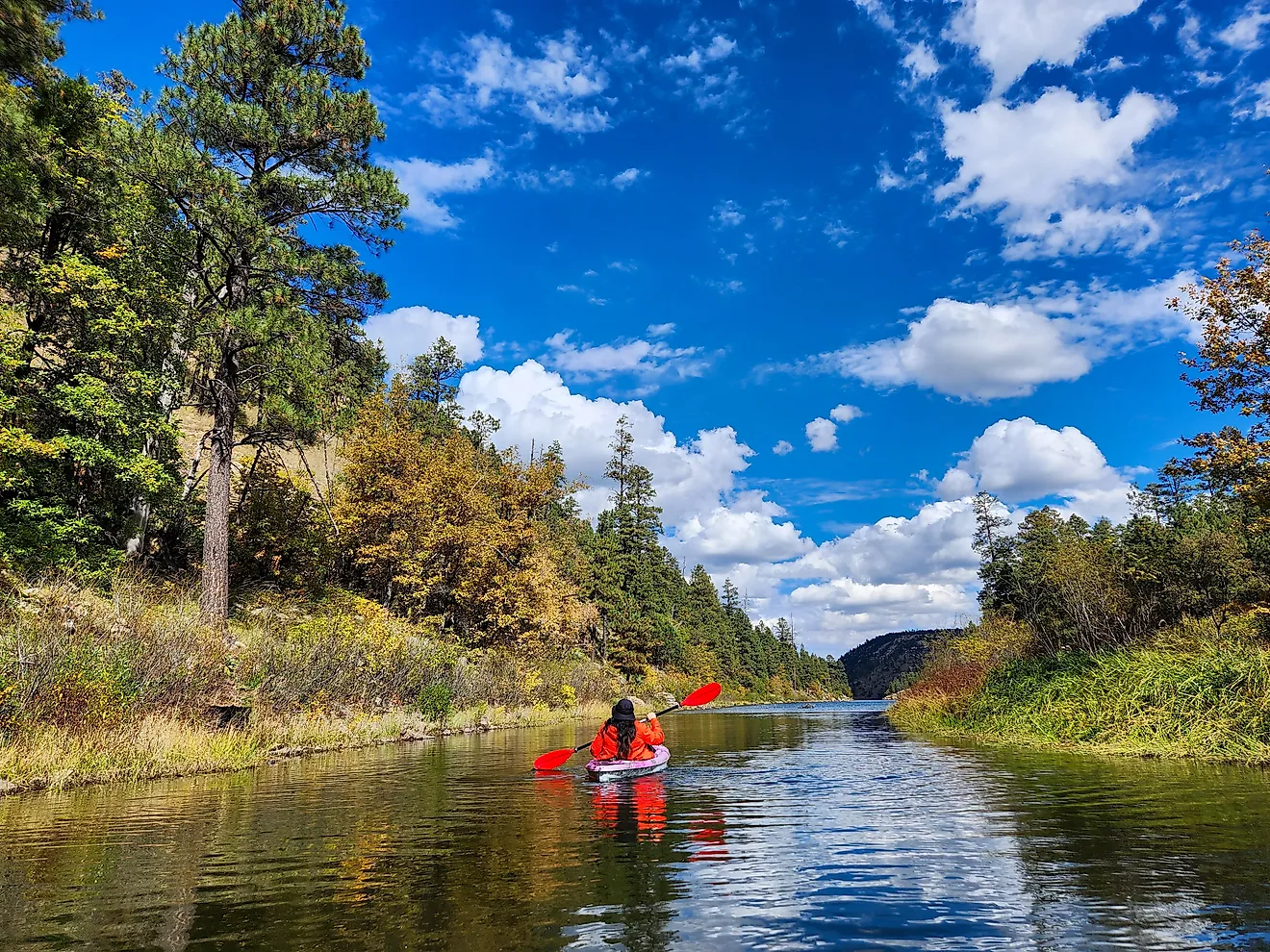
The 20-mile (32 km) Neusiok Trail provides an excellent way to experience the variety of habitats in Croatan, crossing old-growth forests, savannas, and marshland on its route between the Neuse River and Newport River. Canoeing and kayaking are also well suited to the forest, particularly along its tidal waterways and salty estuaries.
Malheur, Oregon

Malheur National Forest presides over a 1.7 million-acre portion of eastern Oregon's Blue Mountains, where high-desert country gives way to ponderosa pine and fir woodlands, along with alpine lakes and lush mountain meadows at higher elevations. Many nature lovers come to explore the Strawberry Mountain Wilderness, where glacially carved valleys surround Strawberry Mountain, the highest point in the forest at 9,038 ft (2,755 m).
Local trails lead to several pleasant bodies of water, too, including Strawberry Lake and Little Strawberry Lake, while Strawberry Falls drops 50 ft (15 m) within the wilderness. Farther north, the forest also contains the Cedar Grove Botanical Area, home to an unusual stand of Alaska yellow cedar that survives far east of its typical range.
A place with plenty of ecological importance, Malheur forms the headwaters of the John Day River system as well, and contains sections of the Malheur and Silvies Rivers designated as Wild and Scenic Rivers, too. This unique combination of desert-like surroundings, mountainous wilderness, and unusually diverse plant communities makes it especially distinctive among the West's national forests.
Tongass, Alaska

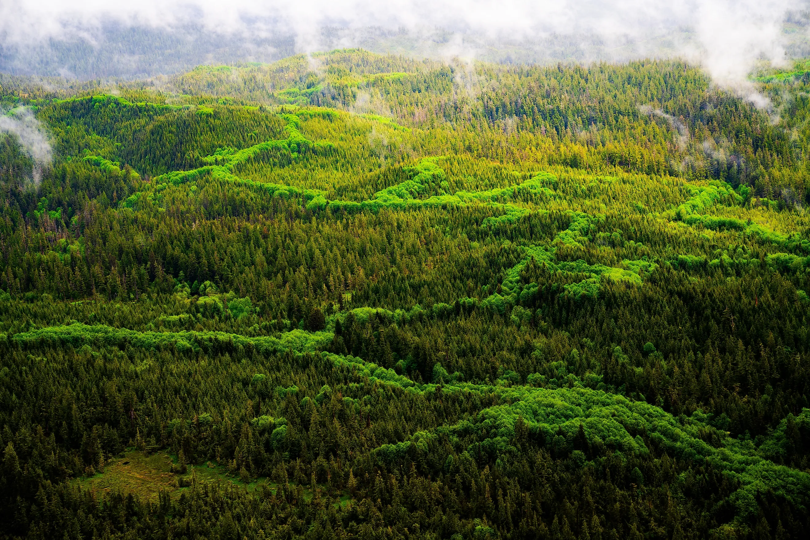
Tongass National Forest in southeast Alaska stretches across a vast network of islands, coastal mountains, fjords, glaciers, and temperate rainforest. At nearly 17 million acres, it is the largest national forest in the U.S. and features some of the most extensive intact temperate rainforest remaining in the entire world. Sitka spruce, western hemlock, and Alaska yellow cedar dominate the region's wetter forests, while muskeg wetlands fill poorly drained areas between the trees.
It is also closely tied to southern Alaska's famous salmon runs. Streams support all five species of Pacific salmon, which in turn provide food for bald eagles, brown bears, wolves, other wildlife, and local human populations.
Several major wilderness areas and national monuments fall within the forest, including Admiralty Island and Misty Fjords. Note that despite its enormous size, much of Tongass is accessible only by boat or aircraft, making its far-flung islands and coastal backcountry difficult to reach without leaving any of the sparse nearby towns and communities behind.
Ouachita, Arkansas and Oklahoma

Ouachita National Forest has a defining feature that separates it from many better-known national forests. Its extensive shortleaf pine forests largely exist due to fire. Prescribed burning is often used to restore and maintain the open pine-and-bluestem communities that historically covered much of the Ouachita Mountains. Spanning across western Arkansas and into eastern Oklahoma, Ouachita also boasts a number of long mountain ridges, valleys, streams, and clear mountain lakes, features you don't normally picture when you think of this central part of the country.
Hiking and camping are major draws, while the forest also supports hunting, fishing, horseback riding, mountain biking, and off-highway vehicle use. Furthermore, six wilderness areas provide more secluded terrain, including Black Fork Mountain Wilderness on the Arkansas-Oklahoma border. The forest's multiple-use role is also evident in its working timberlands, where forest management and recreation usually occur alongside one another.
For you, the Ouachita Mountains will likely provide a different experience from the taller, more dramatic ranges farther east or west. But regardless, its sizable trail system, plethora of campgrounds, and other recreational opportunities make it a hotspot for outdoor adventurers in and around the American South.
Experience America's Wild Side in Peace at these Forests
These federally run woodlands show why the National Forest System deserves more attention from all kinds of travelers, whether backcountry anglers or casual road trippers. But their appeal goes beyond hiking trails and scenic overlooks, encompassing working forests, vital wildlife habitats, pristine waterways, untouched wilderness areas, and ecosystems shaped by fire and other natural processes. For anyone willing to look beyond the most famous parks, these destinations provide a broader view of America's public lands.