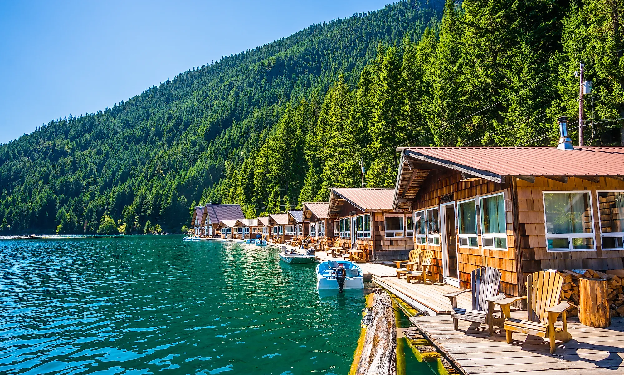
10 Most Underrated National Parks In America
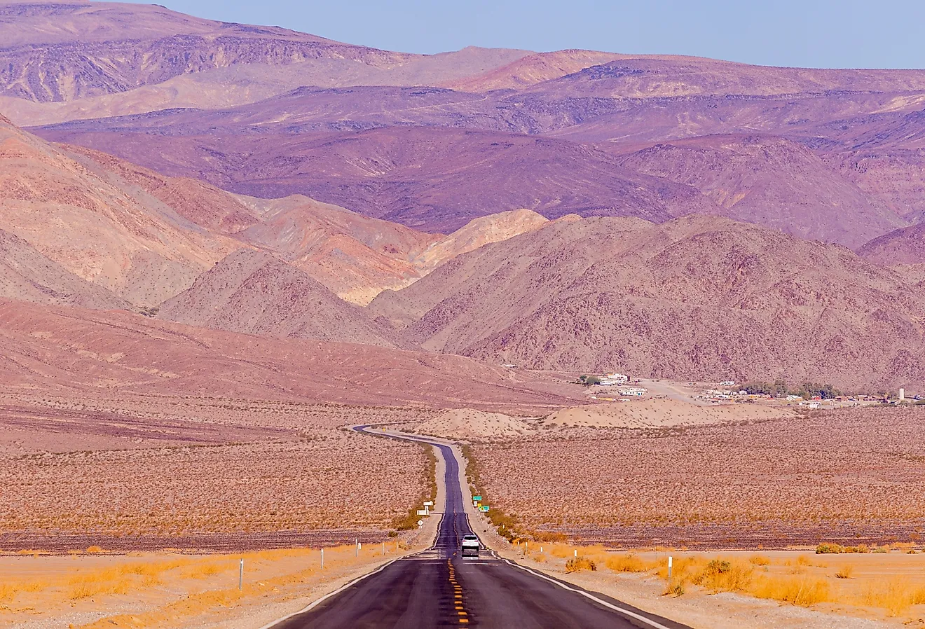
The United States has 63 designated National Parks across 30 states and two territories. The most-visited handful (Great Smoky Mountains, Grand Canyon, Zion, Yellowstone, Yosemite) absorb such a disproportionate share of the traffic that the rest of the system can feel quiet by comparison. The 2024 season set an all-time visitation record at 94 million, but most of those visits clustered in the same well-known parks; many of the parks below saw fewer than 200,000 visitors in the same year. The ten parks here are the ones that consistently deliver landscapes worth the trip without the lines, reservation systems, and shoulder-to-shoulder overlooks that now define the busier parks.
Contents:
- Big Bend National Park
- Isle Royale National Park
- Crater Lake National Park
- Canyonlands National Park
- Great Basin National Park
- North Cascades National Park
- Wrangell-St. Elias National Park
- Great Sand Dunes National Park
- Channel Islands National Park
- Dry Tortugas National Park
Big Bend National Park

Big Bend covers more than 800,000 acres in far southwest Texas, where the Rio Grande makes the long curve that gives the park its name and forms the border with Mexico. Three landscapes converge inside the park: the river canyons (Santa Elena, Mariscal, and Boquillas, all with sheer 1,500-foot limestone walls), the Chihuahuan Desert that surrounds them, and the Chisos Mountains rising to over 7,800 feet at Emory Peak in the center of the park. The Window Trail and the Lost Mine Trail are the standard introductions to the high country, and float trips through Santa Elena Canyon are the standard introduction to the river. Big Bend is also one of the darkest skies in North America, certified as a Dark Sky Park by the International Dark-Sky Association in 2012.
Isle Royale National Park

Isle Royale is the largest island in Lake Superior, set roughly 56 miles from the Michigan mainland and accessible only by ferry from Houghton or Copper Harbor or by seaplane from Houghton. The park is closed entirely from November through mid-April. Total visitation usually lands in the low tens of thousands annually, the lowest of any national park in the lower 48. The reward for the effort to get there is a roadless wilderness with about 165 miles of foot trails, including the 40-mile Greenstone Ridge Trail across the spine of the island, and one of the longest-running predator-prey studies in science. Researchers have tracked the island's wolf and moose populations continuously since 1958. Lake Superior is also the largest collection of preserved Great Lakes shipwrecks anywhere; cold-water wreck diving is a draw for technical divers.
Crater Lake National Park

Crater Lake in southern Oregon sits inside the collapsed caldera of Mount Mazama, a stratovolcano that erupted catastrophically about 7,700 years ago and lost most of its summit. The lake is 1,949 feet deep, the deepest lake in the United States and the ninth-deepest in the world, and it is filled entirely by snowmelt and rain because no rivers flow into or out of it. The water is famously clear and a saturated blue that comes from the absence of dissolved sediments and the depth itself. Wizard Island, the cinder cone that rose from the caldera floor after the main eruption, can be reached by boat tour from Cleetwood Cove during the short summer season. The 33-mile Rim Drive opens fully in July most years and stays open into October. In winter, the park sees over 40 feet of snow on average and switches to snowshoeing and cross-country skiing.
Canyonlands National Park

Utah's Mighty Five draw enormous crowds at Zion and Arches, but Canyonlands, the largest of the five at over 337,000 acres, sees a fraction of the traffic of either. The park is split by the Green and Colorado rivers into three districts that function as separate parks. Island in the Sky is the high mesa accessed from Moab and the location of Mesa Arch, the Grand View Point overlook, and the Shafer Trail switchbacks. The Needles district to the south, accessed from a separate entrance, contains red and white sandstone spires and most of the park's backcountry hiking. The Maze, west of the Colorado River, is one of the most remote and difficult-to-access regions in the lower 48 and requires high-clearance four-wheel drive plus serious self-sufficiency. Whitewater on Cataract Canyon, downstream of the Green-Colorado confluence, holds some of the biggest navigable rapids on the Colorado River system.
Great Basin National Park

Great Basin sits in eastern Nevada near the Utah border, about 290 miles north of Las Vegas and 230 miles west of Salt Lake City. The park's elevation gradient is unusually steep for its size: the valley floor sits around 6,200 feet, and Wheeler Peak rises to 13,063 feet (3,981 m), the second-highest mountain in Nevada. A small group of bristlecone pines on the slopes of Wheeler Peak includes some individuals over 4,000 years old. Lehman Caves, a marble cave system on the lower flank of the mountain, can be visited only on ranger-led tours and contains rare shield formations. Great Basin is also one of the darkest skies in the lower 48 and was certified as an International Dark Sky Park in 2016; the park hosts an annual astronomy festival in September. Total visitation usually runs around 150,000 a year, far less than parks of comparable scale.
North Cascades National Park

North Cascades, three hours northeast of Seattle, holds about 300 active glaciers, more than the rest of the lower 48 states combined. The park is part of a 684,000-acre complex that also includes Ross Lake National Recreation Area and Lake Chelan National Recreation Area, and the boundaries on a map run together in a way that visitors usually do not need to track. Highway 20, the North Cascades Highway, cuts through the heart of the complex from late spring through October but closes through the winter due to avalanche risk. Diablo Lake, with its mineral-blue water from glacial flour suspended in the snowmelt, is the most photographed feature; the trails to Cascade Pass, Maple Pass, and Hidden Lake reach high alpine country quickly from the road. Visitation usually lands around 30,000 to 40,000 a year for the National Park itself, the lowest figures in the contiguous 48 states aside from Isle Royale.
Wrangell-St. Elias National Park

Wrangell-St. Elias is the largest national park in the United States by a wide margin. The park covers 13.2 million acres (about 53,300 square kilometers), larger than Switzerland and larger than each of the nine smallest US states. Four mountain ranges converge inside its boundaries (the Wrangells, the Chugach, the St. Elias range, and the eastern end of the Alaska Range), along with nine of the 16 highest peaks in the United States. The Bagley Icefield is the largest non-polar icefield in North America, and the Hubbard, Malaspina, and Nabesna glaciers descend from the high country toward the Gulf of Alaska. McCarthy and Kennecott, deep inside the park at the end of the gravel McCarthy Road, are the only year-round settlements; Kennecott was a copper-mining boomtown abandoned in 1938 and is now a National Historic Landmark. Wildlife inside the park includes caribou, moose, Dall sheep, mountain goats, grizzly and black bears, and wolves. Visitation runs around 60,000 to 80,000 a year despite the park's size.
Great Sand Dunes National Park

Great Sand Dunes sits in the San Luis Valley of southern Colorado, where prevailing southwest winds funneled sand against the western face of the Sangre de Cristo Mountains for tens of thousands of years and built the tallest dune field in North America. Star Dune and Hidden Dune both rise about 750 feet (230 meters) from the valley floor, and recent measurements have shown the two trading places for the title of tallest. The park sits at over 8,000 feet elevation, which keeps daytime sand temperatures hot but nighttime temperatures comfortable, and Medano Creek runs along the base of the dunes most years from late April through June, drawing sandcastle builders and waders to a strip of beach with no ocean. Sandboards and sand sleds can be rented from outfitters in nearby Alamosa. Beyond the dunes, the park extends into the alpine country of the Sangre de Cristos, with peaks above 14,000 feet on the eastern boundary and the high alpine Music Pass and Sand Creek Lakes accessible to backpackers.
Channel Islands National Park

Channel Islands National Park covers five of the eight islands in the chain off the southern California coast: Anacapa, Santa Cruz (the largest), Santa Rosa, San Miguel, and the smaller and farther-south Santa Barbara Island. Access is by ferry from Ventura or Oxnard or by small plane to Santa Rosa, with no permanent visitor facilities and no overnight lodging beyond primitive backcountry camping. The combination of cold offshore currents and the islands' isolation has produced about 145 endemic plant and animal species, including the island fox, which is endemic to six of the eight islands and was nearly lost to predation by golden eagles in the 1990s before a captive-breeding program brought populations back. Painted Cave on Santa Cruz Island is one of the largest and deepest sea caves in the world. Kayaking, snorkeling, and shore diving are the principal in-park activities, and the surrounding waters of Channel Islands National Marine Sanctuary support some of the densest concentrations of large marine mammals in California waters.
Dry Tortugas National Park

Dry Tortugas is a cluster of seven small islands about 70 miles west of Key West, Florida, in the eastern Gulf of Mexico. The park is roughly 99% water; the entire above-water land area is less than 60 acres. Access is by ferry, seaplane, or private boat from Key West, all of which take a couple of hours one way. The centerpiece is Fort Jefferson on Garden Key, a six-sided coastal fortress whose construction began in 1846 and was never completed; the fort served as a Union prison during the Civil War, including for Dr. Samuel Mudd, who treated John Wilkes Booth's broken leg. The surrounding waters hold some of the most intact coral reefs in continental US waters, and snorkeling directly off the moat wall at Fort Jefferson is the standard introduction. Loggerhead Key, a few miles west, holds the park's lighthouse and the densest concentration of historic shipwrecks. Visitation has hovered around 80,000 a year, capped by the limited daily ferry capacity from Key West.