The Most Rugged Counties In The Rockies
The Rocky Mountains are, well, rocky and rugged. The counties throughout the Rocky Mountain States contain entire mountain ranges, while others have extreme shifts in elevation over small areas. Ruggedness, however, is not simply having the highest mountain (although some counties do). The counties on this list have a combination of fluctuating elevation, mountainous terrain, and large tracts of undeveloped land. San Juan County in Colorado has the highest average elevation of any county in the United States, while almost 100 percent of the land in Teton County in Wyoming is federally protected. These are the most rugged counties in the Rockies.
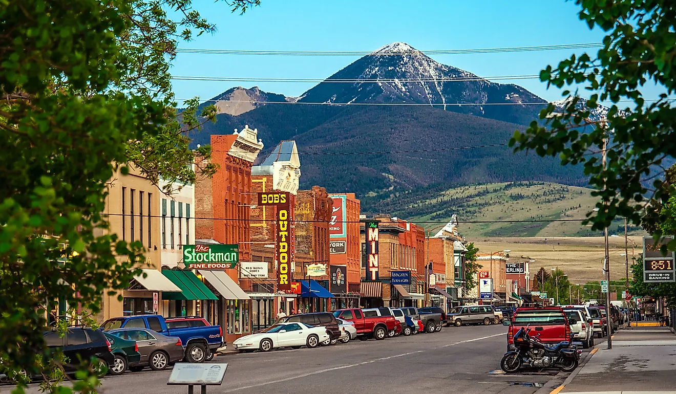
Carbon County, Montana

Carbon County covers 2,026 square miles across south-central Montana. It contains a portion of the Beartooth Mountain range, including Granite Peak, the highest mountain in Montana. The Clarks Fork of the Yellowstone River flows through Bridger, creating a path between the Beartooth Mountains and the Absaroka Range. The Beartooth Highway is regarded as one of the nation's most diverse alpine routes, passing through Montana and Wyoming, reaching an elevation of 10,350 feet in Montana. The route links Red Lodge, the county seat, to Cooke City, which is immediately outside the Northeast entrance to Yellowstone National Park. Due to its elevation, the highway is only open between Memorial Day and mid-October, depending on the weather.
Flathead County, Montana

The western part of Glacier National Park and northern portion of Flathead Lake are included within the borders of Flathead County. Flathead County comprises 5,099 square miles in northwest Montana. Flathead County is home to three prominent mountain ranges: the Flathead, Whitefish, and Lewis Ranges. Amongst these ranges are glacially carved peaks, dense coniferous forest, and an abundance of alpine lakes. Over 50 percent of the land in Flathead County is represented by the Flathead National Forest. The forest is characterized by high alpine basins and broad U-shaped valleys.
Custer County, Idaho

Custer County's diverse landscape is composed of arid desert, flat green valleys, and Rocky Mountain peaks, including the highest in Idaho, Mount Borah, at 12,662 feet. Mount Borah is located in the eastern part of the county, within the Lost River Range. The White Cloud Mountains are also present within the eastern part of the county, while the Sawtooth Range is in the western part. Custer County is located in central Idaho, covering 4,938 square miles. A vast majority of the land is part of national protected areas, with the Challis and Sawtooth National Forests and Sawtooth National Recreation Area in the County.
Idaho County, Idaho

Idaho County sprawls 8,503 square miles, making it the largest county in Idaho, touching both Oregon and Montana. It contains 6,926 square miles of National Forest land, such as the Nez Perce National Forest. Idaho County is in the north-central region of the state, where the Rocky Mountains extend through. The Clearwater, Salmon, and Snake Rivers flow through the county, creating deep valleys and gorges. The Snake River carved out Hells Canyon, the deepest river gorge in North America, which drops close to 8,000 feet. The Hells Canyon Wilderness, a 340-square-mile wilderness area, was created to protect Hells Canyon. The canyon is in a heavily mountainous region, containing 92 named peaks, including the highest in Idaho County, He Devil, at 9,393 feet.
Sublette County, Wyoming

Sublette County is bounded by three mountain ranges: the Wind River Range spanning north to south on the eastern edge of the county, the Gros Ventre Wilderness to the north, and the Wyoming Range on the western side. The valley in the central portion of the county consists of sagebrush steppe. The county covers 4,934 square miles, making it larger than Delaware and Rhode Island combined, despite being only the sixth-largest county in Wyoming. The elevation in Sublette County varies from 6,280 feet in the valley floor to 13,400 feet in the Wind River Range. Approximately 80 percent of Sublette County is public land, remaining largely undeveloped. There is not even a single stoplight anywhere in the county.
Teton County, Wyoming

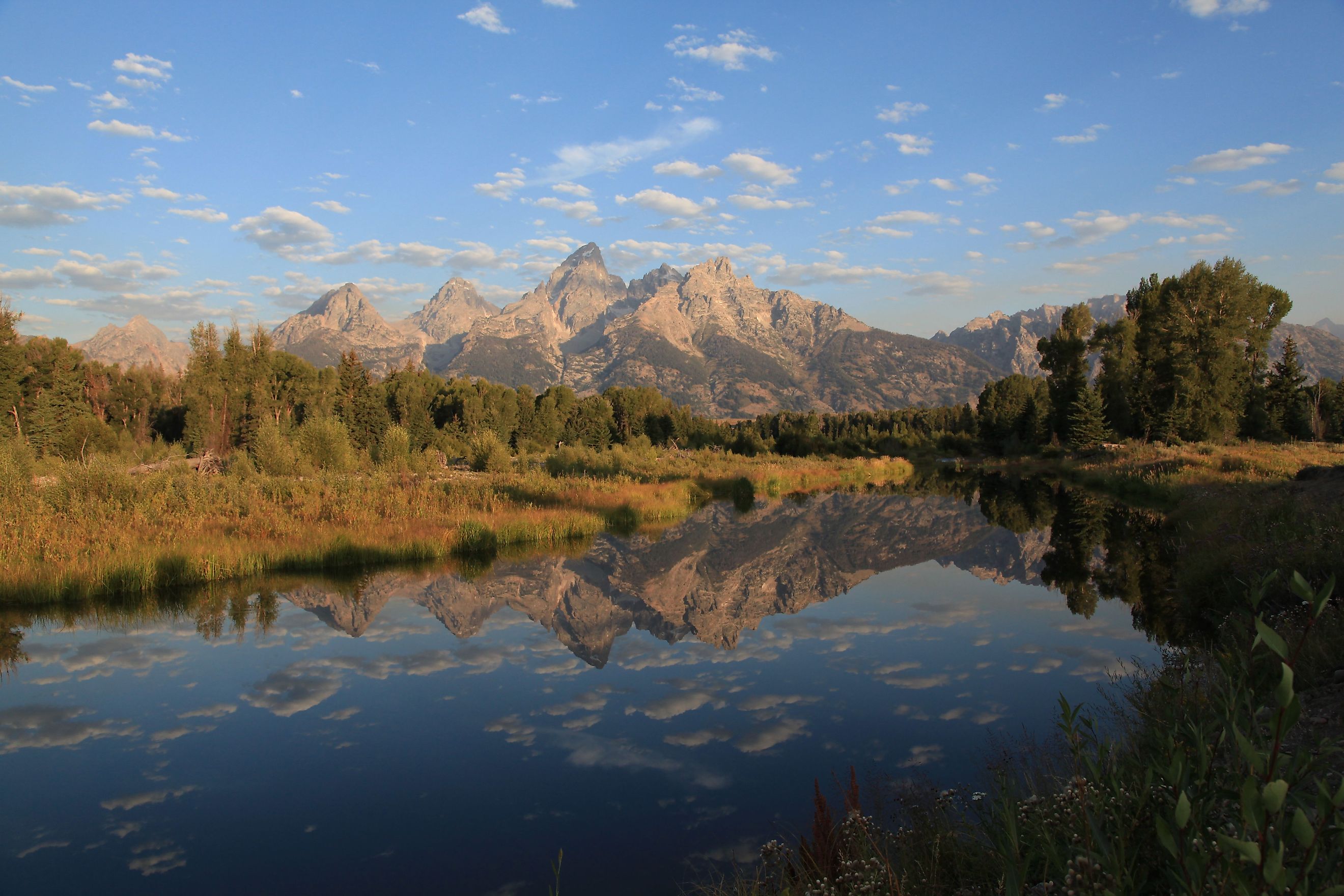
Teton County in northwest Wyoming, of course, includes Grand Teton National Park within its boundaries. The federal government owns 97 percent of the county's 4,008 square mile area. Consequently, Jackson is the only incorporated town in Teton County. Roughly 40 percent of Yellowstone National Park and the entirety of the National Elk Refuge are included in Teton County. The county's namesake Teton Range rises from 6,320 feet on the valley floor to the summit of the Grand Teton at 13,770 feet. Even though the Teton Range was formed around 10 million years ago by pressure on opposite sides of the Teton fault line pushing against one another, the mountainous region is still geologically active, with several small earthquakes still occurring.
San Juan County, Colorado

San Juan County has both the lowest population of any county in Colorado and the highest average elevation of any county in the United States at 11,240 feet. This elevation can be attributed to San Juan County's location in the San Juan Mountains, where there are 13 jagged volcanic summits over 14,000 feet. However, the highest peak within San Juan County is Jones Mountain, which sits just short of 14,000 feet at an elevation of 13,866 feet. The lowest point in the county falls slightly under 8,300 feet, where the Animas River flows south into La Plata County. With a total area of 388 square miles, there are fewer than two people per square mile. Additionally, only one square mile is water, which consists mostly of high alpine lakes in the mountains.
Pitkin County, Colorado

Pitkin County is surrounded by the Elk Mountains of the central Rocky Mountains, which stretch for 50 miles through the county and the neighboring Gunnison County. Several 14,000-foot peaks are within Pitkin County's boundaries of 973 square miles. This includes Castle Peak, the county's highest point at 14,278 feet, which is only 20 miles south of Aspen. Much of Pitkin County's landscape is protected, with large portions of the White River National Forest and four nationally protected wilderness areas: Collegiate Peaks, Holy Cross, Hunter-Fryingpan, and Maroon Bells-Snowmass.
Hinsdale County, Colorado

It is the second least populous county in Colorado. It's covered by mountains, including several 14,000-foot peaks. It only has four miles of paved road. The Continental Divide crosses it twice. Hinsdale County is simultaneously one of the most remote and roadless counties in Colorado and the contiguous United States. Other than the four miles of paved road, the remaining 245 miles of road are all dirt. Over 95 percent of the county's 1,123 square mile area is composed of public land, including three national forests: Rio Grande, Grand Mesa, Uncompahgre and Gunnison, and San Juan. The county is also home to the Slumgullion Earthflow, which slid into the Lake Fork of the Gunnison River, damming it to form Lake San Cristobal.
Lake County, Colorado

Lake County contains the highest peak in Colorado and the entire Rocky Mountains, Mount Elbert, which sits at an elevation of 14,440 feet in the Sawatch Range. It also contains the second-highest mountain in the entire Rocky Mountains, Mount Massive, at an elevation of 14,429 feet. Lake County is located in the near geographical center of Colorado, taking up only 377 square miles. Lake County is the third highest county in the state with an average elevation of 10,790 feet, after San Juan and Hinsdale Counties.
Rugged Rockies
High peaks towering above valley floors. Rivers carving through entire mountain ranges. Expansive protected land. The one defining characteristic of the counties in the Rocky Mountains is the diversity of terrain. Lake County in Colorado contains the highest peak within the entire Rocky Mountains, while Hells Canyon in Idaho County shows that ruggedness can come from dramatic vertical relief. The most varied landscapes in the Rockies are not confined within a single mountain range or state, but within counties of the American West.