This Rockies Scenic Byway Is The Road Trip Of A Lifetime
The Rocky Mountains are a North American mountain range that begins in the provinces of British Columbia and Alberta in Canada and stretches into the United States, reaching as far south as New Mexico. The range is divided into four broad groups that contain at least 100 separate ranges. They are often explored on foot through hikes that lead to panoramic viewpoints of wide mountain valleys. With so many ranges, it can be difficult to see everything on foot, so a scenic road trip can be a practical way to travel through the mountains.
Beartooth Highway

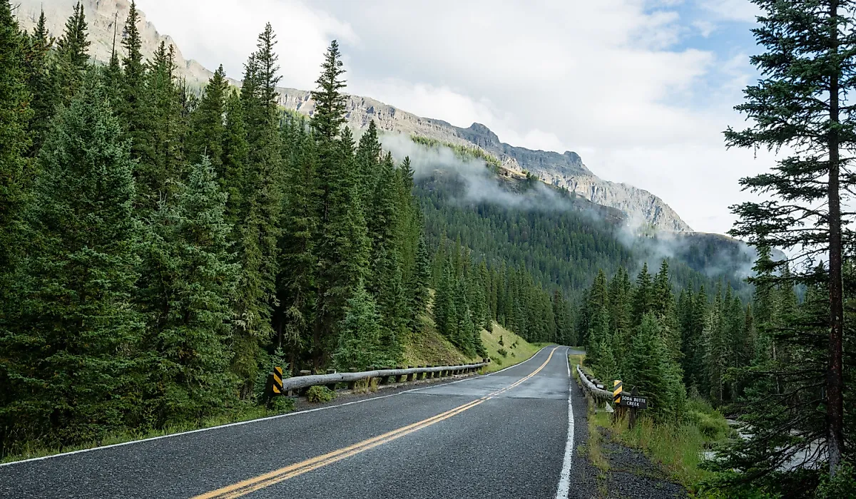
The Beartooth Highway extends 68.7 miles between Montana and Wyoming. It is officially designated as an All-American Road, one of the highest honors in the National Scenic Byway System. The drive takes two to three hours, beginning at Red Lodge, Montana, and ending at Cooke City, Montana, near the northeast entrance to Yellowstone National Park. The highway usually opens on the Friday of Memorial Day weekend and closes in mid-October. Heavy snow or early storms can shift these dates, so travelers should check current conditions before driving.

The road reaches the highest elevation in the Northern Rockies. It moves from dense forests and climbs almost 11,000 feet to open views of rocky peaks, glaciers, and alpine lakes in the Beartooth Mountains. The highway passes through one of the highest areas in the Contiguous United States, with over 20 peaks rising to elevations of 12,000 feet.
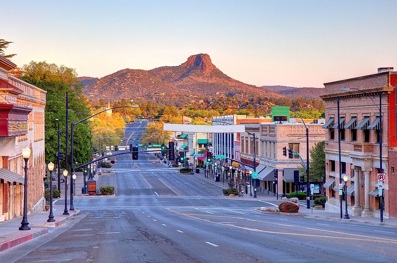
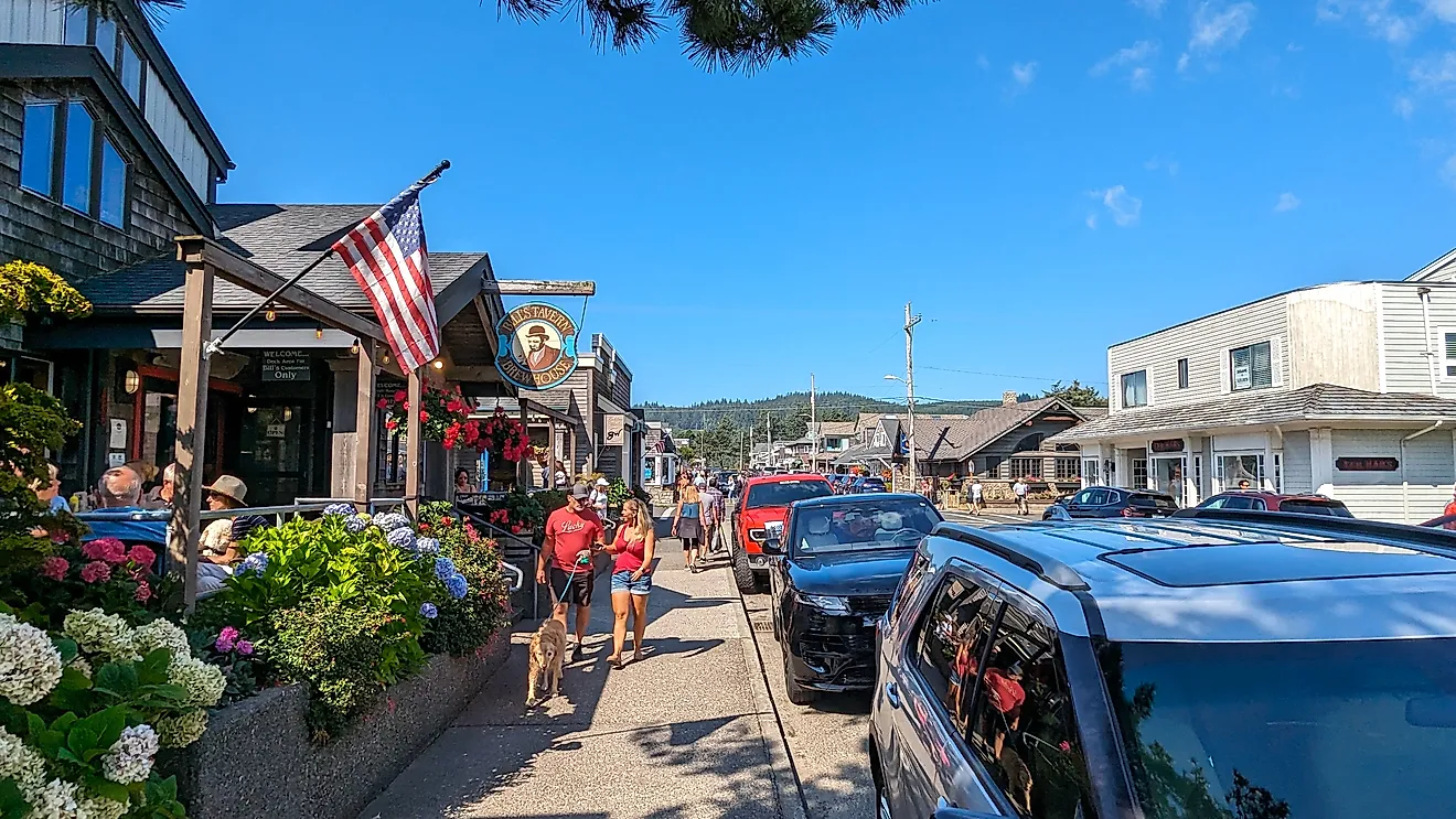
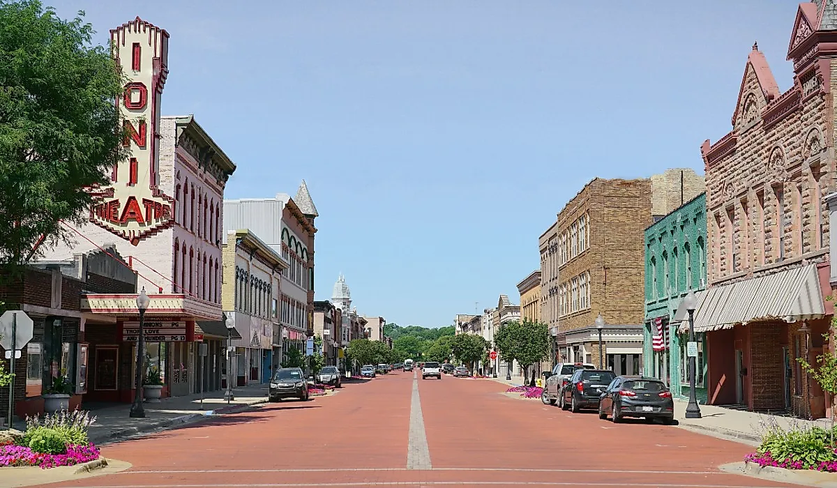
Red Lodge

Red Lodge is a historic town where the route for the Beartooth Highway starts. The town reflects its Wild West history in its downtown, which is lined with Old West style saloons. Red Lodge has activities for families, including galleries, museums, restaurants, and outdoor areas for children. Whether you spend a few days or a week in Red Lodge, when it is time to move on, you can take U.S. Highway 212 to begin the Beartooth Highway.

The first stop on the highway is 21 miles outside Red Lodge. The Vista Point Rest Area, at 9,190 feet in elevation, has a short trail with informative panels that describe the area’s natural history and the construction of the highway.
From here, the drive continues in a steady sequence of stops, creating a simple day-by-day route through the mountains.
Beartooth Basin Summer Ski Area
Many travelers treat this as the second main stop on the route, placing Vista Point earlier in the day and reaching this area by midday. From there, you cross the border into Wyoming and arrive at the Beartooth Basin Summer Ski Area. You can stop and watch the skiers or, if you have the time and skill level, ski on nine trails and 1,000 vertical feet of lift-served terrain. Due to the remote location, it is best to come prepared if you plan to ski, since there is no lodge, equipment rental, or warming hut. Whether you are watching or skiing, this is a notable stop along the highway, open from May to July.
Gardner Lake

The trail to Gardner Lake is popular among hikers and takes about an hour for a round trip. It is one of the highest trails in the Beartooth Mountains, at an elevation of 10,550 feet. It is also one of the best places to view the Bear’s Tooth, a pyramid-shaped structure rising from the granite mountains in the distance and giving its name to both the highway and the mountain range. Wildlife viewing is common in the area, with the possibility of seeing mountain goats, moose, elk, marmots, mule deer, black bears, grizzly bears, and wolves.
Top of the World Store

Just past the halfway point on the highway, 38 miles from Red Lodge and 25 miles from Cooke City, is the Top of the World Store at 9,400 feet in elevation. Here you can refuel the car, buy snacks for the road, or book lodging for the night if you want to spend more time on the highway or avoid snowy conditions, depending on the weather and month. There are also opportunities for camping, hiking, and fishing during the summer months.
Crazy Creek Falls
Crazy Creek Falls is the final stop in Wyoming. It is not a large cascading waterfall, but it forms a long waterslide effect as the water from the creek flows down a 450-foot ramp of bedrock, creating a rushing flow that drops about 110 feet in total. During the summer, when glaciers thaw and melt, the volume of the falls increases and produces a stronger flow of water that remains an impressive feature.
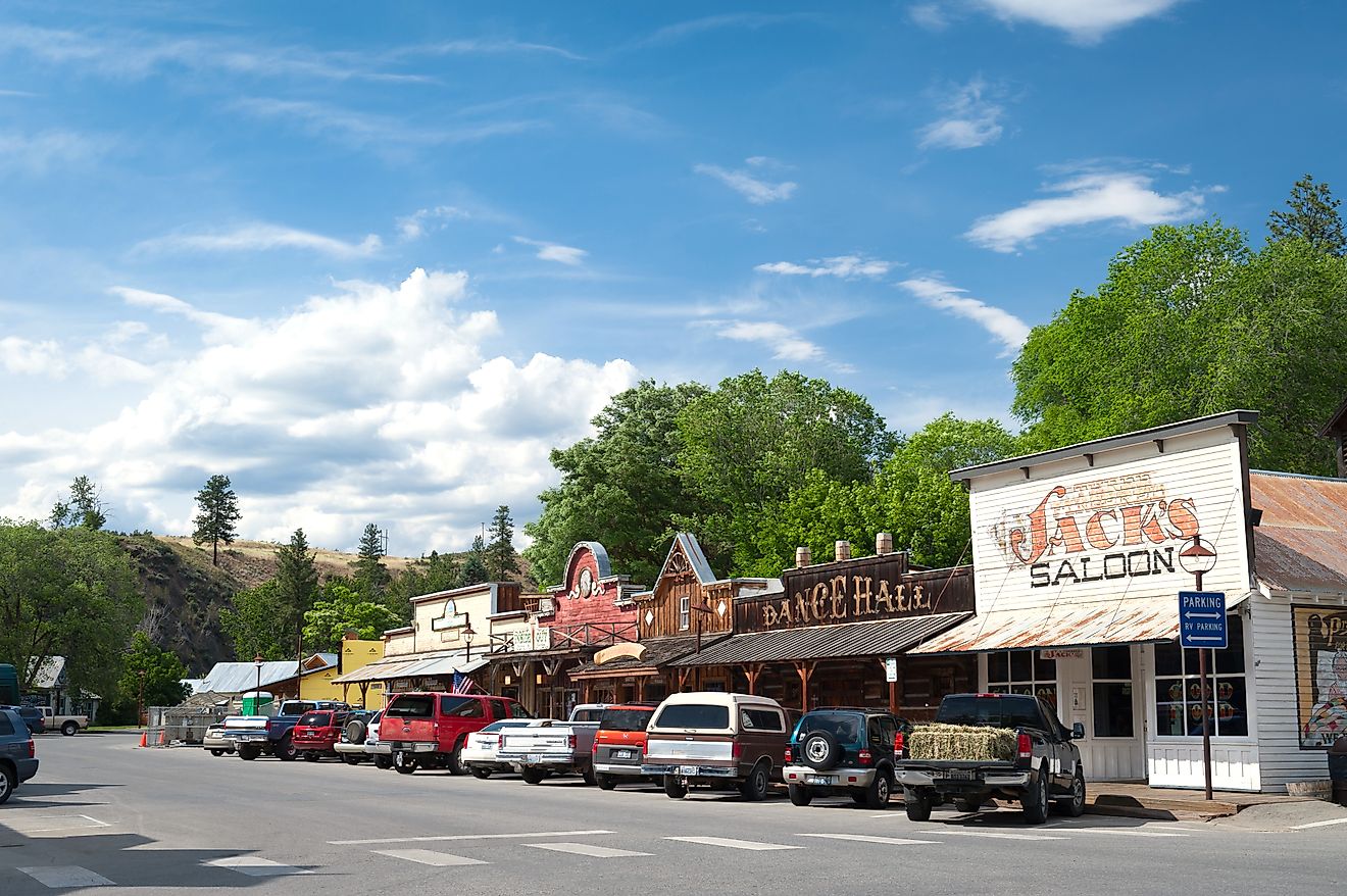
Cooke City

Finally, you cross the border back into Montana and reach the town of Cooke City, a small unincorporated community about a three-hour drive from Bozeman. Its mountain setting allows for outdoor activities that include hiking, boating, fishing, snowmobiling, and wildlife viewing. Many of the accommodation and dining options close during early spring and late fall. During summer and winter, the area has lodging in rooms, suites, apartments, and homes, along with bistros, take-out, and fine dining options.
End of the Route Toward Yellowstone

The Beartooth Highway has scenic overlooks, short trails, rest areas, and reliable places to refuel and pick up supplies. Each part of the drive brings a different experience, from early summer skiing to views of high alpine lakes and strong waterfall flow during the warmest months. At the end of the route, travelers pass through Silver Gate and continue toward the northeastern entrance of Yellowstone National Park if they want to extend the trip.