The Counties Straddling The Continental Divide
In parts of the American West, a single mountain ridge can determine whether melting snow ultimately drains toward the Pacific or toward the continent's eastern river systems. That ridge, the Continental Divide, passes through or along counties in Montana, Idaho, Wyoming, Colorado, and New Mexico on its route between Canada and Mexico.
"Straddling" can mean two different things here. In some counties, the Continental Divide crosses the interior, leaving land on both sides of the watershed boundary. Elsewhere, the ridge itself forms part of a county or state border, so the county touches the Divide without being split by it. That distinction matters in places such as the Montana-Idaho border and the Colorado Rockies, where political boundaries often follow the same high ridges that separate watersheds.
Montana

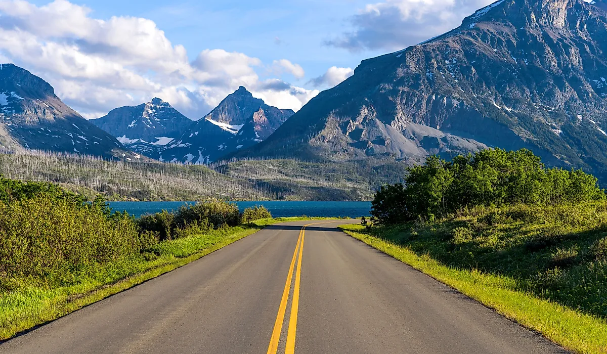
The Continental Divide enters the United States in northern Montana, where it cuts through the heart of Glacier National Park. Within the park, the Divide comes south along the Livingston Range before crossing east to the crest of the Lewis Range, which carries it the rest of the way through Glacier. Glacier National Park itself occupies parts of both Flathead and Glacier counties, placing one of the country's most dramatic watershed boundaries amid some of its best-known alpine scenery.
Glacier also demonstrates that the watershed story is more complicated than a simple Atlantic-versus-Pacific split. Near Triple Divide Peak, drainage separates toward the Pacific Ocean, the Mississippi-Missouri system and Gulf of Mexico, and Hudson Bay. The result is one of the most unusual hydrological junctions in the Lower 48. Farther south, the Divide passes through the mountain country surrounding Helena. The Helena-Lewis and Clark National Forest includes terrain in Lewis and Clark, Powell, and Jefferson counties around the Continental Divide.

The line then reaches the high country around Butte and the Beaverhead-Deerlodge National Forest. Near Butte, the surrounding mountains separate streams feeding the Columbia River basin from those flowing eastward. Southwest of there, the Divide becomes especially important politically as well as geographically. In Beaverhead County, it reaches the Beaverhead and Centennial mountains, where long stretches of the Continental Divide also form the Montana-Idaho state boundary.
Idaho's State Line Divide

Idaho is easy to overlook in a county-by-county account because much of its relationship with the Continental Divide is different from that of Colorado or New Mexico. Rather than slicing deeply through the state, the Divide forms portions of Idaho's eastern boundary with Montana. The Bureau of Land Management describes the Continental Divide and associated mountain ranges as part of Idaho's eastern edge. Lemhi County provides one of the clearest examples. Near Lemhi Pass and the Beaverhead Mountains, Idaho land rises directly to the Divide and the Montana line. The Eighteenmile Wilderness Study Area, about 15 miles southeast of Leadore in Lemhi County, reaches the steep terrain along the Continental Divide, while Lemhi Pass itself marks the Idaho-Montana boundary.
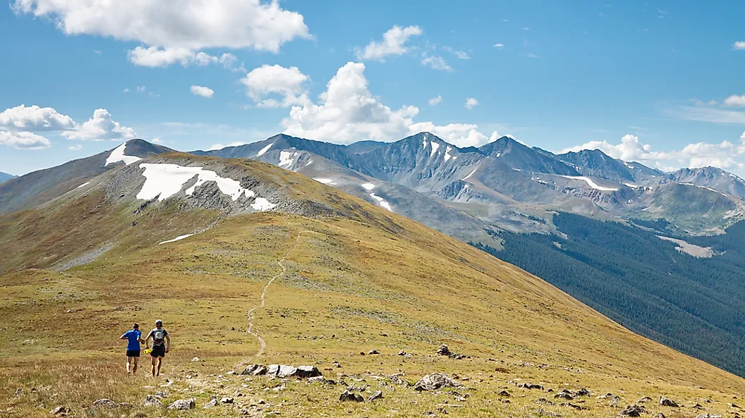
Farther southeast, the same pattern continues through the Centennial Mountains. Here again, the Continental Divide follows the high country separating Idaho and Montana rather than simply cutting across the middle of an Idaho county. The mountains form part of the interstate boundary, and roughly 60 miles of the Continental Divide National Scenic Trail follow this remote range.
Wyoming's Divide Splits In Two

The geography becomes stranger in Wyoming. The Continental Divide winds through Yellowstone National Park rather than following a straight north-south ridge. On the road between Yellowstone's South Entrance and the Old Faithful area, travelers cross the Divide three times. At Craig Pass, 8,262 feet (2,518 m) above sea level, tiny Isa Lake sits directly on the watershed boundary. South of Yellowstone, the Divide follows the high country of the Wind River Range. This ridge helps separate the Fremont County side of central Wyoming from the Upper Green River country around Sublette County. Wyoming Game and Fish describes its Pinedale region as bounded on the east by the divide of the Wind River Range.

The state's strangest Continental Divide feature appears farther south in the Red Desert. Instead of remaining a single line, the Divide branches around the Great Divide Basin, an internally drained basin whose water does not naturally reach either ocean. Sweetwater County contains a large part of this unusual landscape, while the broader basin reaches toward the Rawlins area and Carbon County.
Colorado's Rocky Backbone

No state makes the relationship between counties and the Continental Divide more visible than Colorado, where the Divide runs down the backbone of the Rocky Mountains. In Rocky Mountain National Park, the Continental Divide runs for about 42 miles (68 km). One of the easiest places to stand directly on it is Milner Pass, where Trail Ridge Road crosses the Divide at about 10,759 feet (3,279 m). The park's high ridges place Larimer and Grand county landscapes on opposite sides of the watershed. Farther south, the Divide reaches the heavily traveled mountain corridors west of Denver. Clear Creek and Summit counties meet some of Colorado's best-known high country around the Divide, including the Loveland Pass area.

The pattern repeats through the central Rockies. At Independence Pass, Colorado Highway 82 crosses the Continental Divide at 12,095 feet (3,687 m) between the Lake County and Pitkin County sides of the Sawatch Range. It is the highest paved state highway crossing of the Continental Divide in Colorado. South of there, U.S. Highway 50 crosses the Divide at Monarch Pass at 11,312 feet (3,448 m) between the Gunnison and Arkansas River sides of central Colorado. The Continental Divide continues south from Monarch toward Marshall Pass through the high country associated with Gunnison, Chaffee, and Saguache counties. The ridge then winds through the San Juan Mountains, bringing counties such as Mineral, Rio Grande, Archuleta, and Conejos into the Continental Divide corridor before the watershed line reaches New Mexico.
New Mexico's High Forests And Desert Border

After leaving Colorado, the Continental Divide changes character dramatically. Alpine peaks give way to high plateaus, volcanic terrain, forested mountains, and eventually desert as the watershed boundary works south through western New Mexico. In northern New Mexico, the Divide and the closely associated Continental Divide National Scenic Trail pass through the high country west of the Rio Grande Valley. The Santa Fe National Forest alone contains more than 43 miles (69 km) of the trail on its Cuba and Coyote ranger districts. Farther west, Cibola County provides one of the most accessible encounters with the Continental Divide corridor. The route passes near Grants before continuing through the volcanic landscape around El Malpais. About 30 miles (48 km) of the Continental Divide National Scenic Trail wind through El Malpais National Monument and the adjoining National Conservation Area, crossing a landscape of lava flows, cinder cones, and sandstone country.

South of Cibola County, the Divide enters increasingly isolated country associated with Catron and Grant counties. The Gila National Forest, which spans Catron, Grant, Hidalgo, and Sierra counties, contains 248 miles (399 km) of the Continental Divide National Scenic Trail. The surrounding landscape includes high forests and the Gila Wilderness, part of one of the largest expanses of relatively undeveloped country along the Divide in the Southwest. The Divide finally reaches the desert landscapes of southwestern New Mexico before crossing the international border into Mexico. Hidalgo and Grant counties are among the southern New Mexico counties directly associated with this final U.S. stretch.
One Divide, Several Kinds Of County Geography
In Montana and Colorado, the Divide sometimes crosses county interiors and sometimes doubles as a county boundary. Along parts of Idaho, it becomes a state line. In Wyoming, it splits around an enormous closed basin. In New Mexico, it leaves the highest Rocky Mountain terrain behind and continues through forests, lava fields, plateaus, and desert.
That variety is what makes the county geography of the Continental Divide interesting. The same invisible hydrological rule, water falling on opposite sides ultimately following different drainage systems, can appear on the ground as a mountain peak, a highway pass, a county edge, or even a state boundary. For communities along the Divide, the line separating watersheds is often also one of the most important lines on the map.