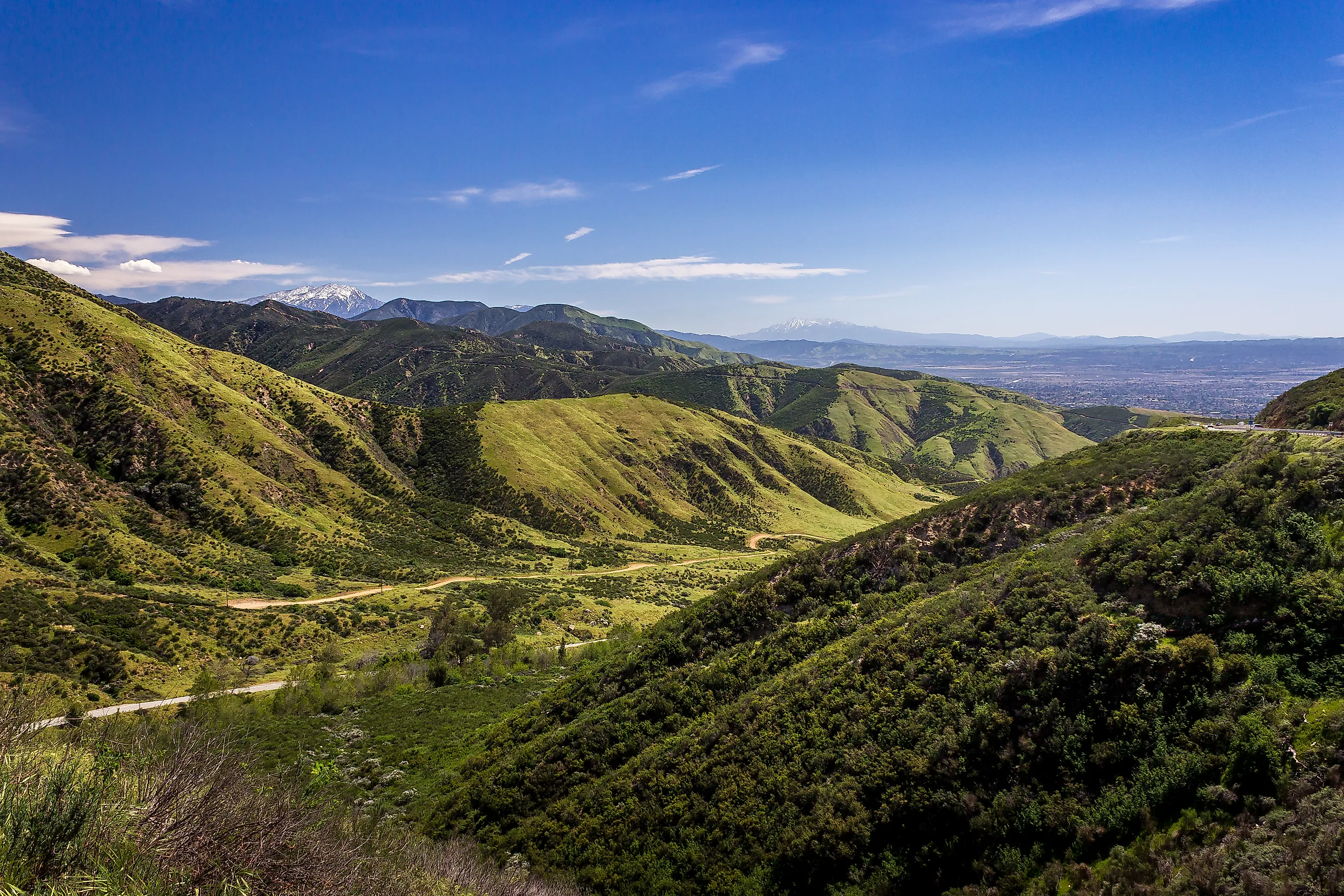
The Largest County Outside Alaska
San Bernardino County in California is the largest county outside of Alaska, which is only discounted based on semantics, as it uses boroughs instead of counties. At 20,105 square miles, San Bernardino is more than 1,400 square miles larger than the second-largest county in the US, Coconino County in Arizona. In fact, it is larger than 9 US states, including Maryland, Hawaii, Massachusetts, Vermont, New Hampshire, New Jersey, Connecticut, Delaware, and Rhode Island. Given its size, the land and population are understandably diverse, with 24 incorporated cities and 6.1 million acres of recreational land, and it is home to both the Mojave Desert and Joshua Tree National Park.
History

California has been the home of hundreds of thousands of Indigenous peoples since well before the arrival of Europeans. In San Bernardino County itself, the Yuhaaviatam, a clan of the Maara'yam (Serrano) people whose name means people of the pines, is a federally recognized Tribe known as the Yuhaaviatam of San Manuel Nation.
California was first visited by Spanish navigators in 1542 under Juan Rodriguez Cabrillo. Spain, however, took little interest in the region, only sending the Franciscan order to establish missions on the coast in 1769. This religious order was the only real European presence in California.
Mexico gained control of California following its independence from Spain in 1821 and began secularizing the missions, which negatively impacted the Native people, who now had only private landlords to deal with. They left the missions behind and settled in their original territories. Americans first took an interest in California in the early 1840s and began settling there. In 1848, the US won control of California in the Mexican-American War. Not long after, gold was discovered, and the resulting Gold Rush drew a wave of arrivals across the late 1840s and 1850s. With this huge population increase, California was declared a state in 1850.

The land around San Bernardino itself was originally an asistencia, an outpost of Mission San Gabriel. The name San Bernardino originated with Franciscan missionaries, who named the site for Saint Bernardino of Siena. The outpost was destroyed in 1832 by Native Americans. Although it was rebuilt, the secularization edict from Mexico caused it to be abandoned. Afterward, the land was primarily used for ranching, and in 1851, the San Bernardino Rancho was purchased by Mormons, who primarily grew crops rather than raising cattle.
These Mormon settlers sought to incorporate the vast ranch settlement and beyond, and to manage routes between Southern California and Salt Lake City, Utah. Jefferson Hunt, a Mormon and member of the California State Assembly, called for a vast county to be created by combining sections of Los Angeles, San Diego, and Mariposa Counties. In April 1853, California approved this plan, officially forming San Bernardino County, and San Bernardino City was named the county seat in 1854. However, in 1857, Brigham Young recalled the settlers to Utah. Only about half of the 3,000 settlers returned; the rest stayed in the county.
Demographics and Cities

The US census puts the population of San Bernardino County as of July 1, 2025, at 2,224,091. This represents a growth of 1.9% since 2020. Overall, the population density is 110 persons per square mile throughout the county, although it rises to 3,266 in the populous Valley Region. Of this population, 29.9% are under the age of 18, while 14.6% are age 65 and over. The racial demographics of San Bernardino County are quite diverse, with just under 57% of the population identifying as Hispanic or Latino. In addition, 46% report speaking a language other than English while at home.
The two largest cities in the county by population are San Bernardino City, with an estimated population of 222,044, and Fontana, with a population of 221,223. Fontana has seen a significant growth of 6.1% from 2020. If this growth continues, it will surpass San Bernardino City as the most populous city. In contrast, the two smallest cities by population are Needles with 4,801 people and Big Bear Lake with 5,018 people.
Geography

Given its size, the county can be broken down into four specific regions: the Valley, Mountain, East Desert, and North Desert. The Valley is home to the largest cities in the county and has mountain ranges to the north, east, and south. To the north of the Valley in the Mountain region are the San Bernardino Mountains. This range contains 126 named peaks, and their foothills are visible from San Bernardino City itself, including the Arrowhead, a 1,375-foot-long by 449-foot-wide quartz formation that resembles a Native American arrowhead.
The highest peak in this area is Mount San Gorgonio, standing at 11,503 feet. It's the highest mountain in Southern California, and it has the longest line of sight of any mountain in the contiguous US. One can view it from the top of Mount Whitney, 190 miles away. Outside the Mountain region are the East Desert, which makes up 17% of the county's land area, and the North Desert, which makes up 77%. Both of these regions are part of the Mojave Desert. This desert covers more than 25,000 square miles across southeastern California, southern Nevada, northwestern Arizona, and southwestern Utah. Creosote bush and Joshua trees dominate both desert regions, alongside several cactus species. Some of the landscape is made of salt flats, which receive borax and salt from sand and gravel basins. Rainfall is quite sparse here, with an annual precipitation of just 2 to 6 inches.
Parks

San Bernardino County contains both Joshua Tree National Park and the San Bernardino National Forest. Joshua Tree National Park sits at the border of the Mojave and Colorado Deserts, and the border of San Bernardino County and Riverside County. Named after the desert trees themselves, it is also home to the often photographed Arch Rock, which was formed through molten liquid that flowed up to the surface and cooled, leaving behind a granite rock known as monzogranite.

The San Bernardino National Forest also cuts through San Bernardino and Riverside Counties. Due to its close location to the Inland Empire, it's been called the most urban forest in the nation. It still offers long backcountry routes such as the Art Smith Trail, which ascends 1,400 feet over 8.3 miles and opens views across the Coachella Valley to the Little San Bernardino Mountains and Joshua Tree National Park.
San Bernardino's regional parks are also quite popular, including Mojave Narrows Regional Park, home to meadows, cottonwood stands, and a resident bird and mammal population drawn to the Mojave River. One of the most unusual of the county's parks is Calico Ghost Town Regional Park. This is a mining town that was established in 1881 but abandoned in the 1890s due to a collapse in the value of silver. Here, one can see historic buildings, go on a silver mine tour, see a 19th-century cemetery, and even go to an old-timey saloon.
Putting San Bernardino County's Size Into Perspective
San Bernardino County is more than 9,000 square miles larger than the next largest county in California, Inyo County. The vast majority of that size comes from the Mojave Desert, followed by mountain ranges. Only 2% of the total land mass comes from the populous Valley region. With so many cities, regional, and national parks, San Bernardino County is a highly diverse place providing economic opportunities and recreation for its more than 2.2 million residents.