The 11 Can't-Miss Towns On The Pacific Coast
Each of these 11 towns along Highway 1 and U.S. 101 is on the list for one view worth the drive. In California, that view is often at the bottom of a staircase, like the stairs that lead from a cliff-top park in Orange County down to the tide pools below. On the Oregon coast, timing matters. A 235-foot sea stack can be reached on foot only at low tide, and a craggy hole in the rocky shore farther south is most active within an hour of high tide.
The last stop, at the northeast tip of Washington's Olympic Peninsula, has a lighthouse at the edge of a state park that is a popular spot for sunset photos. In November, the summer crowds have thinned, and male elephant seals start arriving on the Central Coast at the end of the month. Below are 11 Pacific Coast towns that need to be on your next road trip itinerary.
Laguna Beach, California

At the southern end of the trip, Laguna Beach's best views are along Cliff Drive, where Heisler Park follows the top of the bluff above the rocky shore and small beaches, and artists are often at work along the paths. Stairs in front of Las Brisas restaurant lead down to the Heisler Park tide pools, which the Laguna Ocean Foundation rates for beginners, and they are best explored when the tide is 2.5 feet or lower. The foundation also suggests checking in with a lifeguard on arrival. Rockpile Beach is reached by another set of stairs in the park.
North along Cliff Drive, Crescent Bay Point Park overlooks a beach enclosed by rocky points, and stairs at Circle Way lead down to its tide pools. The Laguna Art Museum is on the same road, at 307 Cliff Drive. South of downtown, the stairway to Thousand Steps Beach near 9th Street is about 230 steps long. Every summer, real people pose as the figures in re-created famous artworks at the Pageant of the Masters, held in the 2,600-seat Irvine Bowl.
Cambria, California

On the Central Coast, a walk on the Moonstone Beach Boardwalk is the usual way to see Cambria's shoreline. The boardwalk starts at Shamel Park and heads north for about a mile. The path is rated easy and is wheelchair-accessible, and on the beach below, smooth, polished stones turn up in the sand.
Cambria's other ocean walk is the Bluff Trail at Fiscalini Ranch Preserve, a free one-mile loop with wide-open views of the Pacific, where dogs are welcome on a leash. Starting November 27, more than three million lights cover the grounds of Cambria Pines Lodge for the Cambria Christmas Market, which has artisan vendors and a train ride through December 31. Tickets start at $25.
About seven miles north of San Simeon on Highway 1, the Piedras Blancas elephant seal rookery is free and open daily, though there are no restrooms at the viewing area. The season begins when mature males arrive at the end of November. The first pups are usually born in mid-December, and December through March is one of the most popular times to visit.
Carmel-by-the-Sea, California

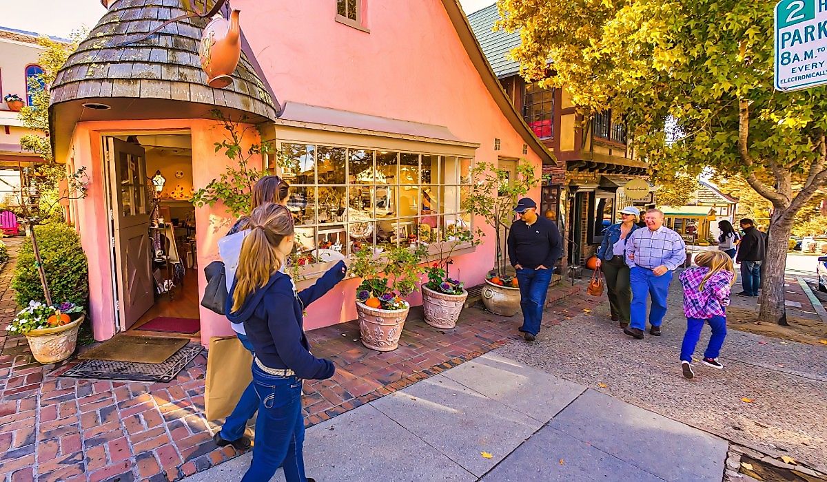
Up the coast past Big Sur, a walk to the bottom of Ocean Avenue in Carmel-by-the-Sea ends at Carmel Beach, where wooden stairways lead down to the white sand. From there, the Scenic Pathway follows Scenic Road south toward Carmel River State Beach, with more stairways down to the beach along the way.
Just south of town, Point Lobos State Natural Reserve has four ADA-compliant trails, and the Lace Lichen Trail leads out to Sea Lion Point. Parking inside the reserve is limited to 150 vehicles, so the Point Lobos Foundation recommends arriving before 9:30 a.m., and entry is $10 per car. Back in the village, galleries stay open between 4 and 7 p.m. on the second Saturday of every month for the Carmel Art Walk, with the next ones on November 14 and December 12. La Bicyclette, which the Michelin Guide calls a quintessential bistro, is in the village too.
Sausalito, California

On the Marin side of the strait, Sausalito's best-known view is of the Golden Gate Bridge itself. From Battery Spencer in the Marin Headlands, just south of town, the bridge is in the foreground with San Francisco behind it, and the battery is one of the most popular places to photograph both. To reach it, follow Bridgeway south and take Alexander Avenue under U.S. 101 to Conzelman Road, where the battery is at the first roadside turnout and parking is limited. Sausalito's own waterfront is Bridgeway, a promenade lined with boutiques and restaurants along the length of downtown. The Bay Model Visitor Center, a working hydraulic model of San Francisco Bay run by the U.S. Army Corps of Engineers, is free to visit, and Golden Gate Ferry boats cross between Sausalito and San Francisco, so a day trip from the city is possible without a car.
Mendocino, California

Gray whales pass the Mendocino Coast on their winter migration, and the 70-foot bluffs of Mendocino Headlands State Park, which surrounds the village of Mendocino on three sides, are one place to watch for them. The Mendocino Land Trust suggests allowing at least an hour for the loop around the 347-acre park, with rocky offshore islands and tide pools below the bluffs.
Inside the loop, the village is small enough to cover on foot. The Mendocino Art Center has galleries, and Frommer's counts Gallery Bookshop among the best independent bookstores in Northern California. For dinner, Café Beaujolais serves French food in a yellow house on Ukiah Street.
North of the village, Russian Gulch State Park has a three-quarter-mile Headlands Trail to an overlook above the Devil's Punchbowl, a sinkhole near the shore. Farther along, Point Cabrillo Light Station has a lighthouse museum, and its grounds are open daily until sunset.
Trinidad, California

Hikers on Trinidad Head, a headland beside the small harbor town of Trinidad on Humboldt County's North Coast, gain about 350 feet on the way up, and the Bureau of Land Management describes the trail as having the best overall views of the coastline and nearby rocks. Above the harbor, the Trinidad Memorial Lighthouse, a replica, has panoramic views of Trinidad Bay, where whales and sea lions are sometimes seen. For lunch, Seascape Restaurant at the pier serves clam chowder, and the Lighthouse Grill sells a mashed potato cone.
In the afternoon, nearby Sue-meg State Park has six miles of trails, many with long ocean views. From the Rim Trail, harbor seals and sea lions may be seen on the rocks below, and with luck, a gray whale offshore.
Bandon, Oregon

Across the Oregon state line, the beach in Bandon is dotted with tall offshore rocks, and Face Rock State Scenic Viewpoint, on the bluff above it, is named for one of them. A stairway and trail below the viewpoint lead down to the sand. In spring and summer, a team of beach artists and volunteers draws walkable labyrinths into the beach below at low tide for Circles in the Sand.
Old Town, about 10 square blocks with a waterfront boardwalk, has the Washed Ashore gallery at 250 1st Street SW, and the Coquille River Lighthouse is visible across the river. Along the bluff at Coquille Point, more than 100 stairs lead down to the beach for tide pooling and beachcombing. Cosmo, a tufted puffin that Washed Ashore made from beach plastic found around Bandon, faces the ocean there, and the benches nearby are a good spot to watch for migrating gray whales.
Yachats, Oregon

On the central Oregon coast, the best-known sights near Yachats depend on the tide. Thor's Well, a craggy hole in the rocky shore at Cape Perpetua, is most active within an hour before or after high tide, and Travel Oregon recommends watching it from the Cook's Chasm viewpoint. The nearby Devil's Churn can be quite dangerous, and sneaker waves are a risk here, so keep a safe distance and never turn your back on the ocean. The Cape Perpetua Visitor Center, two miles south of town on U.S. 101, is open 10 a.m. until 4 p.m. Tuesday through Sunday in winter, and a $5 per-vehicle day-use fee applies in the scenic area, which has about 26 miles of trails. Back in Yachats, the 804 Trail follows the shore for about 1.7 miles from Yachats State Recreation Area, with Smelt Sands State Recreation Site about halfway. Luna Sea Fish House fries its fish in a light, delicate batter, and Heidi's Italian Dinners is known for its Dungeness crab ravioli. About 14 miles south, paths from the Heceta Head Lighthouse keeper's house lead both to the beach and to the lighthouse.
Cannon Beach, Oregon

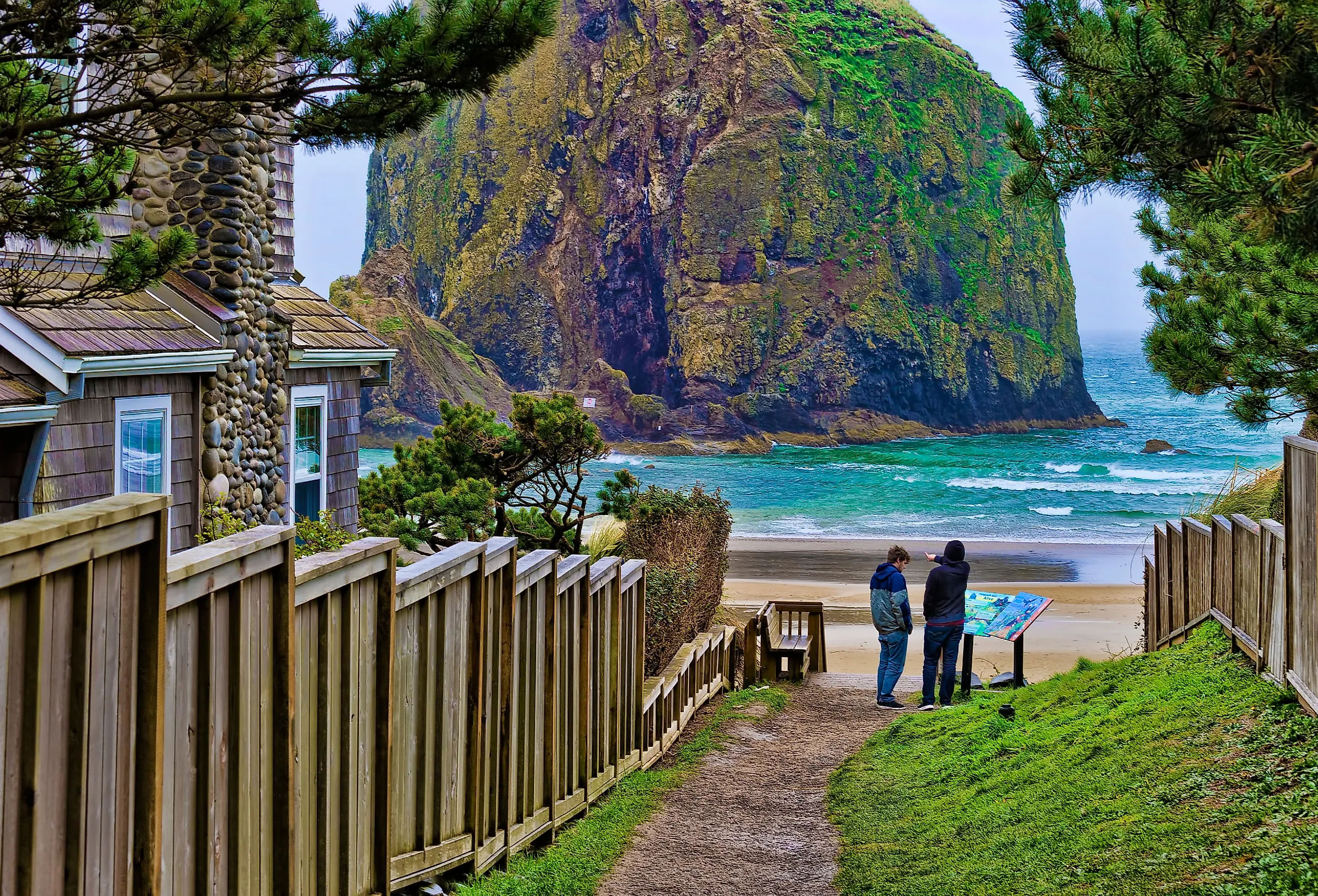
Walking out to Haystack Rock at low tide is the best-known thing to do in Cannon Beach, on the north Oregon coast. The sea stack is 235 feet tall and sits at the edge of the shoreline, and when the water is out, it is possible to walk right up to it and look for colorful sea stars in the tide pools at its base. Puffins nest on the rock April through July.
Just north of town, Ecola State Park reopened in April 2026 after a months-long closure, and from the bluff by the Ecola Point parking area, sea stacks line the long sweep of shoreline south toward Cannon Beach. The old viewing deck there has been removed, the west section of the Clatsop Loop Trail is closed because of an active landslide, and parking costs $10 a day for Oregon residents and $12 for out-of-state visitors. In town, galleries line Hemlock Street, including Icefire Glassworks, a working glassblowing studio. More than 50 events, including artist demonstrations and workshops, take place during the Stormy Weather Arts Festival in early November, and Haystack Holidays runs through November and December.
Long Beach, Washington

A bridge over the Columbia River leads into Washington and the Long Beach Peninsula, where the shore at Long Beach is open sand backed by dunes and tall grass. A boardwalk through the dunes is a good way to see it, and the Discovery Trail runs 8.5 miles along the peninsula. Every August, the Washington State International Kite Festival takes place on the beach, with large dragon and tiger kites among the shapes in the sky, and the World Kite Museum in town has kites from around the globe.
At the south end of the peninsula, Cape Disappointment State Park covers more than 2,000 acres. North Head Lighthouse is on a cliff above the ocean near the mouth of the Columbia, and climbs to the top are offered May through September. The Lewis and Clark Interpretive Center in the park is open Wednesday through Sunday, 10 a.m. until 5 p.m., in winter, and admission is $5 for visitors 18 and older.
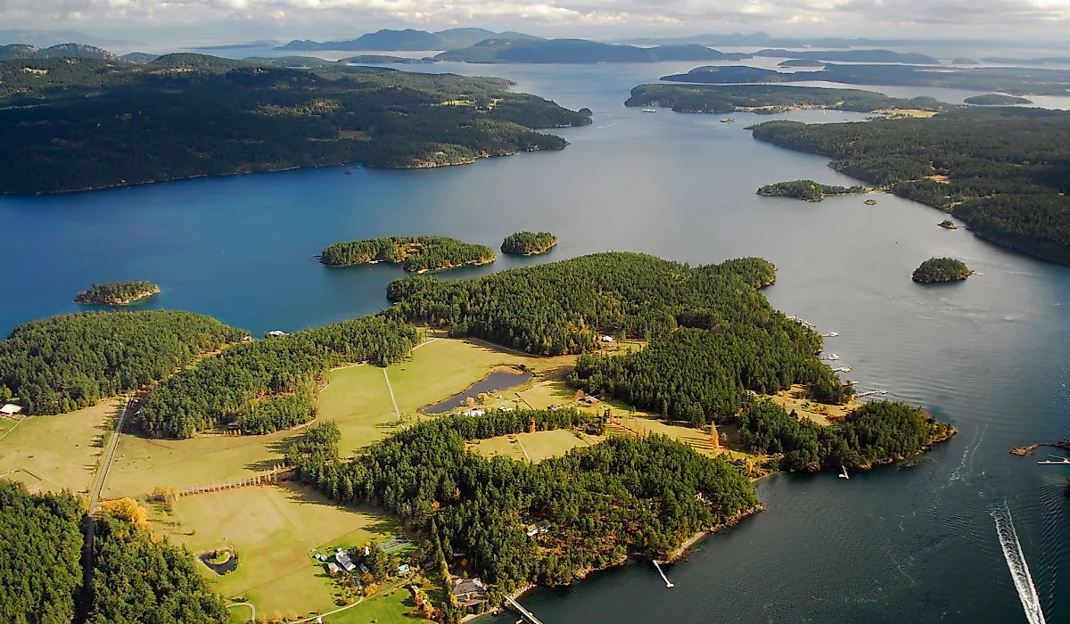
Port Townsend, Washington

At the northern end of the trip, the ferry from Coupeville on Whidbey Island is one scenic way to reach Port Townsend, at the northeast tip of the Olympic Peninsula, with Admiralty Inlet and Fort Worden in view from the boat. Water Street runs along the waterfront with shops and galleries, and Sirens Pub there has a balcony over the bay for lunch. Uptown, Pane d'Amore sells baked goods, and on a clear day, Chetzemoka Park has views toward the Cascades.
Later in the day, a beach walk at Fort Worden State Park passes driftwood, with views toward Whidbey Island. Point Wilson Lighthouse is at the edge of the park, where Admiralty Inlet meets the Strait of Juan de Fuca, and sunset is a popular time to photograph it.
Most of these walks can be done in winter with a tide table in hand. At Piedras Blancas, mature male elephant seals arrive at the end of November and the first pups follow in mid-December, all visible from a free viewing area off Highway 1. Gray whales pass the Mendocino headlands and the benches at Coquille Point on their winter migration, so binoculars are worth packing for any stop with an ocean view. On the Oregon coast, sneaker waves are the hazard to plan around, and the Cook's Chasm viewpoint is the place to watch Thor's Well. Walks that don't depend on the tide include the boardwalk at Moonstone Beach and the dune boardwalk at Long Beach, and the Christmas lights at Cambria Pines Lodge stay on through New Year's Eve.