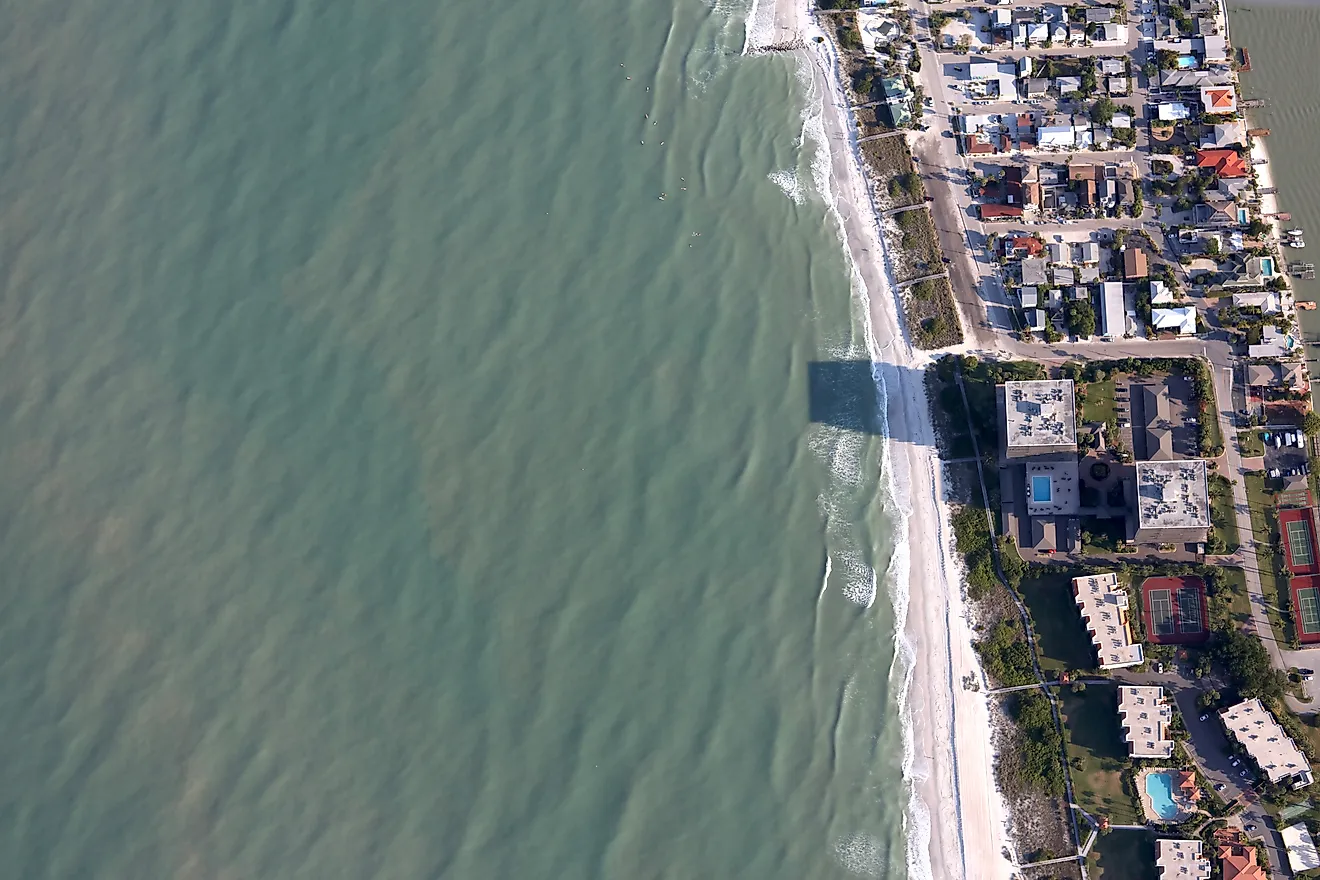
The 10 Driest Cities in Canada
Canada’s reputation abroad often centers on water, from lake country to glacier-fed rivers and winters that store moisture as snowpack. Annual precipitation is not uniform across the country, however. Many of Canada’s driest population centers sit in interior western regions where air masses arrive with limited humidity, or where mountains reduce Pacific moisture before it reaches inland valleys and plains.
Cities included in this list of Canada's driest cities have populations above 50,000, based on the 2021 Statistics Canada Census. Annual totals come from Environment and Climate Change Canada (ECCC) Canadian Climate Normals (1991-2020) for total precipitation, which combines rainfall and the water equivalent of snowfall. Values are shown in inches first, with millimeters in parentheses. Minor differences may appear in other datasets or at nearby stations due to local siting and microclimates, but these cities still rank as Canada’s driest.
Kamloops, British Columbia

Kamloops records the lowest annual total precipitation on this list, averaging 10.7 inches (272.9 mm) in the 1991-2020 climate normals. The city sits in the Thompson Valley in British Columbia’s interior, where major terrain to the west reduces the amount of Pacific moisture that reaches the region. Descending air warms as it moves into inland basins, lowering relative humidity and limiting precipitation. Seasonality also matters. Summers tend to be warm and dry, with much of the year’s moisture arriving in short events rather than sustained wet periods. Winters bring colder temperatures, but overall precipitation remains low compared with many coastal locations.
Medicine Hat, Alberta

Medicine Hat averages 13.0 inches (330.9 mm) of total precipitation per year in the 1991-2020 normals, placing it among the driest Canadian cities with populations above 50,000. The city’s southeastern Alberta location contributes to the pattern: it is far inland, and it does not have frequent, persistent access to moisture-rich marine air masses. Much of Medicine Hat’s precipitation falls during the warmer months, often tied to storms that can be intense but brief. Winters can be cold, but long periods pass without heavy precipitation. Over the long term, the annual total stays low by Canadian urban standards.
Saskatoon, Saskatchewan

Saskatoon’s composite normals station reports 14.1 inches (357.1 mm) of precipitation annually. The city lies deep in the Prairie interior, which helps explain the relatively modest total. Maritime moisture sources are distant, and weather systems crossing the continent often lose moisture along the way. Seasonal distribution is uneven. Late spring and summer account for a large share of annual precipitation, often through convective storms. Winters are cold and comparatively dry, with snowfall contributing to the annual total but not enough to shift Saskatoon out of the country’s drier tier of mid-sized and large urban areas.
Lethbridge, Alberta

Lethbridge averages 14.7 inches (372.5 mm) of total precipitation per year in the 1991-2020 normals. Southern Alberta’s dryness reflects both distance from oceans and regional wind patterns. The Rocky Mountains influence precipitation patterns, but much Pacific moisture does not persist far into the southern Prairie region. Chinook winds are a notable feature of southern Alberta winters. These downslope winds bring rapid warming and lower humidity, which can reduce snow cover duration and increase evaporation. Summer precipitation often arrives in bursts rather than extended rainy periods, keeping annual totals relatively low over the long term.
Regina, Saskatchewan

Regina’s normals station reports 15.4 inches (390.1 mm) of total precipitation annually. As with other Prairie cities, distance from oceanic moisture sources and continental air masses shape the overall precipitation profile. Many systems arrive with limited available moisture, and precipitation can be sporadic outside the warmer season. Snowfall contributes to winter totals, but winters generally remain drier than in many regions closer to large bodies of water. Spring and summer storms account for much of the annual accumulation. The long-term result is an annual total that is modest for a provincial capital and lower than that of many Canadian cities farther east.
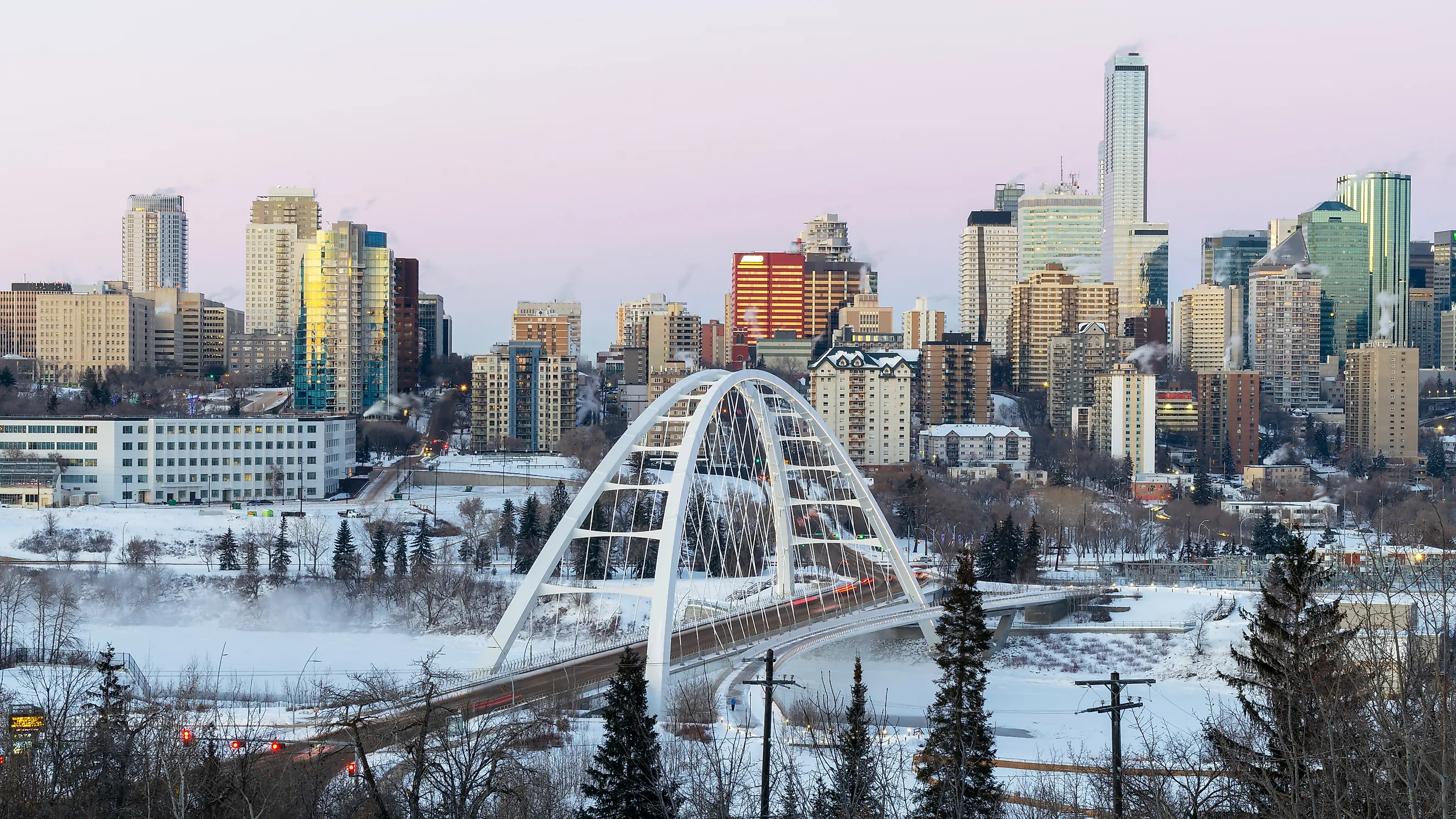
Edmonton, Alberta

Edmonton averages 16.6 inches (422.5 mm) of total precipitation annually in the 1991-2020 normals for the city station. Edmonton is a large urban center, but it lies well inland, and its precipitation totals reflect the same broad western constraints seen across much of Alberta. Moisture pathways are less consistent than in coastal climates, and long-duration rainfall events are less frequent than in some parts of eastern Canada. Summer is characterized by showers and storms, while winter is cold, with periods of light snowfall. Over three decades of normals, Edmonton’s annual total remains low enough to place it among Canada’s drier large cities.
Calgary, Alberta

Calgary’s composite normals station reports 17.5 inches (445.4 mm) of total precipitation annually. The city’s position just east of the Rocky Mountains influences local weather patterns and contributes to pronounced seasonal variability in air masses. Chinook events can warm and dry the region in winter, affecting snow cover persistence and cold-season moisture. Calgary receives a meaningful portion of its precipitation during the warmer months, often from storm activity rather than prolonged rainfall. Even with periodic wet spells, the long-term annual total remains comparatively modest for a city of Calgary’s size.
Red Deer, Alberta

Red Deer averages 19.0 inches (482.6 mm) of total precipitation annually. The city sits between Edmonton and Calgary in central Alberta and remains strongly influenced by continental climate conditions. Its annual total is higher than that of southern Alberta’s driest cities, but it is still low compared with many urban areas closer to the Atlantic or Great Lakes. Seasonality resembles other Prairie and near-Prairie regions. Summer contributes much of the annual accumulation through rain events and storms, while winter precipitation is more limited.
Brandon, Manitoba

Brandon’s climate normals show 19.3 inches (489.4 mm) of total precipitation annually. Brandon is farther east than Alberta and Saskatchewan cities on this list, but sits within a continental interior region where precipitation totals remain modest compared with wetter coastal and eastern environments.
Warm-season precipitation accounts for a substantial share of the annual total, including storms that can produce short periods of heavier rainfall. Winters are cold, and snowfall contributes to annual precipitation, but the long-term total remains low enough to place Brandon among the drier Canadian population centers in this size range.
Winnipeg, Manitoba

Winnipeg has the highest annual total on this list, but it still ranks dry relative to many Canadian cities, averaging 20.4 inches (519.2 mm) in the 1991-2020 normals at the Richardson Airport station. Winnipeg’s continental climate produces cold winters and warm summers, with much of the annual precipitation arriving during the warm season. Thunderstorms and rain events contribute significantly from late spring through summer. Winter precipitation occurs, but long stretches of cold weather can coincide with comparatively limited moisture. The result is an annual total that is modest for a major Canadian city and low enough to keep Winnipeg within the country’s driest tier.
Why Interior Western Canada Is So Dry

Two physical patterns explain why so many dry Canadian cities cluster in the west and on the Prairies.
Mountain ranges influence precipitation by forcing moist air upward. When air rises, it cools, and cooling can lead to condensation and precipitation on windward slopes. Downwind, air descends and warms, lowering relative humidity and reducing the likelihood of precipitation. This process supports drier conditions in interior valleys and basins that sit on the lee side of major terrain.
Continental distance from oceans also shapes precipitation. Across the Prairies and much of Alberta, many air masses travel long distances over land before reaching cities. Land travel can limit available moisture compared with a persistent marine influence. Summer convection can deliver sharp bursts of rainfall, but that pattern does not necessarily produce a high annual total across decades of climate normals.
Canada’s climate diversity reflects these geographic controls. Coastal locations can be wet due to frequent marine systems, while interior plains and valleys can remain dry enough to shape vegetation patterns, water management needs, and seasonal risk profiles. Understanding these geographic patterns can help you plan when and where you might like to travel in Canada, or even choose a new city to call home.