Towns That Were Almost Capitals
The path to a permanent seat of government is rarely a direct line. Dozens of towns across the United States once held the title of state or territorial capital, only to lose the designation to shifts in population, railroad expansions, or military campaigns. These places were established as capitals; they legally operated as the administrative centers of their respective regions before lawmakers or voters stripped them of the title.
Guthrie, Oklahoma

On April 22, 1889, the Land Run populated a railroad stop known as Deer Creek with about 10,000 residents in a single afternoon. Guthrie became the territorial capital and retained the title when Oklahoma achieved statehood in 1907. Its reign ended in 1910, when a statewide referendum favored moving government operations to Oklahoma City. Before the legal challenges were settled, the governor's secretary removed the official state seal from the Logan County Courthouse and carried it to the new capital, an act that quickly passed into local legend.
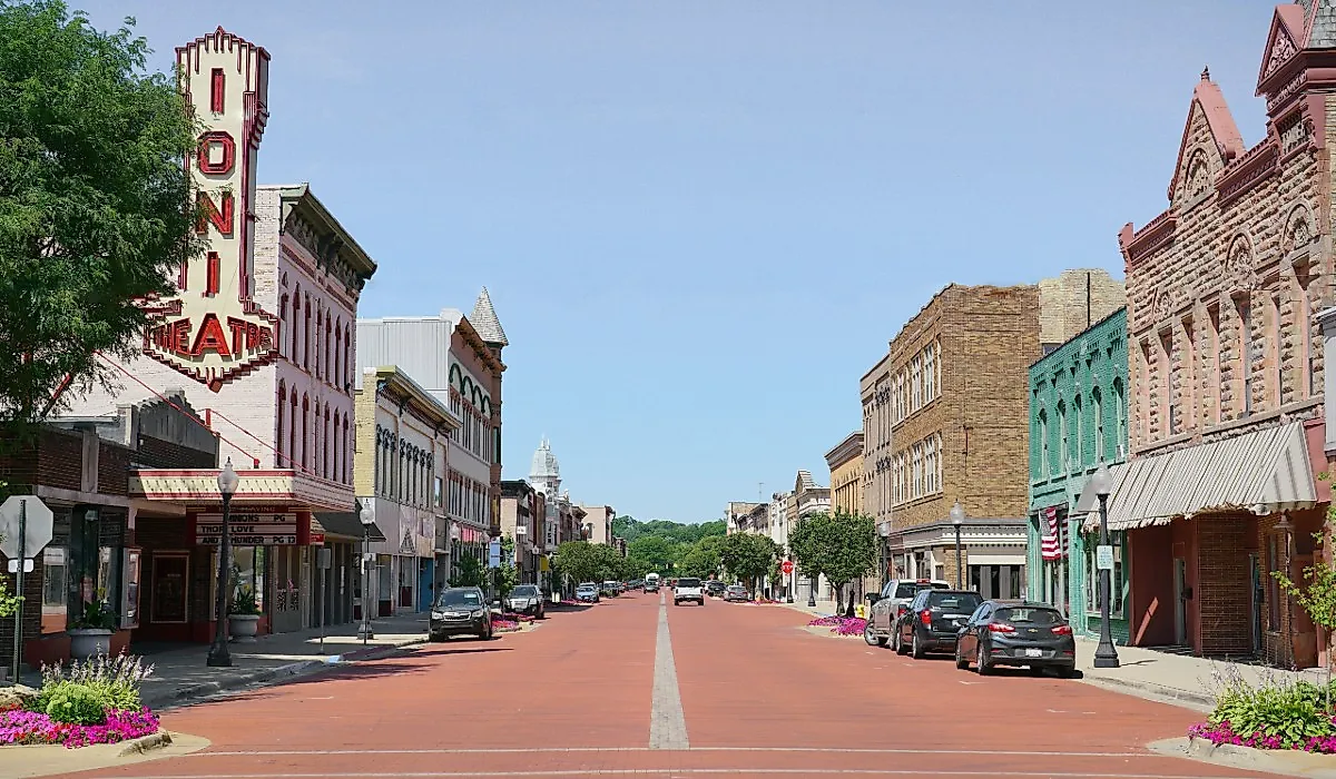
The departure of the government apparatus halted Guthrie's economic expansion. Because the town lacked the financial momentum to modernize or demolish its commercial center, more than 2,000 Victorian-era brick buildings survived intact. Today, residents live and work within one of the nation's largest contiguous urban historic districts, a National Historic Landmark that effectively operates as a modern municipality inside a 1910 architectural time capsule.
New Castle, Delaware

The separation of Delaware from Pennsylvania was declared inside the New Castle courthouse in June 1776, elevating the colonial mercantile hub to a state capital. The town's deep-water port on the Delaware River drove its early economic dominance, but that same geographic feature proved to be a critical liability during the Revolutionary War. Exposed to British warships patrolling the coastline, the government was physically vulnerable. By May 1777, the General Assembly voted to move inland to Dover to escape naval bombardment, taking all official records with them. When the county seat eventually relocated to Wilmington in 1881, the remaining administrative momentum vanished. Without a government or port economy to drive industrial expansion, the 18th-century judicial enclave was left largely intact. Modern New Castle is a quiet residential community defined by strict preservation guidelines, where citizens live in the colonial structures that history bypassed.
Vallejo, California

General Mariano Guadalupe Vallejo secured designation as California's state capital in 1851 by promising to personally fund and build a comprehensive civic center. The reality fell short when lawmakers arrived by steamer in January 1852 to find an unfinished statehouse that lacked plaster, seating, and adequate lighting.
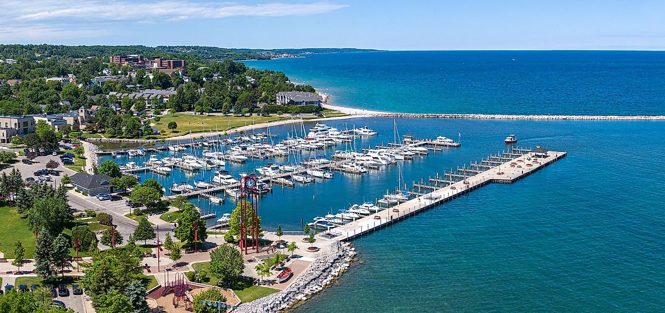
Housing barely existed. Some legislators slept aboard the ship that had brought them, and within days the government voted to decamp to Sacramento for the session. That began a run of temporary relocations, through Sacramento and Benicia, that finally settled the permanent seat of government in Sacramento. Today, Vallejo is defined by its maritime history rather than its brief political prominence. The city grew into a major working-class port and the home of the Mare Island Naval Shipyard, a legacy far removed from its origins as a failed real estate promise.
Milledgeville, Georgia

Georgia lawmakers created Milledgeville for a single administrative purpose. Surveyed in 1804 on a rigid grid cut into the wilderness west of the Oconee River, the town was designed from the ground up to be the physical center of Georgia politics.
It held the capital through the Civil War, up until November 1864, when Union General William T. Sherman's troops occupied the town. Governor Joseph E. Brown and the legislature fled just ahead of the army. During Reconstruction in 1868, the constitutional convention stripped the town of its title, relocating the government to the emerging railroad hub of Atlanta. Left with institutional infrastructure and no government to fill it, the town adapted. The former capitol buildings and grounds were repurposed into state universities and mental health facilities. Modern Milledgeville leans on a student population and medical institutions, reusing the oversized architecture of its political past.
Fillmore, Utah

In 1851, territorial leaders took a mathematical approach to governance. Brigham Young and the legislature placed the capital at Fillmore because the site sat at what they judged to be the exact geographic center of the Utah Territory.
Geography on paper rarely matches reality. The site was isolated in the desert, lacked sufficient water for a large population center, and demanded grueling travel for northern legislators. The government completed only one wing of a planned four-wing statehouse. After holding its only full legislative session there in December 1855, the legislature soon returned to Salt Lake City, and the capital was formally relocated in 1856 amid complaints about the lack of housing and infrastructure. The town absorbed the loss and became an agricultural community. The single completed wing of the statehouse still stands as a museum, surrounded by a rural farming population of about 2,500 residents.
Belmont, Wisconsin

Belmont held capital status in Wisconsin for just 46 days, its political future dismantled before permanent foundations could take root. The current village functions as a quiet agricultural municipality, and it maintains the restored 1836 council house as an isolated state historic site rather than a working civic center.
The brevity of its tenure was engineered by a rival politician named James Doty. When Governor Henry Dodge selected Belmont in 1836, it was a raw lead-mining settlement of hastily built frame structures. Before the community could solidify its new status, Doty lobbied the territorial legislature hard, trading land deeds to lawmakers on behalf of an unbuilt city he was promoting called Madison.
The lobbying worked. The government packed up and left, and Belmont faded almost immediately once railroad lines later bypassed the site. The original settlement became a ghost town, forcing a full structural reset when a new Belmont was built a few miles away along the tracks.
Lecompton, Kansas

The capital of the Kansas Territory in 1855 was a settlement defined by political strife. Lecompton served as the headquarters for pro-slavery forces during the violent "Bleeding Kansas" border conflict.
Here, lawmakers drafted the Lecompton Constitution, a deeply controversial document intended to admit Kansas as a slave state. The draft triggered congressional gridlock in Washington and nationwide outrage.
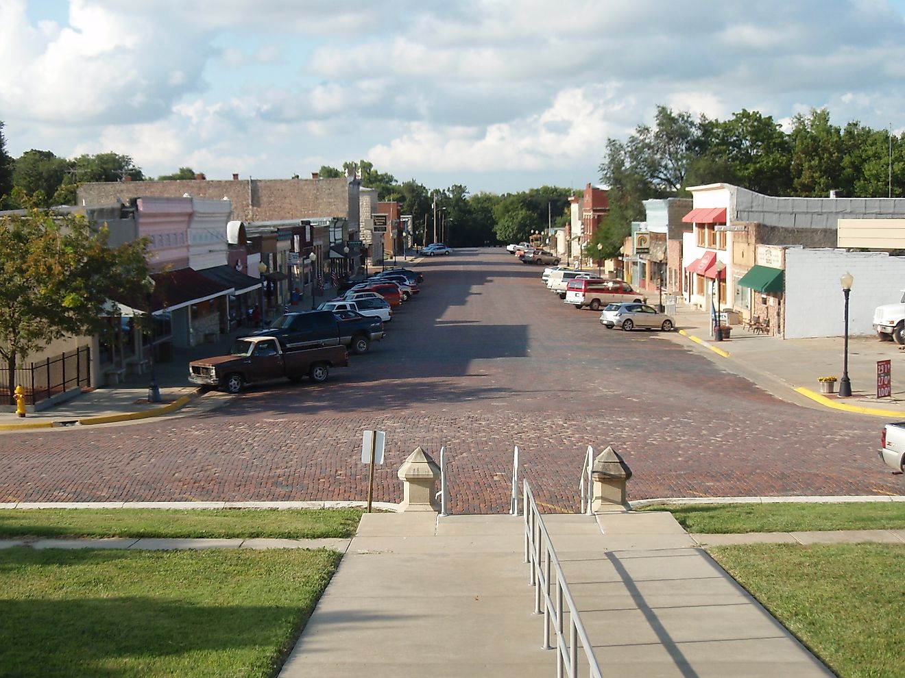
The town's political dominance collapsed through a change of power. When anti-slavery "Free-State" settlers secured control of the territorial legislature, they stripped Lecompton of its administrative authority. At statehood in 1861, the capital moved to Topeka. Today, it remains a small river town of roughly 600 people, its modern identity tied closely to educational tourism centered on Constitution Hall.
Vandalia, Illinois

As the western terminus of the historic National Road, Vandalia served as the second capital of Illinois for nearly two decades. Its status was dismantled in the late 1830s by a coalition of unusually tall state representatives known as the "Long Nine," a group that included a young Abraham Lincoln. Lincoln's voting bloc traded legislative favors and infrastructure votes across the state to secure enough support to move the capital north to Springfield in 1839.
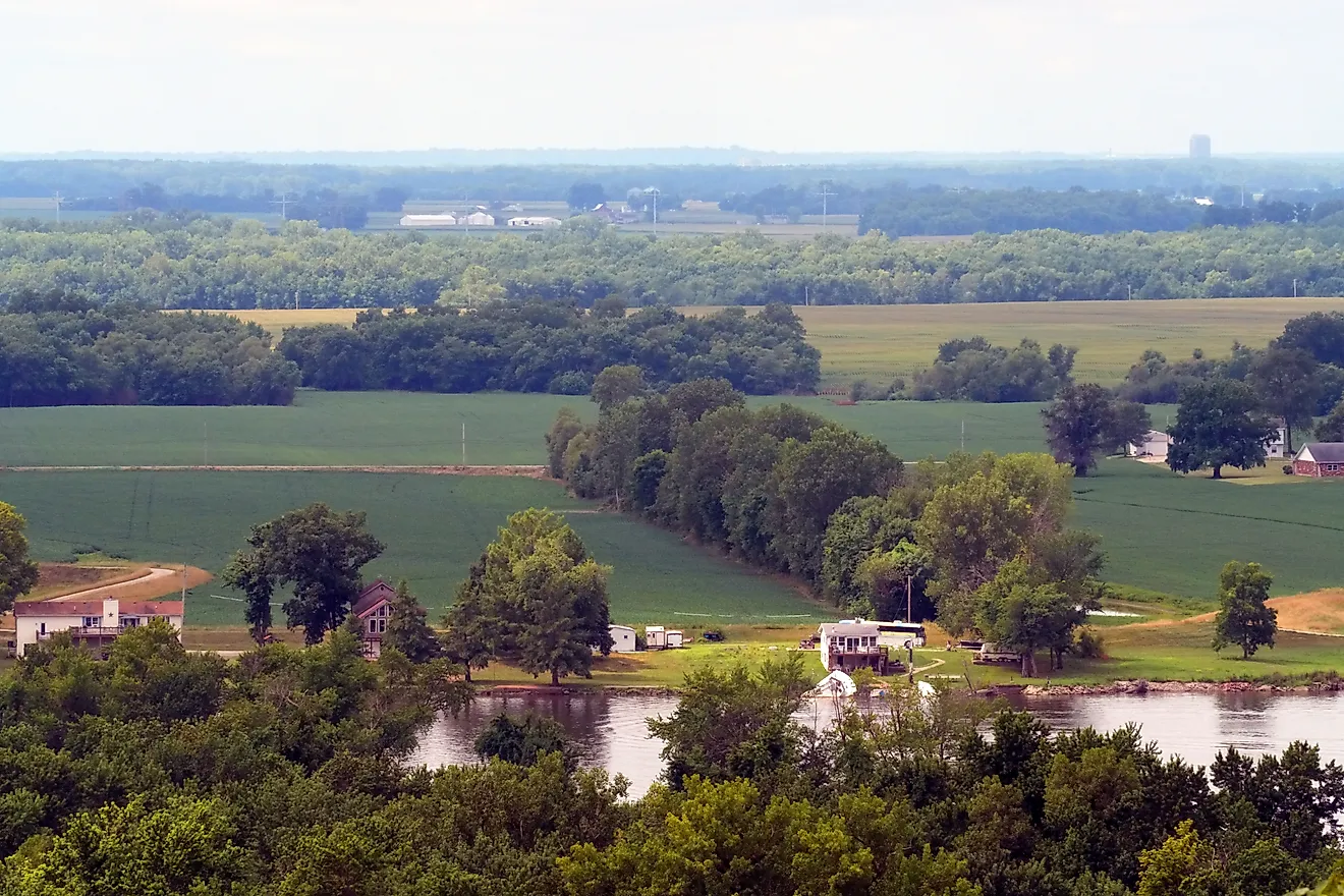
Vandalia lost the government but kept its position as a transportation hub. The original statehouse was purchased by the county to serve as a courthouse, which saved it from demolition. Present-day Vandalia functions as a manufacturing and agricultural center in Fayette County, with the restored statehouse sitting prominently in the center of town as a monument to frontier political maneuvering.
Prescott, Arizona

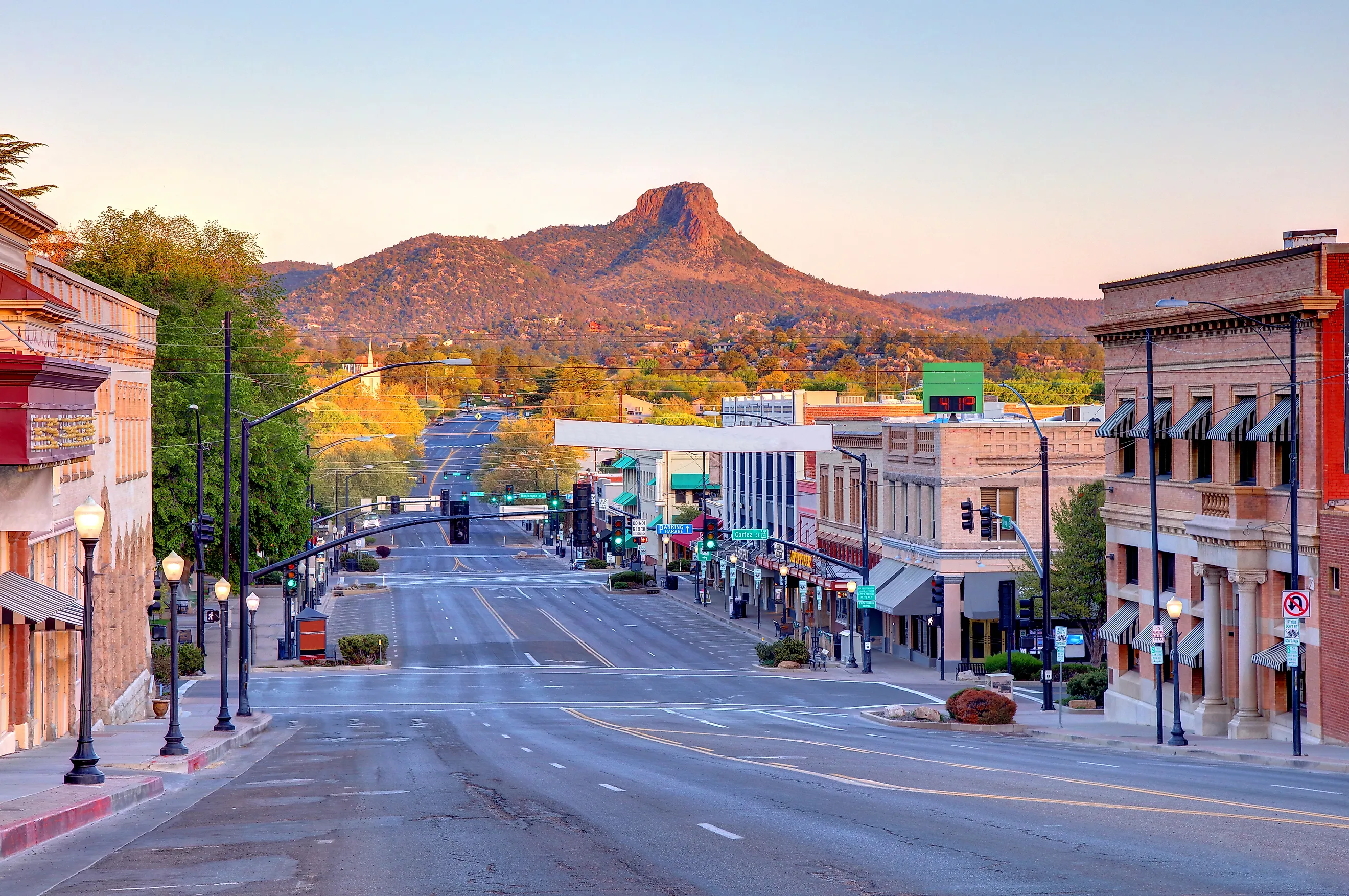
Set apart from the desert heat of Phoenix, modern Prescott operates as a regional commercial hub and high-altitude mountain destination. Its downtown still holds a stock of Victorian architecture that reflects its past as an independent frontier capital rather than a suburb of the state's current political center.
That architectural footprint is a direct result of its origins. Established in 1864, Prescott was carved into a pine forest specifically to secure local gold-mining operations for the Union during the Civil War. It held the title of Arizona's territorial capital, lost it to Tucson in 1867, regained it a decade later in 1877, and then lost it permanently in 1889.
The final loss was dictated by infrastructure. The completion of the Maricopa and Phoenix Railroad shifted the territory's economic power into the agricultural expanse of the Salt River Valley. Prescott's mountainous terrain, once a strategic military asset, became a logistical liability for a growing government.
The Preservation of Former Capitals
The relocation of a government requires a hard structural break, often driven by military vulnerability, shifting transportation networks, or political compromise. Once legislatures departed, many of these former capitals lost the economic pressure to rebuild or modernize. Their courthouses, commercial blocks, statehouses, and civic streets therefore survived long after the government offices disappeared, preserving physical proof of the brief periods when these communities directed the affairs of their states and territories.