The American Rivers That No Longer Reach The Ocean
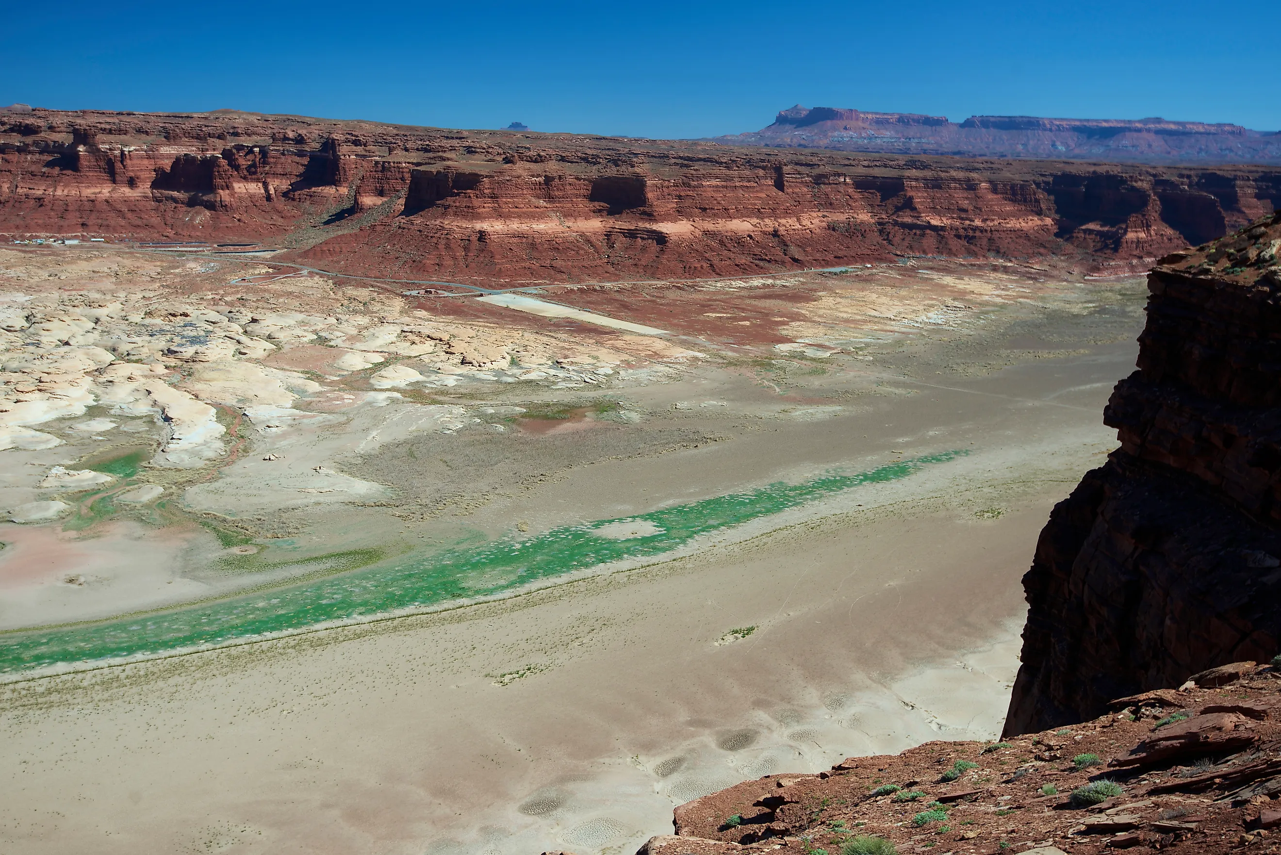
A river reaching the sea is the assumption built into the word river, and across the American West it is increasingly not true. The Colorado has not made the Gulf of California under natural conditions since 1998. The Gila, once one of the great tributaries of the Southwest, runs dry through metropolitan Phoenix for most of the year. Sixty miles of the San Joaquin simply vanished from the map for six decades. In every case the water did not evaporate or get stolen by drought alone, it was allocated, and in most cases allocated to more users than the river physically contains. Here are the American rivers that stop short, and what happens at the end of each one.
One distinction first, because it matters. Some rivers never reached an ocean and were never supposed to. These are the ones that used to.
The Colorado Is The Headline Case
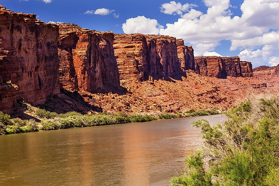
The Colorado stopped reaching the Gulf of California regularly in the 1960s, as the big dams filled. It broke through in exceptional years when Rocky Mountain snowpack overwhelmed the reservoirs, in 1983, 1993 and finally 1998. Since then, nothing natural.
What replaced it was deliberate. Under Minute 319 of the 1944 US-Mexico water treaty, engineers opened Morelos Dam on March 23, 2014 and released roughly 132 million cubic meters over eight weeks, about one percent of the river's flow. The water crossed more than 40 kilometers of dry channel, losing volume to infiltration and salt cedar the whole way, and advanced over 120 kilometers before a high tide pushed it past a sandbar and into the estuary on May 15. Fifty-three days.
Towns along the old channel held ceremonies. It was the first time many residents had seen the river.
The Gila River, Arizona

The most complete disappearance on this list, and the least discussed.
The Gila rises in the mountains of western New Mexico, runs 650 miles across Arizona, and historically joined the Colorado near Yuma as its largest tributary in the Lower Basin. Spanish accounts describe a river substantial enough to navigate in places, and the Hohokam built one of the most extensive prehistoric canal systems in North America on its flow.
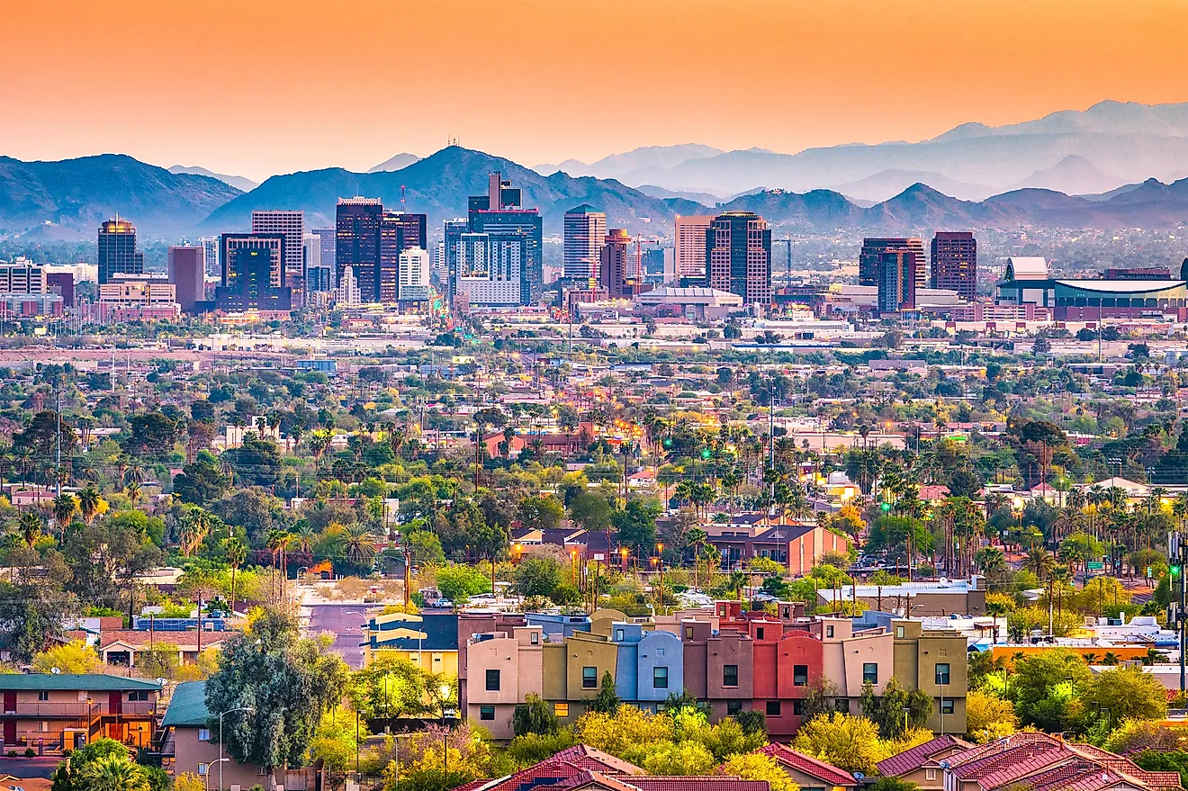
Today the channel through the Phoenix metropolitan area is dry sand for most of the year. Diversion at Coolidge Dam and upstream, combined with groundwater pumping that dropped the water table below the streambed, took it. The Gila still exists on maps and reaches the Colorado only when it floods.
The Santa Cruz River, Arizona

Tucson grew up on a river that no longer flows through it, which is a difficult thing for a city to explain to itself.
The Santa Cruz once ran perennially in reaches through the Tucson basin and supported agriculture for thousands of years, including some of the oldest known irrigated fields in North America. Groundwater pumping through the twentieth century dropped the aquifer far enough that the surface flow stopped, and the riverbed became a sand channel that fills only after storms.
The recent development is genuinely hopeful. Tucson began releasing treated effluent back into the channel through the Santa Cruz River Heritage Project, and fish and birds returned to reaches that had been dry for decades. A river brought back by wastewater is not the same as a river, but it is water.
The San Joaquin River, California

The most dramatic legal story here, because a court eventually ordered the water put back.
Friant Dam in California went into operation in the 1940s and diverted nearly the entire flow of the San Joaquin into irrigation canals serving the eastern San Joaquin Valley. Roughly 60 miles of river below the dam went dry and stayed dry. The salmon run, once one of the largest on the Pacific coast south of the Columbia, was eliminated entirely.
An eighteen-year lawsuit ended in a 2006 settlement requiring restoration flows and the return of Chinook salmon. Water has been released down the dry reach since, salmon have been reintroduced, and the program has repeatedly run into the same problem that created the situation: there is not enough water for everyone who has a right to it.
The Owens River, California

The Owens is the clearest case of a river that was deliberately removed rather than gradually depleted.
It never reached an ocean, ending instead in Owens Lake, but that lake was a substantial terminal water body holding steamers and supporting a Pacific Flyway stop. The Los Angeles Aqueduct opened in 1913 and took the flow. The lake was dry by 1926 and became the largest single source of dust pollution in the United States.
Los Angeles now spends roughly 60,000 acre-feet of water a year keeping the lakebed damp for air quality compliance, and about five percent of the river's flow was court-ordered back into the lower channel in 2006. The river that was taken is now partly being given back by legal requirement.
The Rio Grande

The Rio Grande is the only river on this list that forms an international border and still fails to finish.
Its most notorious section is the Forgotten Reach, a stretch below El Paso where diversion leaves the channel essentially dry. And in 2001 the river failed to reach the Gulf of Mexico at all, a sandbar closing the mouth for the first time in recorded history. It has happened again since.
The mechanics are the same as everywhere else on this page: allocated to two countries and several states under agreements written when the flow was assumed to be larger and more reliable than it is.
The Arkansas River In Kansas
The example nobody expects, because it is not in the desert.
Long stretches of the Arkansas across western Kansas now run dry for much of the year, and the cause is not surface diversion but the Ogallala Aquifer. Decades of high-volume irrigation pumping lowered the water table until the river, which had been fed by groundwater seeping into the channel, lost its base flow. The river did not get taken out of the channel. The channel got drained from underneath.
That mechanism is worth understanding because it is invisible. A river can be killed by wells miles away that never touch it.
Why It Keeps Happening

Three causes recur, and only one of them is drought.
Over-allocation is first. Western water law runs on prior appropriation, first in time, first in right, and rights were handed out based on flow measurements taken during unusually wet decades. The Colorado Compact of 1922 divided a river that has since delivered considerably less water than the negotiators assumed. On paper the river is fully spoken for. In practice it is oversubscribed.
Groundwater is second, and it is the quiet one. Pumping below a certain point severs the connection between aquifer and channel, and a river that used to gain water along its length starts losing it into the ground instead.
Storage is third. A reservoir does not consume water, but it does hold it, evaporate a share of it, and release it on a schedule set by irrigation and power demand rather than by the river.
What The Delta Loses
The end of a river is not a spare part, which is the argument restoration efforts are built on.
An estuary is where fresh water and salt water mix, and that gradient supports nurseries for fish and shrimp that spend their adult lives offshore. The Colorado delta once covered around two million acres of wetland and supported the vaquita and the totoaba in the upper Gulf, both now critically endangered. Sediment carried to a delta also builds land, which is why deltas starved of a river subside and shrink.
Cut the freshwater and the estuary becomes saltier than the sea, because evaporation continues with nothing diluting it. That is what happened at the mouth of the Colorado.
Some Of Them Are Coming Back

The pattern in the last two decades runs the other way, in small amounts.
The Colorado got its 2014 pulse flow and a follow-up agreement in Minute 323. The San Joaquin has court-ordered restoration flows and reintroduced salmon. The Santa Cruz has treated effluent and returning wildlife. Owens has about five percent of its flow back plus 60,000 acre-feet a year going onto the lakebed.
None of that restores a river. What it demonstrates is narrower and still useful: put water back into a dry channel and the channel responds quickly. Birds arrive in weeks. Cottonwood and willow germinate on the fresh wet sediment. The 2014 pulse flow greened a corridor that had been dead for years.
The constraint was never whether these rivers could recover. It is whether anyone is prepared to give up the water.