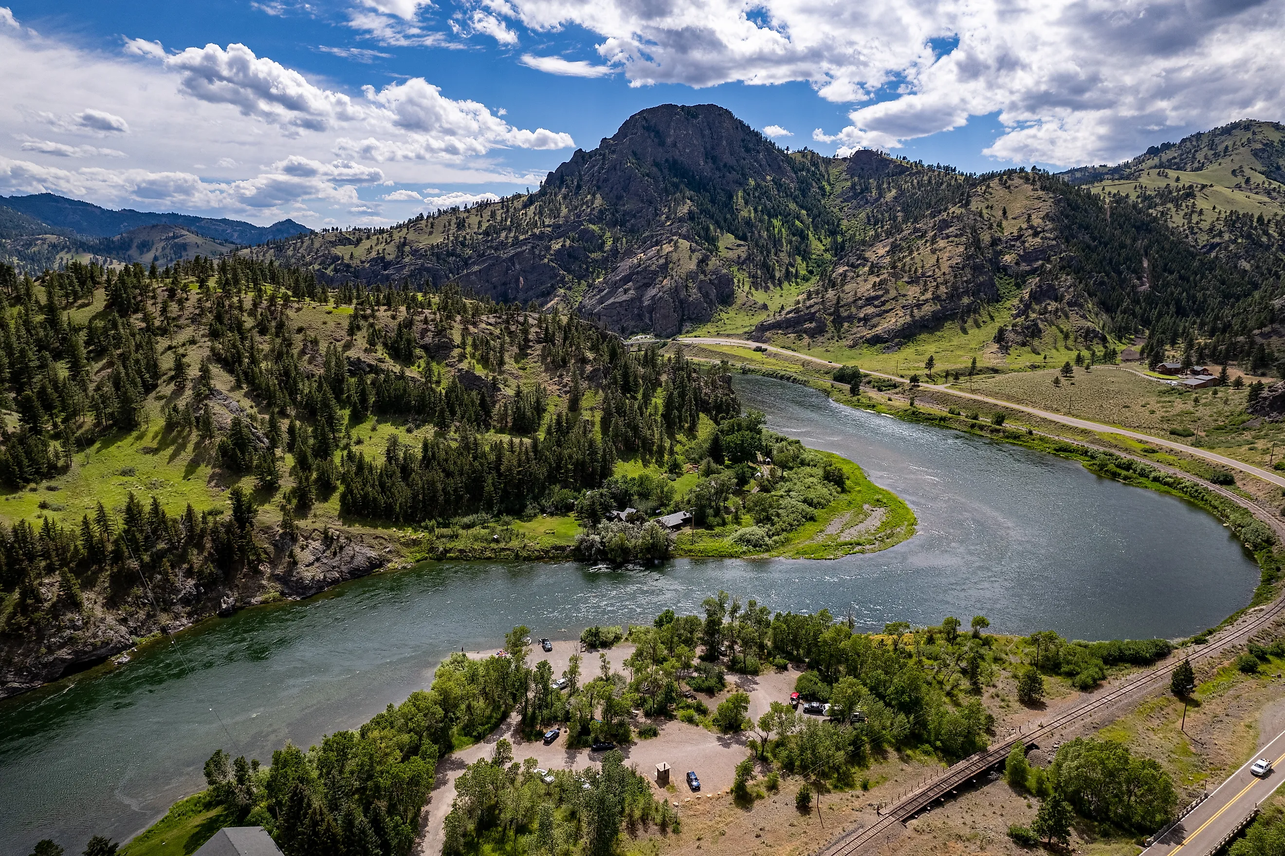
Is the Mississippi River Longer than the Missouri River?
Which river is longer: the Mississippi or the Missouri River? It really depends on how and where you measure them.
If considered only based on their official length, the Mississippi River is longer, but if some of the Missouri's headwaters are included, the Missouri is longer. This question is further complicated by the fact that the Mississippi is more well known than the Missouri River, due to the history of westward expansion and the crucial importance the Mississippi played in American history.
In short, it's complicated.
Measuring the Mississippi River

The Mississippi River flows for 2,350 miles from its source in Lake Itasca in northern Minnesota all the way down to the Gulf of Mexico. It crosses through several states along the way, including Wisconsin, Iowa, Illinois, Missouri, Kentucky, Tennessee, Arkansas, Mississippi, and Louisiana. It nearly cuts the contiguous U.S. completely down the middle from north to south, save for a section of northern Minnesota.
The Mississippi River's total length was shortened by between 150 and 200 miles from 1929 to 1942 by work of the U.S. Army Corps of Engineers, who were aiming to shorten the river overall to speed up floodwaters and water lanes.
The Mississippi River's width is at its narrowest at Lake Itasca, between 20 and 30 feet, while its widest point is at Lake Winnibigoshish at 11 miles, near Bena, Minnesota. The overall speed of the water varies from 1.2 miles per hour to three miles per hour. Water from Lake Itasca will take close to 3 months to travel across the length of the Mississippi to the Gulf of Mexico.
When the water exits into the Gulf of Mexico, it comes out at a volume of 593,003 cubic feet per second. At Lake Itasca, the water volume is much smaller at only 6 cubic feet per second. As for where the water comes from, it comes from tributaries, including the Ohio River, which contributes up to 50% of its water, and the Missouri River. By the point of the confluence of the Ohio River and the Mississippi River in Cairo, Illinois, 90% of the Mississippi's total water flow is present. The remaining 10% comes from Arkansas, White, Yazoo, and St. Francis Rivers.
However, its overall water flow is heavily impacted by rainfall in the Upper Mississippi, along with water conditions on the Ohio River Valley. During drought conditions, its overall water level can be well below normal levels in the Lower Mississippi.
Measuring the Missouri River

The Missouri River's true length is complicated. If measured from its source at the confluence of the Jefferson, Madison, and Gallatin Rivers, it is shorter than the Mississippi at 2,315 miles long. However, its source lies further back as part of the Red Rock River System.
The Red Rock River flows for 70 miles in southwestern Montana close to Brower's Spring before flowing into the Beaverhead River, which in turn enters the Jefferson River. This river system adds an extra 225 miles to the Missouri River's length, making it 2,540 miles in total, 190 more than the Mississippi River. In addition, the overall length of the Missouri River was shortened by more than 200 miles due to channelization and cutoffs constructed for flood control in the 1940s through 1960s.
From the confluence, it flows northeast through Montana and into North Dakota, before turning southeast to cross through South Dakota, Nebraska, Iowa, Kansas, and across Missouri to its confluence with the Mississippi just north of St. Louis.
Elevations within The Missouri River basin range from close to 14,000 feet high in the Rocky Mountains to 400 feet where it meets the Mississippi River. The flow of the river is known for being unpredictable, and historically it has varies as well from 4,200 cubic feet to 900,000 cubic feet per second.
Currents of History

The Mississippi River has seen human activities for thousands of years, with native communities such as the Choctaw, Sioux, Winnebago, and many others living by its shoreline. Mound-building cultures also constructed large cities, such as the city of Cahokia in modern-day Illinois.
European settlers competed for control of the river, from the French to the Spanish, and eventually Americans. Americans gained full control of the Mississippi River following the Louisiana Purchase in 1803. However, the river was split in two during the American Civil War between the Confederacy and the Union, with the Union only regaining control of it following the crucial Battle of Vicksburg in 1863.
The Missouri River was also settled by many Native groups such as the Dakota Sioux, who called it Smoky-Water. White colonists first found the Missouri River in 1673 when Frenchmen Louis Jolliet and Father Jacques Marquette passed by it. French and British fur traders would use the river to work with the various tribes living in the Great Plains.
One of the biggest explorations of the Missouri River was undertaken by the Lewis and Clark Expedition in 1804, the year after the Louisiana Purchase, which dramatically expanded American lands beyond the Mississippi River. They reached all the way up to the confluence of the three rivers that formed the Missouri, before continuing on the Jefferson River, and then crossing over the remote lands of the Northwest to the Pacific Ocean by November 1805. Settlement of the Missouri River would gradually open up over the decades, especially with the Homestead Act of 1862, which turned over 270 million acres of the western U.S. to settlers, offering 160 acres of free land to every family who came to claim it.
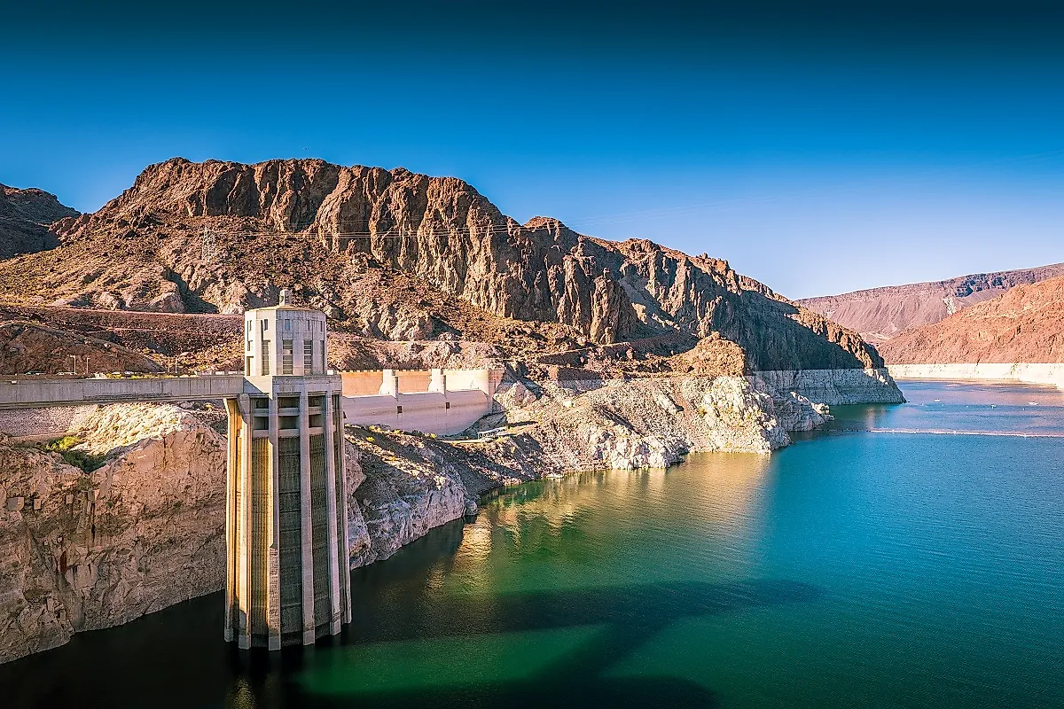
In 1944, President Franklin D. Roosevelt signed the Flood Control Act of 1944. This was part of a series of flood control acts throughout his presidency, with this specifically meant to dam the Missouri River and create hydroelectric power plants along the Missouri River. For the Native Americans who lived on these lands, it also meant flooding of traditional tribal lands and displacement, in some cases displacing 80% of members in places such as the Fort Berthold Indian Reservation in North Dakota. The creation of 424 dams flooded close to 1.13 million acres of tribal lands.
A Tale of Two Rivers
The Missouri River is ultimately longer than the Mississippi River, when its true source in the Red Rock River is taken into account. However, one could also argue that the Missouri-Mississippi is one river due to the Missouri being a key tributary of it. The two rivers aren't just different in terms of length; they also represent very different areas geographically and demographically speaking.
The Mississippi River flows through populous Midwestern states, southern states, and metro areas, whereas the Missouri River is mostly located in less populated areas, such as Montana, which only has 1.15 million residents. Both rivers have played a crucial role in the development of the U.S. and for the Native American groups that have long lived and depended on these rivers for food and water, but neither has remained unchanged, as dams have reduced their original lengths into smaller waterways.