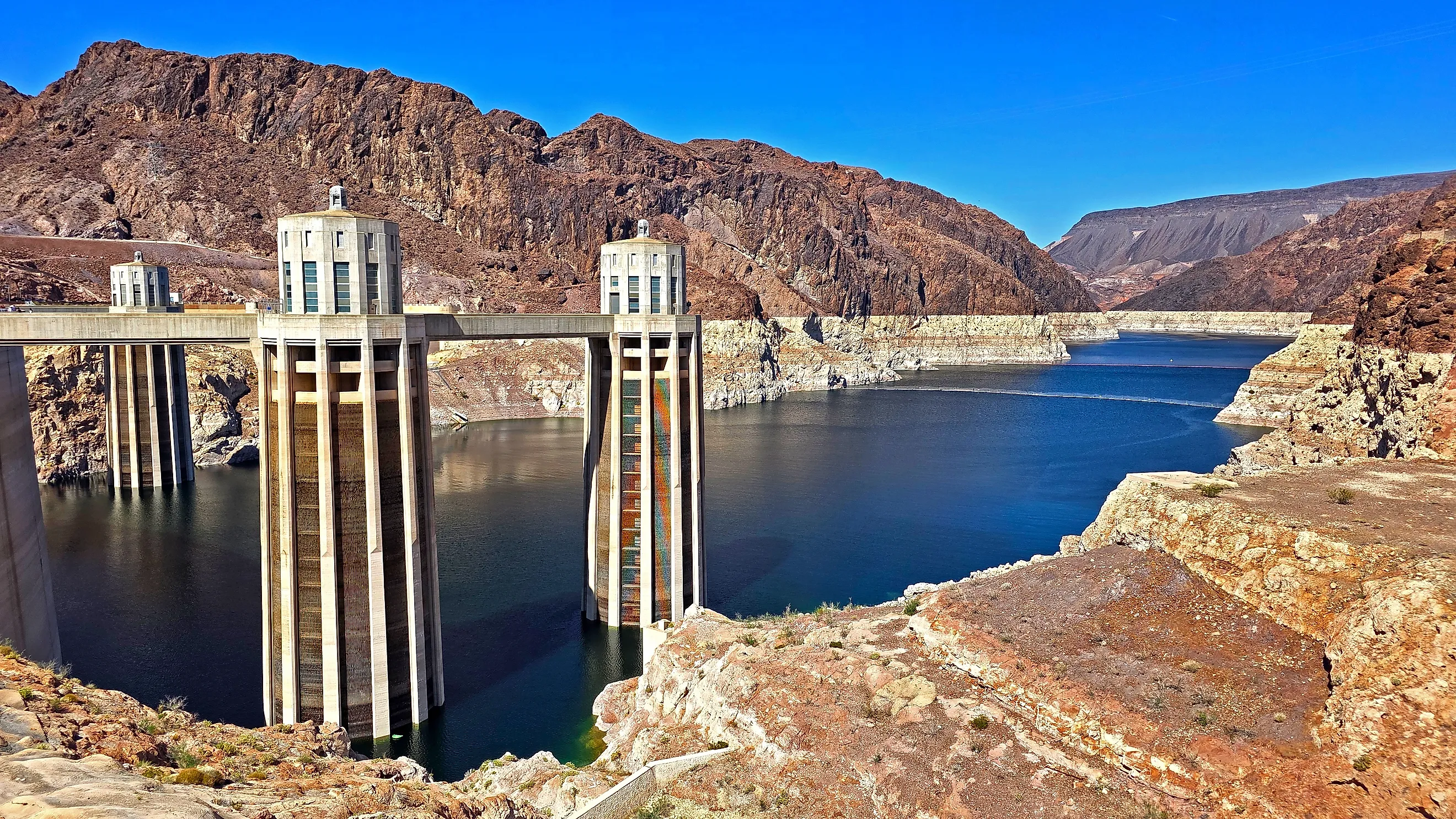
Lake Mead Lost 192 Feet, Lake Powell Lost 179
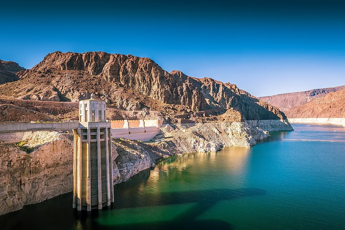
In its weekly hydrologic update for October 18, 2026, the Bureau of Reclamation put Lake Mead at 1,037.24 feet and Lake Powell at 3,520.55. Measured down from each reservoir's full pool, that is 191.8 feet of decline for Mead and 179.5 for Powell. Measured instead from the all-time highs both lakes reached in July 1983, Mead is down 188.6 feet and Powell 187.8, a difference of under a foot. Two reservoirs 300 river miles apart, holding water for different states under different rules, have lost almost exactly the same elevation over the same 43 years. That is not a coincidence, and the reason is the more interesting part.
The Readings, And When They Were Taken

Reservoir elevations change daily, so any comparison needs a date attached to be worth anything.
In the week to October 18, 2026, Reclamation recorded Lake Mead at 1,037.24 feet holding about 6.79 million acre-feet, or 26 percent of capacity, and Lake Powell at 3,520.55 feet holding about 5.29 million acre-feet, or 23 percent. Colorado River total system contents stood at 18.1 million acre-feet, 31 percent of capacity.
Full pool is 1,229 feet at Mead and 3,700 at Powell. The July 1983 peaks were 1,225.83 and 3,708.34 respectively, Powell having briefly risen above its own design level that summer.
Where You Start Changes The Answer
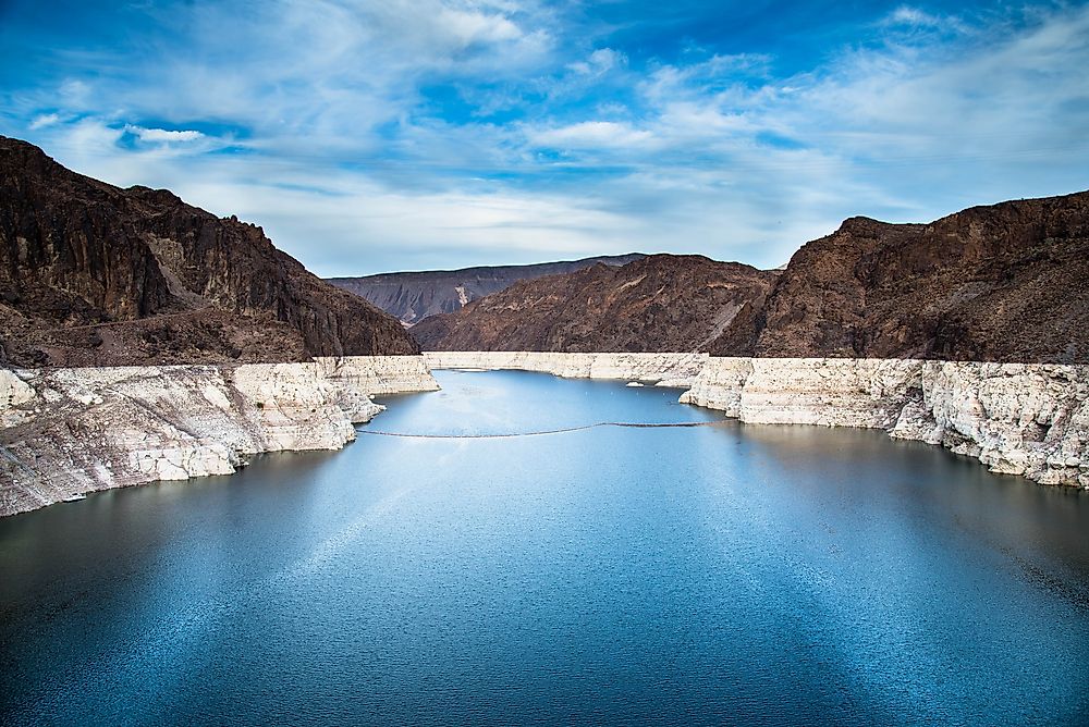
The two bases give noticeably different results, and both are legitimate.
From full pool, Mead has lost 191.8 feet and Powell 179.5, putting Mead about twelve feet lower relative to its own ceiling. From the 1983 highs the gap narrows to roughly nine inches, because Powell peaked eight feet above its full pool mark while Mead peaked three feet below its own.
Quoting either figure is fine as long as the basis is stated. Quoting one as though it were the only number is where most of the confusion in this topic comes from.
Why They Track Each Other

Two reservoirs on one river need not fall in step, and the reason these do is that they are deliberately operated as a single system. Powell's releases are Mead's inflow. Under the operating guidelines, the volume Glen Canyon Dam sends downstream each water year is set partly by the elevations of both reservoirs, so managers balance one against the other rather than letting each find its own level.
When Powell needs protecting, releases are reduced and Mead takes the difference. When Mead is the priority, Powell gives water up. The near-identical totals are a product of that balancing as much as of rainfall.
Powell Has Risen Slightly Since September
Current readings vary more than the long-term trend suggests, which is worth knowing before drawing conclusions from any single number.
Lake Powell set a modern record low of 3,516.62 feet on September 15, 2026. By October 18 it had risen to 3,520.55, nearly four feet above that mark, and Reclamation logged it up 1.55 feet in that week alone. Autumn typically brings a flatter or rising curve as irrigation demand falls away.
Mead eased down 0.41 feet over the same week, which is the usual seasonal pattern for the downstream reservoir rather than a sign of anything sudden. The two are currently moving in opposite directions.
Feet Are Not The Same As Water
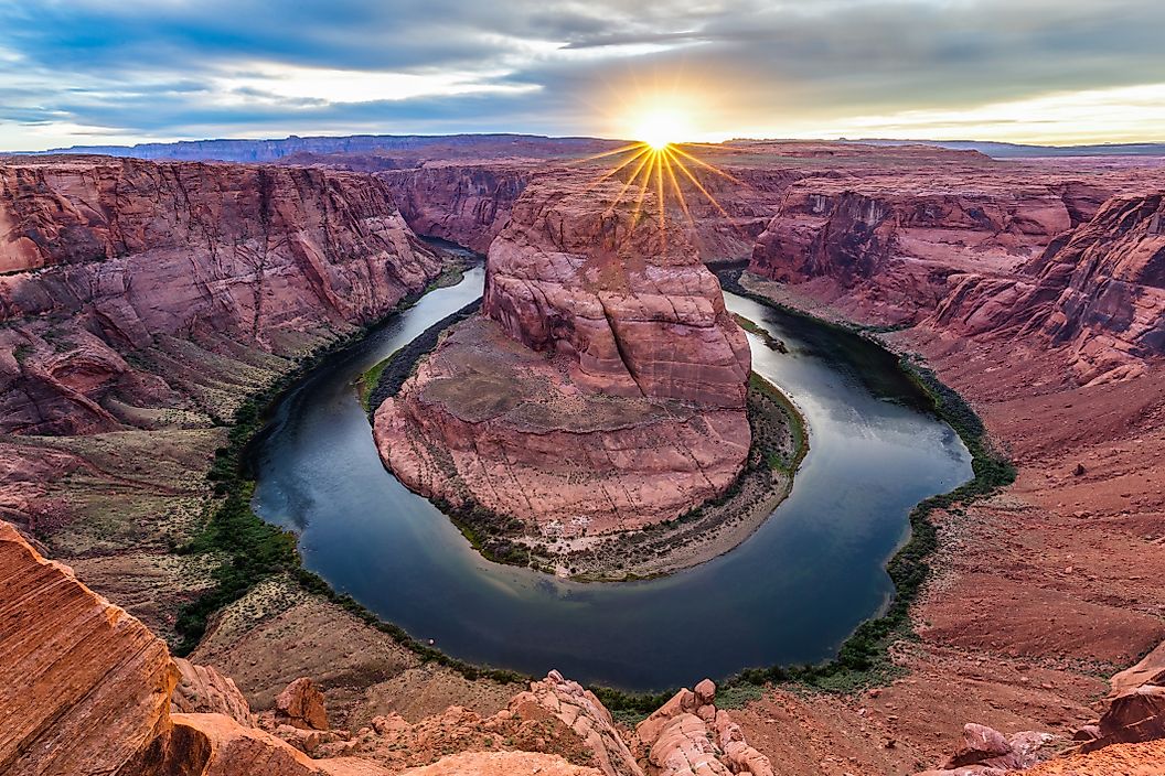
The elevation match is striking, and it does not mean the two reservoirs have lost equal volumes. That is the most common misreading of comparisons like this one.
A foot of elevation represents a different quantity of water in each basin. Powell is a flooded canyon system with steep walls and a very large surface area at higher elevations. Mead sits in a broader, shallower basin. The same vertical foot therefore holds different amounts in each.
Volume is the better measure of what is actually stored, and by that measure the two are also close: 6.79 million acre-feet at Mead against 5.29 million at Powell.
Both Peaked In The Same Month

The 1983 coincidence is what makes this comparison meaningful rather than arbitrary. That summer produced an exceptional runoff across the Colorado Basin, and both reservoirs recorded their highest levels within weeks of each other. Powell exceeded its full pool elevation entirely, which is why its all-time high sits above the 3,700-foot line.
Everything measured since works from the same starting point in the same year. These are two records of one river's hydrology rather than two separate stories.
Neither Declined Steadily
Averaging 188 feet across 43 years produces a figure that describes no year that actually happened, and the real pattern includes substantial recoveries.
Lake Mead gained 46.6 feet during 2011 alone after a strong Rocky Mountain snowpack, and rose roughly 16 feet across 2023 and 2024 following conservation measures and wetter winters. Powell rebounded in 2005, 2011 and 2023.
Both move in a staircase rather than down a slope. Each recovery has so far stopped below the previous high before the decline resumed, but the recoveries are real and they are measurable.
What Separates Them Is Margin

Total decline describes the past. The more practical figure is how much room each reservoir currently has above the elevation at which its dam stops generating electricity.
Minimum power pool is 3,490 feet at Powell and 950 at Mead. On October 18 that left Powell with 30.6 feet of margin and Mead with 87.2. Powell is closer to that threshold despite having lost slightly less elevation overall.
Neither is at the line. Crossing it would stop hydropower rather than water deliveries, since releases continue through other outlets, and dead pool sits a further 120 feet below at Powell and 55 below at Mead.
Capacity Is Also Shrinking Quietly

One change never appears in elevation data, and it works on a much longer timescale than drought.
Lake Powell lost storage capacity to sediment at an average of roughly 33,270 acre-feet a year between 1963 and 2018, about 11 billion gallons annually, reducing total capacity by around 7 percent since the dam closed.
Water levels recover. The space behind the dam does not, because silt settling on the bottom stays there. It is a slow process rather than an urgent one, and it is the part of the picture that a wet winter cannot reverse.
What The Comparison Actually Shows
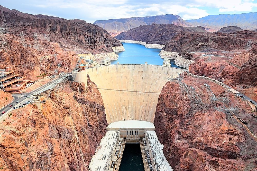
The value of setting these two side by side is not in deciding which has fared worse. It is that two enormous reservoirs on different stretches of the same river, serving different states under different legal frameworks, have arrived within a foot of each other. That consistency points at the river's supply rather than at any individual dam, agency or state.
If only one had declined, the argument would be about operations. Both declining identically moves the question to the water itself, which is where the current round of interstate negotiation has ended up.
The Short Answer

As of Reclamation's October 18, 2026 update, Lake Mead is 191.8 feet below full pool and Lake Powell 179.5. Measured from the peaks both set in July 1983, the figures are 188.6 and 187.8, a difference of under a foot.
They have lost almost the same amount because they are run as one system on one river. What differs is the room remaining: 87 feet at Mead and 31 at Powell above the point where each dam stops producing power, with water deliveries continuing well below that in both cases. Powell was rising in the week these readings were taken.