11 Best Natural Wonders To Visit In New England This Year
New England's Atlantic coastline and dense forests are home to a collection of natural wonders carved by ice, water, and ancient lava. In Maine, you can walk the rim of a three-mile slate gorge at Gulf Hagas or cross the desert near Freeport. Vermont's Camel's Hump has arctic-alpine tundra, while New Hampshire boasts a glacial erratic boulder that weighs nearly 5,000 tons. These eleven natural wonders show how glaciers, floodwater, and rifting continents built the region, and each one is worth a visit in 2026.
Gulf Hagas, Maine

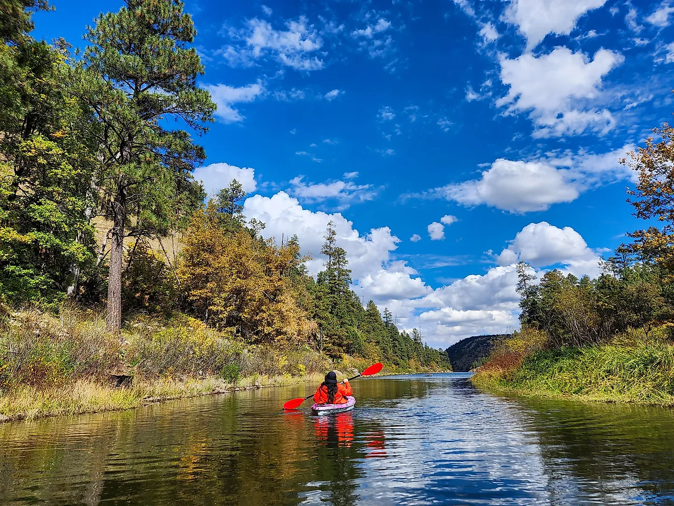
The West Branch of the Pleasant River cuts a slate gorge three miles long through the north woods of Maine. Its walls climb past 100 feet. Gulf Hagas carries a National Natural Landmark designation. The Rim Trail traces the edge past four named drops: Stair Falls, Billings Falls, Buttermilk Falls, and Screw Auger Falls. Loop trails total 5.2 miles. Counting the approach, the full round trip comes to eight or nine. Hikers ford the river during the approach.
Summer and early fall are the practical season and getting there takes planning. A commercial timber company owns the surrounding land, so drivers stop at a North Maine Woods checkpoint and pay a day fee. The Maine Office of Tourism warns that gates take cash or checks only. The checkpoints bar bicycles. Two checkpoints cover the area, Katahdin Iron Works out of Brownville Junction and Hedgehog out of Greenville. Maine Trail Finder flags weekends between 9 am and 4 pm as the busiest stretch on the trails.
Somes Sound, Maine

Somes Sound splits Mount Desert Island nearly in two, and most guidebooks call it the only fjord on the East Coast. The Park Service disagrees. Acadia National Park describes the inlet as a fjard, a glacially carved embayment drowned by the sea. The difference is scale. A true fjord runs deep between sheer walls. Somes Sound measures roughly 1,000 feet from seafloor to hilltop and is only around 175 feet at its deepest, against upward of 3,000 feet in Norway and a depth of hundreds to thousands of feet.
Ice did the work. Rangers explain that the last glacial advance carved this trough along a band of fractured granite, which gave the moving ice an easier path. A sill of igneous rock lies near the mouth, too shallow to slow the tide. Sargent Drive follows the eastern shore to a pullout where an exhibit panel spells out the argument. The sound is calmest in summer and through early autumn. Anyone who cares about the vocabulary can settle the question at that sign.
The Desert of Maine, Freeport

The Desert of Maine spreads across 20 acres of pale sand outside Freeport, and 2026 marks a century since the site first took visitors. The sand itself is glacial silt, dropped when the ice sheet withdrew. What uncovered it was farming. The Tuttle family bought this ground in 1821, and generations of tillage and grazing wore off the topsoil until the silt underneath showed.
The result looks like a desert and is not one. Freeport takes well over 40 inches of precipitation annually, while the threshold for a true desert is 10. Admission covers the dunes, the nature trails, and the Living Museum exhibits. It takes in the historic Tuttle Farmhouse too, along with a narrated train tour that lays out the geology. A snack bar and a mini golf course wait near the entrance. The audience is families, not geologists. The gates work from early May through the last weekend of October. Weekdays in May and afternoons in late September miss the busy summer weekends against which the operator warns.
Mount Chocorua, New Hampshire

Mount Chocorua rises 3,490 feet at the eastern edge of the Sandwich Range, and its bare granite crown is identifiable from points across central New Hampshire. The summit is the draw. Rock lies open in every direction up there, and the White Mountains roll away north and west. Two routes carry most traffic. The Piper Trail climbs 4.3 miles and 2,700 feet from Route 16, roughly three and a half hours to the top. The Champney Falls Trail leaves the Kancamagus Highway and gains the summit in 3.8 miles, passing Champney Falls and Pitcher Falls on the climb.
Timing changes what the mountain gives back. The Chocorua Lake Conservancy notes the falls show best in the wet months of the year. Autumn instead brings color across the Sandwich Range. Ice makes the summit ledges hazardous, so winter belongs to hikers carrying traction. Benjamin Champney, a painter who worked these mountains through the 19th century, gave the larger cascade its name.
Madison Boulder, New Hampshire

Madison Boulder began as part of a granite ledge, until an ice sheet tore it loose and carried it away. The block in its 17-acre clearing runs 83 feet long, 23 feet high above ground, and 37 feet wide. It weighs upwards of 5,000 tons, and New Hampshire State Parks reckons another 10 to 12 feet of the rock remains buried.
Federal designation came in 1970. The Interior Department named it a landmark for what it demonstrates. An ice sheet can pry enormous blocks of fractured bedrock free, then haul them miles from where they formed. The state had bought the site in 1946. A gravel path leads in from a small lot, roughly a 10-minute walk on ground graded for wheelchair access. Hardwoods ring the clearing and turn color in early autumn. Geologist Wallace Bothner matched the block to Whitten Ledge, about 1.5 miles off, by sampling the rock at both.
Camel's Hump, Vermont

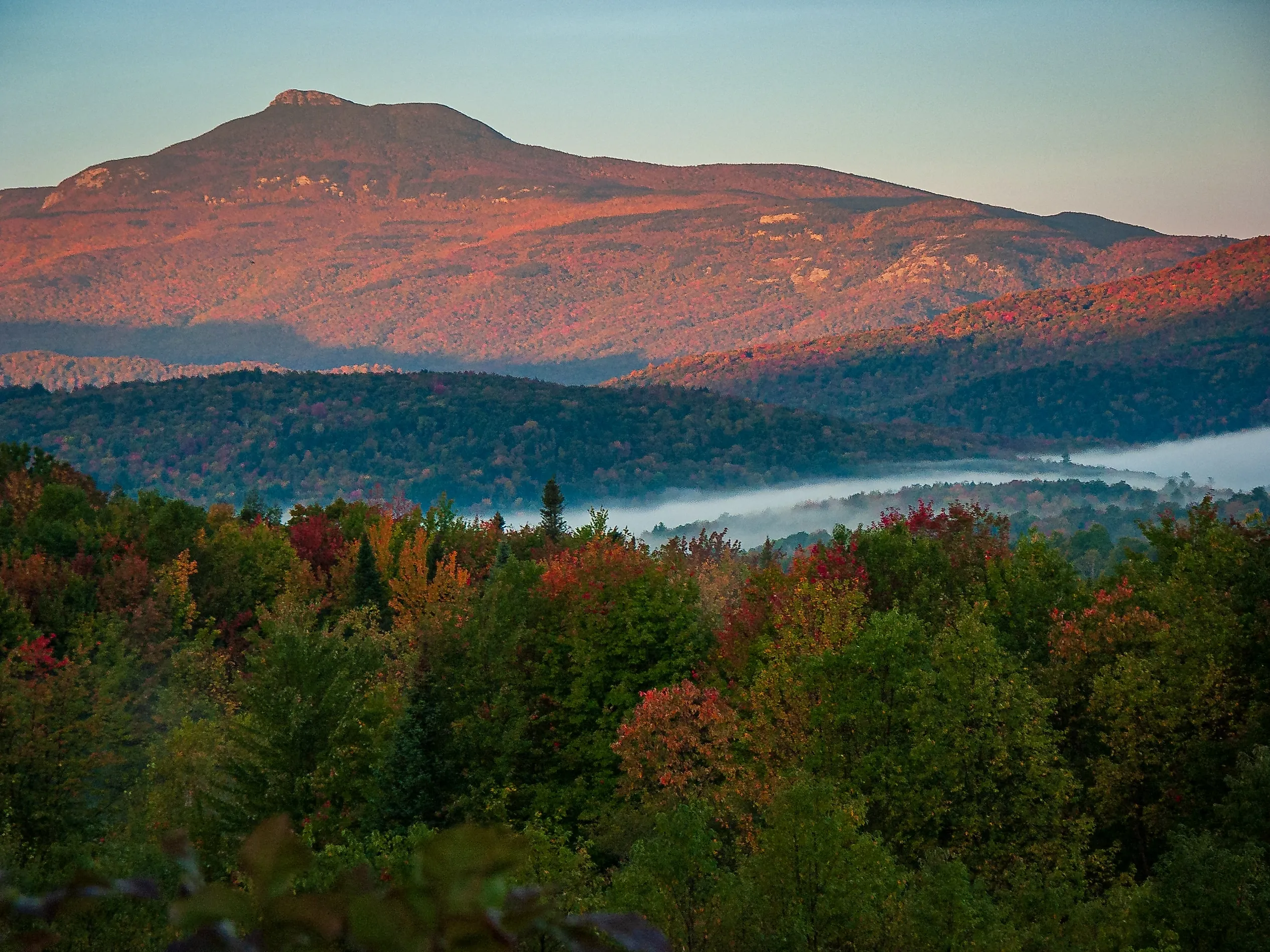
Camel's Hump carries something almost nothing else in Vermont has: roughly 10 acres of arctic-alpine tundra across its summit, one of very few such pockets in the state. Those plants outlasted the retreat of the ice. A single boot off the bare rock can undo decades of growth, which is why signs above treeline ask hikers to keep to bare rock.
The peak tops out at 4,083 feet, one of a handful of Vermont summits above 4,000 feet, and the Long Trail crosses it. Camel's Hump State Park keeps no entrance and no office. Access comes from undeveloped trailheads: the Burrows Trail in Huntington, the Monroe Trail in Duxbury, and the Long Trail at Appalachian Gap. Both the Burrows and Monroe lots fill on summer days. Vermont State Parks suggests carrying a backup hike in mind.
Season counts here more than at most summits. The state asks hikers off the trails while the ground is soft in spring, which pushes the opening toward late May. Camping is limited to Green Mountain Club shelters and the Hump Brook Tenting Area.
Texas Falls, Vermont

Texas Falls drops through a narrow gorge in the Green Mountain National Forest. The footbridge above it crosses what the Forest Service calls the remains of a large glacial pothole. The cascade took shape about 12,000 years back, when meltwater cut down through glacial till into bedrock. Swirling stones did the rest, grinding out the potholes that shape the gorge.
Older forces set the stage. This site belongs to the Green Mountain Anticlinorium, an arch of rock raised some 460 million years back, as the Iapetus Ocean closed. That arch reaches the length of Vermont. The water is the Hancock Branch, draining east into the White River and then the Connecticut River.
Two short trails thread the site. The Texas Falls Nature Trail loops 1.2 miles with only 70 feet of elevation change, about an hour at a walking pace. The Hancock Trail tracks the river 1.3 miles and crosses it three times on bridges. A gate shuts Forest Road 39 once snow arrives, so the drive in works spring through late fall. The Forest Service plows to the gate for winter parking.
Purgatory Chasm, Massachusetts

Purgatory Chasm runs a quarter mile through granite in Sutton. Walls climb as high as 70 feet, and boulders wedge along the floor. The Massachusetts Department of Conservation and Recreation credits the whole formation to a sudden release of dammed glacial meltwater near the close of the last ice age.
The floor is a scramble rather than a walk. Named squeezes mark the route, among them the Corn Crib, the Coffin, and Lovers' Leap. The reservation adds about two miles of trail beyond the chasm proper. Massachusetts took this land as a state reservation in 1919.
Gates work sunrise to sunset, and a parking fee applies through the warm months. The Chasm Trail shuts over winter because the rock turns slick, while every other trail stays open. Shade and stone keep the bottom cold regardless. The state warns against climbing during or after wet weather, when the granite turns slippery.
The Province Lands, Massachusetts

The Province Lands hold the most extensive dune field on Cape Cod, and that sand is still moving. Rangers sort the dunes into two kinds doing opposite work. Linear foredunes build just behind the beach, where onshore wind pushes sand inland until beach grass catches it. They shelter the fresh water and woods behind them. Parabolic dunes form farther inland, hollowed by wind into long horseshoes, and they are the larger of the two.
Dune heights range from a few dozen feet to over 100 near the Province Lands Visitor Center on Race Point Road. The center stands on a dune, and its observation decks give a full circle of Atlantic Ocean, bay, and sand. It runs seasonally, spring into October. Rangers, films, and a bookstore fill it. Ranger programs run daily through the summer and continue into October.
The Seashore asks visitors not to climb the foredunes from the beach, because those low ridges are doing the protecting. Congress established Cape Cod National Seashore in 1961, and the dunes have kept moving ever since.
Talcott Mountain, Connecticut

Talcott Mountain marks the place where Connecticut traprock shows its origin clearly. The rock underfoot is basalt. The Connecticut Geological Survey traces it to lava flows and intrusions that rose through the Hartford Basin roughly 200 million years earlier, while the continent pulled apart. State bedrock summaries set those flows between four sedimentary units, three volcanic layers in all.
Heublein Tower stands at the high point, 165 feet tall, about 1,000 feet above the Farmington River valley. October puts that valley in color below the observation deck.
Getting up there means walking. Connecticut DEEP records the tower as accessible by trail only, 1.25 miles each way, with the museum inside opening seasonally from 10 am to 5 pm. The park spans parts of Avon, Bloomfield, and Simsbury. Roughly four miles of footpath thread it. A stretch of the blue-blazed Metacomet Trail runs among them. Gilbert Heublein put the tower up in 1914 as a summer house. Reinforced concrete and 12-inch iron girders anchored into the ridge rate it for 100-mile-an-hour winds.
Napatree Point, Rhode Island

Napatree Point reaches 1.5 miles west from Watch Hill village, a sand spit built by longshore drift and the southernmost ground on the Rhode Island mainland. Its name recalls the neck of trees that once grew here, which the Great September Gale of 1815 stripped away.
By 1938, 39 cottages lined the dune crest. The hurricane that September swept every one into Little Narragansett Bay and cut the western tip free. Broken concrete from the old Fort Road still shows along the spine of the peninsula.
Nothing was rebuilt. The Watch Hill Fire District bought most ground here in 1945, then granted a conservation easement over its parcels to the Watch Hill Conservancy in 2013. Piping plovers nest on the spit now, and migrating shorebirds break their journey here. Bay water sits north, open ocean south. Crowds jam the spit through summer, and it empties once the season ends. That severed western tip is Sandy Point today, an island still creeping north across the bay toward the Stonington shore.
The Older, Wilder Side Of New England
If you want to understand how New England took shape, these eleven sites put the evidence right underfoot. From the slate walls of Gulf Hagas in northern Maine to the shifting sand at the tip of Cape Cod, they reveal a New England built by glaciers, floodwater, rifting continents, and a single afternoon of a hurricane. Whether you're drawn to alpine tundra, a granite chasm, or a boulder an ice sheet carried for miles, New England's natural wonders reward a visitor who plans around the season.