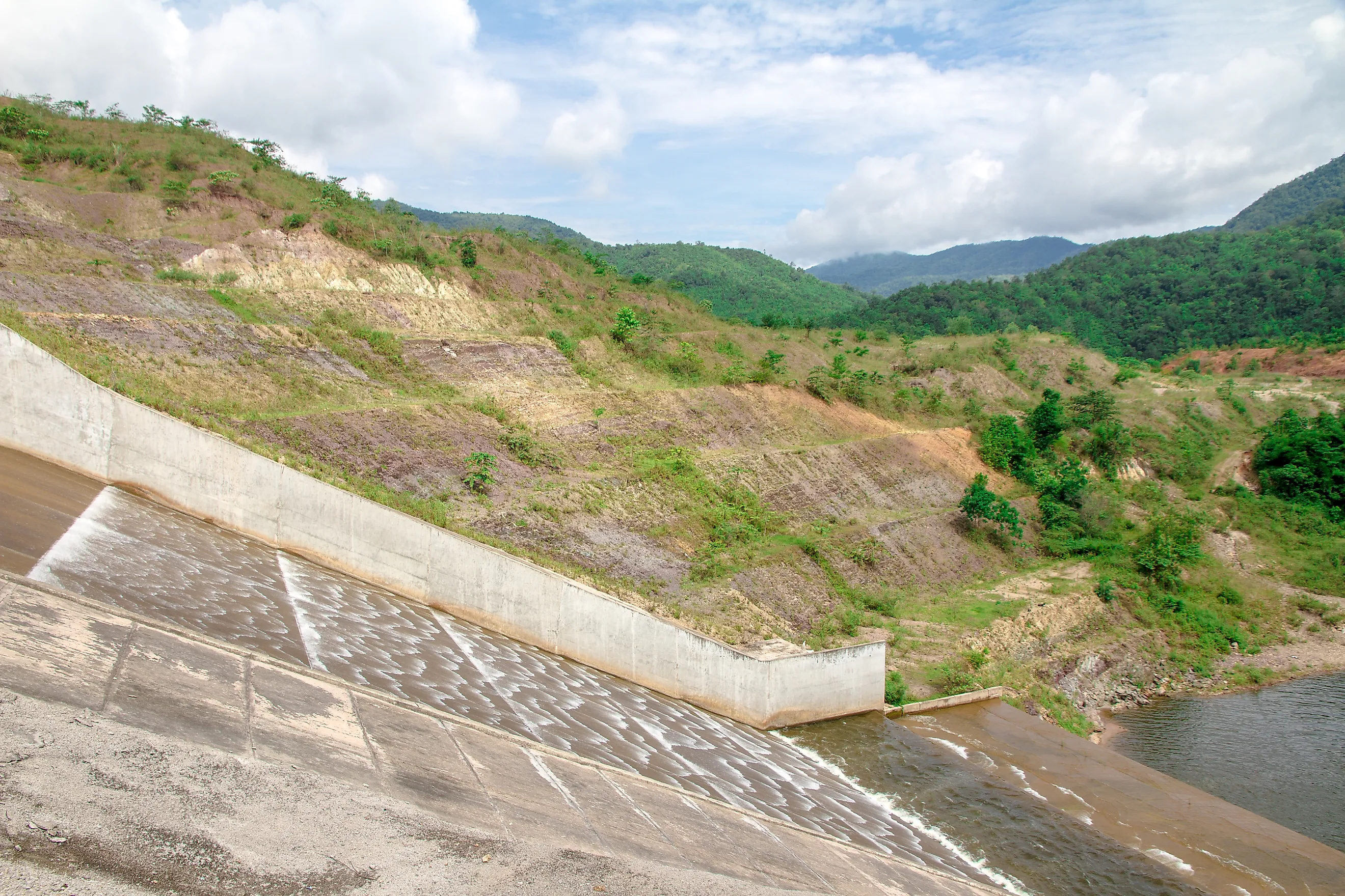
The US Reservoirs That Have Never Filled Completely
A reservoir's whole purpose is to hold water at, or near, the level engineers designed it for, stable enough to supply cities or irrigate farmland. Scattered across the country are a handful that have never come close. Bedrock riddled with sinkholes can empty a basin before the concrete has cured, upstream pumping can dry the river feeding it, and seepage can go unsealed years after the ribbon-cutting. The result is hundreds of millions of taxpayer dollars sunk into lakes that exist mostly on paper. Unlike the reservoirs out west that may never refill, none of these five ever had its moment at the top, and the most complete failure comes first.
Anchor Dam, Wyoming

Anchor Dam is on Owl Creek in Wyoming's Bighorn Basin, about 35 miles (56 km) west of Thermopolis. The US Bureau of Reclamation finished building it on October 26, 1960, and it may be the single most complete failure of a dam project in American history. The reservoir behind it has essentially never held water.
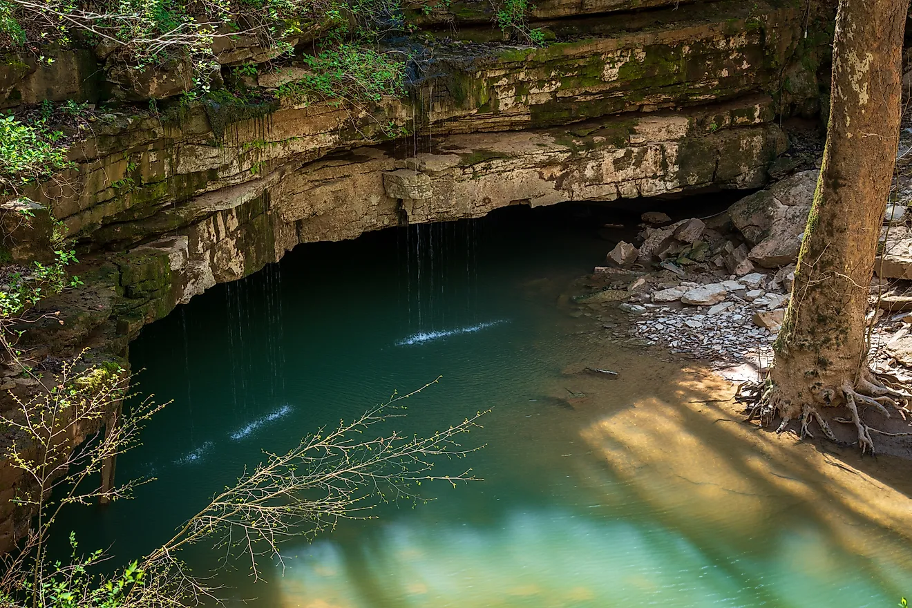
The problem is what lies beneath. The dam sits on dolomite, a limestone-like rock riddled with underground channels carved out by dissolving groundwater, a process known as karst formation. During construction, crews found cavities so large they poured more than 2,000 cubic yards (1,530 cubic meters) of concrete trying to seal them. It did not work. Water kept vanishing into new sinkholes almost as fast as engineers could plug them. By the mid-1970s, workers had identified and filled more than 50, at least one of them 30 feet (9 m) across and 35 feet (11 m) deep.
Anchor Dam was designed to impound 17,400 acre-feet (21.5 million cubic meters), a modest amount next to Bureau reservoirs like Alcova or Pathfinder, but predicted to be a meaningful irrigation source. At 208 feet (63 m) tall, it would still rank among the country's more substantial dams by height. Construction cost $3.4 million. Then failed fixes pushed the total closer to $7 million, and the Bureau largely gave up remediation by the mid-1970s. Today, the Owl Creek Irrigation District still relies on the dam for limited late-season irrigation, but the reservoir has never held anywhere near its design capacity.
Optima Lake, Oklahoma

It never got close. While the project was being built, farmers across the Ogallala Aquifer region ramped up groundwater pumping, and the Beaver River's flow, which had historically averaged about 32.2 cubic feet per second (0.9 cubic meters per second), collapsed. On May 31, 1980, the reservoir reached an all-time high elevation of 2,722.90 feet (830.0 m). This benchmark still came in below the 2,726-foot (830.9 m) minimum needed just to activate the conservation pool. By the early 1990s, flow near Guymon had dropped below 0.2 cubic feet per second. The Corps closed the site's park facilities in 1995 and demolished them in 2010. A 2025 disposition study recommended keeping the project for flood control, recreation, and wildlife use, a very different fate from the reservoirs profiled in The US Reservoirs Closest To Dead Pool Status, which at least spent decades operating as intended before declining.
Twitchell Reservoir, California

Straddling the San Luis Obispo and Santa Barbara county line on California's Central Coast, Twitchell Reservoir was built by the US Bureau of Reclamation between 1956 and 1958 on the Santa Maria River. Unlike Anchor Dam or Optima Lake, its emptiness is not really a failure. It is the plan working as intended, just not in the way "reservoir" usually implies.
The Central Coast is dry, averaging only about 14 inches (356 mm) of rain a year, most of it falling in a handful of winter storms. Rather than storing that runoff behind the dam long-term, operators release it "as quickly as possible" while still letting it soak into the streambed below, recharging the groundwater basins that local farms and towns actually depend on. The reservoir was designed to hold up to 197,756 acre-feet (about 244 million cubic meters), but it is rarely anywhere close to that. Its real job, boosting groundwater recharge by an estimated 20,000 acre-feet (roughly 24.7 million cubic meters) a year, happens precisely because the lake behind the dam does not stay full. Sedimentation has complicated the picture further, building up roughly 70% faster than engineers originally projected and, at times, clogging the outlet works. Twitchell is not accessible to the public, but it belongs on any reservoir list that pays attention to design capacity rather than typical water level.
Sanchez Reservoir, Colorado

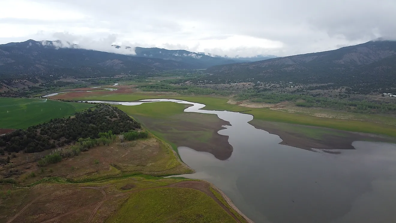
In the San Luis Valley of south-central Colorado, west of the Sangre de Cristo Mountains, Sanchez Reservoir was completed in the early 1910s in Costilla County to store water diverted from Ventero Creek and the Sanchez Canal, which itself draws from Culebra Creek and two other streams. More than a century later, it still has not lived up to its design.
The reservoir was built to hold up to 137,850 acre-feet (about 170 million cubic meters) across a surface of 3,145 acres (1,273 hectares), impounded by an earthen dam roughly 130 feet (40 m) high. In practice, two problems have kept it well short of that mark ever since. The dam itself leaks significantly, and the arid San Luis Valley has spent long stretches in drought. This combination leaves too little water in its source creeks to make up the difference. Colorado Parks and Wildlife now manages the site as the Sanchez Reservoir State Wildlife Area, popular with anglers chasing northern pike and walleye. Take note, though, that a fish consumption advisory is in effect due to elevated mercury levels in those species. Unlike the more current declines tracked in US Lakes Losing The Most Water To Drought, Sanchez is a reminder that not every underfilled reservoir is a recent problem. Some reservoirs have been quietly falling short of their blueprints for well over 100 years.
C-44 Reservoir, Florida

The newest entry here, C-44 Reservoir in western Martin County, Florida, shows that "never filled" failures aren't only a 20th-century phenomenon. Built by the US Army Corps of Engineers as part of the Comprehensive Everglades restoration effort, the $339 million project was designed to capture stormwater runoff and Lake Okeechobee discharges before they reach the St. Lucie Estuary, filtering the water through an adjoining treatment marsh. Its pumps went online in November 2021.
The reservoir was designed to span 3,400 acres (1,376 hectares) at a maximum depth of 15 feet (4.6 m), holding more than 16 billion gallons (about 60.6 million cubic meters) at full pool. It has never gotten there. Water has been seeping out through the ground surrounding the reservoir almost since day one. The Army Corps calls it a maintenance problem rather than a structural flaw, but it has held the reservoir well below its design level ever since. Corps gauge data from August 29, 2026, showed a depth of about 7.3 feet (2.2 m), just under half its design depth. Relief wells are expected to stop the seepage once they are complete. Until those repairs hold, C-44 will keep operating well under capacity.
Lessons From America's Emptiest Reservoirs
These reservoirs span more than a century of American engineering, from an early-1900s earthen dam in rural Colorado to a $339 million Everglades restoration project finished in 2021. Their causes are just as varied, running through dissolving bedrock, a drying river, a deliberate design choice, chronic leakage, and unresolved seepage.
The same lesson appears again and again in the history of water across the American West and beyond. A reservoir's paper capacity is never a guarantee. Rivers change, aquifers get pumped down, geology gets discovered the hard way, and even the best-funded modern projects can take years to work as intended, if they ever do. These underfilled reservoirs are often just as telling as the famous ones, brimming one decade and running dangerously low the next.