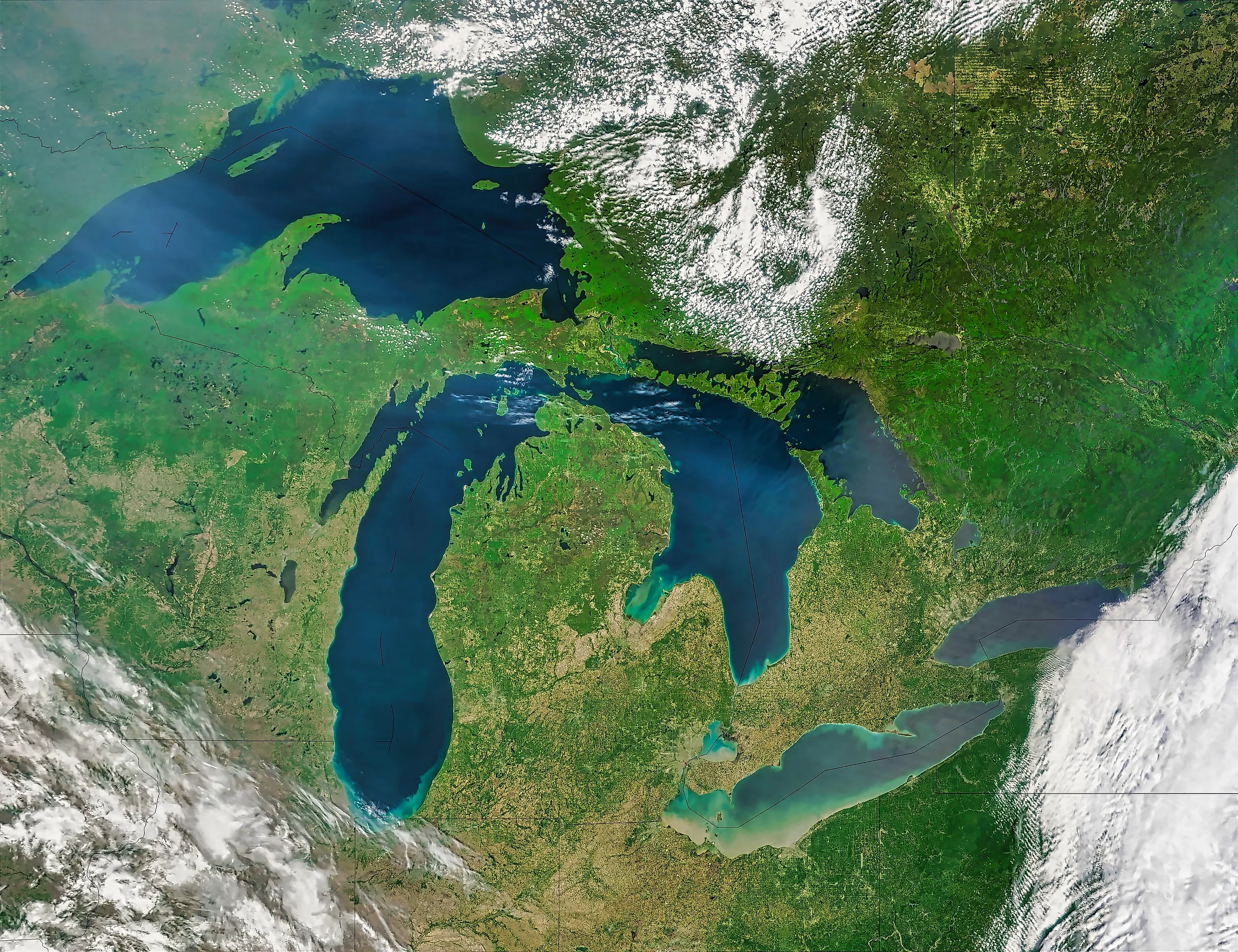
The Underwater Cliffs And Canyons Of The Great Lakes
The Great Lakes are no mere lakes; they much more closely resemble an inland sea, with their volume, size, and features lurking just under the surface. They vary significantly in depth from Lake Erie's average of 62 feet to more than 1,300 feet at Lake Superior's deepest point.
Underneath the water, the Great Lakes are by no means flat; they are covered with underwater cliffs and mountain-like features known as shoals. These features vary from a former land bridge used by prehistoric groups to an ancient structure made of volcanic rock that is even older than the dinosaurs.
Lake Ontario

Although Lake Ontario is the smallest of the Great Lakes by surface area, it is actually deeper than Lake Erie and Lake Huron, with a maximum depth of 802 feet. Its average depth is 283 feet, which is only surpassed by Lake Superior. Beneath the surface is a complex system of four basins, which are separated by three ridges.
They go from west to east: the Niagara, Mississauga, the newly identified Genesee, and Rochester Basins, and gradually increase in depth as one goes east, with the Rochester Basin containing the deepest section of Lake Ontario. The deepest section of the Mississauga, Genesee, and Rochester Basins sits further to the south rather than in the center, due to the lake's mixture of heavily eroded shales and more erosion-resistant limestones.
One of the most unusual underwater features is a depression located more than 62 feet beneath the surface that measures more than 3,280 feet in diameter. Identified as Charity Shoal, some have suggested this feature could be a meteor impact, especially due to a slight negative magnetic feature, but some suggest it could be a sinkhole or ancient volcanic cone.
Lake Erie

Lake Erie is the shallowest of the Great Lakes, with an average depth of 62 feet and a maximum depth of 210 feet. However, beneath and above the surface, there are several ridges and shoals.
One of the lake's most unusual features is the Long Point, a 25-mile-long narrow sand spit that sits out over a very steep drop-off in the eastern basin, the deepest point of Lake Erie. Beneath the surface are several ridges, such as the Clear Creek Ridge that runs from the shoreline in Ontario, Canada, to Pennsylvania Channel, and likely formed early on in Lake Erie's formation when water levels were much lower. Another ridge is the Long Point Erie Ridge, which goes down from the Long Point spit itself to Erie, Pennsylvania. Scientists believe this formed with the last advance of glacier ice towards the end of the Ice Age.
Underneath the lake in Ohio, there is an underwater island that today is a shoal known as Gull Island Shoal. Due to erosion and rising water levels, it disappeared under the water in the early 20th century, and today is a popular place to go to fish for walleye.
Lake Huron

Lake Huron is the second shallowest of the Great Lakes, with an average depth of 195 feet and a maximum depth of 750 feet. Yet, at one point in its formation, there was a land bridge that stretched across lower Michigan to southern Ontario.
Known as the Alpena-Amberley Ridge, it was used by human hunters dating back to 9,000 years ago. It was a mixture of prairie grasses, spruce, and marshes, and was a habitat for caribou, which attracted hunters. Hunting artifacts have been found in this ridge, which today is submerged at depths of 50 to 164 feet as water levels rose.
Thunder Bay National Marine Sanctuary, off Alpena, protects a stretch of Lake Huron known for its shoals and powerful winds, which caused more than 200 shipwrecks; today, it is a major destination for scuba diving.
Lake Michigan

Lake Michigan is the second deepest of the Great Lakes by maximum depth at 925 feet, although its average depth is less than Lake Ontario at 279 feet. At its deepest point in the Chippewa Basin. The basin was the site of Lake Chippewa, which wass the ancient lake that formed as glaciers began to retreat at the end of the last Ice Age.
The biggest ridge in Lake Michigan is the Two Rivers Ridge, marking the limit of the last major readvance of the Laurentide Ice Sheet, which used to cover the entirety of the Great Lakes. The ridges in the northern section of Lake Michigan were directly shaped by glacial drift, especially in the island region. NOAA notes that these ridges have "steep escarpments and relatively deep, flat-floored valleys."
Right off the shore from Chicago, there is Morgan Shoal, which is 300 to 600 feet from the shoreline. Divers and researchers have discovered 15 species of fish around the shoal, along with the Silver Spray shipwreck, which ran into the shoal on July 15, 1914, and sank.
Lake Superior

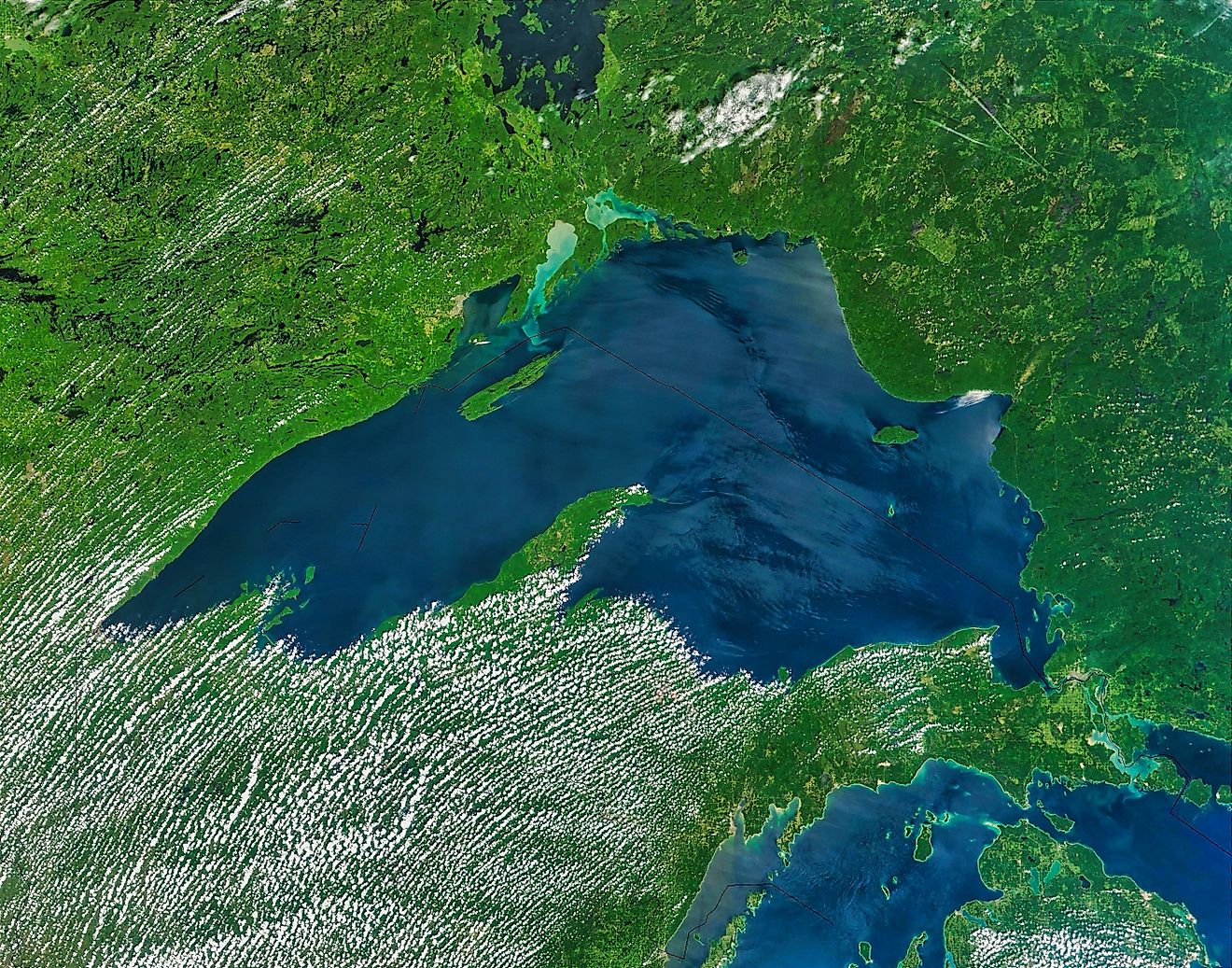
Lake Superior is the biggest in many ways. It's the largest freshwater lake by surface area on Earth at 31,700 square miles. The third largest by water volume at 2,900 cubic miles. Lake Superior is also the deepest of the Great Lakes at 483 feet average depth and 1,333 feet maximum at Superior Maximus, which has a pressure 40 times greater than on the surface. Although Lake Superior emerged at the end of the last ice age, the rocks around it are much older and were shaped by the Midcontinent Rift system.
Around 1.1 billion years ago, the North American continent began to tear apart, but never completed this process. The rocks below the surface show volcanic basalt rocks. One of the best examples of this process is Superior Shoal, a volcanic rock formation that rises up 1,000 feet from the bottom of the lake.
Its highest point is submerged under 20 feet of water. The basaltic rocks have proved to be resistant to all manner of forces, including the glaciers that formed Lake Superior in the first place. Today, it is surrounded by lake trout, which live around the shoal. These trout were able to survive the major die-off during the sea lamprey invasion in the 20th century.
The Great Lakes were shaped by erosion
Erosion was the primary force that shaped the bathymetry (the study of beds and floors of bodies of water) of the Great Lakes. However, erosion did not affect the lakes equally. The layers of eroded and erosion-resistant rocks give Lake Ontario its asymmetrical quality, while in the case of Lake Superior, the volcanic rocks remained resistant to the forces of water and ice over more than a billion years.
Erosion has even had recent impacts on the Great Lakes, with former islands sinking beneath the waves and becoming underwater shoals. Even the Great Lakes themselves are, all things considered, a fairly recent feature in North America, only emerging in their present shape and levels around 3,000 years ago. Yet underneath the water, one can uncover stories from their beginnings and beyond.