Why Some Rivers Disappear Underground
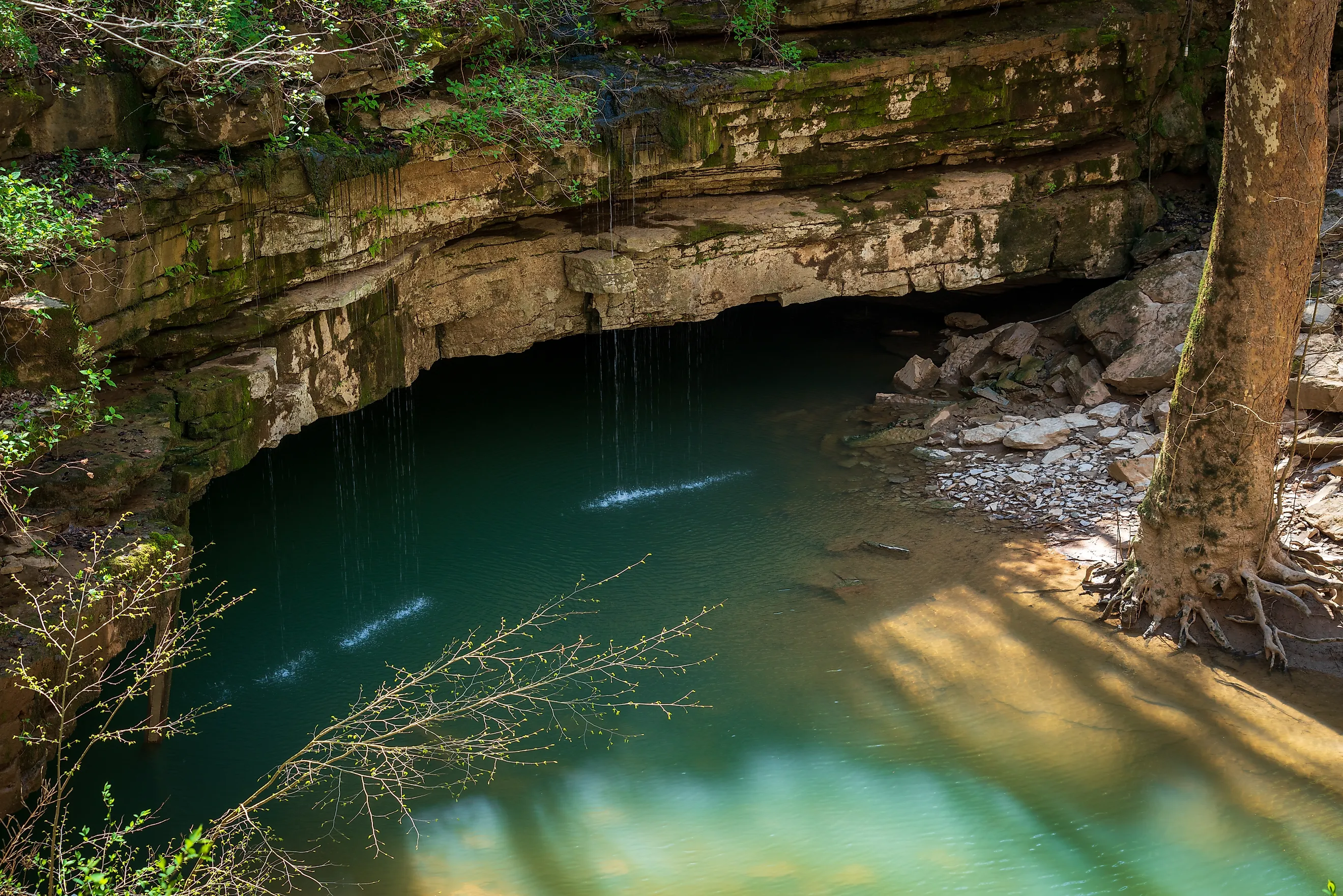
Many disappearing streams occur in karst landscapes underlain by soluble rock such as limestone. Rainwater becomes mildly acidic after absorbing carbon dioxide from the atmosphere and soil. Over long periods, that water can dissolve limestone into caves and underground conduits. Sinkholes can then funnel surface water below ground. The karst of Florida's Santa Fe River provides a striking example. Water draining toward Kentucky's Mammoth Cave also enters an extensive underground system. Other rivers disappear for different reasons. New Hampshire's Lost River passes beneath immense granite blocks. Idaho's Big Lost River loses water into sediments and the regional aquifer beneath the Snake River Plain. In California, much of the Mojave River infiltrates permeable sand and gravel. Read on to discover more about the phenomenon of disappearing rivers and where they tend to occur.
Rock That Rain Can Dissolve

At Mammoth Cave in Kentucky, much of the disappearing water comes from the sinkhole plain southeast of the park. Rain drains into sinkholes and moves through underground passages before reaching springs along the Green River. According to the National Park Service, groundwater can travel more than 7 miles from the sinkhole plain as it passes through parts of the Mammoth Cave system.
Mammoth Cave National Park contains five major levels of cave passages. The Green River acts as the region's master stream, and changes in its elevation helped control where passages formed over time. Periods when the river remained at relatively stable elevations contributed to distinct cave levels. The lowest is the modern river level, more than 300 feet beneath the surface. River Styx Spring and Echo River Spring are among the places where groundwater from the cave system reaches the Green River. Water continues to move through the lowest parts of Mammoth Cave, dissolving limestone and enlarging passages in the world's longest known cave system.
A Natural Bridge Over A Buried River

Half a mile below the main parking area at O'Leno State Park, Florida's Santa Fe River enters the River Sink. The river flows into the karst limestone of the Cody Scarp and travels underground for a little over 3 miles before resurfacing at River Rise Preserve State Park. Florida State Parks describes the River Sink and River Rise as the largest swallet-to-resurgence system in Florida. At low water, the river can appear to stop as quietly as a pond. At high water, it swirls counterclockwise in the sink, its rotation accelerating as the water level rises.
A severe drought from 2000 into early 2004 reduced the tannins that normally darken the water. Improved visibility allowed permitted divers to survey the underground system for the first time. They mapped just over 50,000 feet of passage in what became known as the Bellamy Cave system. The conduits average about 140 feet below the surface and reach depths of about 180 feet in some areas. The land over the buried river forms a natural bridge that people have used to cross the Santa Fe for more than 14,000 years. In 1824, the federal government contracted John Bellamy to build a road from St. Augustine to Tallahassee. The route crossed the same land bridge and became known as Bellamy Road.
No Limestone Required

Granite hides the Lost River in New Hampshire's White Mountains. The brook drains the southeastern side of Kinsman Notch, a pass about 2,000 feet above sea level in Woodstock. Within a narrow glacial gorge, the water disappears beneath immense blocks of granite. It cascades through gaps between the boulders before emerging and eventually joining the Pemigewasset River.
Glacial processes helped create the gorge. A continental ice sheet once blanketed New England, reaching roughly a mile in thickness in the region. Moving glacial water shifted massive boulders and carried sediment that helped smooth the exposed rock. The resulting boulder-filled gorge is now protected within the Lost River Reservation.
The first documented exploration of the gorge dates to 1852. According to the Society for the Protection of New Hampshire Forests, brothers Lyman and Royal Jackman were fishing along the stream when Lyman slipped through a moss-covered opening. He fell about 15 feet into a waist-deep pool in what is now called Shadow Cave. Today, the gorge admits ticketed visitors during its seasonal operating period.
Lava That Swallows A River

About 1,400 square miles drain through Idaho's Big Lost River basin. The river gathers water from mountainous country in south-central Idaho before flowing southeast toward the Snake River Plain. Downstream, irrigation diversions and seepage can greatly reduce its surface flow. The river ultimately ends within a closed basin of sinks and playas rather than reaching the Snake River by a surface channel.
The subsurface geology becomes especially important where the river approaches the eastern Snake River Plain. The regional aquifer occupies a thick sequence dominated by basalt lava flows with sediment between them. Fractures and highly permeable zones between basalt flows can transmit large quantities of groundwater. The eastern Snake River Plain aquifer is a major groundwater resource for southern and eastern Idaho.
Water infiltrating from the Big Lost River contributes to this much larger regional groundwater system. Groundwater generally moves southwest across the eastern Snake River Plain and eventually discharges through major springs along the Snake River canyon near Twin Falls. Many springs emerge high on the canyon's north wall. Some outlets are about 200 feet above river level. The Thousand Springs group has historically averaged more than 1,000 cubic feet per second of water.
Water Under The Sand

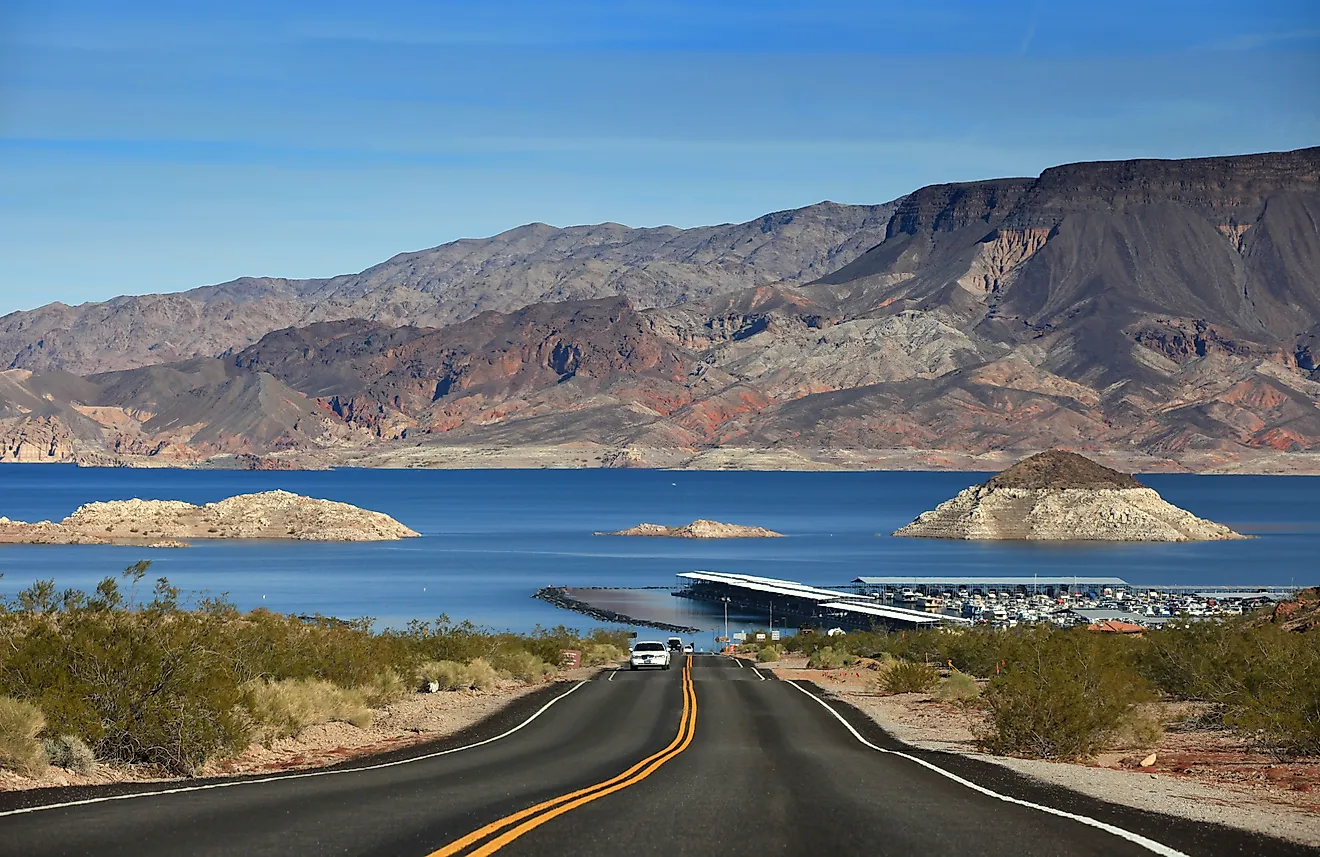
The Mojave River extends about 110 miles through San Bernardino County. Most of its channel is typically dry, although groundwater supports perennial surface flow in a few reaches, including near Victorville and in Afton Canyon. Much of the river's water infiltrates a floodplain aquifer composed of permeable river deposits beneath the Mojave Desert. The floodplain aquifer is generally less than about 200 feet thick, although its thickness varies from place to place.
The river and aquifer are closely connected. During floods, surface water can seep downward and recharge groundwater. Elsewhere, groundwater can return to the surface. In Afton Canyon, shallow, low-permeability deposits restrict underground movement and force groundwater upward. This helps maintain one of the Mojave River's few perennial surface reaches. Sediment carried by the Mojave River has also supplied material to major dune fields farther east. Wind has transported river-derived sand toward the Kelso Dunes and Devils Playground in Mojave National Preserve.
Where The Ground Takes Over

Limestone explains the underground drainage at Mammoth Cave and Florida's River Sink. Other geology produces similar results elsewhere. New Hampshire's Lost River disappears beneath glacial boulders. In Idaho, river water enters a regional groundwater system associated with sediments and fractured basalt. Much of the Mojave River infiltrates sand and gravel. At each location, a substantial portion of the water can continue underground through caves, boulder-filled channels, sediment, or aquifers before reappearing elsewhere or joining a larger groundwater system.