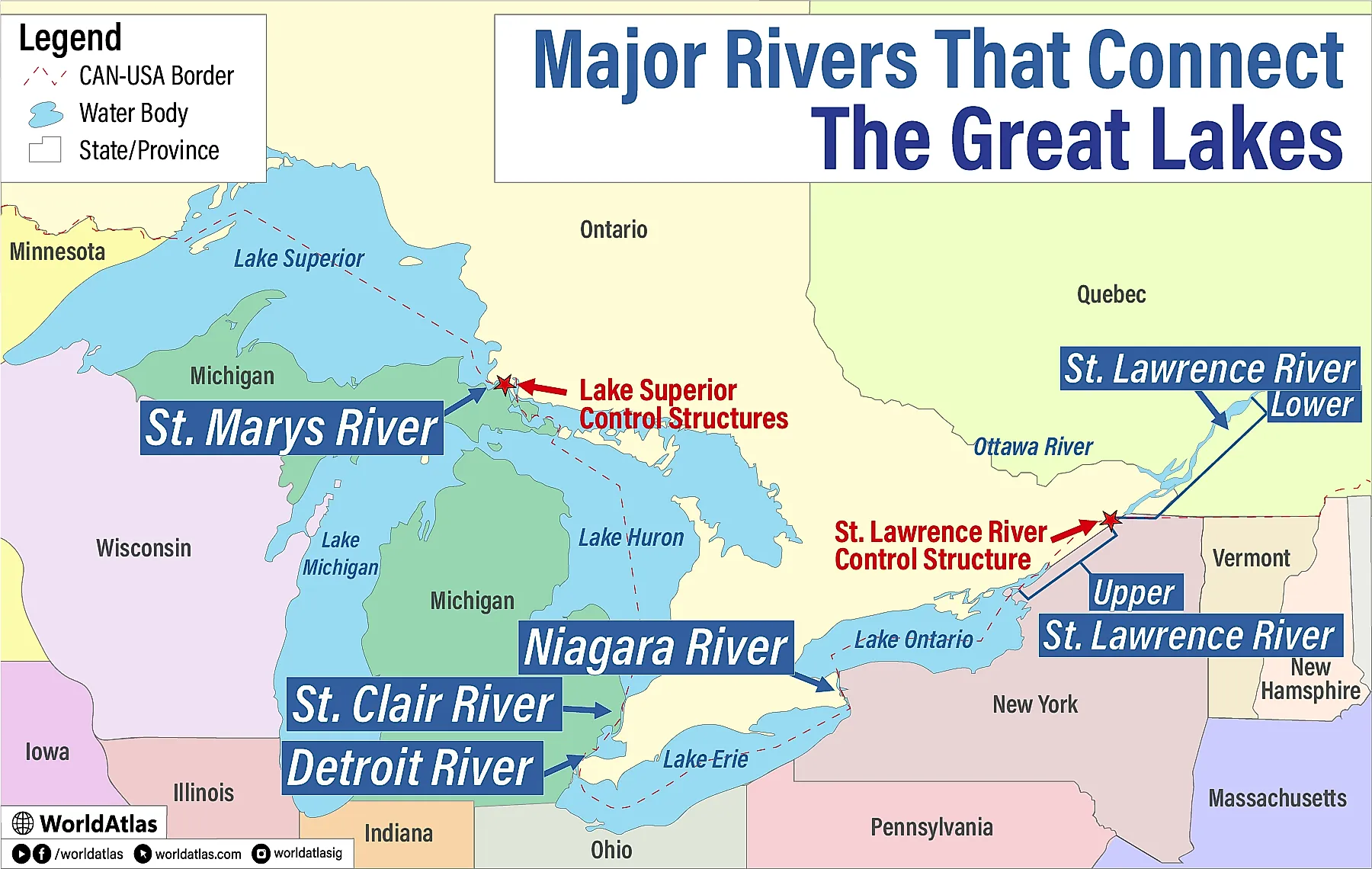
The Major Rivers That Connect The Great Lakes
The Great Lakes function as one vast freshwater engine, and the connecting rivers are the corridors that keep water, ships, and ecosystems moving from lake to lake.
The key links in this chain are the St. Marys, St. Clair, Detroit, Niagara, and St. Lawrence rivers. Together they carry water from Lake Superior to Lake Huron, onward to Lake Erie, into Lake Ontario, and out to the Atlantic.
Their significance is practical and visible across the U.S. and Canada. The Soo Locks on the St. Marys turned a historic barrier into a major shipping gateway for iron ore and other bulk goods that support regional manufacturing. The St. Clair-Detroit corridor forms one of the busiest cross-border freshwater routes and also supplies drinking water to large shoreline communities. Additionally, the Niagara River's dramatic 167-foot drop at Niagara Falls powers major hydroelectric stations on both sides of the border under carefully managed flow rules. And lastly, the St. Lawrence anchors the seaway network that opened inland ports to ocean trade in 1959.
St. Marys River

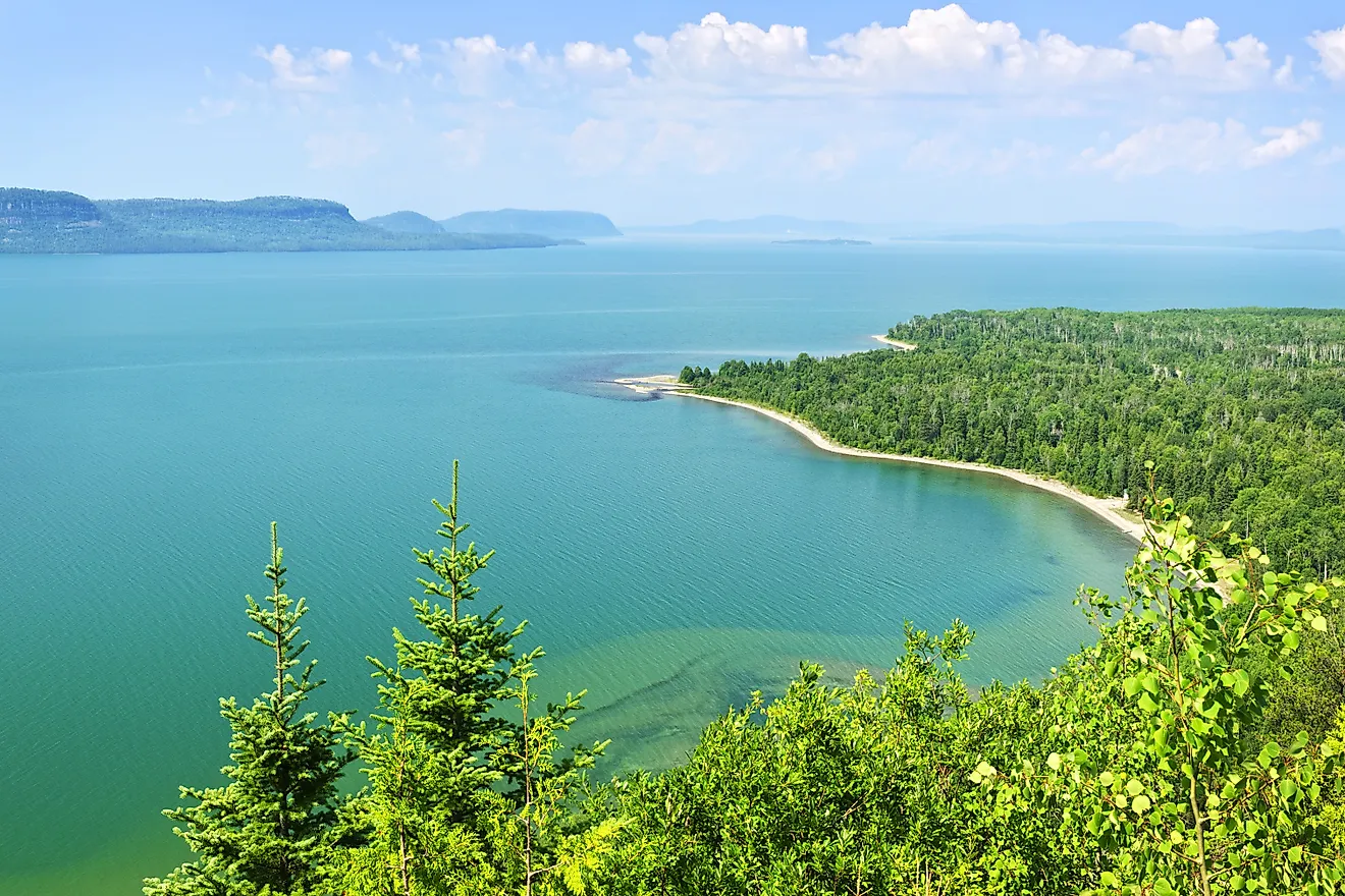
The St. Marys River is the natural waterway that connects Lake Superior to Lake Huron, marking the beginning of the Great Lakes' outflow system. Stretching about 74 miles (119 km), it forms part of the international border between the United States (Michigan) and Canada (Ontario). It is the only natural outlet from Lake Superior and plays a critical role in regulating water flow into the rest of the Great Lakes.
Because of the river's 25-foot elevation drop between Superior and Huron, navigation was historically limited. To solve this, the Soo Locks were built at Sault Ste. Marie, Michigan, in the mid-1800s. Today, the lock system, especially the Poe Lock, which accommodates the largest freighters, is among the busiest in the world by tonnage. The U.S. Army Corps of Engineers manages the locks and controls water levels for navigation, environmental balance, and hydroelectric production.
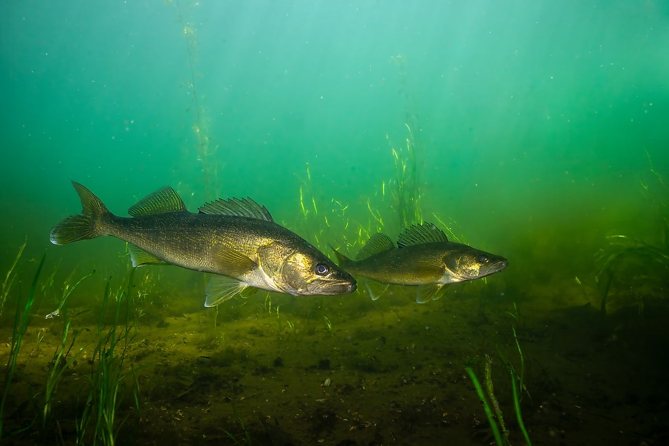
Ecologically, the St. Marys River provides important cold-water habitat for species like lake trout and whitefish. It is monitored closely for water quality, as parts of it are designated an Area of Concern under the U.S.-Canada Great Lakes Water Quality Agreement.
St. Clair River

The St. Clair River connects Lake Huron to Lake St. Clair, forming a vital segment in the Huron-Erie Corridor, which links the upper and lower Great Lakes. It flows south for approximately 40 miles (64 km) and forms part of the international boundary between Michigan (U.S.) and Ontario (Canada). Water exits Lake Huron at Port Huron, Michigan, and flows into Lake St. Clair near Algonac.
As part of the continuous waterway from Lake Superior to Lake Erie, the river supports significant freighter traffic, moving materials like iron ore, coal, and grain. Although not heavily industrialized along its full length, its 3-5 mph average current speed contributes to pollutant dispersion, but also creates challenges for shoreline stability and navigation.
Industrial activity, particularly near Sarnia's Chemical Valley, has affected water quality. As a result, the St. Clair River is listed as an Area of Concern under the U.S.-Canada water quality agreement. Cleanup projects are ongoing, including sediment removal and shoreline restoration.
In addition to commerce, the river supports municipal water supplies, sport fishing, and recreation, making it essential to the economic and ecological health of the region.
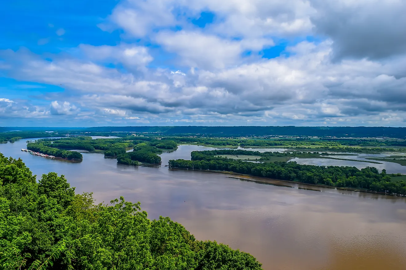
Detroit River

The Detroit River connects Lake St. Clair to Lake Erie, forming a key section of the Great Lakes-St. Lawrence Seaway system. Flowing southward for about 28 miles (45 km), it marks the international boundary between Michigan (U.S.) and Ontario (Canada). It carries the outflow of Lake Huron (via Lake St. Clair) into Lake Erie, continuing the path toward the Atlantic.
The Detroit River is a major shipping route, with more than 70 million tons of cargo passing through annually, according to the U.S. Army Corps of Engineers. It supports the movement of iron ore, coal, petroleum, and other goods vital to U.S. and Canadian industries. It also supplies drinking water to millions on both sides of the border.
The river has faced severe environmental degradation due to urban and industrial development, especially near Detroit and Windsor. It was designated an Area of Concern in 1987, prompting binational restoration efforts. Water quality and habitat conditions have improved significantly since then.
In 2001, the U.S. side of the river was designated the Detroit River International Wildlife Refuge, the first of its kind in North America, highlighting its renewed ecological value alongside its industrial role.
Niagara River

The Niagara River connects Lake Erie to Lake Ontario, forming one of the most iconic and powerful links in the Great Lakes system. Flowing northward for about 36 miles (58 km), it defines part of the international border between New York (U.S.) and Ontario (Canada). It carries the full outflow of Lake Erie into Lake Ontario, eventually reaching the Atlantic through the St. Lawrence River.
A defining feature of the river is Niagara Falls, where the river drops about 167 feet (51 meters) in a dramatic cascade split between the American Falls and Horseshoe Falls. These falls are both a global tourist destination and a major hydroelectric power source, with generating stations on both sides supplying power to millions.
Water diversion for energy and navigation is tightly controlled under the 1971 Niagara River Water Diversion Treaty between the U.S. and Canada. Because of the falls, the river is not navigable; instead, ships bypass it via the Welland Canal, a man-made detour that connects Lake Erie to Lake Ontario.
Despite past pollution and habitat disruption, the river remains an Area of Concern, though ongoing restoration projects are steadily improving conditions along its banks.
St. Lawrence River

The St. Lawrence River carries water from Lake Ontario to the Atlantic Ocean, serving as the final link in the Great Lakes-St. Lawrence Seaway system. It stretches about 744 miles (1,197 km) from Kingston, Ontario, through Quebec, and into the Gulf of St. Lawrence. It flows northeast and forms part of the border between Canada and New York State (U.S.) in its upper reaches.
The river is a critical shipping route, forming the backbone of the St. Lawrence Seaway, which was completed in 1959. This system of locks, canals, and dredged channels enables ocean-going vessels to reach inland ports like Toronto, Cleveland, and Duluth. According to the Great Lakes St. Lawrence Seaway Development Corporation, over 160 million tons of cargo move through this system annually.
The St. Lawrence also powers large hydroelectric facilities, including the Moses-Saunders Power Dam near Cornwall, Ontario, a joint U.S.-Canada project.
Ecologically, the river supports diverse fish and bird populations, but pollution from industry and agriculture has led to some stretches being designated as Areas of Concern. Restoration work focuses on wetland health, fish habitat, and improving water quality in targeted zones, not the entire river.