The Largest Bays on the Great Lakes
Along the vast shorelines of the Great Lakes, the water pushes inland, forming enormous bays that create sheltered harbors and historic hubs of trade and settlement. Some are so large they feel like lakes of their own, like Georgian Bay on Lake Huron (a massive 5,792 mi2), while others, like Green Bay on Lake Michigan (1,626 mi2), stretch deep into the coastline and shape the communities around them. Ahead, we’ll rank the 10 largest Great Lakes bays by surface area and look at where each one sits, how big it is, and why it matters to the ecology and culture of North America’s freshwater heartland.
The 10 Largest Bays on the Great Lakes
| Rank | Bay | Area (mi2) |
|---|---|---|
| 1 | Georgian Bay (Lake Huron) | 5,792 |
| 2 | Green Bay (Lake Michigan) | 1,626 |
| 3 | Whitefish Bay (Lake Superior) | 1,200 |
| 4 | Saginaw Bay (Lake Huron) | 1,143 |
| 5 | Thunder Bay (Lake Superior) | 520 |
| 6 | Nipigon Bay (Lake Superior) | 500 |
| 7 | Grand Traverse Bay (Lake Michigan) | 295 |
| 8 | Black Bay (Lake Superior) | 230 |
| 9 | Keweenaw Bay (Lake Superior) | 230 |
| 10 | Bay of Quinte (Lake Ontario) | ~100 |
1. Georgian Bay, Lake Huron - 5,792 mi2

Georgian Bay is the northeastern arm of Lake Huron, located entirely in Ontario. It is the largest bay of the Great Lakes by a long shot, with a surface area of about 5,792 square miles (15,000 km²). Sheltered from the open lake by Manitoulin Island and the Bruce (Saugeen) Peninsula, Georgian Bay's shoreline is deeply indented with numerous smaller bays and sounds. Its dimensions give it an expansive, inland-sea feel, and it has long been a route for commercial shipping and regional travel.
2. Green Bay, Lake Michigan - 1,626 mi2

Green Bay extends off Lake Michigan between Wisconsin and Michigan's Upper Peninsula. This inlet has a surface area of around 1,626 square miles (4,210 km²) and forms a clearly defined sub-region of the Lake Michigan shoreline. Its size and shape also make it a distinct coastal environment compared with the more open-water character of the lake's central basin. Partially sheltered from the open lake by the Garden Peninsula (Michigan) and the Door Peninsula (Wisconsin), Green Bay has a long, narrow form that has historically supported shipping routes and provides access to multiple coastal communities.
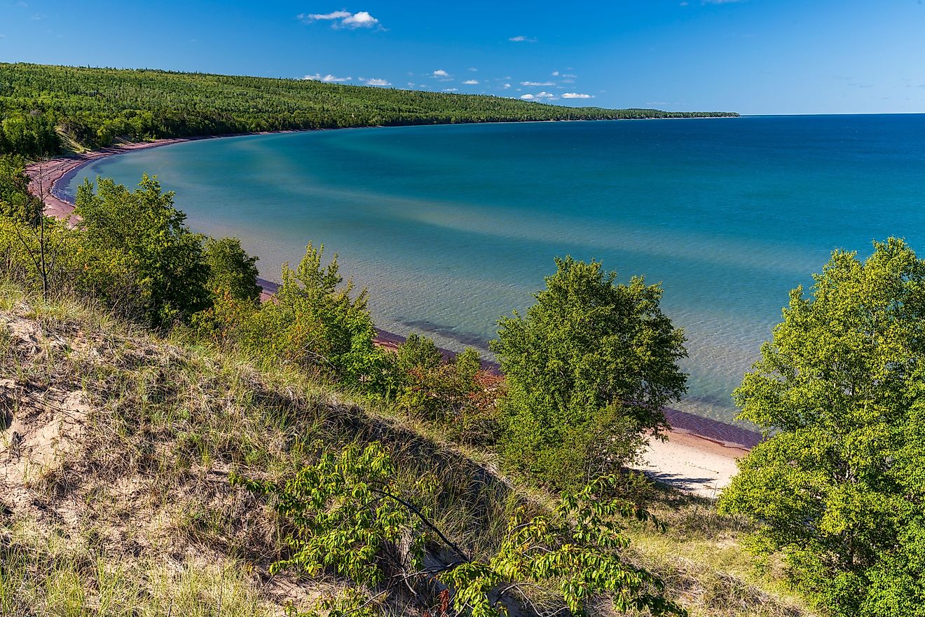
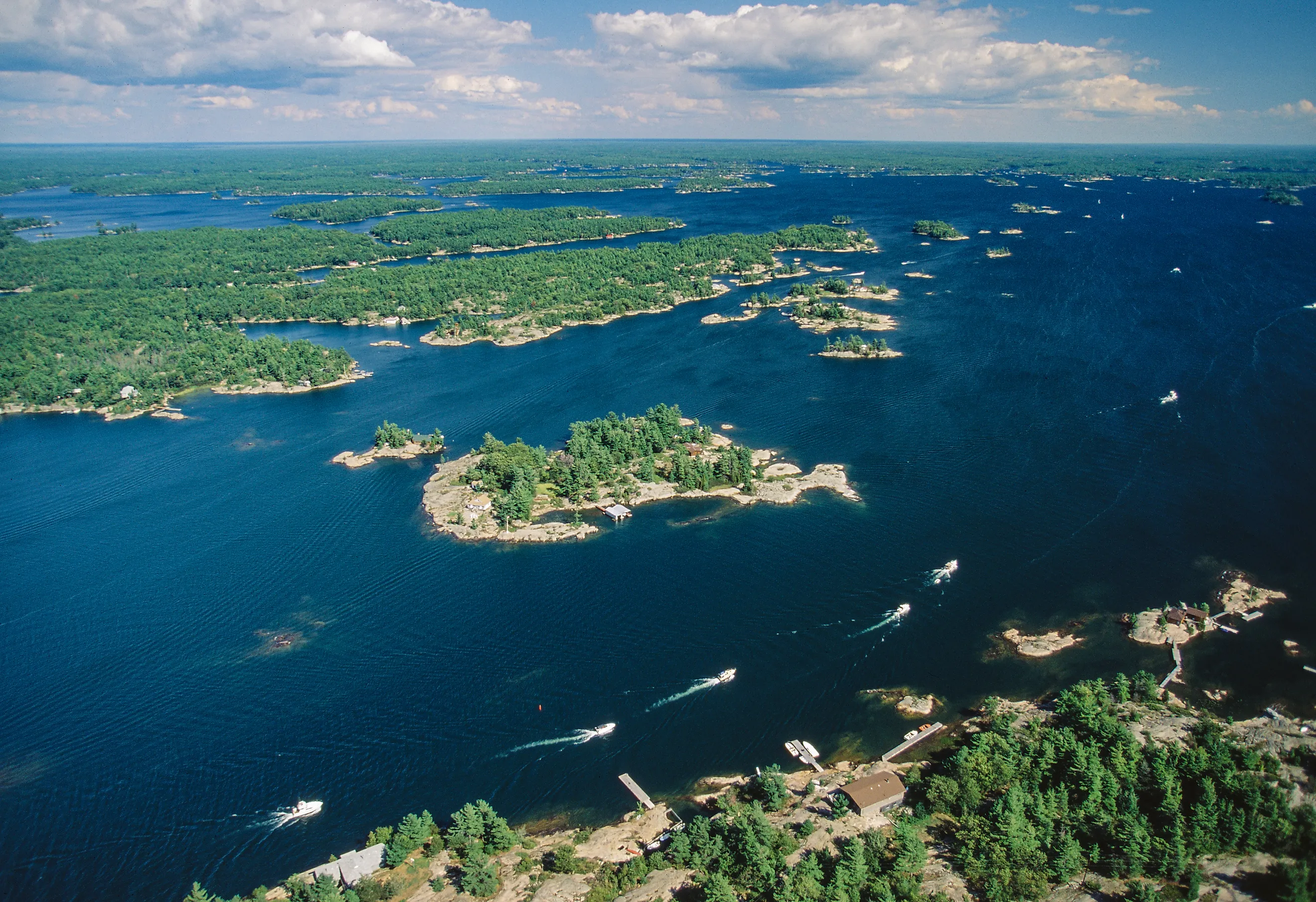
3. Whitefish Bay, Lake Superior - 1,200 mi2

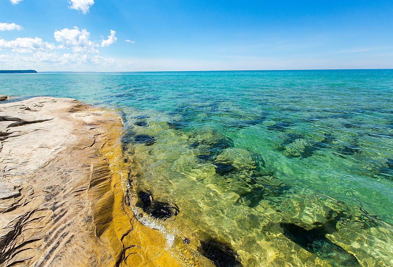
Whitefish Bay forms part of the eastern end of Lake Superior between Michigan and Ontario. It extends roughly 30 miles (48 km) from points near the St. Marys River entrance toward the open lake, and it covers a surface area of about 1,200 square miles (3,100 km²). Its broad waters are traversed by commercial shipping bound for the Soo Locks and other Lake Superior ports, and the shoreline is noted for its rugged geology and natural scenery, particularly on the Canadian side.
4. Saginaw Bay, Lake Huron - 1,143 mi2

Saginaw Bay curves inward from Michigan's eastern shoreline to form a large inlet off Lake Huron. It stretches from its mouth near the "Thumb of Michigan" inland to the Saginaw River at the head of the bay and has a surface area of 1,143 square miles (2,960 km²). The width of Saginaw Bay ranges from about 13 to 26 miles (21 to 42 km) across its span. Commercial fishing and summer recreation are popular along its shores, and the approach toward Bay City marks an important navigational corridor on Lake Huron's southern coast.
5. Thunder Bay, Lake Superior - 520 mi2

With a surface area of 520 square miles (1,350 km²), Thunder Bay is a significant inlet on the northwest shore of Lake Superior in Ontario, and a major geographic feature of the coastline. The bay's sheltered waters have long supported the port city of Thunder Bay and acted as a key stop for vessels navigating between Lake Superior and the lower Great Lakes, and the region is a popular destination for tourists with a focus on outdoor recreation.
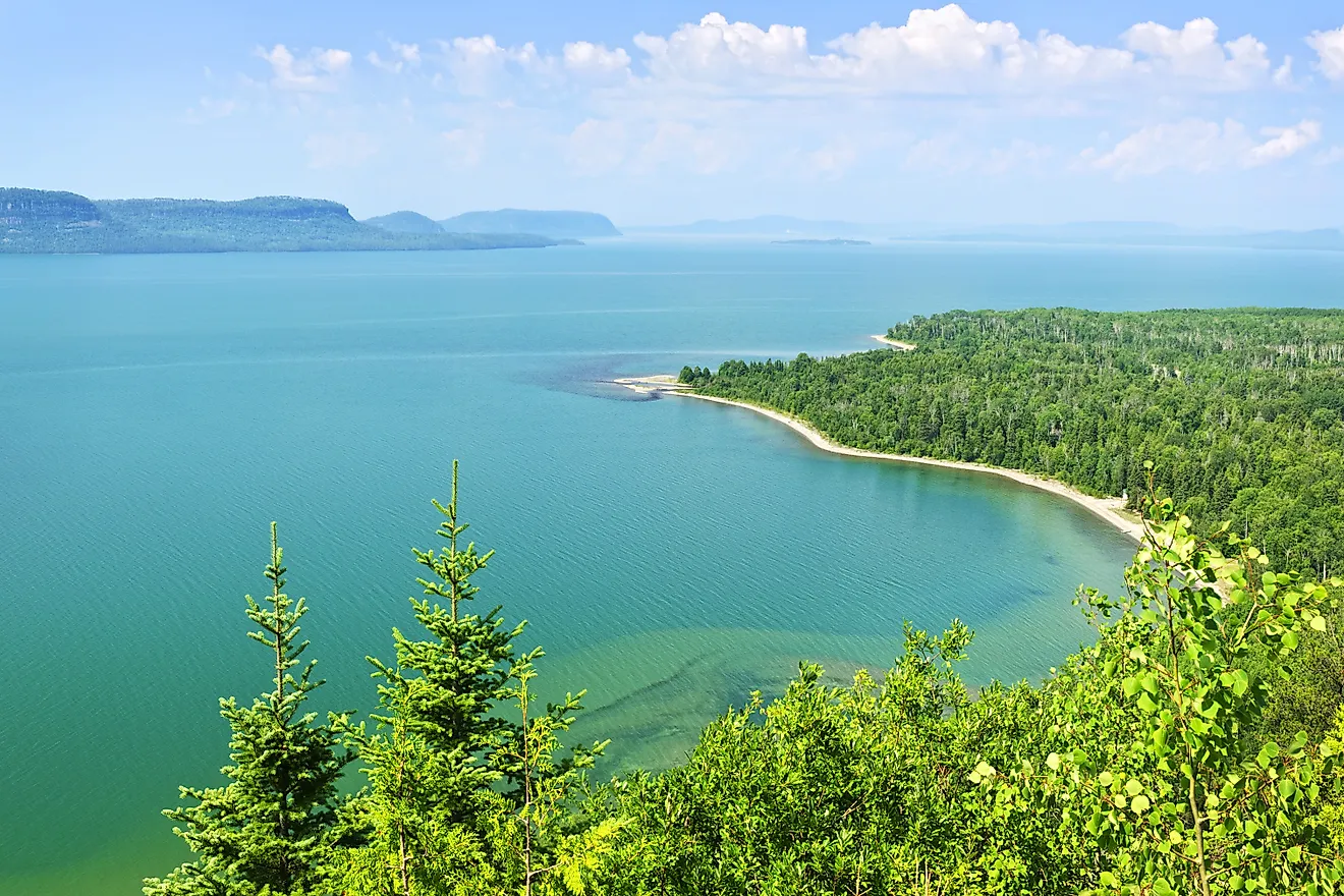
6. Nipigon Bay - 500 mi2

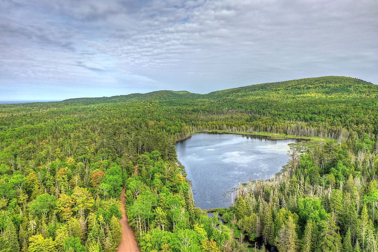
Nipigon Bay bends along the north shore of Lake Superior in Ontario, stretching westward from the open lake toward the mouth of the Nipigon River. The bay covers roughly 500 square miles (1,300 km²), putting it slightly smaller than its neighbor Thunder Bay. It forms the outlet for the Nipigon River system, which drains Lake Nipigon and a vast northern watershed before entering Lake Superior. Communities such as Red Rock and Nipigon sit along its shores, and the bay's sheltered waters, forested coastline, and nearby islands give it a landscape typical of Lake Superior's rugged northern coast.
7. Grand Traverse Bay, Lake Michigan - 295 mi2

Grand Traverse Bay lies along the northeastern shore of Lake Michigan in northern Michigan. Its surface area measures around 295 square miles (760 km²), and the bay is divided into East and West Arms by the Old Mission Peninsula, which extends into the lake and shapes the coastal landscape. Traverse City sits at the base of the bay and serves as a regional hub for tourism, boating, and freshwater recreation.
8. Black Bay - 230 mi2

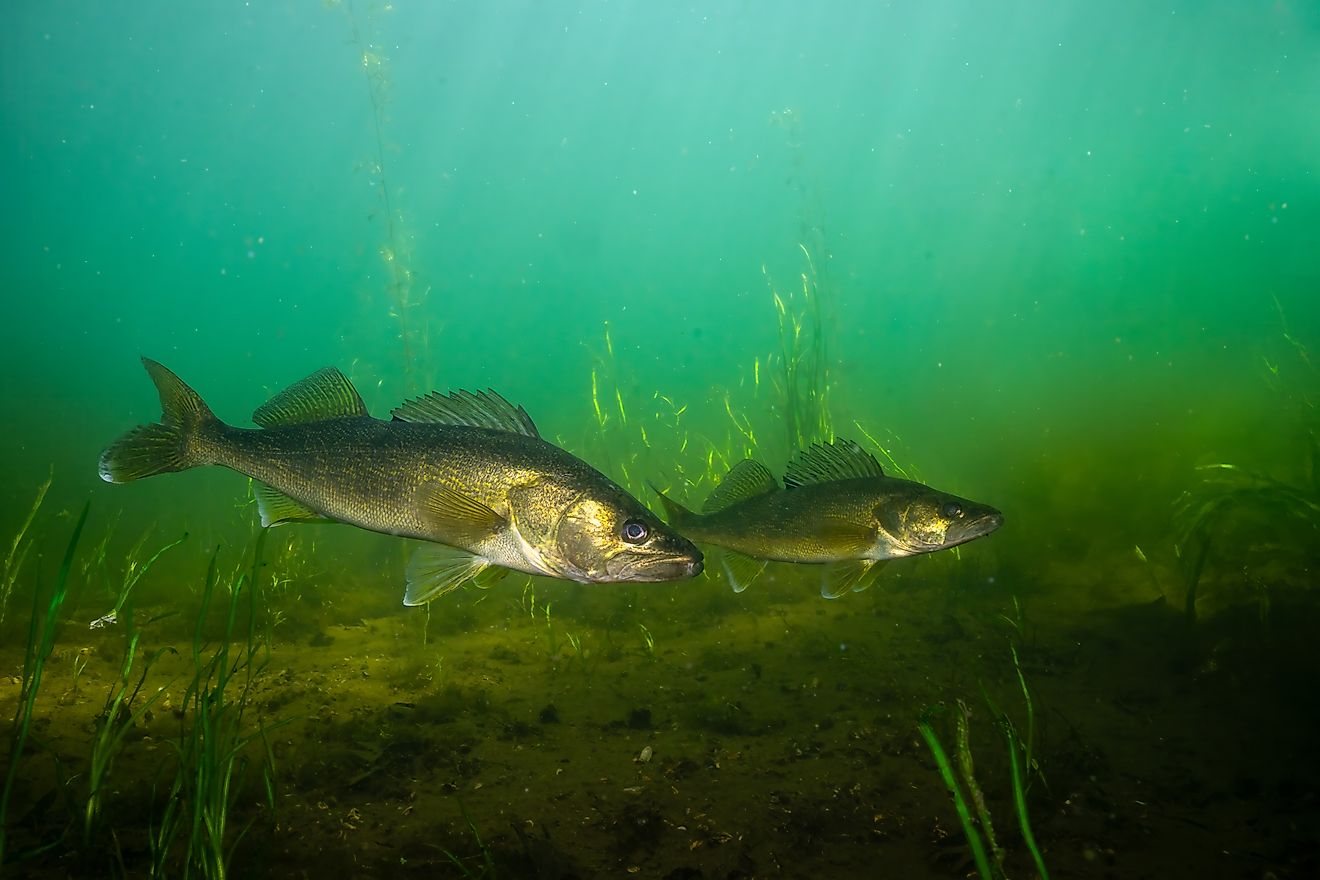
Black Bay is on the north shore of Lake Superior in Ontario, just east of the city of Thunder Bay. The bay is roughly 230 square miles (600 km²) in size and is partially enclosed by the Black Bay Peninsula, which separates it from neighboring Nipigon Bay. Several rivers, including the Black Sturgeon River, flow into it, supporting important fish habitat and wetlands along its shoreline. Much of the surrounding coastline remains lightly developed, giving Black Bay a character typical of Lake Superior's northern shore, with forested landscapes, scattered islands, and broad open waters extending toward the lake.
9. Keweenaw Bay, Lake Superior - 230 mi2

Keweenaw Bay indents the southern shore of Lake Superior near Michigan's Upper Peninsula. It measures about 22 miles (35 km) from its mouth inland and is approximately 12 miles (19 km) wide at the opening, with an average surface area of about 230 square miles (600 km²). While it is relatively small by comparison, Keweenaw Bay is a distinct coastal feature with a long history of human settlement and water access for Indigenous communities and early explorers.
10. Bay of Quinte, Lake Ontario - 100 mi2

The Bay of Quinte is a long, narrow inlet on the northern shore of Lake Ontario in southeastern Ontario. It extends from its entrance near Amherst Island inland to the narrow corridor leading toward the Murray Canal, with a surface area just shy of 100 square miles (254 km²). Although narrower than some Great Lakes bays, the Bay of Quinte's considerable length distinguishes it among Lake Ontario's coastal indentations. Its shoreline is dotted with fishing communities and marinas, and the bay is known for its rich aquatic habitat and recreational boating.
A Coastline Defined by Bays and Inlets
From the wide reach of Georgian Bay to the narrower arms of Keweenaw Bay and Whitefish Bay, the shorelines of the Great Lakes are shaped as much by their bays as by the lakes themselves, and they reveal how deeply glacial forces carved into North America's freshwater basins thousands of years ago. Today, those same bays continue to influence settlement patterns, shipping routes, recreation, and regional identity along the US/Canada border. While the open waters of the Great Lakes often capture attention for their size, it is the more sheltered and geographically distinct bays that give much of the coastline its character.