The Lakes That Sit Below Sea Level
Essentially giant collectors of water, most lakes are associated with low-lying landscapes. But a small number occupy basins that go even further, sitting below the level of the ocean. These unusual bodies of water form in places often shaped by tectonic activity, ancient seas, and extreme evaporation, creating sometimes surreal environments unlike typical freshwater lakes.
The destinations we will be covering showcase a number of powerful geological forces. Some hold hypersaline waters in desert depressions, while others hide beneath Antarctic ice, and each has developed unique conditions that influence its chemistry, wildlife, human settlements, and surrounding landscapes. Together they offer a fascinating look at this aspect of our planet's hydrology.
Dead Sea - Jordan and Israel

Names can sometimes be deceiving, as this body of water is in fact a lake, not a sea. Regardless, at more than 1,400 ft (430 m) below sea level, the Dead Sea holds the distinction of being Earth's lowest exposed point on land. Covering about 234 mi² (605 km²), this hypersaline lake contains nearly ten times more salt than the ocean, creating conditions where fish and aquatic plants simply cannot survive. Instead, salt-tolerant microorganisms thrive in its mineral-rich waters.
This extreme salinity here makes swimming a unique experience, too, as people float effortlessly on the surface. The waters of the Dead Sea have also long been valued for their mineral deposits and therapeutic mud, attracting relaxation-seeking visitors for thousands of years.
It is fed primarily by the Jordan River, but decades of reduced inflow and mineral extraction have caused its water level to decline dramatically. That ongoing drop has also triggered thousands of sinkholes along the shoreline as underground salt layers dissolve. But even with these environmental challenges, the Dead Sea remains among the world's most remarkable natural features with its unusual chemical properties and record-setting low elevation.
Sea of Galilee - Israel

The Sea of Galilee, which also goes by the names of Lake Kinneret, Lake Tiberias, and/or Genezareth Lake, sits between 705 and 686 feet (215 and 209 m) below sea level, making it the world's lowest freshwater lake. Covering approximately 64 mi² (166 km²), it actually serves as Israel's largest natural freshwater reservoir as well, playing a vital role in the country's overall water supply.
The lake is fed mainly by the Jordan River, which enters from the north and exits at its southern end before continuing toward the Dead Sea. Its seasonal water level fluctuations can be explained by varying amounts of rainfall across the year and various water management practices, but regardless, the Sea of Galilee continues to be among the Middle East's most significant natural landmarks.
Beyond its hydrological importance, it is closely associated with numerous events described in the New Testament, including several involving Jesus' ministry, making it a major destination for Christian pilgrims from around the world. A popular spot for water-based recreation, the "sea" also boasts a number of sizable commercial fishing operations, with resident species such as St. Peter's fish (Nile tilapia) remaining an important part of the local economy.
Lake Vostok - Antarctica
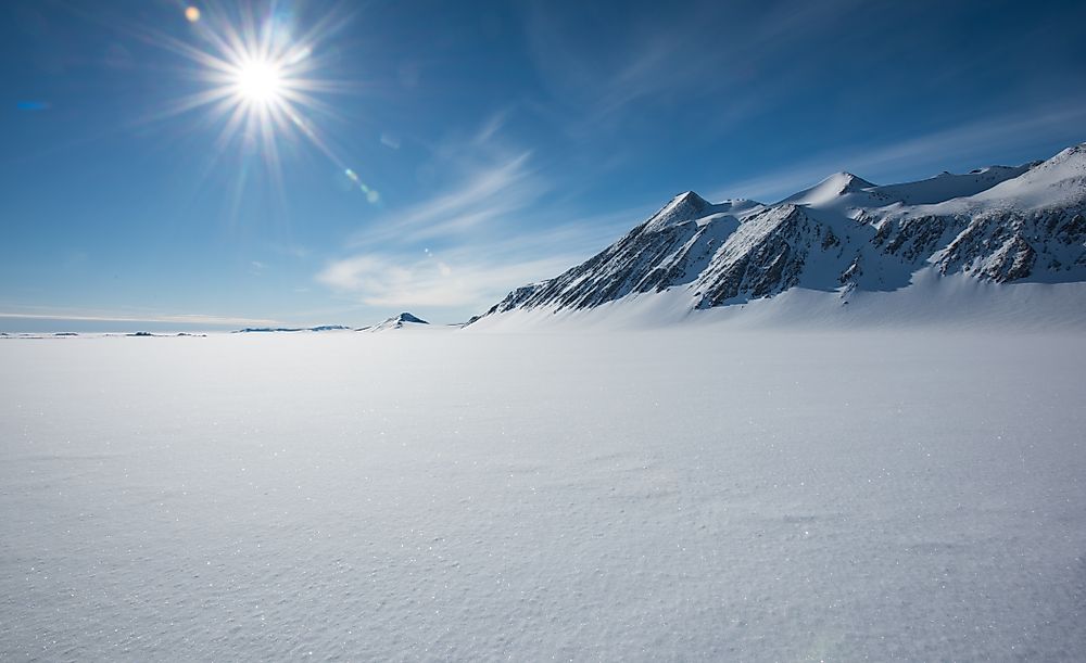
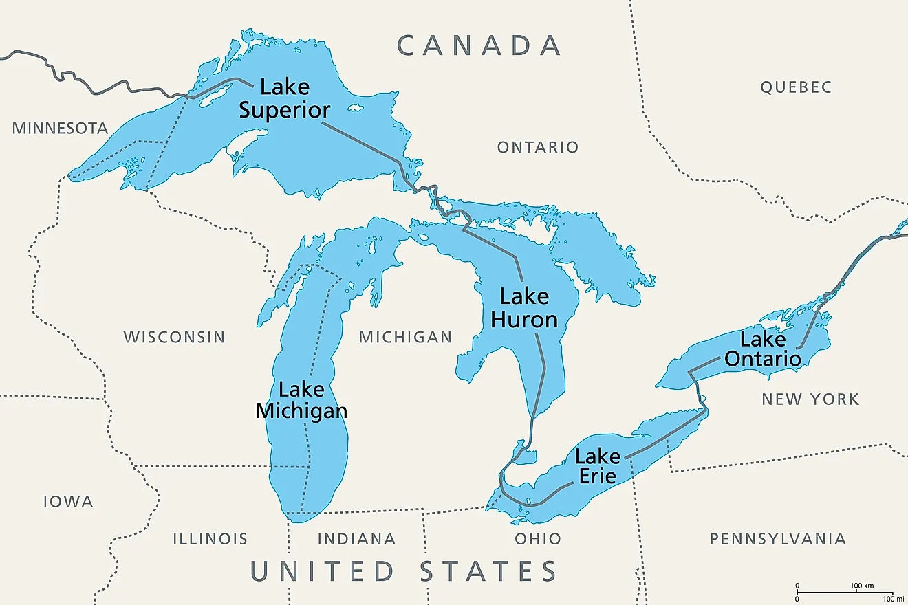
Hidden beneath roughly 2.5 mi (4 km) of Antarctic ice, Lake Vostok is the world's largest known subglacial lake, lying approximately 1,600 ft (488 m) below sea level. Although completely buried beneath the East Antarctic Ice Sheet, it covers over 4,830 mi² (12,500 km²), making it comparable in size to Lake Ontario. But even with its deeply hidden location, it continues to provide valuable clues about Antarctica's hidden hydrology, ancient climates, and the limits of life in extreme environments.
Scientists believe the lake has remained isolated from the atmosphere for hundreds of thousands, and possibly millions, of years, raising the possibility that it contains unique microbial life specially adapted to perpetual darkness, immense pressure, and near-freezing conditions. Lake Vostok remains liquid because geothermal heat from Earth's interior and the tremendous pressure exerted by the overlying ice prevent it from freezing solid.
Instead of simply being able to travel by boat, research has relied on radar surveys, ice core samples, and carefully controlled drilling. This also helps minimize contamination of its exceptionally pristine environment.
Lake Assal - Djibouti

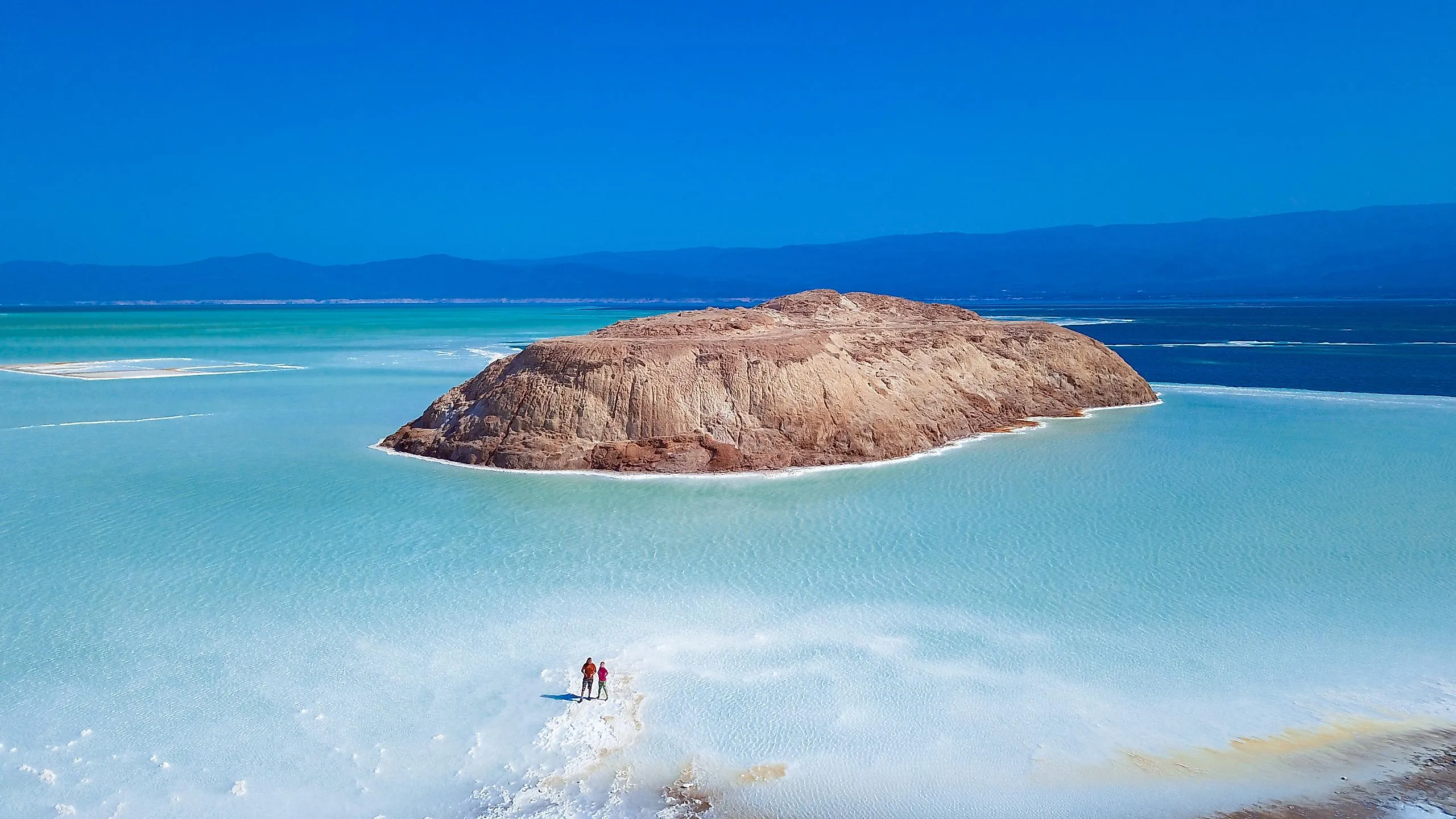
Lake Assal occupies one of the most extreme landscapes in Africa, with its shoreline reaching about 509 ft (155 m) below sea level. With a surface area of 21 mi² (54 km²), it is the continent's lowest point and easily another one of the saltiest lakes on Earth, having salinity levels even exceeding those of the Dead Sea in some areas.
Found within the Afar Depression, this is a very geologically active region where three tectonic plates are slowly pulling apart. Furthermore, intense heat, minimal rainfall, and exceptionally high evaporation rates concentrate dissolved salts, leaving broad white salt flats around the water's edge. And even with the harsh conditions, Lake Assal still somehow supports specialized microorganisms adapted to its hypersaline environment.
In terms of human history, for centuries, local Afar communities have harvested salt from the lake, often transporting it across the region by camel caravan before modern roads were established.
Salton Sea - California

The Salton Sea sits about 236 ft (72 m) below sea level in California's Imperial and Coachella valleys, occupying a basin that was once part of the Gulf of California. Spanning around 343 mi² (888 km²), it is a relatively new lake, being formed in 1905 when the Colorado River breached an irrigation canal and flooded a depression known as the "Salton Sink" for more than a year.
Today, the lake has no outlet, causing dissolved minerals to accumulate as water evaporates. With that, its salinity has steadily increased over the decades, threatening fish populations that once supported a major recreational fishing industry. Exposed areas of the lakebed also release dust containing elevated concentrations of contaminants, creating air-quality concerns for nearby communities. Ongoing restoration projects have focused on habitat protection and dust reduction as the lake continues to shrink.
Still, the Salton Sea remains an important ecological hotbed, acting as a stopover for migratory birds along the Pacific Flyway and attracting species such as eared grebes, American white pelicans, and various waterfowl.
Lake Enriquillo - Dominican Republic

Lake Enriquillo is the largest lake in the Caribbean, sitting about 144 ft (44 m) below sea level in a tectonic basin between the Sierra de Neiba and Sierra de Bahoruco mountain ranges. Covering around 145 mi² (375 km²), like many bodies of water on this list, its size changes significantly depending on rainfall, evaporation, and freshwater inflow from surrounding streams.
Also like other below-sea-level lakes, Enriquillo is hypersaline because it has no true outlet, allowing dissolved minerals to concentrate over time in the intense heat of the Dominican Republic's southwestern interior. On the other hand, rising water levels during the 2000s submerged farmland and roads around the shoreline before later declines further reshaped the region.
A surprising range of wildlife is present here, including American crocodiles, rhinoceros iguanas, large colonies of flamingos, and other tropical climate-suited flora and fauna. Because of that, it is the centerpiece of Lago Enriquillo National Park, a protected area recognized for its rare combination of wetlands, dry forests, and island habitats as well as its remarkable elevation.
Caspian Sea - Kazakhstan, Russia, Turkmenistan, Iran, and Azerbaijan

The Caspian Sea is the largest inland body of water on Earth, encompassing an immense 143,200 mi² (371,000 km²) and lying about 90 ft (27 m) below sea level. It is so vast that it is classified as a sea despite, again, being completely enclosed by land (technically making it a lake, but as you can tell, the two terms are often interchangeable, especially with particularly big lakes).
Its isolated basin formed over millions of years as the ancient Paratethys Sea became separated from the world's oceans. These days, the Caspian contains quite a unique ecosystem to match, housing species such as the endangered beluga sturgeon, a fish valued for producing some of the world's most expensive caviar. Its waters also host Caspian seals, the only aquatic mammal native to the region. The surrounding basin contains major oil and natural gas reserves, too, making the Caspian Sea important for both ecology and industry.
Because it has no natural connection to the ocean, its water level heavily depends on the balance between river inflow (especially from the Volga River), precipitation, and evaporation. Increasingly rapid fluctuations in water levels have reshaped local coastlines, affected ports, and exposed more and more portions of its bed in recent decades.
Kati Thanda-Lake Eyre - Australia

This is Australia's largest lake, at 3,745 mi² (9,700 km²) in size when completely flooded. In terms of elevation, it rests at about 49 ft (15 m) below sea level, and in the arid interior of South Australia, it is usually just a vast salt flat where water evaporates faster than it accumulates. In fact, Lake Eyre's salt crust can reach several feet thick in places, created by minerals left behind through repeated cycles of flooding and evaporation.
It also forms the lowest point in the Australian continent, sitting within the Lake Eyre Basin, a massive drainage system where rivers from Queensland and the Northern Territory occasionally carry water hundreds of miles toward the basin. Major floods are rare, but when they occur, the transformation is dramatic, with shallow waters usually attracting pelicans, ducks, and other waterbirds that travel long distances to breed here.
Aboriginal communities have longstanding connections to this highly remote area, with the site remaining significant in the traditions of the Arabana people. Moreover, it acts as a truly off-the-beaten-path natural attraction inside the Kati Thanda-Lake Eyre National Park.
See How These Special Lakes Fit into the Current Natural Landscape
These extremely low-lying lakes represent some of the planet's most unusual environments, where ancient geological changes and extreme natural conditions continue to this day. Whether filled with salt, freshwater, or hidden beneath ice, these basins reveal how some bodies of water can defy expectations, showcasing their fragile ecosystems and changing conditions. Above all, they provide valuable insight into Earth's history and ongoing environmental processes, as well as offering outdoor photographers an opportunity for a highly memorable picture or two.