How Much Of The United States Is Covered By Water?
Ask most people how much of the United States is water and the guesses run high. The country has five inland seas along its northern edge, the second-longest river system on the continent, three million lakes in Alaska alone, and thousands of miles of tidal coast. Add all of it together and water still comes to only about 7 percent of the national territory. That figure holds a lot inside it, though, and where the water sits says as much about the country as how much of it there is. Here is how that 7 percent breaks down.
Water Covers About Seven Percent of the Country

The United States covers 3,809,525 square miles in total, and of that, 277,209 square miles are water. That works out to roughly 7 percent, a share small enough to surprise people who picture the country as a place criss-crossed by lakes and rivers. The Census Bureau tracks the figure state by state, and it counts perennial water: inland lakes, reservoirs, ponds, and the wider rivers and streams, along with coastal, territorial-sea, and Great Lakes waters.
The 7 percent is a national average, and averages flatten a lot of variation. A handful of states carry most of the country's surface water, while large stretches of the interior and the arid West hold almost none. The number also shifts depending on what gets measured. Perennial water counts toward the water total, but intermittent streams, glaciers, and marshland are folded into land area instead, which keeps a state like Alaska from counting even higher than it already does.
The Great Lakes Are the Largest Single Share of Surface Water

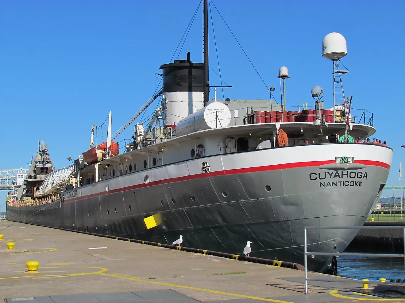
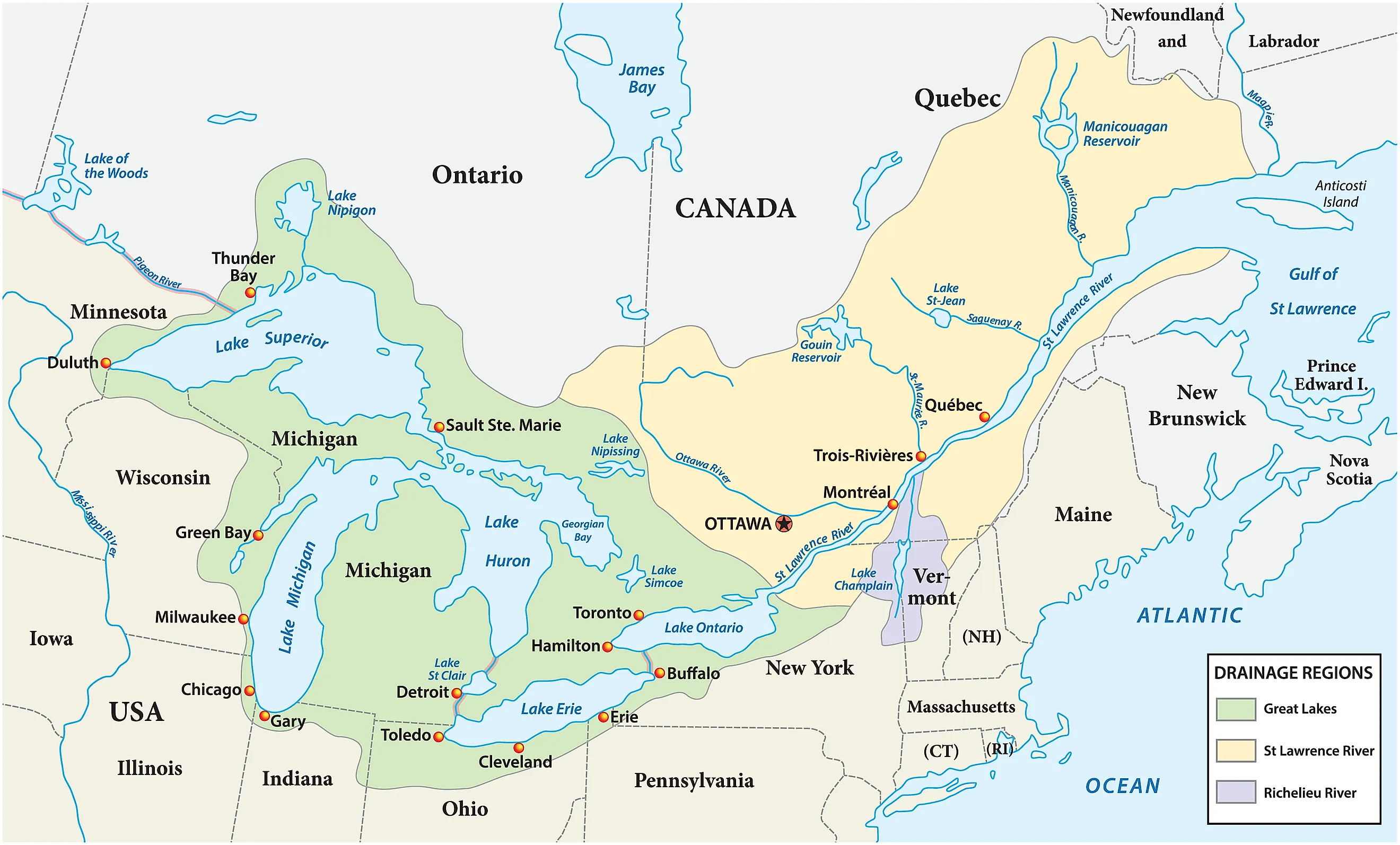
The five Great Lakes, strung along the border with Canada, cover roughly 94,000 square miles between them. That is more freshwater surface than any other feature in the country, which puts the Upper Midwest ahead of every other region in the national water total. Lakes Superior, Michigan, Huron, Erie, and Ontario together make up the largest expanse of fresh surface water on Earth.
Lake Superior is the largest of the group. At about 31,700 square miles it is the largest freshwater lake in the world by surface area, roughly the size of South Carolina. Lake Michigan stands out for a different reason: it is the only one of the five that lies completely inside the United States, which makes it the largest lake entirely within the country. The other four are shared with Canada. Beyond their scale, the lakes are a route for commercial shipping, a drinking-water source for tens of millions of people, and a base for fisheries and recreation across eight states.
Alaska Has More Water Than Any Other State

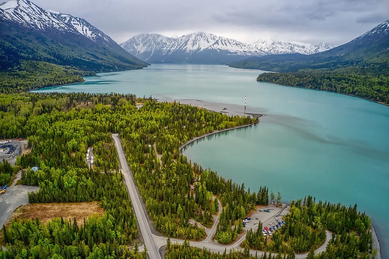
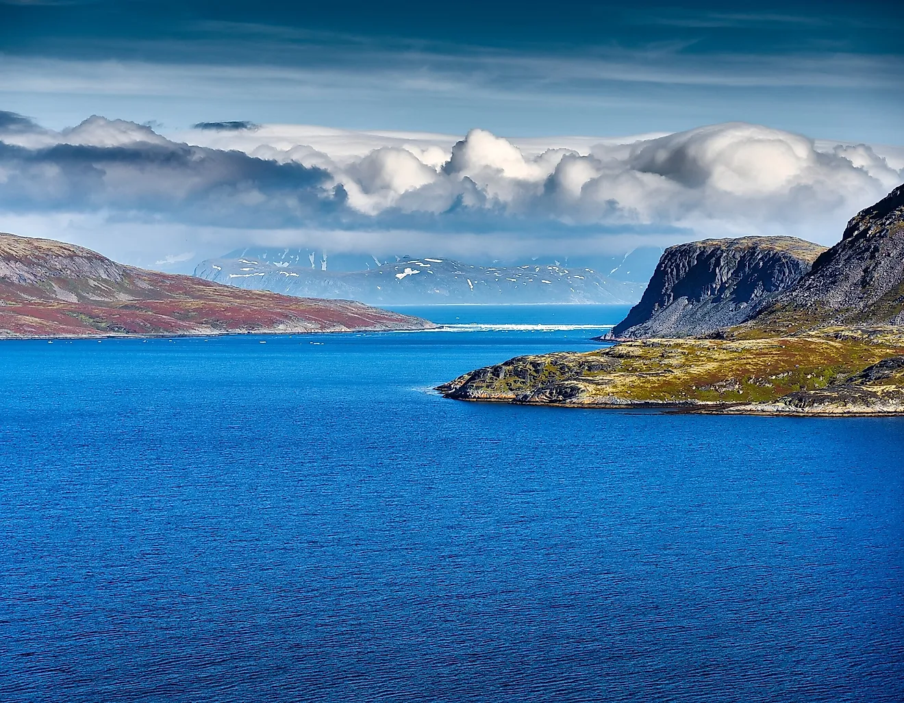
Alaska accounts for 94,743 square miles of water, the largest total of any state and roughly the same as all five Great Lakes combined. Michigan, in second place, has about 40,175 square miles, less than half as much, a gap that shows just how far ahead the state ranks. Alaska has more than three million lakes larger than five acres, along with some 12,000 rivers and countless streams, wetlands, and coastal inlets.
Ice belongs in the picture too. Around 100,000 glaciers cover the state, more active glacial ice than the rest of the inhabited world holds, feeding nearly every major river in Alaska. The largest of those rivers, the Yukon, runs close to 2,000 miles and ranks as the third-longest river in the country, behind only the Missouri and the Mississippi. Alaska is also the reason the national water share depends on the fine print: measure only the contiguous 48 states and the percentage drops, because so much of the country's water lies that far north.
Michigan Is the Most Water-Covered State by Percentage
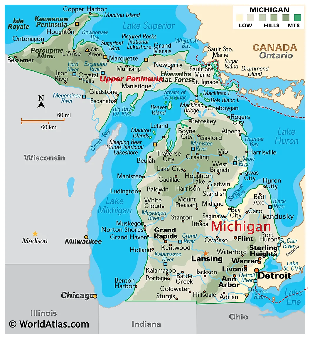
Raw square miles favor the biggest states, so a different measure tells a sharper story: what share of a state is water. By that count Michigan ranks first in the nation, with about 41.5 percent of its area covered. Four of the five Great Lakes reach its shores, and it has the longest freshwater coastline of any political unit in the world. Inland, more than 11,000 additional lakes lie scattered across the state, so no point in Michigan is more than a few miles from water.
Hawaii comes next at about 41.2 percent, for the obvious reason that it is a chain of islands ringed by ocean, though it has few natural lakes of its own. The contrast between Michigan, defined by freshwater, and Hawaii, defined by the Pacific, is a reminder that water coverage can mean very different landscapes depending on the state.
The Country's Water Is Spread Very Unevenly

The national 7 percent tells you almost nothing about any particular place. Florida takes in wetlands, lakes, rivers, and coastal shallows, so water makes up a large slice of its area. The Great Lakes states have enormous freshwater reserves. Meanwhile several states in the interior and the Southwest barely register: New Mexico, Nevada, West Virginia, and Wyoming each have less than 1 percent of their land under water, and New Mexico has fewer than 300 square miles of it in a state of more than 120,000.
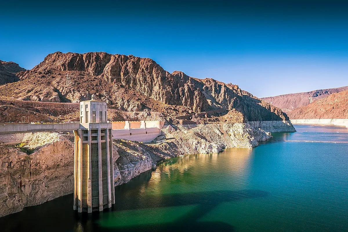
That unevenness runs through daily life. In the arid West, farmers and city planners depend on a few managed rivers and reservoirs to decide where crops go in and where towns can grow, so a small water area carries outsized weight. In the Great Lakes and the Southeast, the opposite is true, and communities there build their economies around shipping, fishing, and tourism. The same 7 percent underlies drinking water, transport routes, wildlife habitat, and irrigation, but the balance differs sharply by region.
Big Rivers Carry Water Far Beyond Their Own Surface

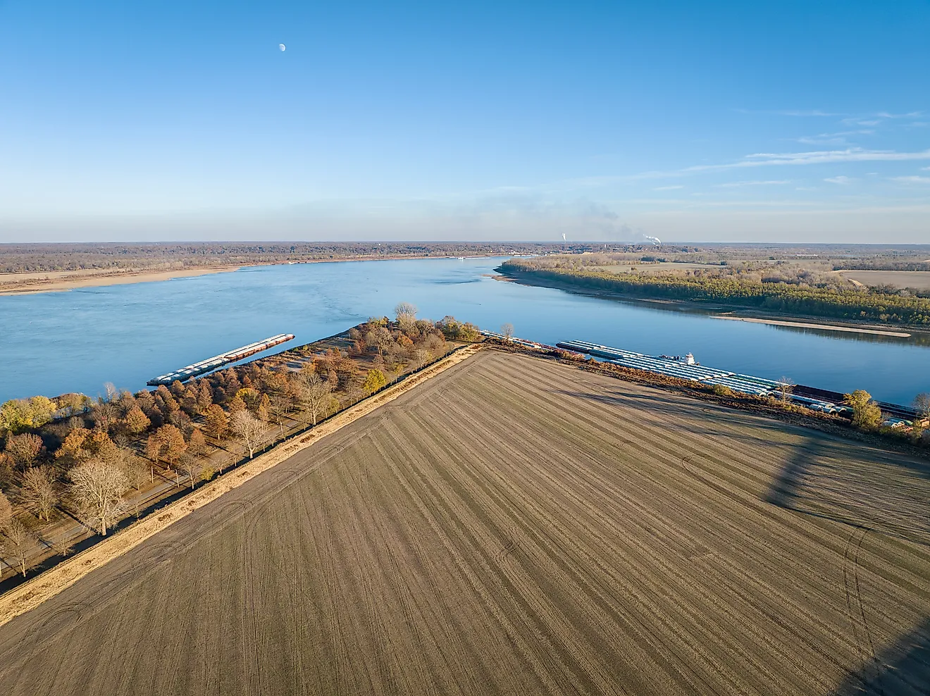
Surface area undercounts what rivers actually do. The Mississippi runs about 2,320 miles, beginning at Lake Itasca in Minnesota and ending at the Gulf of Mexico, and together with its main tributaries, the Missouri and the Ohio, it drains water out of 31 states. The Missouri, at roughly 2,540 miles, is the longest river in the country, and the Colorado carries much of the water that makes the Southwest livable. None of these takes up a large share of any state's water total, yet each moves and stores water across huge distances.
This is why the 7 percent figure, taken alone, understates the role water plays. A narrow river occupies little area on a map but can supply cities, float barges, water crops, and carry migrating fish across half a continent. Counted by surface, American water is a modest fraction of the whole. Counted by what it does, it reaches into nearly every part of the country.
A Small Share With Outsized Reach
Seven percent is a smaller number than the country's reputation for lakes and rivers would suggest, but it concentrates in ways that matter. The Great Lakes are the largest single share, Alaska ranks first among states by total area, and Michigan ranks first by percentage, while much of the interior stays dry. Set the map of where water sits beside the map of where it is scarce and the two together explain a great deal about how the United States farms, ships, settles, and grows.