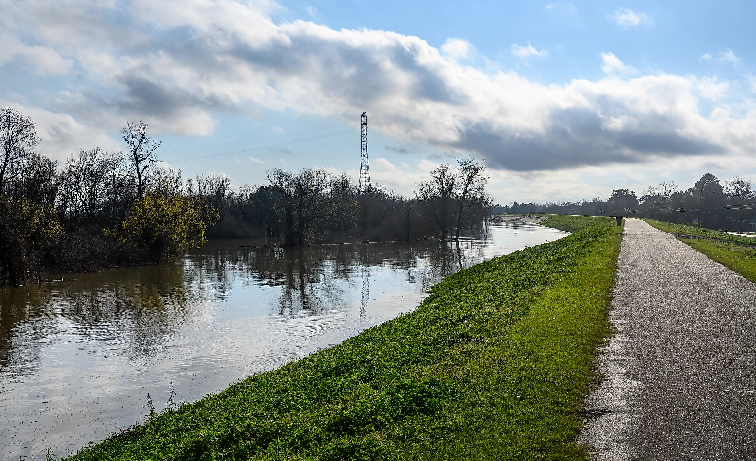
The American Levees Protecting The Most People
West of Coral Springs, a 17-mile levee keeps the water of a storage area called Water Conservation Area 2 from spreading east. The National Levee Database puts 3,103,059 people behind that one system, more than any other levee system in America. Across the country, about 22 million people live behind levees. Fourteen individual systems clear 200,000 people, including three adjoining sections of South Florida's East Coast Protective Levee. Six more follow the lower Mississippi through Louisiana and Arkansas. A desert berm in Nevada makes the cut as well.
East Coast Protective Levees, Florida

The levees protecting the most people in America hold back Everglades water, not a river. The East Coast Protective Levee runs for more than 100 miles between Homestead and Lake Okeechobee. The US Army Corps of Engineers built its sections during the mid-20th century to separate canals, wetlands, and water-storage areas from the rapidly developing communities to the east.
The National Levee Database treats those sections as separate systems, and three of them top the national ranking. The L-36 and L-35A system in Broward and Palm Beach counties counts 3,103,059 people. L-35 and L-37 near Weston counts 2,293,365. Farther north, the L-40 system west of Wellington counts 915,725.
L-40 forms part of the eastern edge of the Arthur R. Marshall Loxahatchee National Wildlife Refuge, a 145,188-acre stretch of Everglades habitat. About 36 miles of the refuge's perimeter levee are open to bicycles, including stretches north and south of the headquarters on Lee Road in Boynton Beach.
The transformation east of the barrier has been enormous. When the Corps completed the L-36 and L-35A system in 1951, farming and ranching dominated much of the land nearby. Residential and commercial development later spread across the protected side.
New Orleans East Bank, Louisiana

Along Lake Pontchartrain's south shore, a stepped concrete seawall dates to the 1930 push for a permanent lakefront levee. The Orleans Levee Board broke ground on the 5.5-mile seawall in 1930 and reclaimed 2,000 acres from the lake behind it. The Lakefront Management Authority now maintains Lakeshore Park along Lakeshore Drive.
The New Orleans East Bank system counts 849,393 people across Orleans, Jefferson, St. Bernard, and St. Charles parishes. Its roughly 179 miles combine Mississippi River levees with the Hurricane and Storm Damage Risk Reduction System. The hurricane system reached its 100-year risk-reduction design level in 2011.
The defenses also face Lake Borgne. The Inner Harbor Navigation Canal Lake Borgne Surge Barrier stretches 1.8 miles and stands 26 feet above sea level. Completed in 2013 for about $1.3 billion, it became the largest design-build civil works project in Corps history and picked up the nickname Great Wall of Louisiana.
Mississippi River East Bank, Louisiana

The Bonnet Carré Spillway marks the downstream end of the next system. Completed in 1931 in St. Charles Parish, it gives the Mississippi somewhere else to go during dangerous high water. The Corps can open its 350 bays and send river water 5.7 miles across the floodway into Lake Pontchartrain. The first opening came during the flood of 1937.
Upriver from the spillway, the Mississippi River East Bank system runs roughly 109 miles toward Baton Rouge. It counts 429,480 people, and the database files the system under Sorrento in Ascension Parish. Its levees average about 22 feet high.
In Baton Rouge, the top of the levee carries the Mississippi River Levee Trail, a paved route running about 13 miles from downtown past Louisiana State University. Its broad surface gives cyclists and walkers a close look at the river defenses that sit between the Mississippi and the city.
American River, California

A levee system more than 36 miles long guards Sacramento, where the American River meets the Sacramento River. The City of Sacramento system along the American River's left bank counts 384,056 people in Sacramento County. The National Levee Database notes that the protected area includes the California State Capitol and the historic district of Old Sacramento.
That district keeps the city's oldest answer to flooding. Sacramento raised sections of its streets more than 20 feet above their original level after destructive 19th-century floods, a project that took years to complete. California State Parks describes Sacramento as the only California city to undertake a street-raising project on that scale. Old Sacramento's underground spaces still preserve traces of the former ground level.
Upper Las Vegas Wash Interception Berm, Nevada

No permanent river feeds the shortest system among the 14 above 200,000 people. The Upper Las Vegas Wash Interception Berm, also called the Moccasin Diversion Dike, is an embankment about 1.7 miles long and 8 to 10 feet high. Completed in 1993 in Clark County, it intercepts storm runoff coming off the surrounding high ground and routes the water east toward the Upper Las Vegas Detention Basin.
The National Levee Database counts more than 335,000 people behind it. The system's narrative summary carries an older estimate of roughly 234,000, while the newer consequence data put the population substantially higher.
The wash beyond the berm preserves a much older story. Residents campaigning to protect fossil-rich land helped bring about Tule Springs Fossil Beds National Monument, created on December 19, 2014. Its 22,650 acres preserve Ice Age deposits on the northern edge of the Las Vegas Valley.
Lower Rio Grande Levee System, Texas

In Cameron County, about 130 miles of levee line the Rio Grande. The Lower Rio Grande Levee System counts 288,260 people. The International Boundary and Water Commission operates the flood-control network.
A major flood in 1932 exposed the limits of the existing defenses along the international river. Construction on a broader network of river and floodway levees began in December 1933 and continued into the following decades. Today the commission maintains about 270 miles of US flood-control levees along the Rio Grande, its interior floodways, and the Arroyo Colorado.
Old river channels still hold water across the southern end of the valley. Locals call them resacas, former courses of the Rio Grande left behind as the river shifted. At Resaca de la Palma State Park in Brownsville, trails and observation decks follow one of these long, narrow wetlands.
Los Angeles River, California

Two levee segments totaling about 30 miles follow the Los Angeles River and Rio Hondo through Los Angeles County. The Los Angeles River/Rio Hondo Diversion 1 system, filed under Paramount, counts 272,000 people. Its levees average 17 feet high and date to 1951.
The larger flood-control project grew out of the destructive floods that repeatedly hit the Los Angeles Basin during the early 20th century. Federal channel work accelerated after the 1930s, and much of the Los Angeles River had been confined within engineered flood-control channels by the 1960s.
The Los Angeles River Trail runs 19.3 miles through communities including South Gate, Paramount, and Long Beach. Near the 105 and 710 interchange, riders can also connect with the Rio Hondo River Trail, following another channel within the same sprawling flood-control landscape.
Mississippi River West Bank Above Old River, Louisiana

A short stretch of levee in Concordia Parish protects far more people than its length suggests. The National Levee Database counts 269,628 people behind the Mississippi River West Bank - Above Old River system, which runs about 17.5 miles along the west bank of the Mississippi near Simmesport.
The system includes the Old River Control Complex, the group of structures that regulates how much water leaves the Mississippi for the Atchafalaya River. The Corps manages the complex to maintain a long-term distribution close to 70% of the combined Mississippi and Red River flow continuing down the Mississippi and about 30% entering the Atchafalaya. The arrangement prevents the Mississippi from abruptly shifting its main course toward the shorter Atchafalaya route to the Gulf.
The Low Sill Structure suffered serious damage during the 1973 flood, prompting emergency work and later construction of the Auxiliary Control Structure. During the 2011 high-water event, the Old River structures remained under close observation as one of the most consequential hydraulic control points in the country.
New Orleans West Bank, Louisiana

In 1827, a ferry service opened between Algiers and the French Quarter. At its peak, six boats worked the crossing, and a ferry still links the two banks today. Algiers lies inside the New Orleans West Bank system, which counts roughly a quarter-million people across Jefferson, St. Charles, Orleans, and Plaquemines parishes.
The system combines Mississippi River levees with the Hurricane and Storm Damage Risk Reduction System. Its 10 segments pass through four parishes and are maintained by five levee districts. Altogether, the defenses contain about 93 miles of levees and 22 miles of floodwalls, for roughly 115 miles of protection.
At Algiers Point, a paved path follows the levee toward neighboring Gretna. The neighborhood itself traces its colonial history to a land grant made to New Orleans founder Jean-Baptiste Le Moyne de Bienville in 1719.
Mississippi River West Bank Below Morganza, Louisiana

The Mississippi River West Bank - Below Morganza system counts 243,744 people behind more than 180 miles of flood defenses. It begins around the Morganza Control Structure and combines Mississippi River levees with the East Atchafalaya Basin Protection Levees, stretching toward Donaldsonville and south along the Morganza Floodway toward Morgan City.
The system does more than follow one riverbank. It helps define the eastern side of the vast Atchafalaya Basin flood-control network and includes floodwalls, floodgates, and navigation locks. During the Mississippi's 2011 high-water season, the levee system experienced water reaching about 92% of its height without overtopping, and the Corps reported no performance problems.
AR-LA Mississippi River Levee, Arkansas and Louisiana

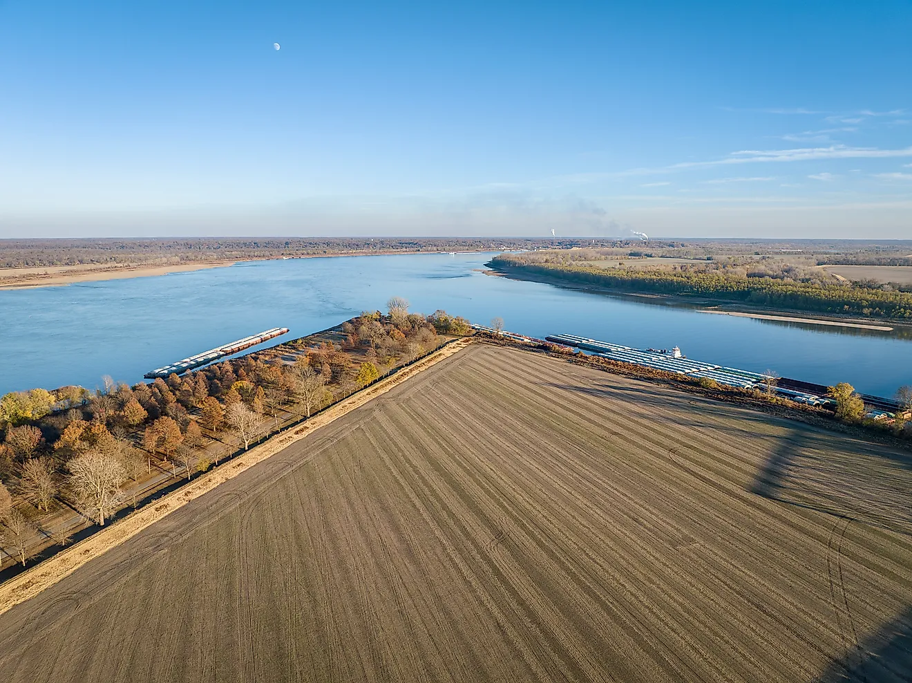
The longest system in the group begins far upstream of the Louisiana levees surrounding New Orleans. The AR-LA MS River system stretches about 360 miles along the Mississippi through Arkansas and Louisiana. National Levee Database consequence data count 227,280 people behind it.
Its scale reflects the lower Mississippi's enormous floodplain. Long reaches protect agricultural land and small communities, but the same connected levee system also helps shield developed areas farther south. Unlike the compact urban barriers around Las Vegas or Sacramento, this is a flood-control line measured in hundreds of miles, following the river across two states.
That reach belongs to the Mississippi River and Tributaries project, the immense network of levees, floodways, channels, and control structures developed after the catastrophic Mississippi flood of 1927. The system is designed to manage floodwater across the lower river as a whole instead of treating each community as an isolated problem.
Louisville Metro Levee System, Kentucky

The January 1937 flood set the benchmark for the defenses that followed in Louisville. The Ohio River crested on January 27, and roughly 175,000 people were driven from their homes. Engineers designed the city's later flood-protection works with several feet of freeboard above that record event.
The Louisville Metro Levee System shelters about 201,000 people in Jefferson and Bullitt counties along the left bank of the Ohio. Its earthen levees and concrete walls extend for almost 26 miles and average 35 feet high. The system also relies on pump stations, gates, and closures to keep river water from entering the protected area.
At Waterfront Park, the Big Four Bridge crosses the Ohio to Jeffersonville, Indiana. Built in the 1890s as a railroad bridge, it reopened to pedestrians and cyclists in 2013 and now gives visitors a very different view of the same river Louisville's flood defenses were built to contain.
The Water On The Other Side

Fourteen levee systems in seven states clear 200,000 people in the National Levee Database. Three are adjoining parts of South Florida's East Coast Protective Levee, while six lie along the lower Mississippi in Arkansas and Louisiana. Their dimensions could hardly be more different. The AR-LA system runs for roughly 360 miles, while the Upper Las Vegas Wash Interception Berm is only about 1.7 miles long. What puts them on the same list is the population occupying the land behind them.