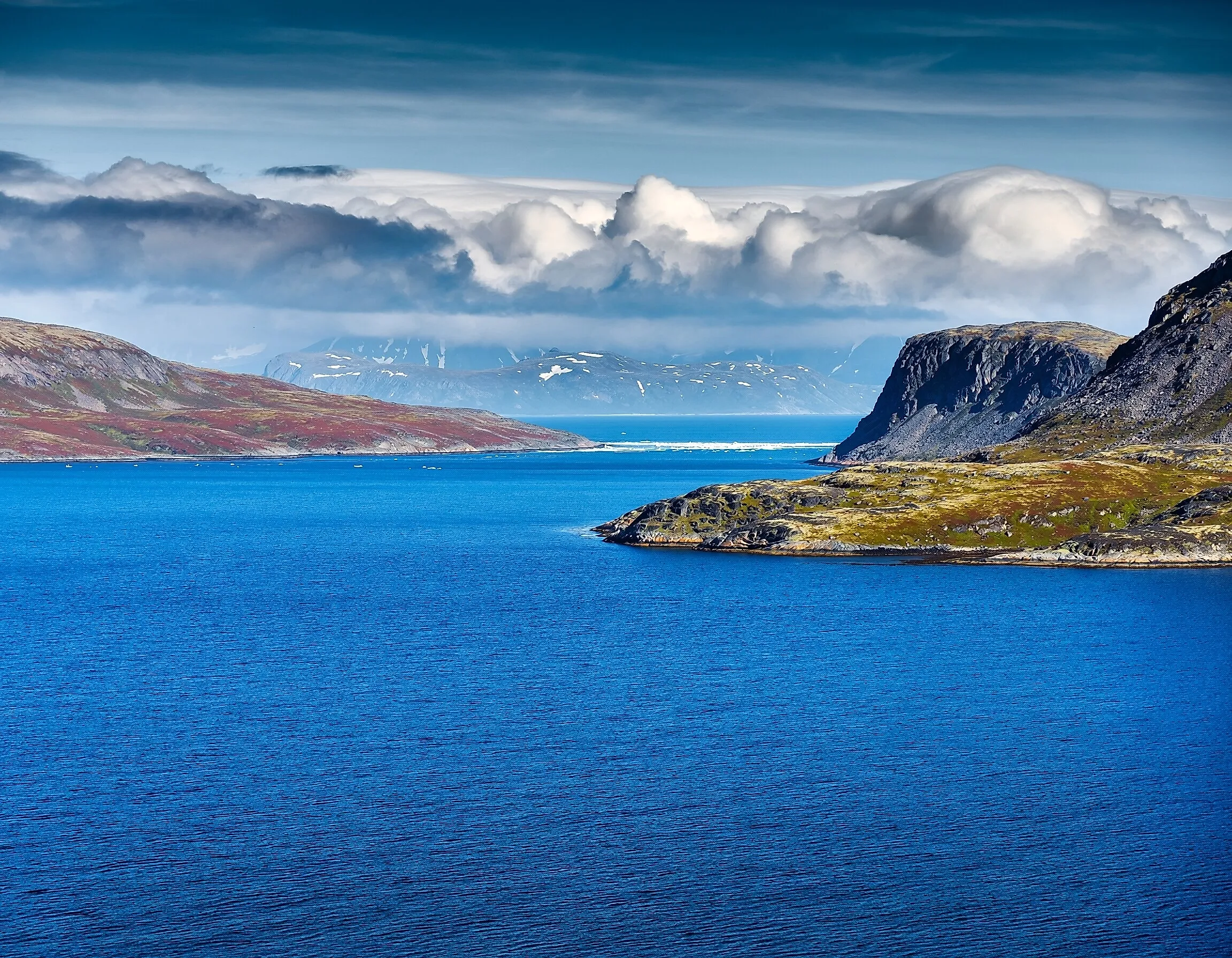
Where The Pacific Meets The Arctic
The Pacific Ocean meets the Arctic Ocean at the Bering Strait, separating Russia from Alaska. At the narrowest point, this strait is 53 miles wide and includes several islands. It is quite shallow, at only 98 to 165 feet deep. However, this strait was once not ocean water, but rather a land bridge that allowed animals and humans to cross over from Asia to North America. It only became an ocean strait at the end of the last Ice Age.
A gateway for water, ice, and marine life

The Bering Strait sits to the north of the Bering Sea between Russia's Chukotka Peninsula and Alaska's Seward Peninsula. During the winter, the sea can see ice fields of anywhere from 4 to 5 feet thick. This freeze begins in November and can last until June.
The Bering Sea's geology consists of an ocean basin on its southern end and a continental shelf to the north, which goes into the Bering Strait. Depths in this sea vary from more than 10,000 feet to just over 200 feet. This change in depth delivers deep nutrient-filled waters to the surface, which support crabs, plankton, and many other marine species. Storms with winds over 50 miles per hour and waves that are more than 30 feet high spread the nutrients on the water's surface, which enable the growth of phytoplankton.
Water flows northward through the strait, bringing plankton and plants to the Arctic Ocean. This flow of warmer Pacific waters through the Bering Strait melts ice in the Arctic and lowers overall salinity, which is one of the reasons the Arctic Ocean is the least salty of all the world's oceans.
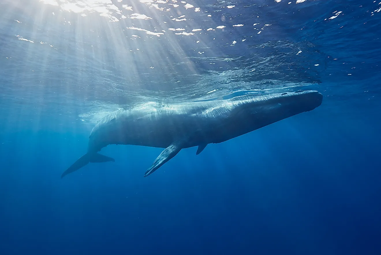
Despite the temperatures, the Bering Strait is a biologically productive part of the world, enabling migrations of more than one million large marine creatures ranging from gray whales to seals, walruses, and others. Gray whales in particular travel here all the way from Mexico, with humpback whales migrating during the summer.
Gray whales have served an important purpose in Alaska Native cultures, and whale hunting itself is common among those tribes as part of their culture. The southeastern Bering Sea itself also has so many fish that it supports a $2 billion fishing industry. In fact, there are an estimated 400 fish species that live in the Bering Sea. The fish support many coastal birds, inlcuding eagles, albatrosses, and puffins.
Bering Strait land bridge

Just as the Bering Strait today serves as a pathway for migratory marine mammals, at one point it was a path for land animals and humans to pass from Asia into North America.
This land bridge would not have been possible if not for massive glaciers, which formed during the last Ice Age. These glaciers trapped enough water within them that ocean levels dropped overall, which enabled shallower sections such as the Bering Strait to become a land bridge.
Although previously scientists believed this land bridge dates back to one million years ago, new research suggests that the Bering Land Bridge formed 36,000 years ago, before disappearing 11,000 years ago.
Scientists measured sediments found at the bottom of the Arctic Ocean, which contain microscopic fossils dating back to between 50,000 to 11,000 years ago. They were looking specifically at nitrogen-15 content, which is high in the Pacific Ocean but low in the Arctic. If a land bridge was present, then fossils should show significantly less nitrogen-15. These fossils had significantly smaller numbers of nitrogen-15 from 360,000 to 11,000 years ago.
This gives an approximately 25,000 year period for groups of humans to migrate across Asia to North America. in particular, Eastern Siberia and Western Alaska did not have glaciers, and were home to large populations of mammoths, mastodons, and giant bison, which proved attractive for Paleo-Americans to hunt. It is worth noting that this migration was likely not intentional, but rather a need to find new sources of food.
It is unknown exactly when humans began coming over this bridge, but researchers do know that Paleo-Americans spread quickly across North America and down into Central America. The earliest Paleo-American group known as the Clovis people have been found throughout the entire continent, with some sites dating back to 13,500 years ago all the way in Texas. One of the oldest confirmed spot for human settlement lies all the way in South Carolina at the Topper Site, dating back 15,000 years ago, but that age is still debated among archaeologists.
Some researchers suggested that Paleo-Americans could have sailed from the Pacific coasts from areas such as Oceania. Linguist Johanna Nichols also claims that it would have taken close to 50,000 years for one language spoken by a single group to develop into the types of languages spoken by all the Native Americans today.
Interestingly, there is evidence that Paleo-Americans from Alaska did go back to Siberia via boats in the past. For example, three people who died in the Kamchatka Peninsula 500 years ago were analyzed, and their DNA shows Paleo-American ancestry.
How the strait got its name

The Bering Strait gets its name from a Danish explorer named Vitus Bering, who was born in 1681 in Horsens, Denmark and lived until 1741.
During the 18th century, Europeans were not aware of whether Asia and North America were connected by land or by sea. Tsar Peter I, also known as Peter the Great, was especially invested in answering this question. As the Tsar of Russia, he was known for his policy of westernization, favoring European styles such as mustaches over long beards, and had brought on many experts from throughout Europe to westernize its administration and military.
Peter the Great had secured a coastal port on the Baltic Sea by conquering territory from Sweden in the Great Northern War, which he built as St. Petersburg. In 1724, he turned his attention to his eastern borders, appointing Bering to lead an expedition to discover if Asia and North America were linked via a passage.
In 1728, Bering would be the first European to chart the Bering Strait and into the Arctic Ocean. Through this journey, he was able to confirm that North America and Asia were not linked, but instead separated by this narrow strait of water. Later on, he took part in the Great Northern Expedition to map the Arctic coast of Siberia, although he would wreck his boat on the coastline of the Bering Island in 1741, where he passed away.
This expedition would later pave the way for Russian settlement of Alaska, with the first colony established in 1784 on Kodiak Island.
One of the Arctic's few entry points
The Arctic is nearly landlocked, surrounded on Eurasia, North America, and Greenland. Although there are wider passageways through the Greenland Sea in the Atlantic, the Pacific passage is only available via the narrow Bering Strait. Ice coverage has traditionally made navigating any of these pathways difficult, but with changing global temperatures, ship traffic is increasing in the Bering Strait. This change however, brings with it risks of contamination from oil spills. The International Maritime Organization has set in place certain guidelines since 2018 for ecologically important places to be avoided. Either way, the Bering Strait has been a significant pathway for animals and humans for millennia, and it will continue to serve that role in the ages to come.