How Long A Freighter Takes To Cross All Five Great Lakes
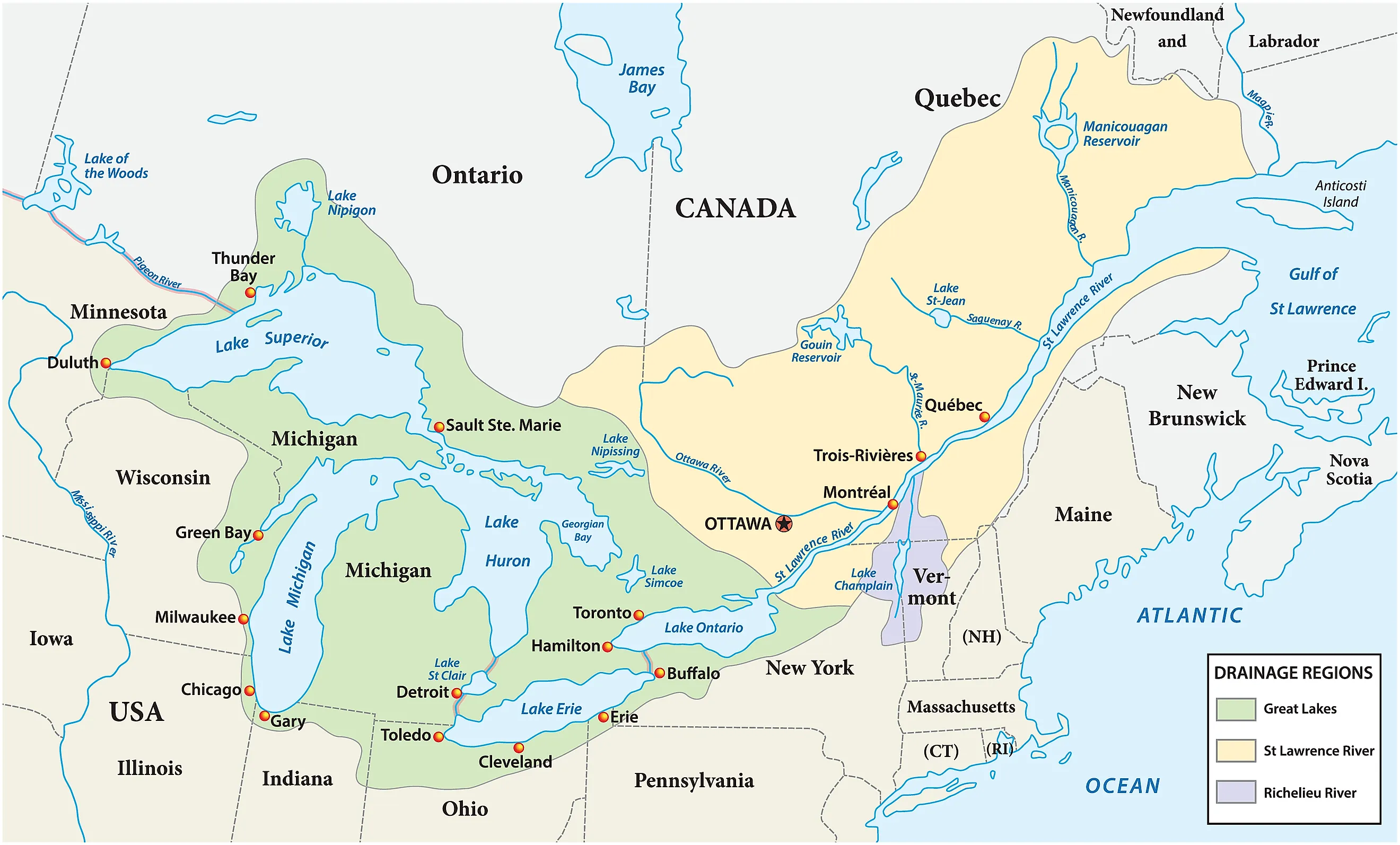
A freighter that touches all five Great Lakes needs roughly six days of sailing, and most freighters on the lakes cannot make the trip at all. The main shipping route covers 1,025 statute miles (1,650 km) between Duluth, Minnesota, and the harbor at Toronto. That main route reaches only four lakes, because Lake Michigan sits off to one side, and taking it in adds a 672-mile (1,081 km) detour out and back. The full five-lake voyage therefore covers about 1,700 miles (2,735 km). At the roughly 275 miles (443 km) a day the Seaway uses as a benchmark, that comes to the better part of a week. The sections below follow the route downbound, meaning in the direction the water flows, starting on the highest lake and finishing on the lowest. Open water is the fast part of the trip, with major delays typically held in three places: a single 21-foot (6.4 m) lock step, 87 miles (140 km) of speed-limited river, and eight locks on the Niagara Peninsula.
Lake Superior

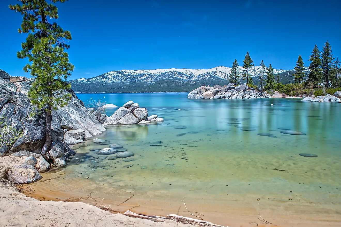
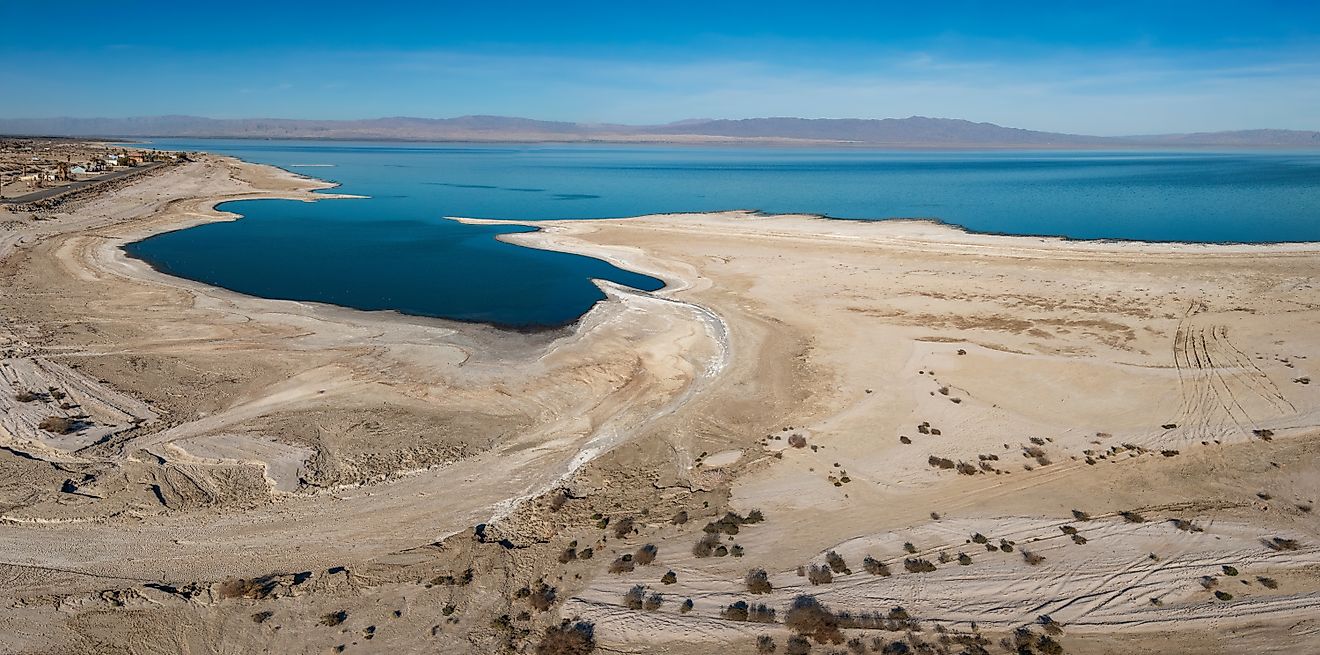
Lake Superior gives a freighter the longest stretch of the voyage with nothing to slow it down. The lake stretches 350 miles (563 km) end to end and 160 miles (257 km) wide, covering 31,700 square miles (82,100 km²). A ship leaving Duluth points southeast and holds that course for hundreds of miles without meeting a lock or a speed limit. The distance between Duluth and Sault Ste. Marie is 394 statute miles (634 km). A statute mile is the ordinary land mile of 5,280 feet, and shipping tables on the lakes are kept in statute miles rather than the longer nautical miles used at sea.
Depth is the reason a ship can travel that freely. Superior averages 483 feet (147 m) and reaches 1,332 feet (406 m), the deepest water anywhere in the system. Where a lake is that deep, there is no shallow bottom to run aground on and no need to dredge a narrow channel across it, so a freighter picks its own line and holds whatever speed the weather allows. Shallower water further along the route takes both of those freedoms away. Superior also sits higher than anything else on the route, 600 feet (183 m) above sea level. Toronto harbor sits at 243 feet (74 m), so a downbound ship has 357 feet (109 m) of descent ahead of it, and every one of those feet has to be given back inside a lock. One limit applies to the whole trip from this point on. The locks below Superior shut in mid-January and stay shut into late March each year for ice and maintenance.
The St. Marys River And The Soo Locks

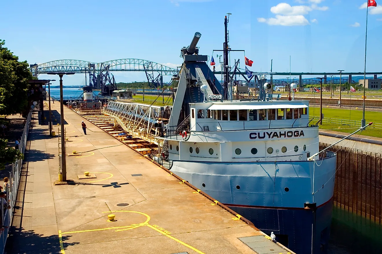
The St. Marys River drops 21 feet (6.4 m) between Lake Superior and the water below. Rapids run over that drop, and no ship can travel through them. Every vessel goes through a lock instead, a walled chamber with a gate at each end that raises or lowers a ship by filling or draining around it. The Soo Locks at Sault Ste. Marie handles the entire 21-foot step, and the Poe Lock is the only chamber that is big enough for the largest freighters on the lakes.
Twenty-one feet is a small share of the descent a loaded ship still has ahead of it, and the locks manage the step without pumps of any kind. Valves open, gravity does the rest, and about 22 million gallons move through the Poe every time a ship is raised or lowered. Below the locks, the river winds roughly 45 miles (72 km) southeast to DeTour Passage, where the next lake begins.
Lake Huron

Lake Huron takes the ship back into open water for 269 miles (433 km), the distance between Sault Ste. Marie and Port Huron. The lake covers 23,000 square miles (59,600 km²) and measures 183 miles (295 km) wide by 206 miles (332 km) long. Georgian Bay opens to the east behind Manitoulin Island.
Huron and Lake Michigan share an elevation of 577 feet (176 m). The Straits of Mackinac join the two without any drop between them, so the water sits at the same height on both sides, and scientists count the pair as a single body of water. A ship leaves the St. Marys and reaches the southern end of Huron without losing a foot of elevation. These 269 miles are the last long stretch a freighter covers at a speed of its own choosing. A vessel bound for all five must break off partway down, at the straits. Everything below Port Huron narrows into rivers, where the speed limit rather than the engine room sets the pace.
Lake Michigan

Lake Michigan is the one lake that does not sit along the route. The other four form a chain, each draining into the next, so a downbound ship crosses them in order without ever choosing a direction. Michigan drains through the Straits of Mackinac into Huron, which puts it at the end of a dead end rather than in the middle of the chain. A ship that wants to cross Lake Michigan has to turn off the main route at the straits, sail south, and come back the same way.
That detour is the single biggest distance in the whole trip. Michigan measures 307 miles (494 km) between the straits and its southern end. Sailing distance between the straits and the port of Gary, Indiana, is 336 statute miles (541 km). Out and back is 672 miles (1,081 km), against 1,025 miles for the entire voyage. A freighter working ore, coal, or grain has no reason to make that turn, and almost none of them do. Commercial traffic sticks to the chain of four, which is from Superior down through Huron and Erie to Ontario. Ships that serve Lake Michigan typically come up to it and go home again.
The St. Clair And Detroit Rivers

The St. Clair River carries the ship out of Lake Huron and into the most tightly regulated 87 miles (140 km) of the trip. Federal rules cap large vessels at 12 miles per hour (19 km/h) between Fort Gratiot Light and St. Clair Flats Canal Light 2. The Coast Guard sets the limit to prevent collisions and groundings in a narrow channel and to keep ship wakes from damaging other vessels and the shoreline. The same 12 miles per hour applies through the Detroit River, and in the channel south of Peche Island, the cap drops to 5.8 miles per hour (9.3 km/h).
Between the two rivers, the water spreads out into Lake St. Clair, which is too shallow for ships to cross the way they cross Superior. Traffic keeps to a channel dredged across the bottom. The channel narrows again at Detroit, busy in both directions, with an international boundary running down the middle of it. For all that effort, the corridor drops only eight feet (2.4 m). Huron stands at 577 feet (176 m), Erie at 569 feet (173 m). A ship held to 12 miles per hour needs more than seven hours to run 87 miles, and it finishes almost exactly as high as it began.
Lake Erie

Lake Erie runs 241 miles (388 km) between the Detroit River mouth and the Niagara end, and the crossing goes quickly. The sailing distance between Detroit and Port Colborne, where the Welland Canal begins, is 244 statute miles (393 km). Erie is narrow too, 57 miles (92 km) at its broadest point. Erie is the shallowest of the five by a wide margin. Its average depth of 62 feet (19 m) is less than a seventh of Superior's average. The deepest point anywhere in Erie is 210 feet (64 m), which is still shallower than Superior's average depth. Erie's surface elevation is 569 feet (173 m), eight feet lower than Huron. Almost all of the descent still to come waits at Port Colborne.
The Welland Canal

The Welland Canal lowers a ship 326 feet (99 m) in about 27 miles (43 km). That single canal accounts for more than 90% of the entire 357-foot descent between Lake Superior and Lake Ontario. Eight locks do the work. Seven of them cluster at the northern end, three of those built side by side in pairs. The eighth sits at Port Colborne. It is a control lock, holding the canal at a steady level against Lake Erie, where wind can push the water several feet either way. The Seaway allows about 45 minutes for a ship to get through one lock. Eight of those, plus the short runs between chambers and any wait behind other traffic, are why 27 miles of canal take longer than the 241-mile lake behind it.
The canal is also where the voyage ends for a large part of the fleet. The chambers measure 766 feet (234 m) long by 80 feet (24 m) wide, and because a ship needs room to slide in and out, the largest vessel allowed through is 740 feet (226 m) long and 78 feet (24 m) wide. The Paul R. Tregurtha, the longest ship on the lakes at 1,013.5 feet (309 m) and 105 feet (32 m) across, cannot enter. Neither can any of the other thousand-footers, the class of freighters built at or near 1,000 feet long. Those ships work the upper four lakes and never see Lake Ontario.
Lake Ontario

Lake Ontario finishes with the shortest open-water crossing anywhere on the chain. The lake measures 193 miles (311 km) long and 53 miles (85 km) across, covering 7,340 square miles (18,960 km²), the smallest surface of the group. The distance between Port Colborne and Toronto is 55 statute miles (89 km), and the Welland Canal accounts for roughly half of that.
Ontario is the lowest of the lakes at 243 feet (74 m), some 357 feet (109 m) below where the ship started. The lake is deep for its size, averaging 283 feet (86 m) against Erie's 62 feet. Ontario holds more than three times as much water as Erie while covering about three-quarters of the surface area. Below Ontario, the water leaves the lakes entirely through the St. Lawrence River, and a ship continuing that way meets seven more locks and the whole remaining drop to sea level before Montreal. For a voyage ending at Toronto, though, Port Weller at the Lake Ontario end of the Welland is the last gate.
Where The Days Go

The open lakes account for most of the distance and hardly any of the delay. A ship crosses Superior, Huron, Erie, and Ontario at whatever pace its engines and the weather permit. Those four crossings make up the bulk of the 1,025 miles between Duluth and Toronto. The rivers and the canal between those lakes come to under 200 miles (322 km) in total, and they take up far more of the clock than their length suggests.
The Seaway publishes a benchmark for the longer version of this trip. The run between the Atlantic Ocean and Duluth measures 2,342 statute miles (3,769 km) and 8.5 sailing days, a pace of roughly 275 miles (443 km) a day. Season is the final limitation. The Soo Locks close in mid-January and reopen in late March, while the Seaway itself opens in the third week of March and closes in late December. No freighter makes this run between mid-January and late March, no matter its size.
The Time Is In The Connections
The full trip covers five lakes, roughly 1,700 miles (2,735 km) including the Lake Michigan detour, and 357 feet (109 m) of descent, with nearly all of it inside a single canal. The lakes themselves are the easy half of that arithmetic, wide and deep and free of speed limits. Everything that stretches the trip to a week belongs to the narrow water joining them, which is also the reason the biggest ships on the lakes will never see all five.