How California Accidentally Created The Salton Sea
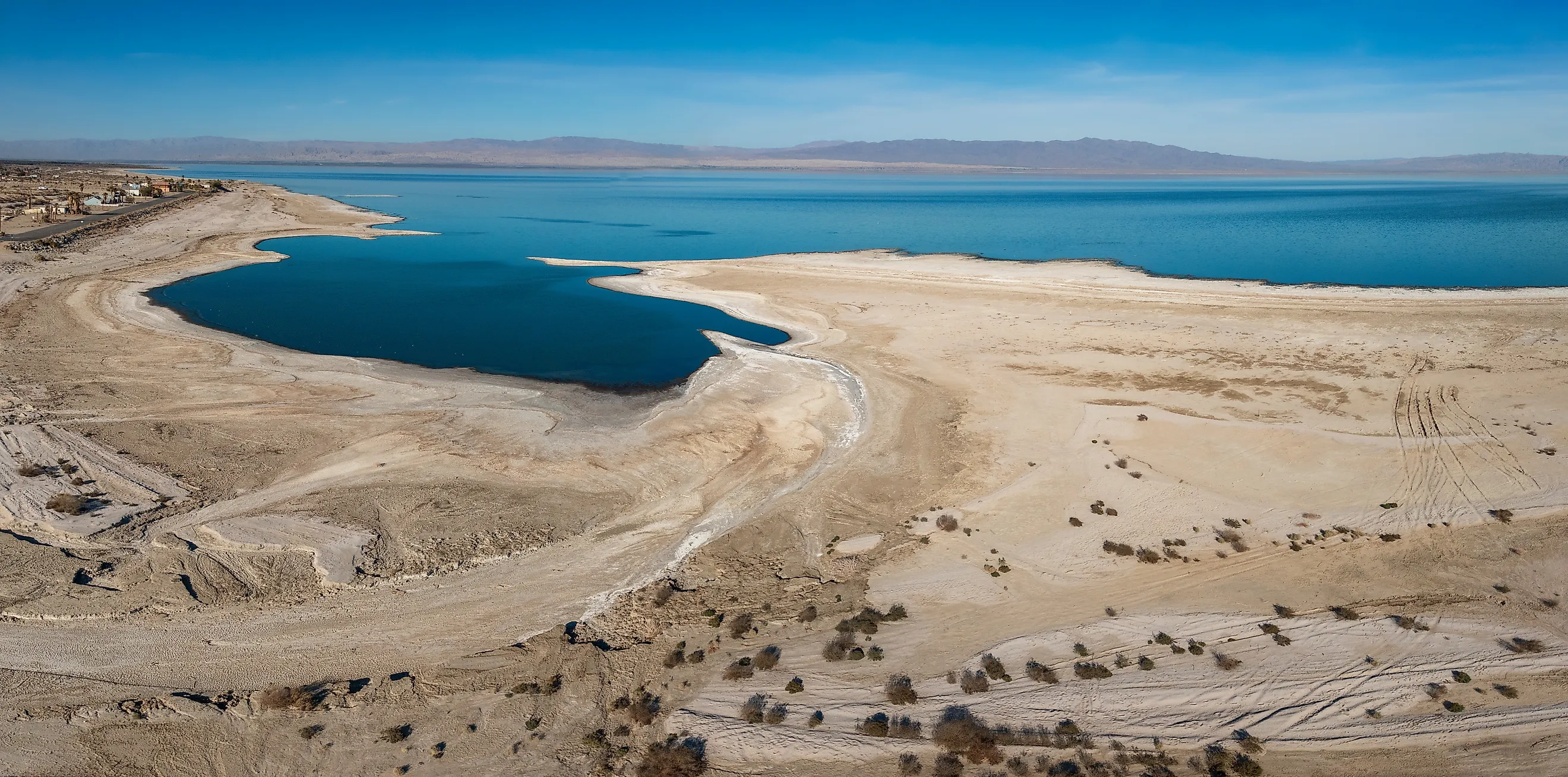
Right now, California’s largest lake is dying, and the dust blowing off its exposed bed has been linked to slower lung growth in the children who live around it. The Salton Sea sits in the desert below sea level between the Imperial and Coachella valleys, ringed by collapsing resort towns, mummified fish, and some of the highest childhood asthma rates in the state.
Most Californians assume a lake that size has always been there. It has not. The whole thing is an accident, set off in 1905 when an irrigation project lost control of the Colorado River and sent it pouring downhill into the Salton Sink, a basin with no way to drain. How a single broken canal filled a desert, and why the water is now retreating just as fast, is a story the state is still living with.
The River Had Filled This Desert Before
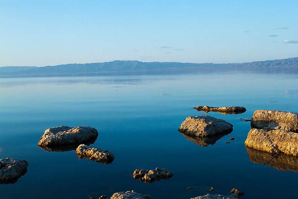
The Salton Sink lies in a low basin separated from the Gulf of California by the Colorado River's sediment-built delta. Water crossing that delta toward the northwest runs downhill into the basin. Long before irrigation canals, the river periodically changed course and filled a much larger freshwater lake here, known as Lake Cahuilla. When the river shifted away, evaporation gradually reduced the lake.
Its former shoreline survives around the valley, roughly 40 feet above sea level. Cahuilla people fished these waters, building stone traps in the shallows and establishing camps along the shore. The modern Salton Sea occupies only part of that older lakebed. Old river channels provided routes for the 1905 flood to reach the basin's lowest ground.
A Clogged Canal Led To An Ungated Intake

The California Development Company began delivering Colorado River water to the Imperial Valley in 1901. Its system carried water across Mexican territory and used the Alamo River channel to bring it north into California. This route took advantage of the terrain, allowing irrigation water to reach desert farmland by gravity.
Silt accumulated in the upper canal, restricting deliveries when farmers needed water. In 1904, engineer Charles Rockwood authorized another cut through the Colorado's western bank, about four miles south of the border. The new intake bypassed the blockage. It had no headgate to regulate the flow.
Rockwood expected to close the opening before the summer floods. Instead, repeated winter floods arrived in early 1905. Later floods defeated attempts to close the opening. By June, the intake had widened and water was overflowing the canal.
Floodwater Tore Through Farms And Railroad Lines

As the opening enlarged, the diversion carried far more water than the farms could use. Eventually, nearly the entire Colorado River was flowing toward the Salton Sink. The Alamo and New River channels carried floodwater across the Imperial Valley, eroding farmland as well as inundating it. Waterfalls developed in the soft sediment, cutting backward upstream and leaving deep channels behind.
Damage extended beyond the rising lake's shoreline. Floods destroyed irrigation structures, cutting off water deliveries to some cultivated land even while other fields stood underwater. The New Liverpool Salt Company's works were buried beneath roughly 60 feet of water. Floodwater also covered part of the Torres Martinez Reservation. Southern Pacific repeatedly relocated track to higher ground.
Southern Pacific Dumped Trainloads Of Rock Into The Breach

Southern Pacific had a direct reason to intervene: the flood threatened its railroad and the farming settlements that supplied it with business. The irrigation company lacked the resources to control the river. Railroad crews and engineers took over the effort, building barriers across the flow. Crews closed the breach in November 1906. Another flood broke through nearby levees the following month, sending water into the basin again.
For the successful closure, workers built railroad trestles across the breach and brought in loaded freight cars. They dumped large rocks into the current, then added smaller material to fill the gaps. Sand and gravel helped seal the barrier. By February 1907, the river was flowing toward the Gulf of California again. Crews reinforced levees to protect the lowlands, while the accumulated floodwater remained in the Salton Sink.
Farm Drainage Kept The New Lake Supplied

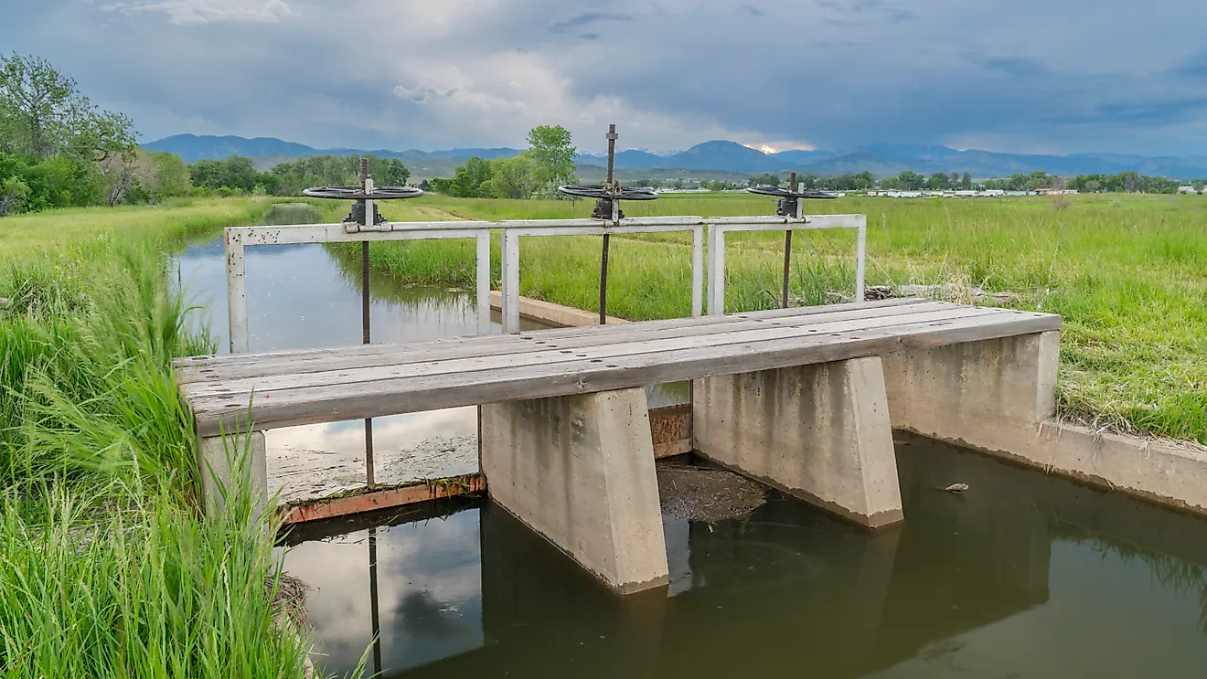
The Salton Sea has no outlet to the ocean. Once the flood stopped, evaporation began lowering the water, but the irrigation system continued supplying the surrounding farms. Agricultural drainage flowed downhill into the lake, eventually sustaining it long after the original accident. The Alamo and New rivers became important drainage routes through the cultivated valley.
A federal wildlife refuge was established in 1930, providing habitat for migrating birds along the Pacific Flyway. Introduced fish supported a recreational fishery, and Salton Sea State Recreation Area opened in 1955. Yet the same enclosed basin that collected runoff also retained its dissolved salts: evaporation removed water while leaving salt behind.
The Shrinking Lake Leaves Its Bed Exposed To Wind

Reduced inflows have since caused the Salton Sea to shrink, concentrating its salts further. Water conservation and transfers have reduced the agricultural drainage reaching the basin. The retreating water exposes lakebed that can release windblown dust, adding to air-quality problems around the Imperial Valley. Increasing salinity has also reduced the lake's ability to support fish and the birds that feed on them. Areas near agricultural drains and river mouths provide less-salty water where fish can persist.
At the southern end, the Sonny Bono Salton Sea National Wildlife Refuge manages wetlands and fields for resident and migrating birds. Its habitats include cattail marshes and open-water ponds. Refuge staff purchase fresh water from the Imperial Irrigation District to supply most ponds and fields. They grow ryegrass and wheat for wintering waterfowl.
Engineered Ponds Now Cover The Exposed Lakebed
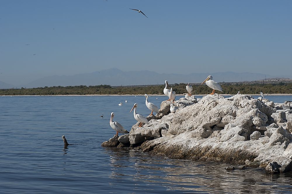
At the Salton Sea's southern end, California is building enclosed ponds on exposed lakebed through the Species Conservation Habitat Project. The original East Pond filled in early April 2025, and in May the state marked water reaching the larger East Pond Expansion; together the two ponds account for roughly 2,000 acres of the project. Berms and water-delivery structures contain and distribute the water across the lakebed, and the ponds are engineered to sustain fish and birds while their coverage helps suppress dust. The design includes islands where birds can nest and rest above the waterline. Once planned at about 4,100 acres, the habitat program is now envisioned to span more than 9,000 acres as part of the state's longer-term Salton Sea plan.
An Accident The State Now Works To Manage
The Salton Sea exists because a river broke loose and the basin had nowhere to drain, and the same closed geography now governs its decline. Water that once arrived as farm runoff is being conserved elsewhere, salt keeps concentrating, and the exposed bed turns to dust. The restoration ponds do not refill the sea so much as manage what the accident left behind, trading a shrinking saltwater lake for engineered patches of habitat and dust control along its edges.