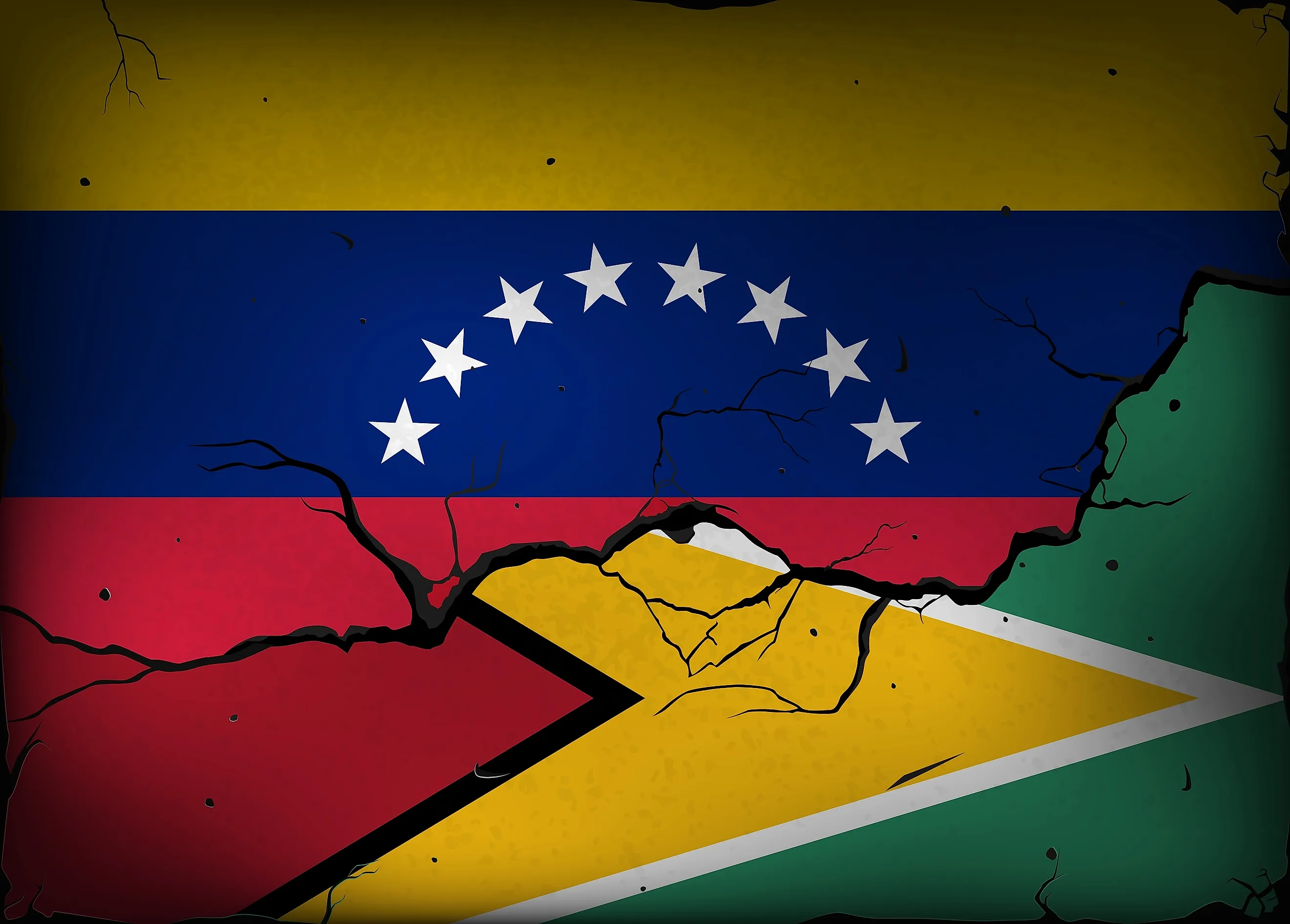
What Is The Venezuela-Guyana Border Dispute
Vast forests, rivers, and savannas of the Essequibo region dominate western Guyana, stretching from the Atlantic coast deep into the interior of northern South America. Covering roughly 62,000 square miles, the territory accounts for about two-thirds of Guyana’s land area. It is bordered by Venezuela to the west, Brazil to the south, and Guyana’s more densely populated coastal regions to the east. The area contains extensive tropical rainforests, savannas, major waterways including the Cuyuni and Essequibo rivers, and valuable mineral and timber resources. The region’s importance has grown since major offshore oil discoveries in Guyana’s Atlantic waters, especially in the Stabroek Block.
The Origins of the Dispute

The disputed area lies mainly west of the Essequibo River, the largest river entirely within Guyana. It is also the largest river between the Orinoco and Amazon systems. The area contains valuable deposits of gold and diamonds, along with timber resources, but the dispute has gained wider attention because of offshore petroleum discoveries that helped turn Guyana into one of the world’s fastest-growing oil producers. During the Spanish colonial era, Spain claimed territories extending across much of northern South America. To the east, Dutch settlements developed along the Essequibo, Demerara, and Berbice Rivers. Following the Napoleonic Wars, Britain formally acquired the Dutch colonies in 1814 and eventually consolidated them into British Guiana. Throughout the 19th century, the precise boundary between Venezuela and British Guiana remained contested. British and Venezuelan officials advanced competing territorial claims based on differing interpretations of maps and administrative control.
The 1899 Paris Arbitral Award

To resolve the disagreement, Britain and Venezuela agreed to submit the matter to international arbitration. On October 3, 1899, an arbitral tribunal meeting in Paris issued the decision that favored Britain and granted most of the disputed territory to British Guiana. Boundary commissions then surveyed and demarcated the border between 1900 and 1905, after which the established boundary functioned as an international frontier.
The dispute resurfaced in 1949, when a memorandum written by Severo Mallet-Prevost, a U.S. lawyer who had served with Venezuela’s legal team during the arbitration, was published after his death. The document alleged political irregularities in the arbitration process and suggested that the decision resulted from a political compromise rather than a purely legal judgment. Venezuela cited the memo as evidence that the award was invalid. In 1962, Venezuela formally raised objections before the United Nations, arguing that the 1899 award should be considered void. Those objections led to renewed negotiations as British Guiana moved toward independence.
The Geneva Agreement and Oil Discoveries

On February 17, 1966, representatives of Venezuela, the United Kingdom, and British Guiana signed the Geneva Agreement. The agreement established mechanisms intended to seek a practical settlement of Venezuela’s claim. From 1966 through the early 21st century, numerous diplomatic initiatives attempted to address the controversy; however, despite decades of talks, no mutually acceptable settlement emerged. In January 2018, after years of unsuccessful UN-led talks, Secretary-General António Guterres referred the controversy to the International Court of Justice.
The dispute entered a new phase in May 2015, when the Liza oil discovery was announced in Guyana’s offshore Stabroek Block. Although the discovery was offshore, it increased the economic importance of Guyana’s Atlantic coast and brought renewed attention to the Essequibo controversy. Venezuela continued to assert its claim, while Guyana pushed ahead with offshore energy development.
In March 2018, Guyana filed an application before the International Court of Justice (ICJ) seeking confirmation of the legal validity of the 1899 arbitration award and the resulting boundary. In December 2020, the court determined that it had jurisdiction to consider the validity of the award, and in April 2023, the court rejected additional Venezuelan objections to its jurisdiction.
Recent Shifts and Current Status

Regional security shifted dramatically after the United States intensified pressure on then-President Nicolás Maduro in 2025, increasing the State Department reward for information leading to his arrest or conviction to $50 million. The U.S. government also designated Cartel de los Soles as a terrorist organization, following earlier sanctions that identified the group as a Specially Designated Global Terrorist entity. Maduro was taken into U.S. custody during a U.S. military operation in Caracas on January 3, 2026, and transferred to New York to face federal charges, including narco-terrorism and drug trafficking. His arrest changed Venezuela’s political landscape, but it did not change the ICJ case over the 1899 arbitral award.
The most recent major legal development occurred between May 4 and May 11, 2026, when the International Court of Justice in The Hague conducted oral hearings on the merits of the case. Guyana argued that historical evidence, international practice, and boundary demarcation confirmed the validity of the 1899 award, while Venezuela maintained that the Geneva Agreement requires a negotiated settlement and challenged the court’s role in deciding the dispute.
As of June 11, 2026, the court is deliberating, and no final judgment on the merits has been announced.
What Happens Next?

The next major event will be the ICJ’s eventual ruling. If the court upholds the 1899 award, Guyana would likely regard the existing boundary as confirmed under international law. If the court reaches a different conclusion, the two countries could face further negotiations over the boundary. For now, Essequibo’s forests, rivers, mountains, and nearby offshore waters remain at the center of one of the Western Hemisphere’s longest-running territorial disputes. More than a century after arbitrators in Paris attempted to settle the matter, the geography of this remote corner of South America continues to shape diplomacy, law, and national identity across the region.
The United Nations has urged both countries to resolve their differences peacefully and in accordance with international law, while the Organization of American States (OAS) has backed Guyana's territorial integrity and called on Venezuela to respect the court process. The Caribbean Community has similarly supported Guyana's administration of the territory and called for the controversy to be settled through the ICJ. These statements show that regional bodies largely favor a peaceful legal resolution rather than uniateral action.